Adventure in Angola
- On December 3, 2023
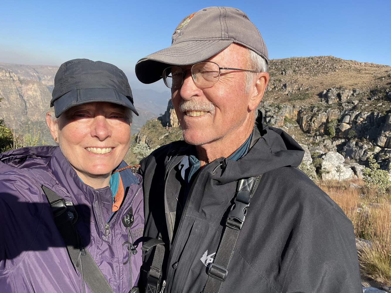
In May, we traveled to a place that many people haven’t heard about, much less visited — Angola. Here’s the story of why and what we found there. And for more on Angola’s biodiversity, check out the article on Terry’s “Saving Terra” substack!
Where – and What – is Angola?
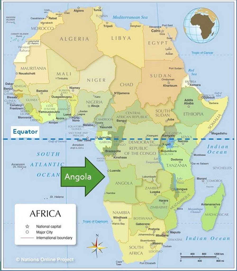
As you see on the map above, Angola is on the southwestern coast of Africa a little south of the equator. Although it’s not that familiar to many of us, it is big! It is almost twice the size of Texas (481,351 square miles). It has a coastline on the Atlantic Ocean of 1,000 miles (California’s coastline is 840 miles). And it stretches almost 1/3 of the way across the African continent. (Map source: Nations Online Project)
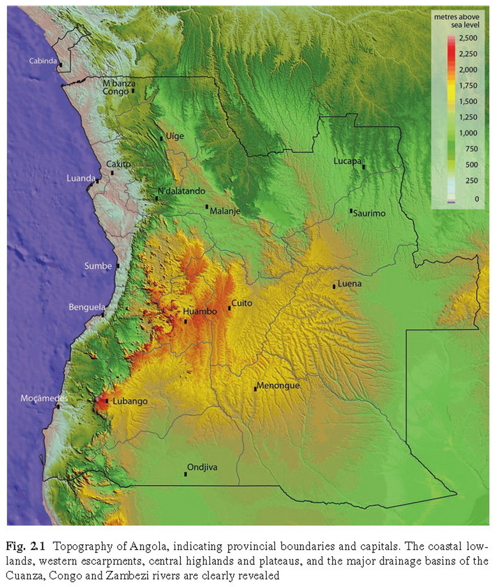
This map, from “Ecology of Angola” by Brian John Huntley, shows the country’s topography. This and other information connected with Karen’s earth sciences undergraduate degree. Without going into all the details, here a a few notable things about the land in Angola that create the unique habitats and support the special birds that are found here.
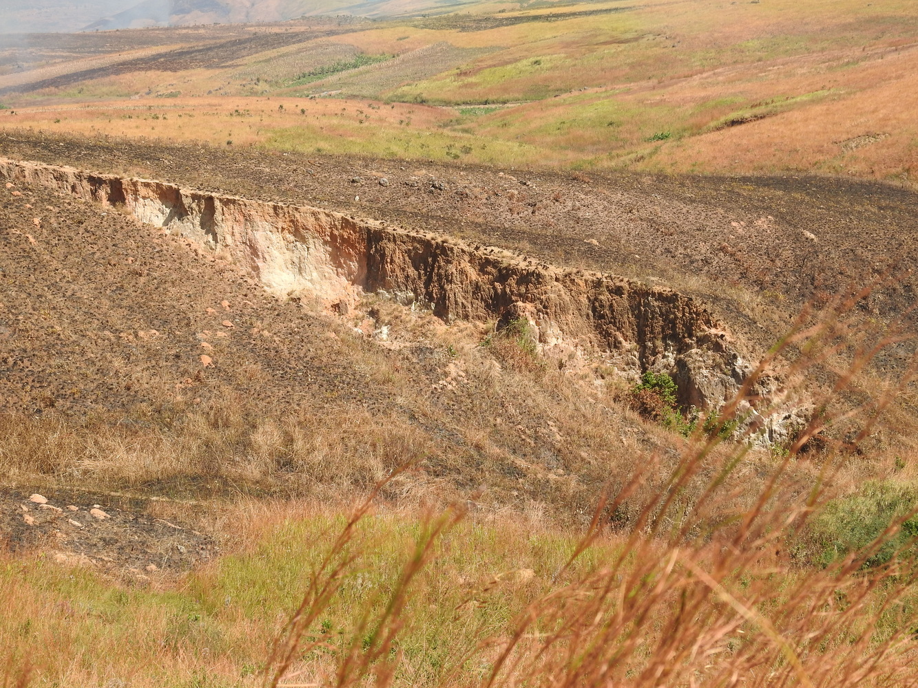
First, Angola has substantial areas of Precambrian geology – the oldest rocks that still exist in the world. Second, the theory of plate tectonics is very visible here. Geologists who study the earth’s changes over time identify an original supercontinent, Gondwana, that included both the American and African continents of today. That continent split in two and, as a result, the rock in coastal western Angola is related to rock on the Amazon plate! Third, the sharp color demarcations on this map reflect major escarpments, where cliffs rise suddenly and steeply. They are spectacular! All these features create a country with unique ecosystems and therefore birds and other creatures that exist nowhere else.
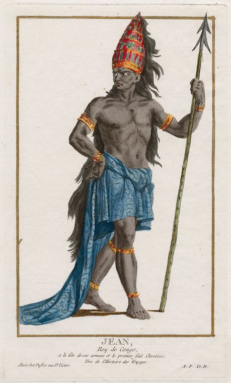

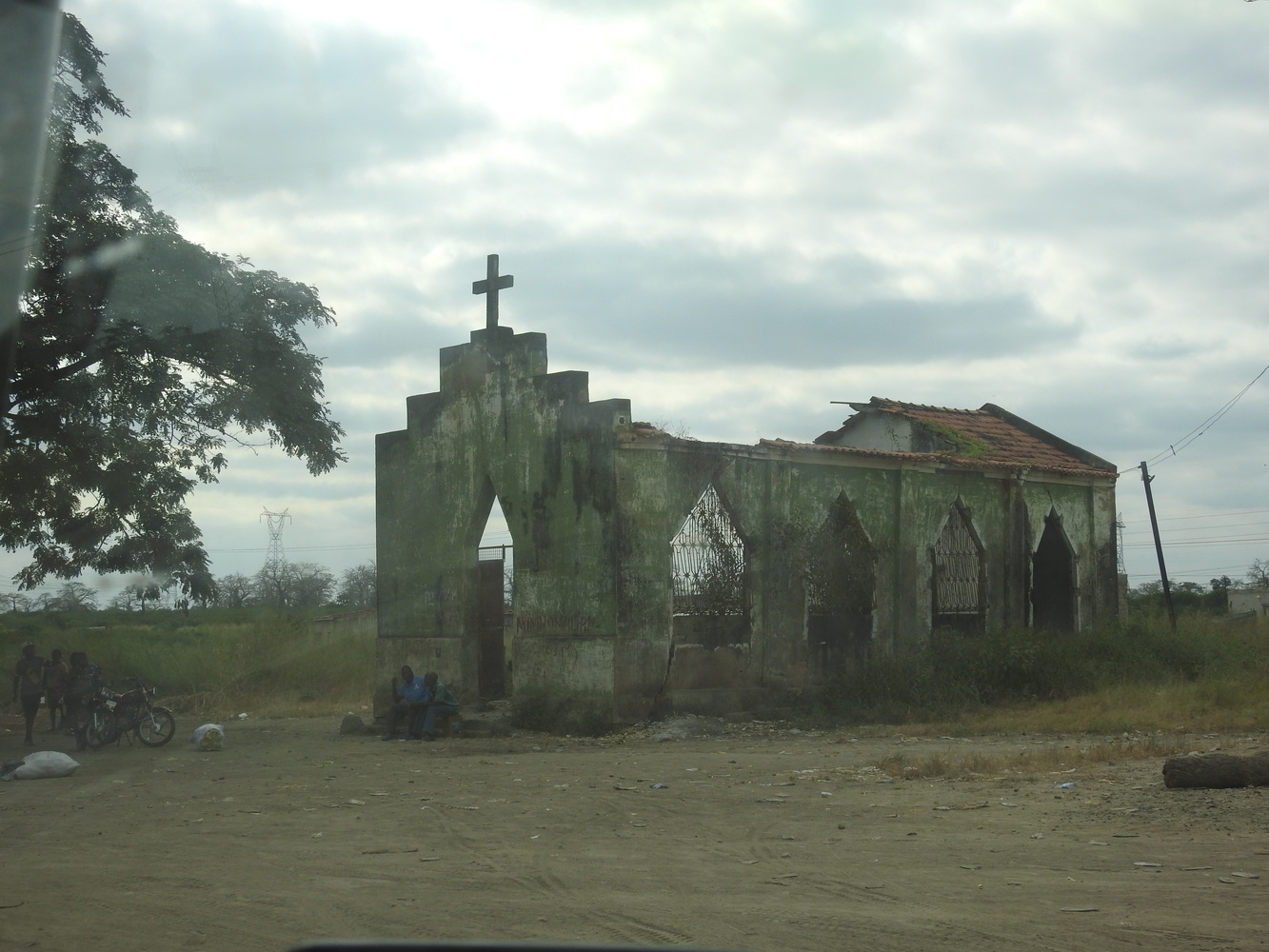
Angola’s history has parallels with other places around the world. It was the center of one of Africa’s most powerful kingdoms, Kongo, by the middle of the 15th century. The first Europeans — Portuguese — arrived in 1482. After a few years of interactions, the Kongo King Nzinga become Catholic and took the name João (Jean) after the Portuguese king (you see him above). During the first several centuries of being a Portuguese colony, Angola’s exports were oil, diamonds and people. An estimated 4 million slaves were exported from this country through 1850. Angola remained a colony later than many other African nations. It did not become independent until 1974 – well into our adult lives.
Almost as soon as Angola became independent, civil war began. This was a Cold War ‘proxy battle’ between the Angolan government (supported by USSR with military assistance from Cuba) and the UNITA rebels (supported by the USA with military assistance from South Africa). Civil war continued for 30 years, only ending in 2002 with the death of UNITA’s charismatic leader Jonas Savimbi. Since then, the country has continued to struggle with recovery on many fronts.

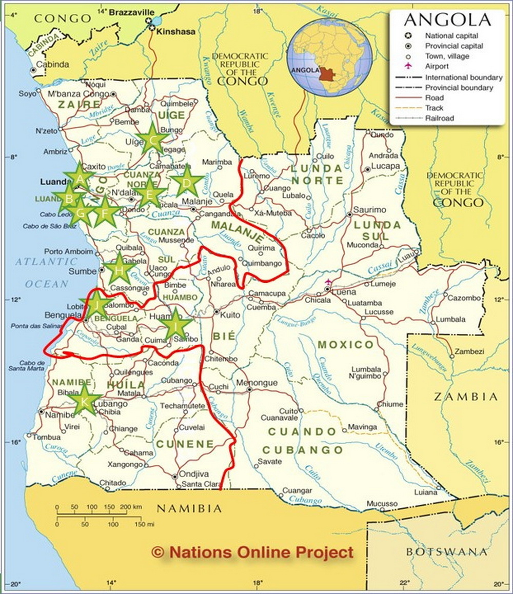
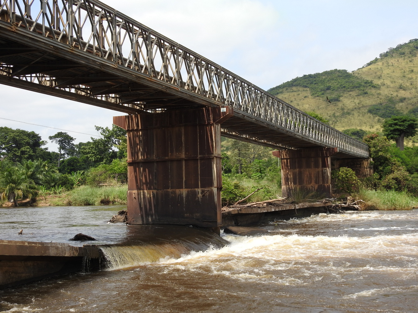
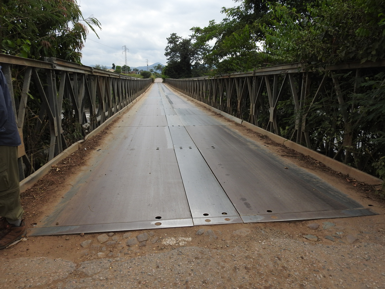
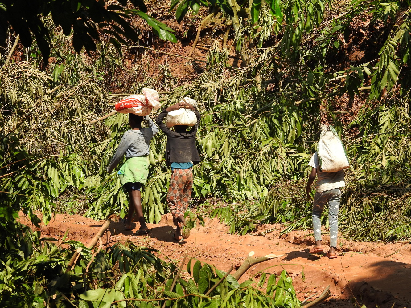
One of those is land mines. Both sides of the civil war used mines. As of 2005, there were still an estimated 15 million land mines remaining on the land and Angola had the highest rate of amputees per capita of any country in the world. As the first map above shows, much of eastern Angola is still unsafe due to mines. Our travels, indicated by stars on the second map, avoided most of those provinces. But we learned about the mines first-hand, as you will see. (Maps from “The Geography of Landmines and Implications for Health and Disease in Africa” and from the Nations Online Project)
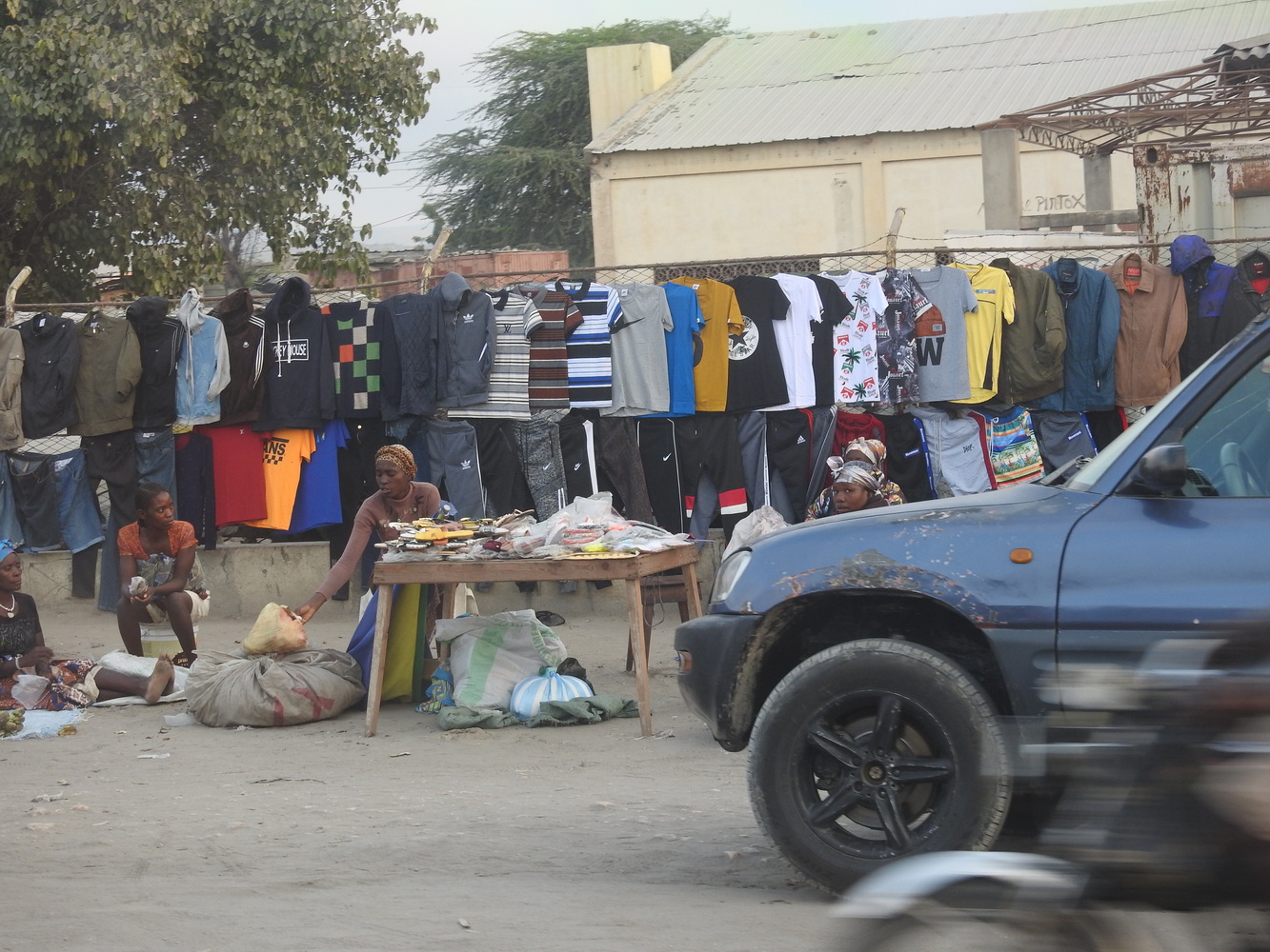
Angola has a population slightly smaller than Canada’s. But it has the 4th highest fertility rate in Africa and the median age of the population is 16 — compared to 38 in the US. With an economy that is still very much subject to the results of colonialism and civil war, the country’s future appears very challenging.
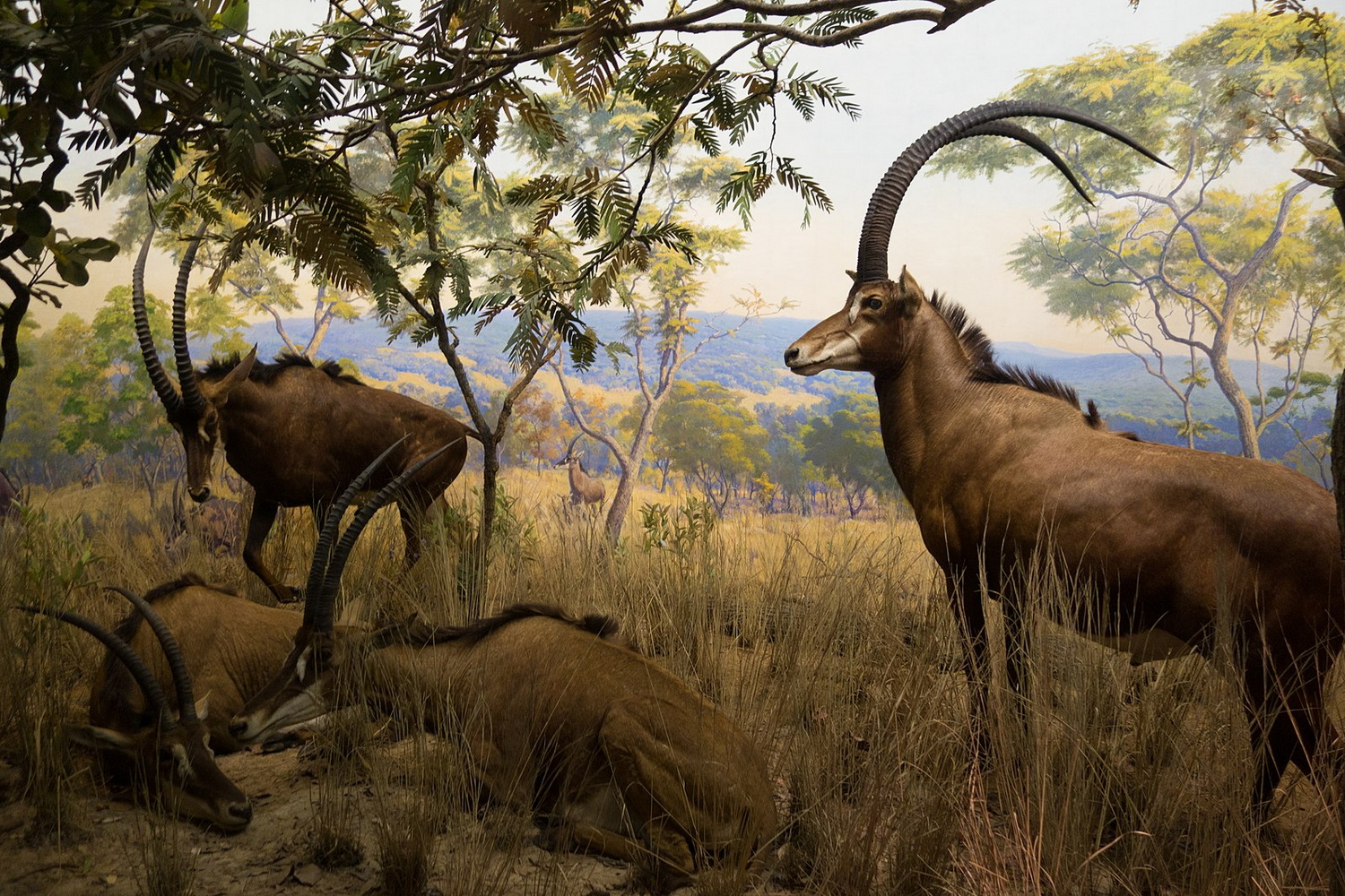
There is one natural asset that seemingly unites all Angolans. The Giant Sable is a large antelope with very long, curved horns. The male’s horns can extend up to 65 inches! Not surprisingly, they were a favorite target for big game hunters in the colonial years. During the civil war, both sides reportedly protected them and did not kill them for food or profit (as they did with elephants and other large animals). Today they are critically endangered. Only about 300 animals are believed to be left. While their images are on many Angolan logos, we did not see one in the flesh. (The image above is of a diorama at the American Museum of Natural History, with animals probably taken in the early 1900’s.)
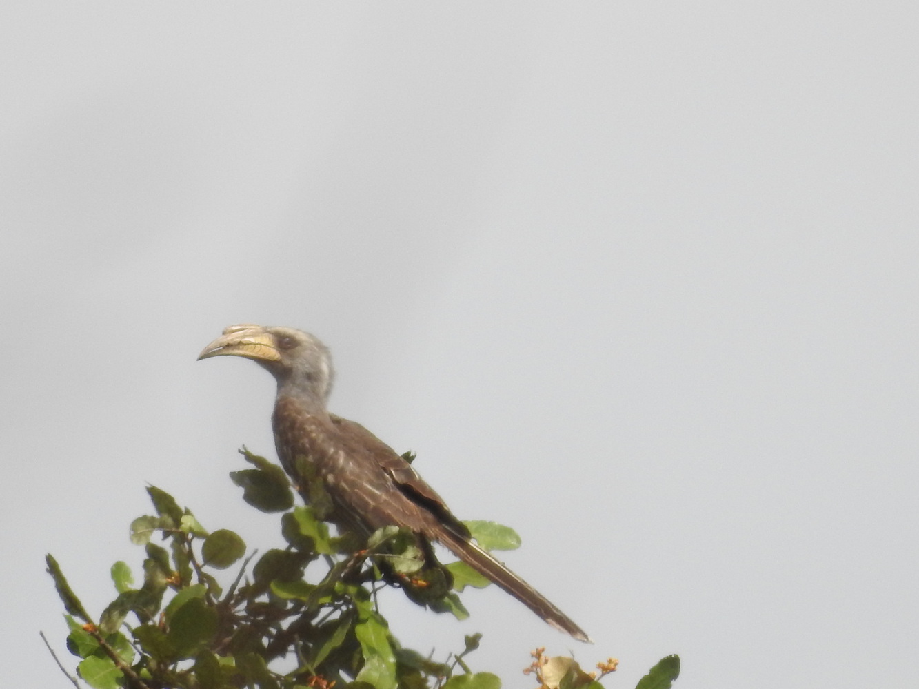
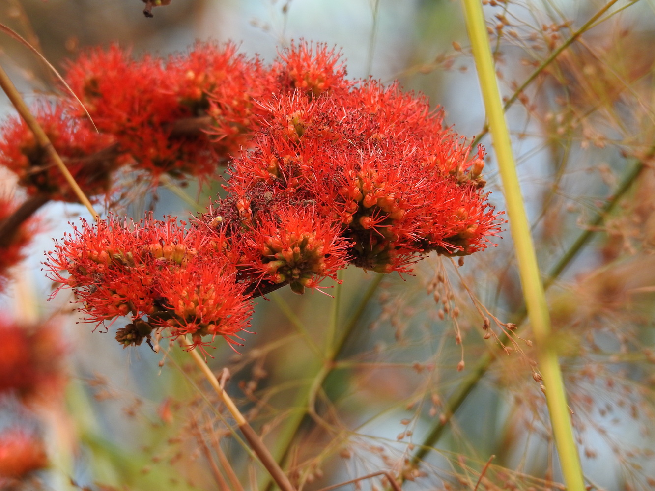
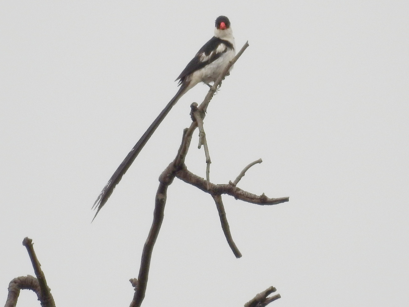
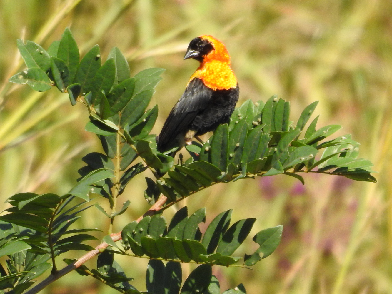
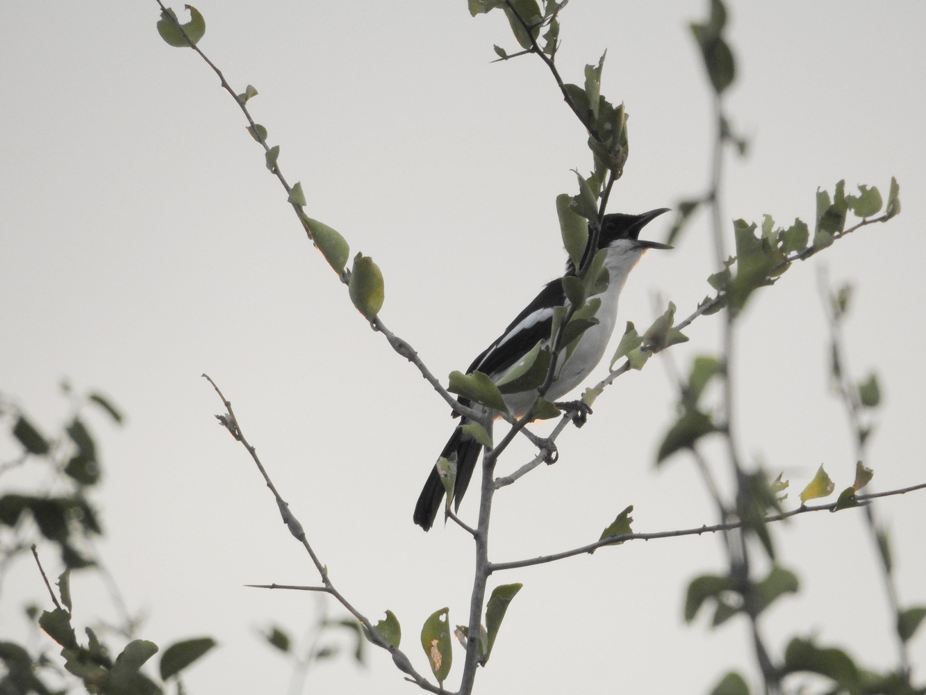
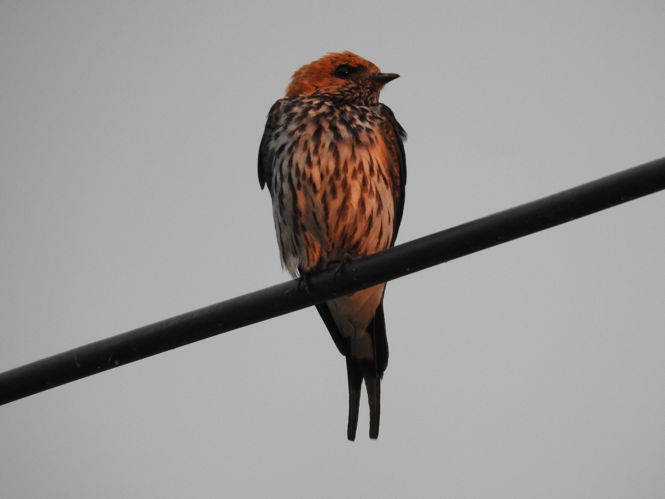
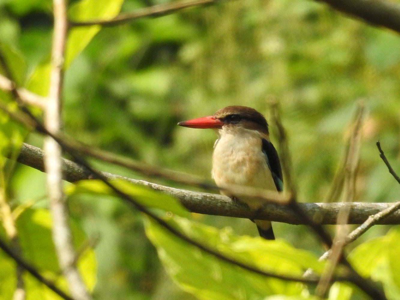
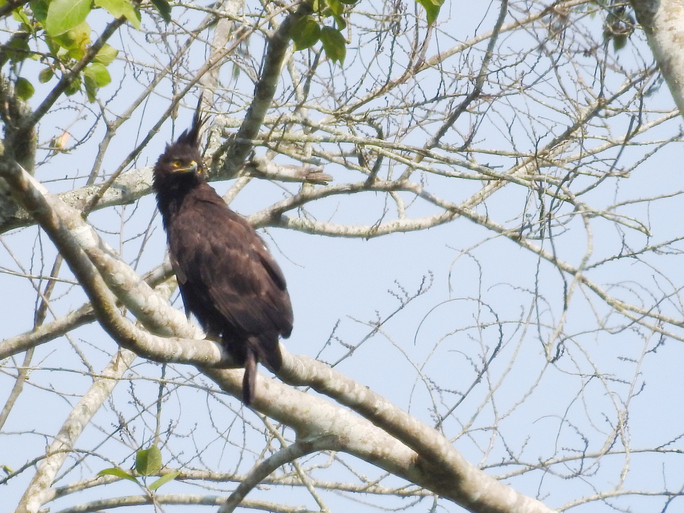
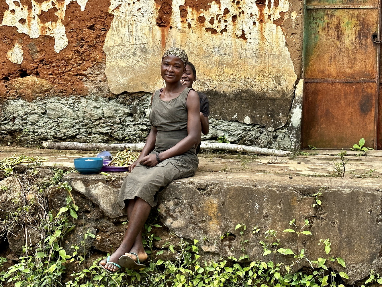
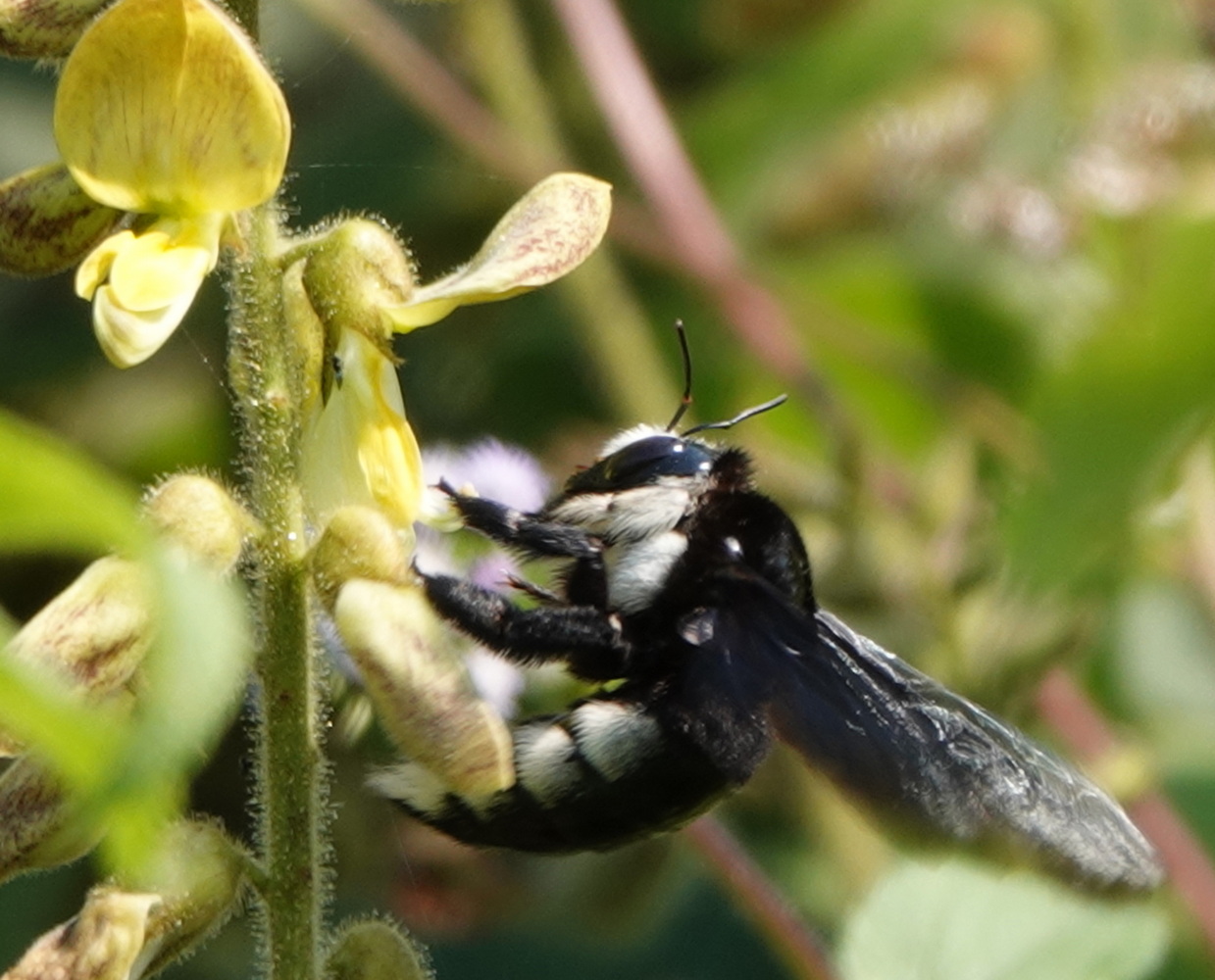
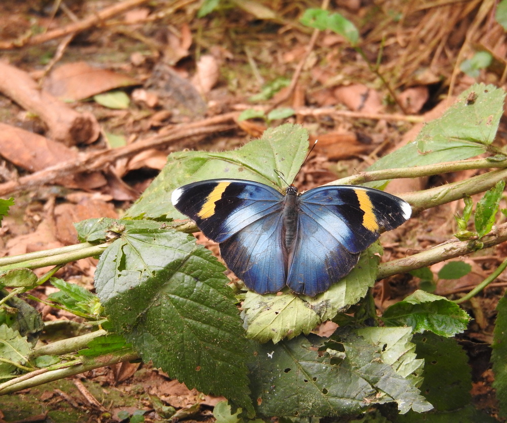
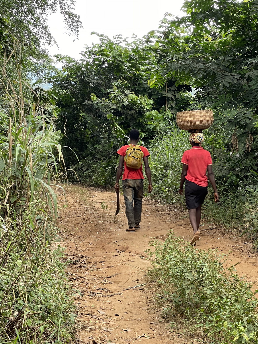
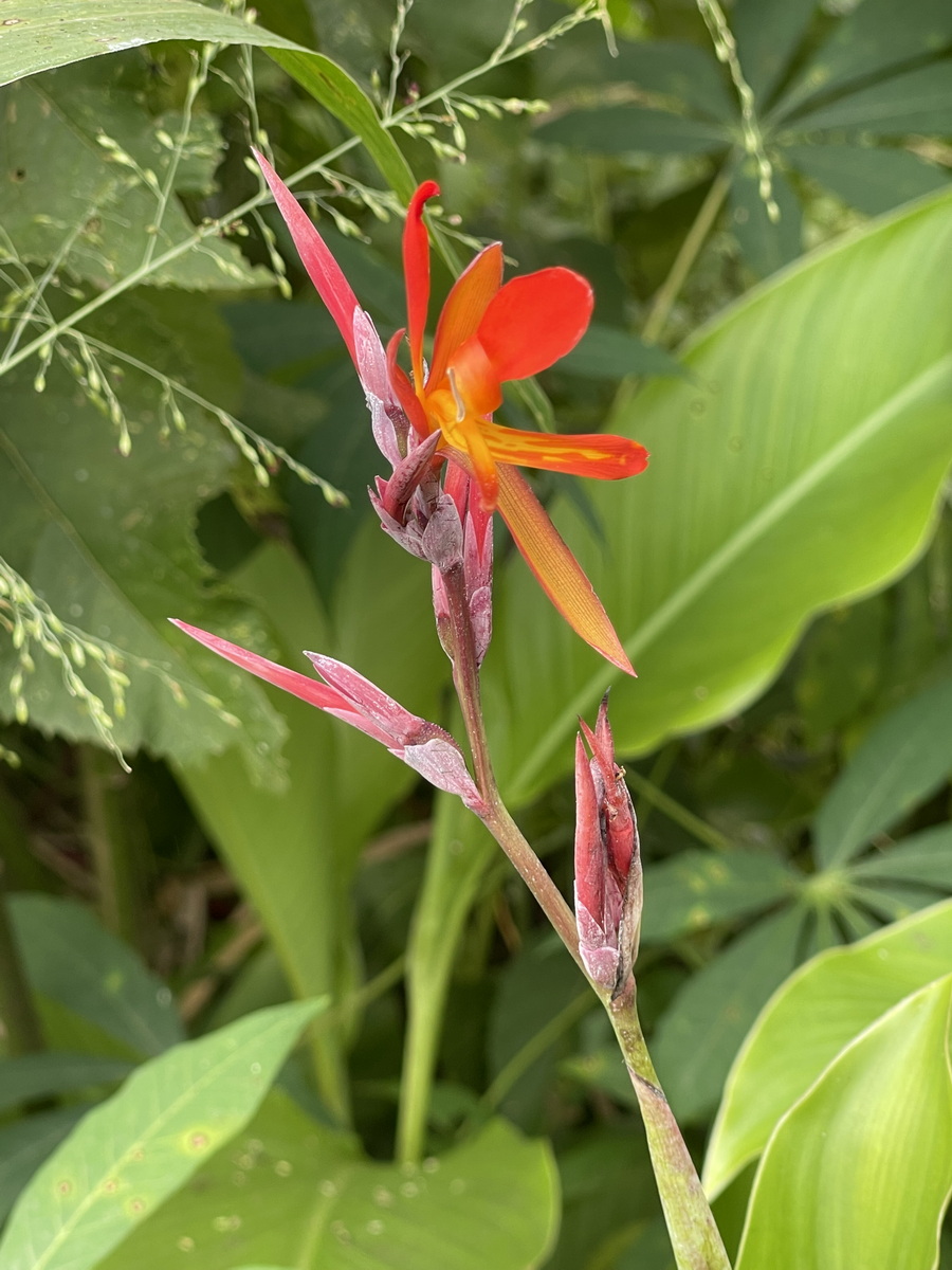
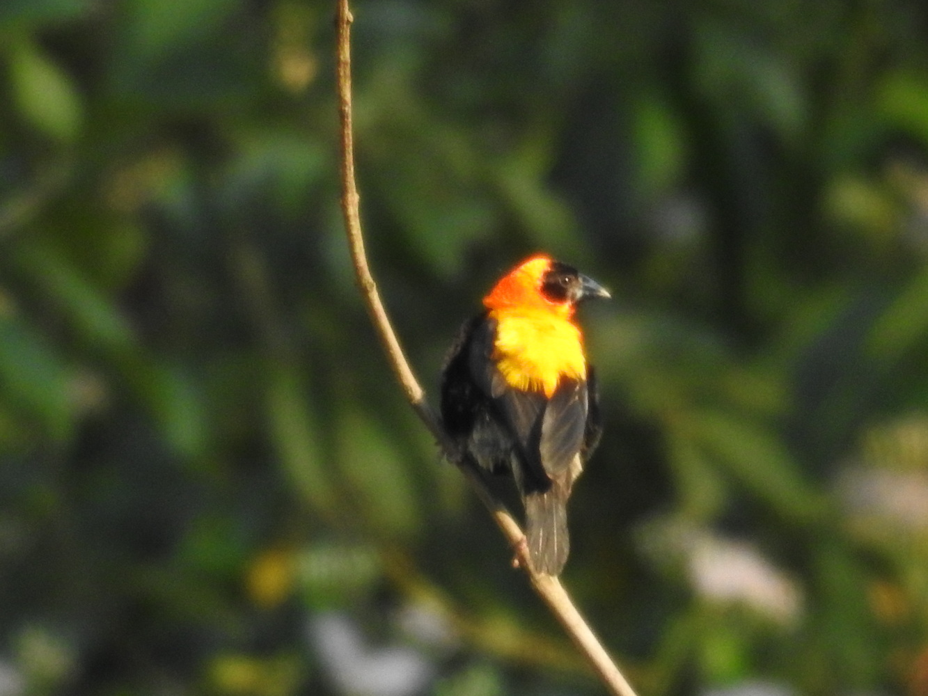
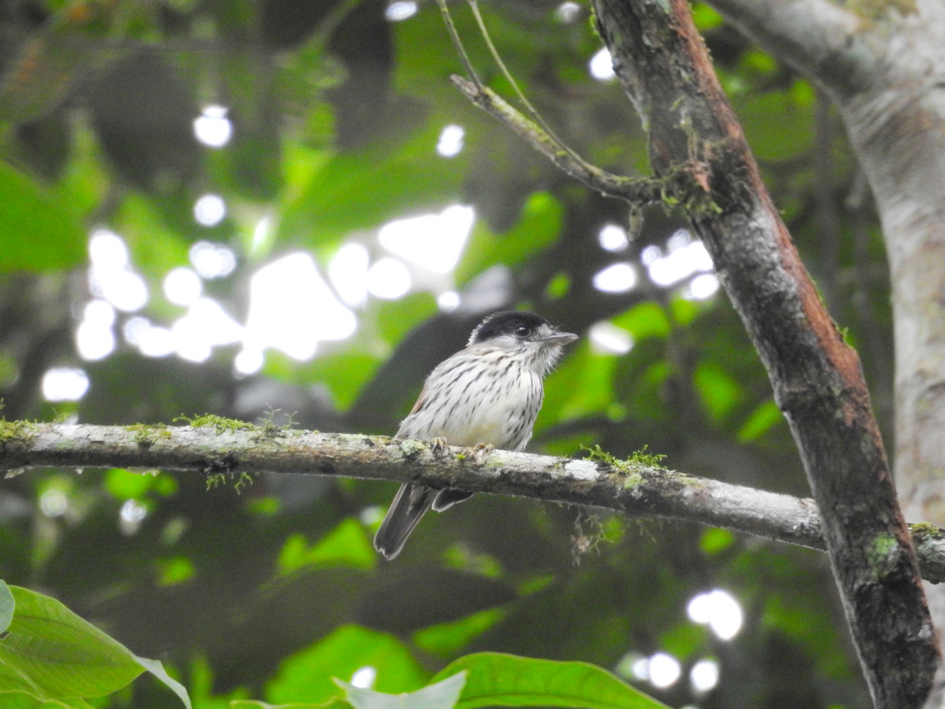
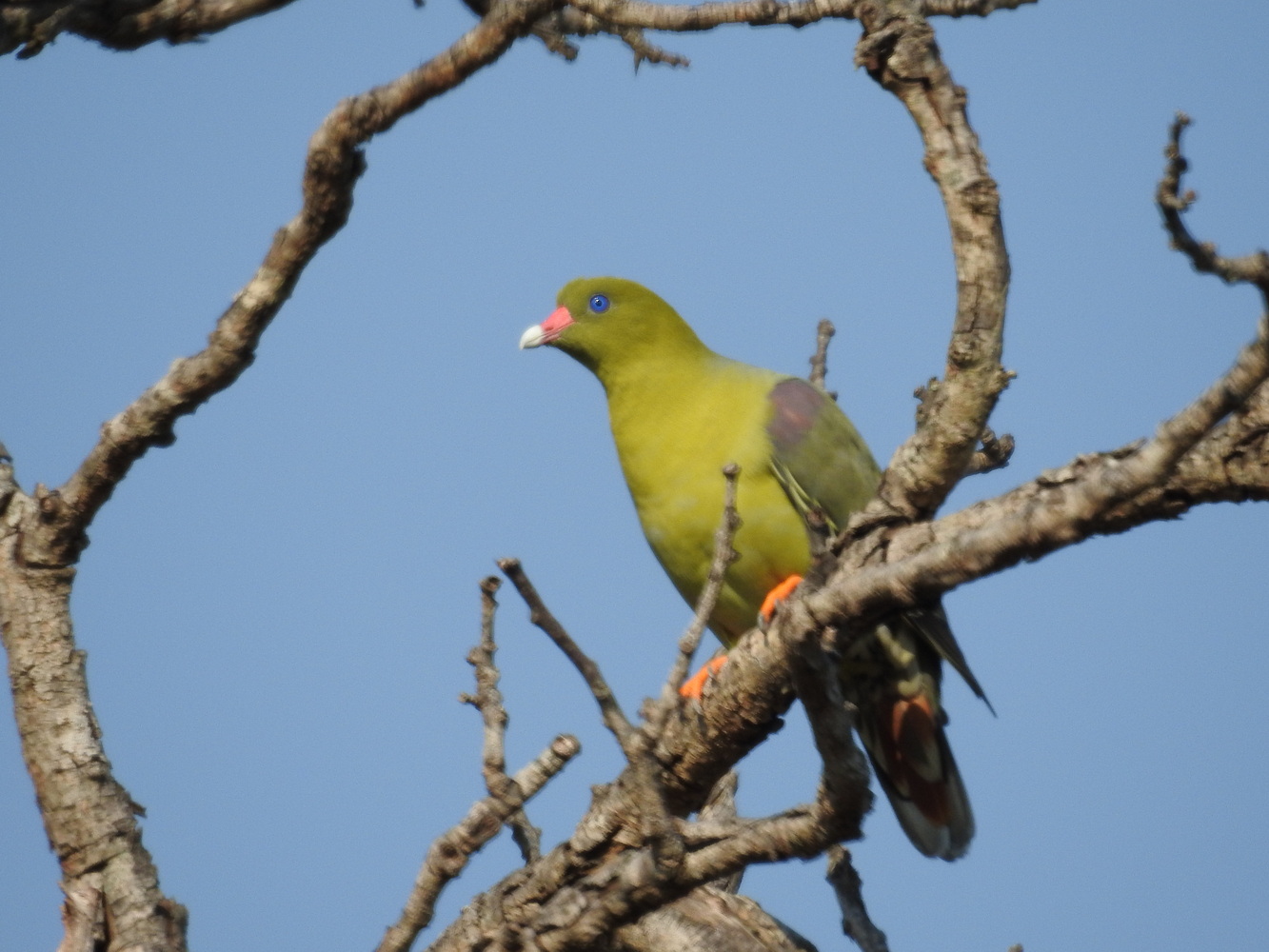
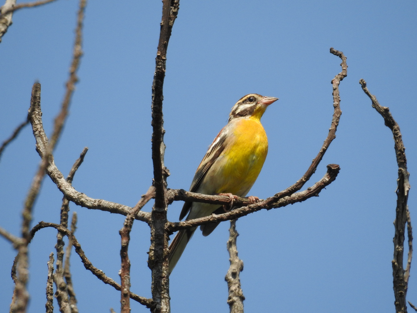
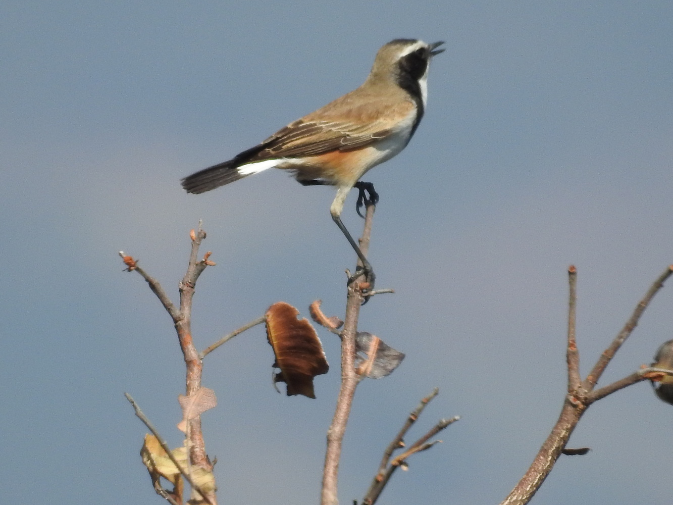
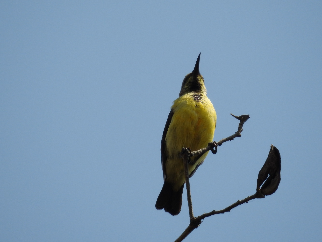
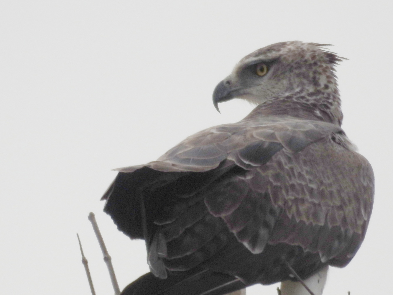
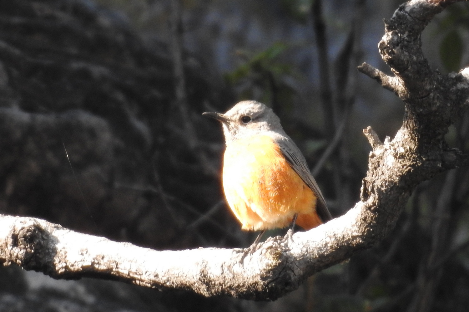
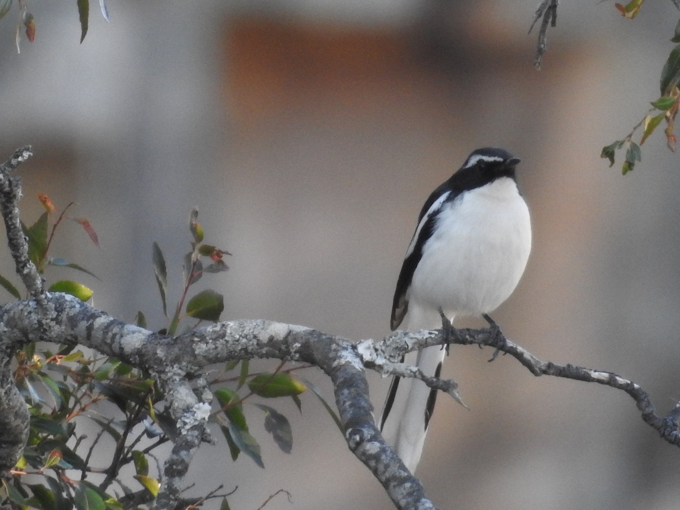
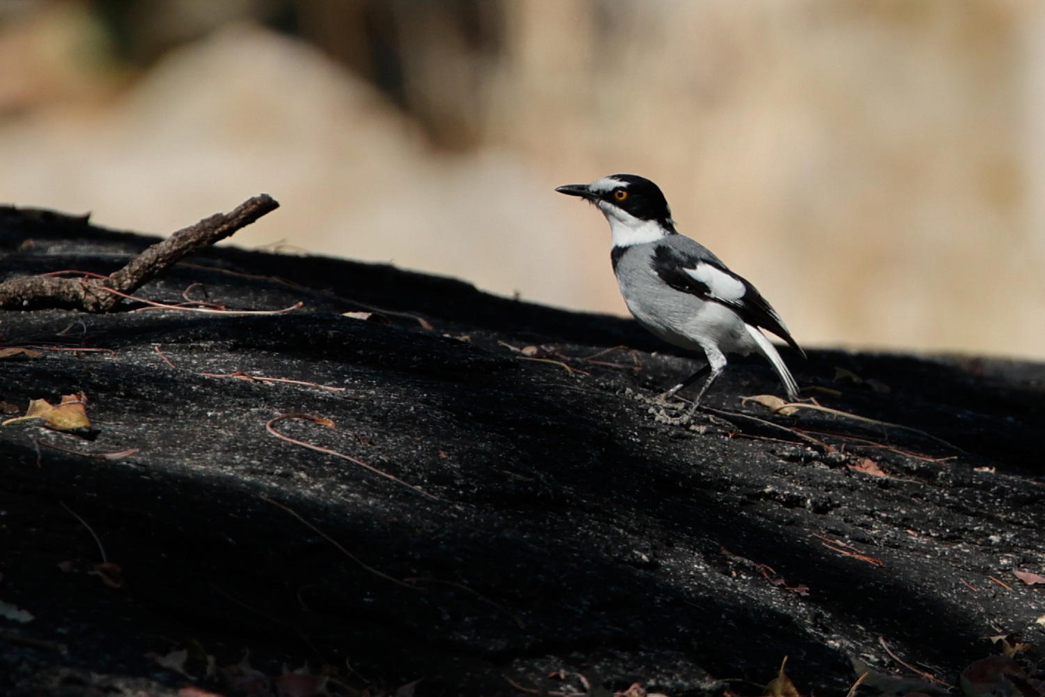
So why did we go? The ecology of west Africa’s rainforests is unique in the world and Angola is one of the few countries where it it safe to travel to see it. Angola is one of the most biodiverse countries in all of Africa. The birdlife, resulting from the geology and ecology, includes many species found only in west Africa. As population growth and climate change continue, these natural resources are under great pressure. So we chose to visit now, to experience and learn about the natural, cultural and social culture first-hand.
Our Trip Logistics
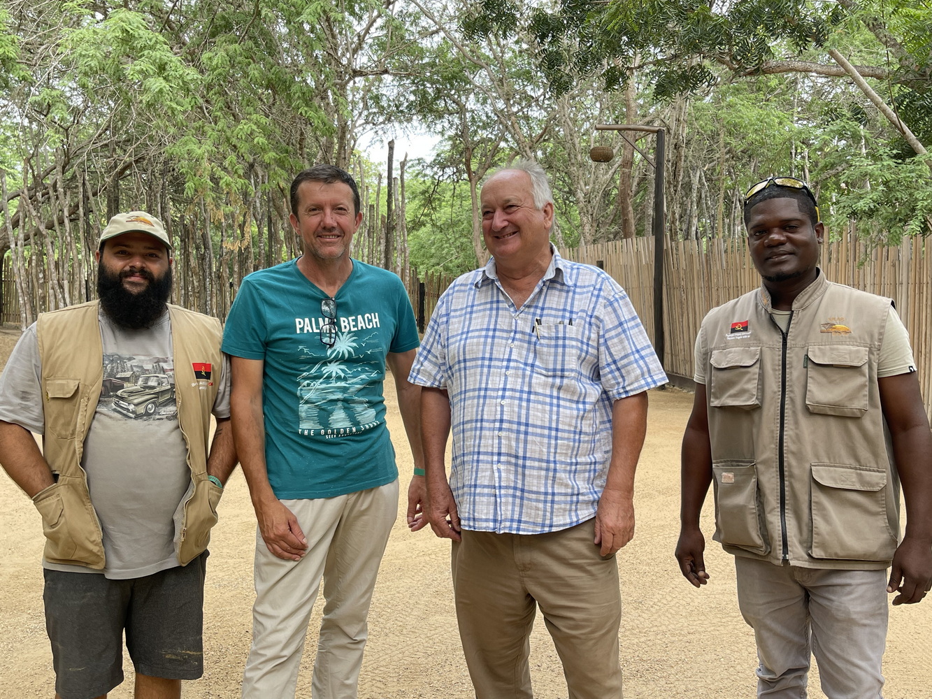
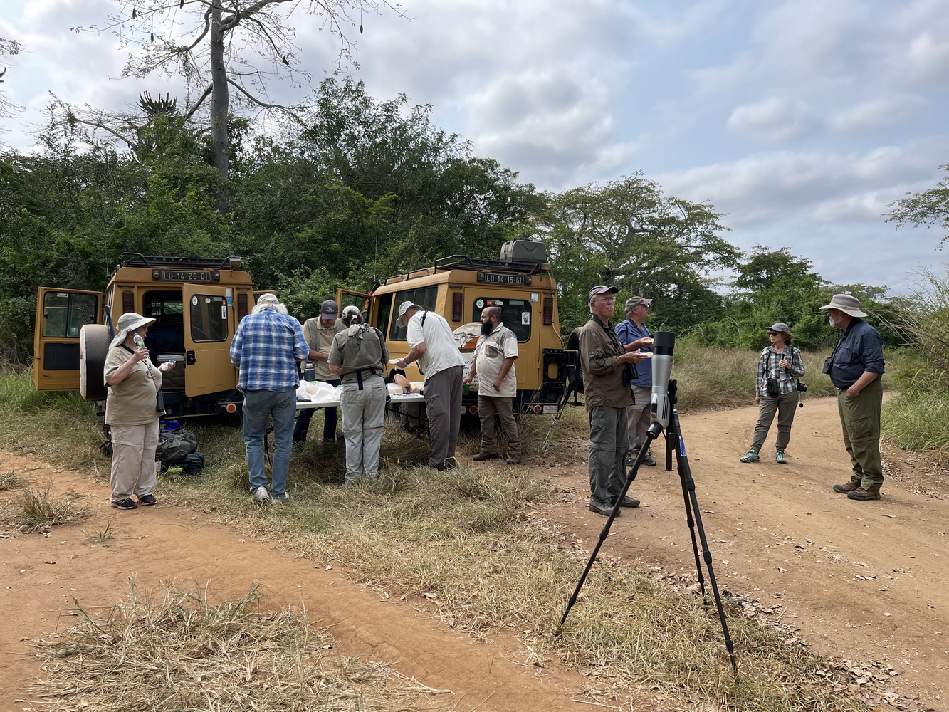
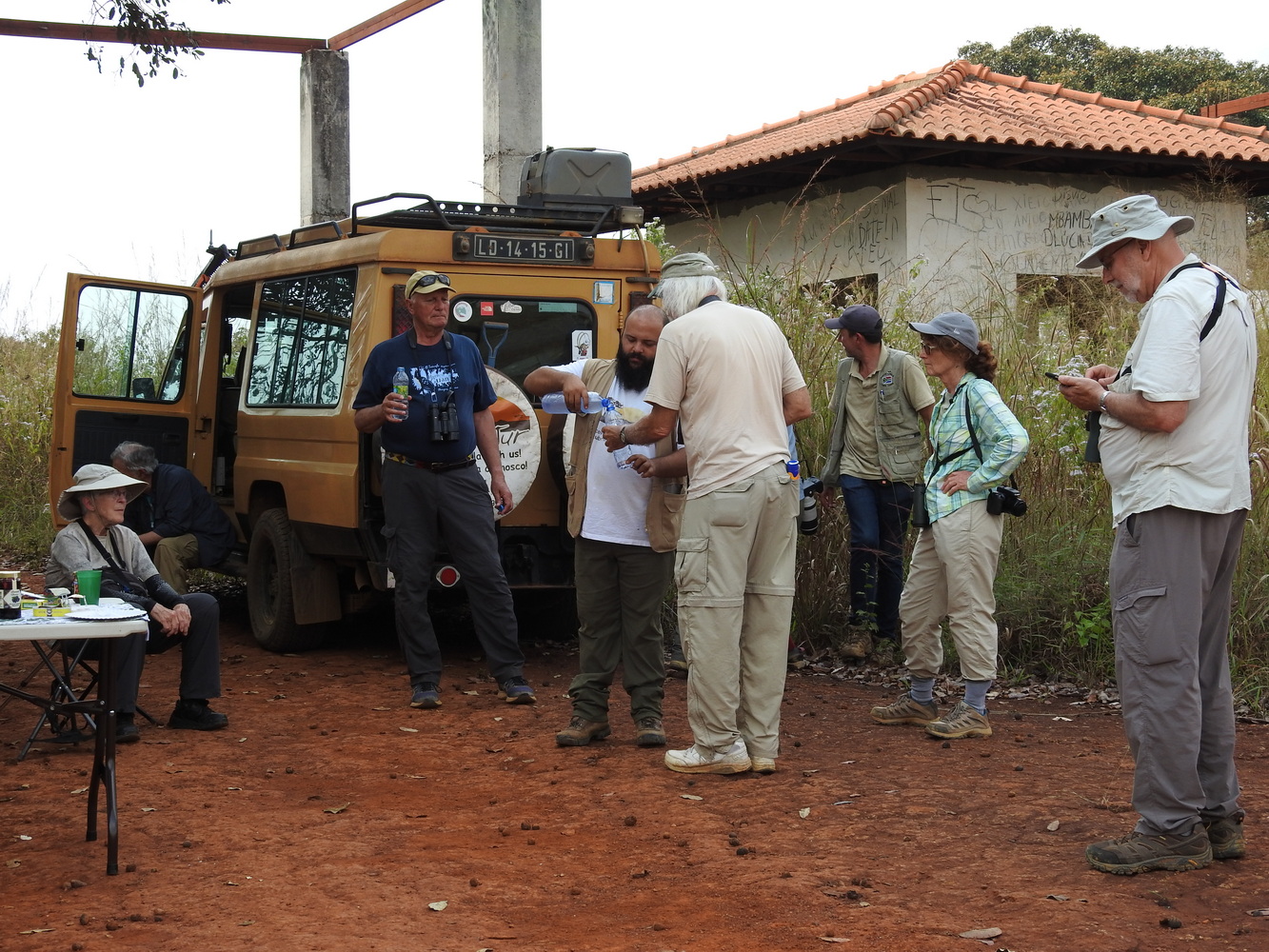
Our tour was with Field Guides, International, the company we travel with often. The lead guide Terry Stevenson is a long-time friend and Africa bird expert. It was great to travel with him again! Errol de Beer is South African; he was the “local” guide. Our first driver, Bruno Arroteia, was also an excellent guide to the country, nature and culture. The second driver, Kikas, focused mostly on driving and logistics.
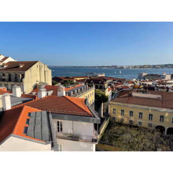
Even now, air arrangements go through Portugal. So we stopped over in Lisbon to and from Angola. The tour had 12 participants. Seven of them were people we’d traveled with before.
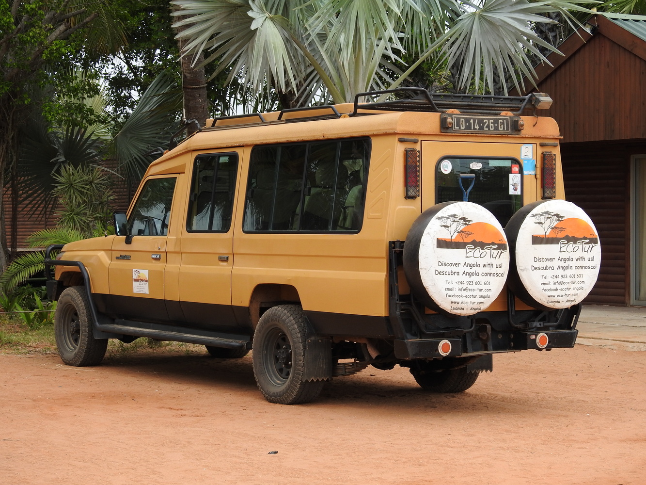
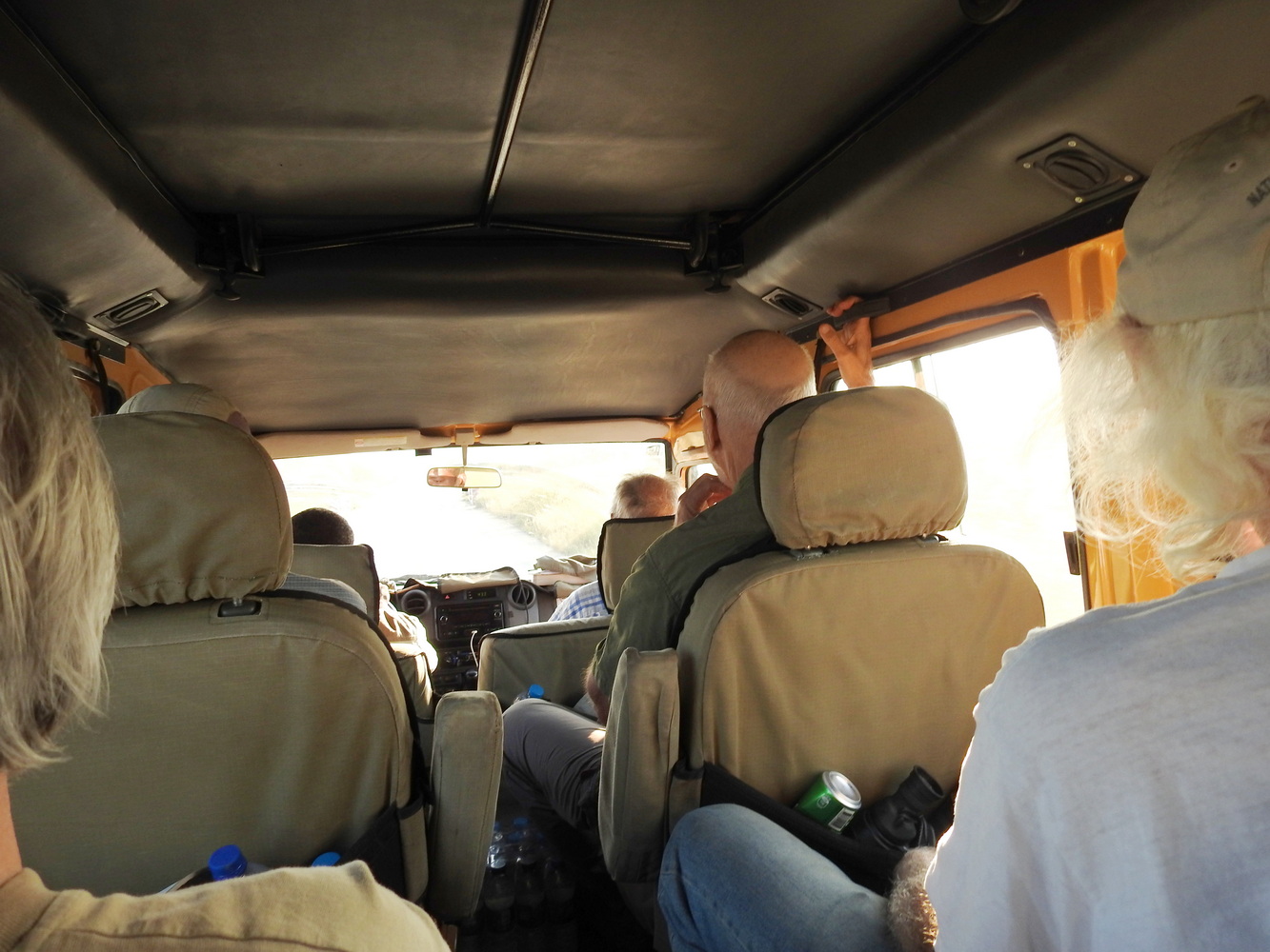
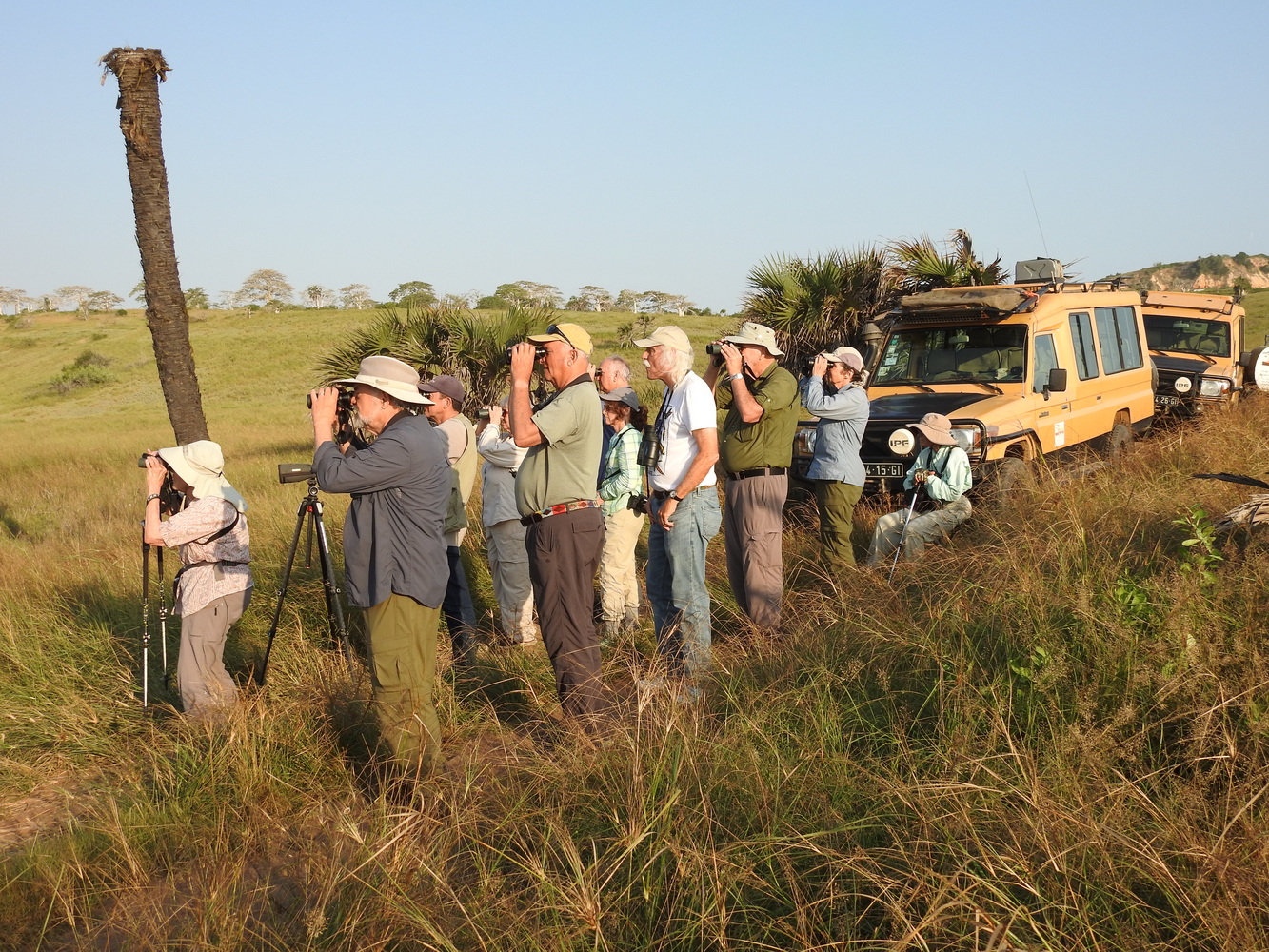
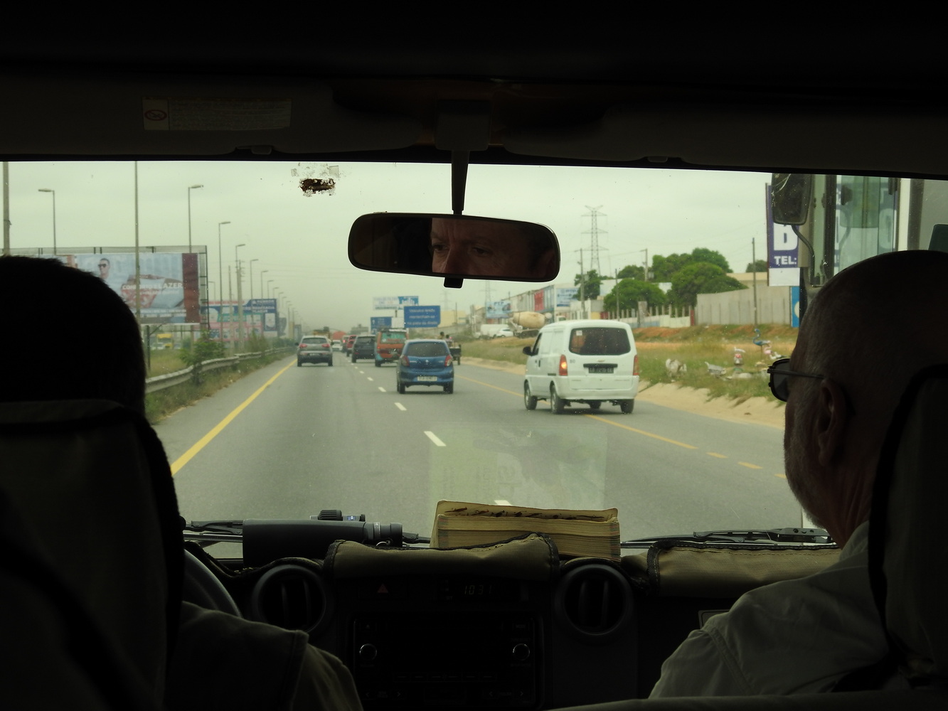
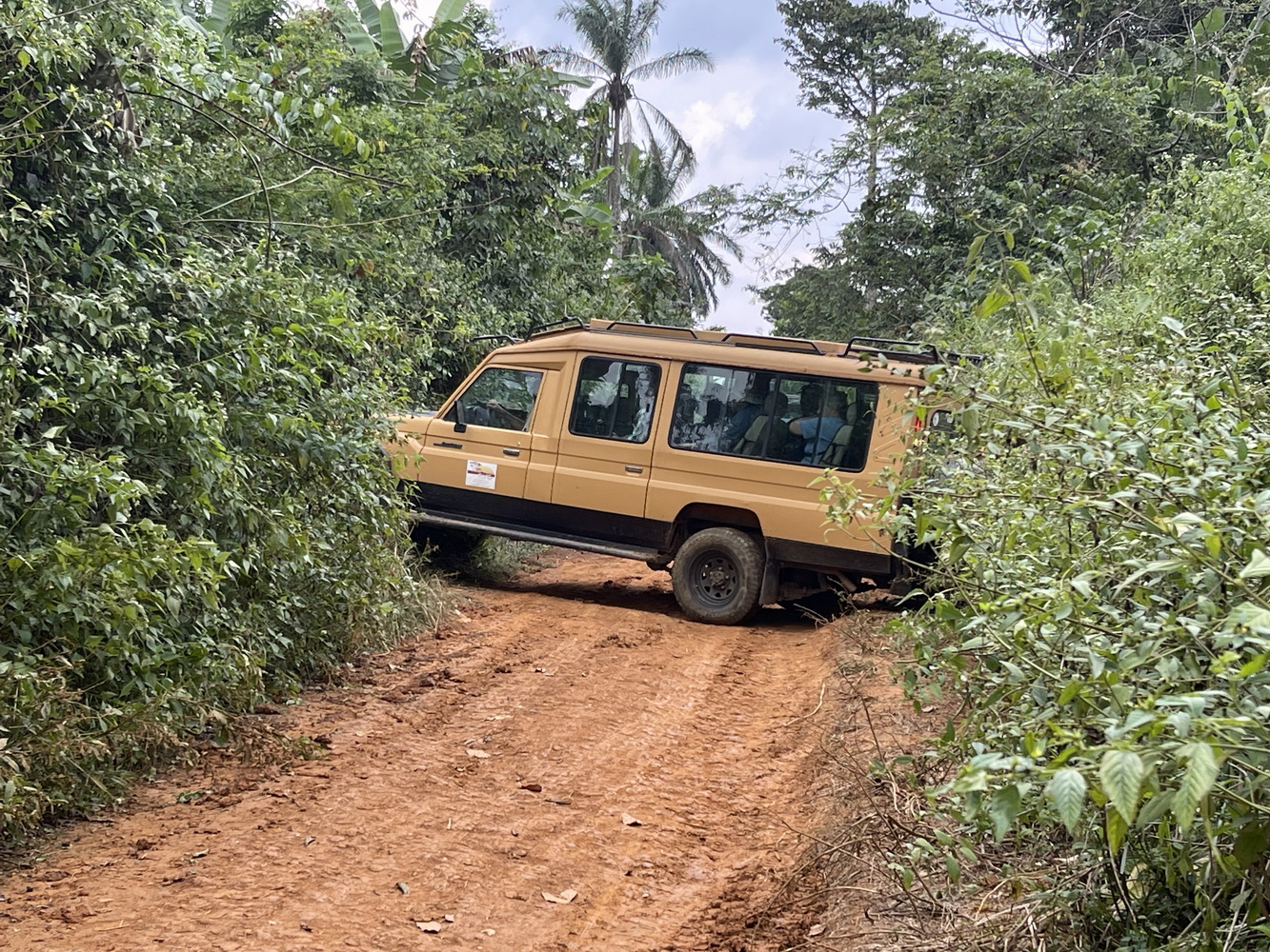
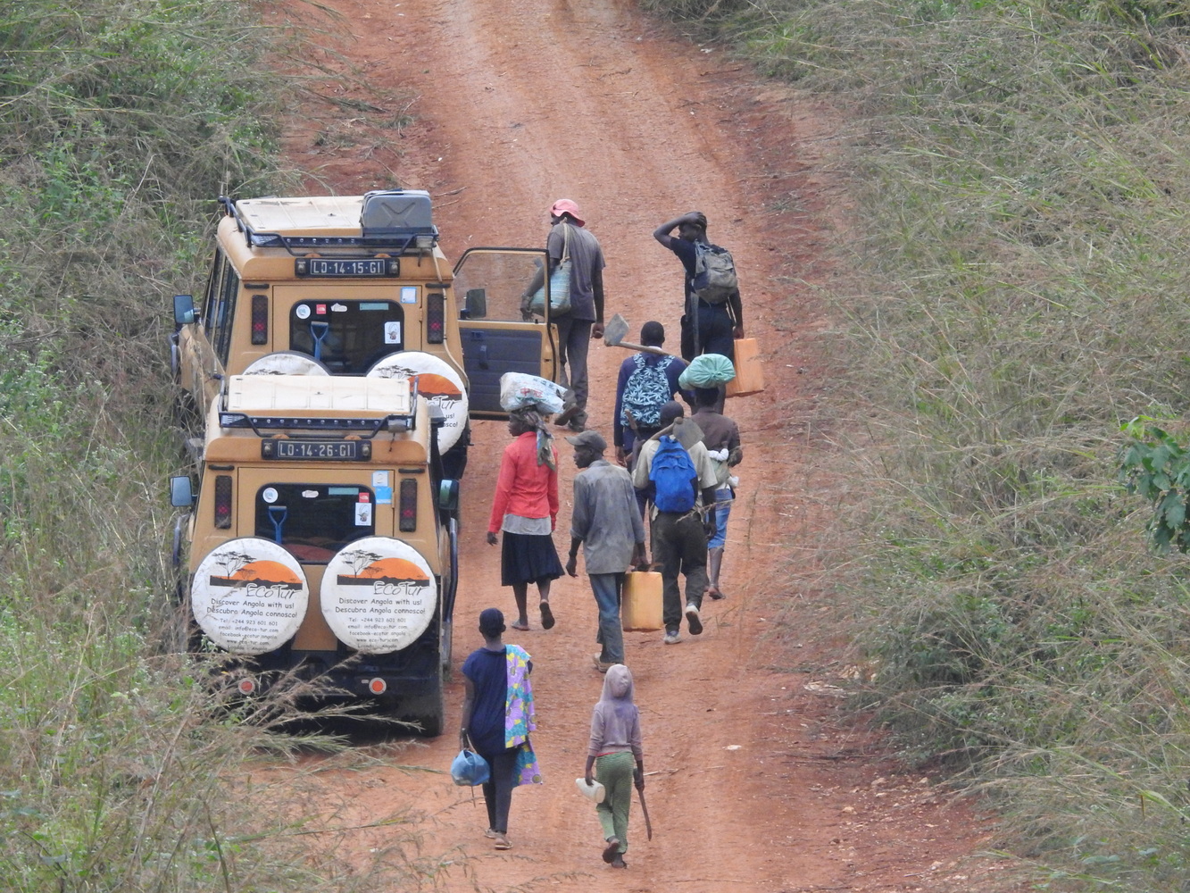
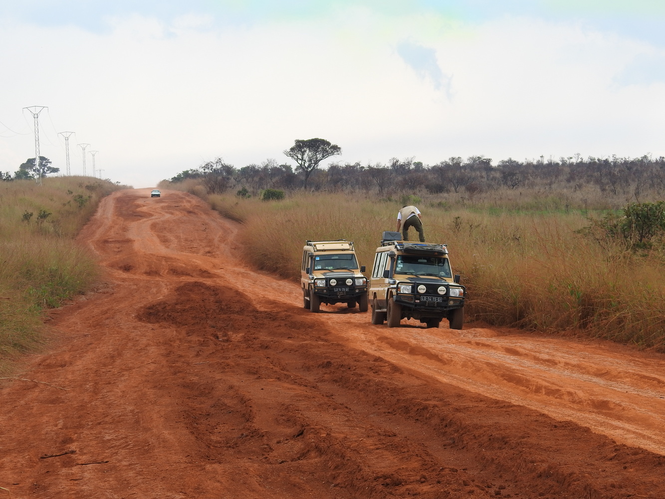
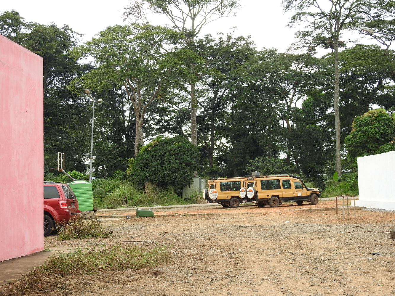
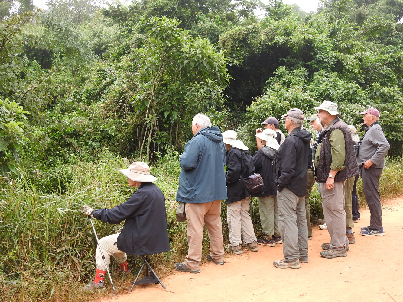
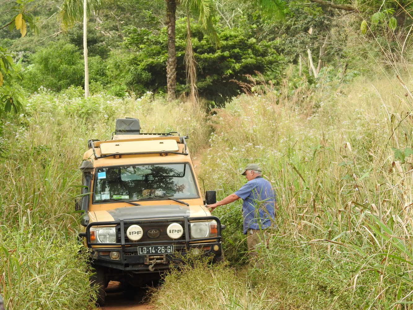
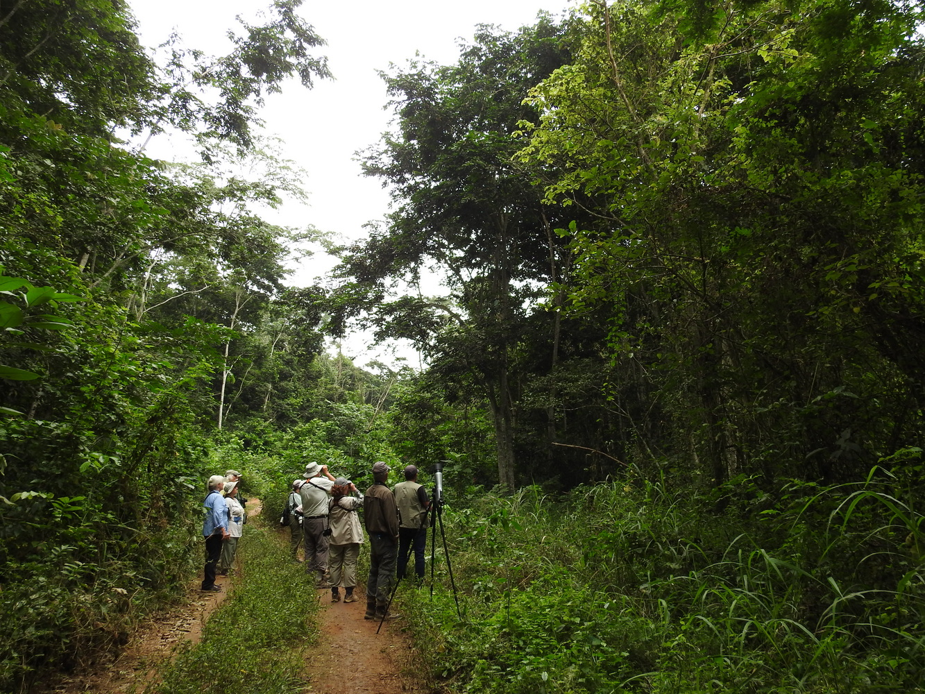
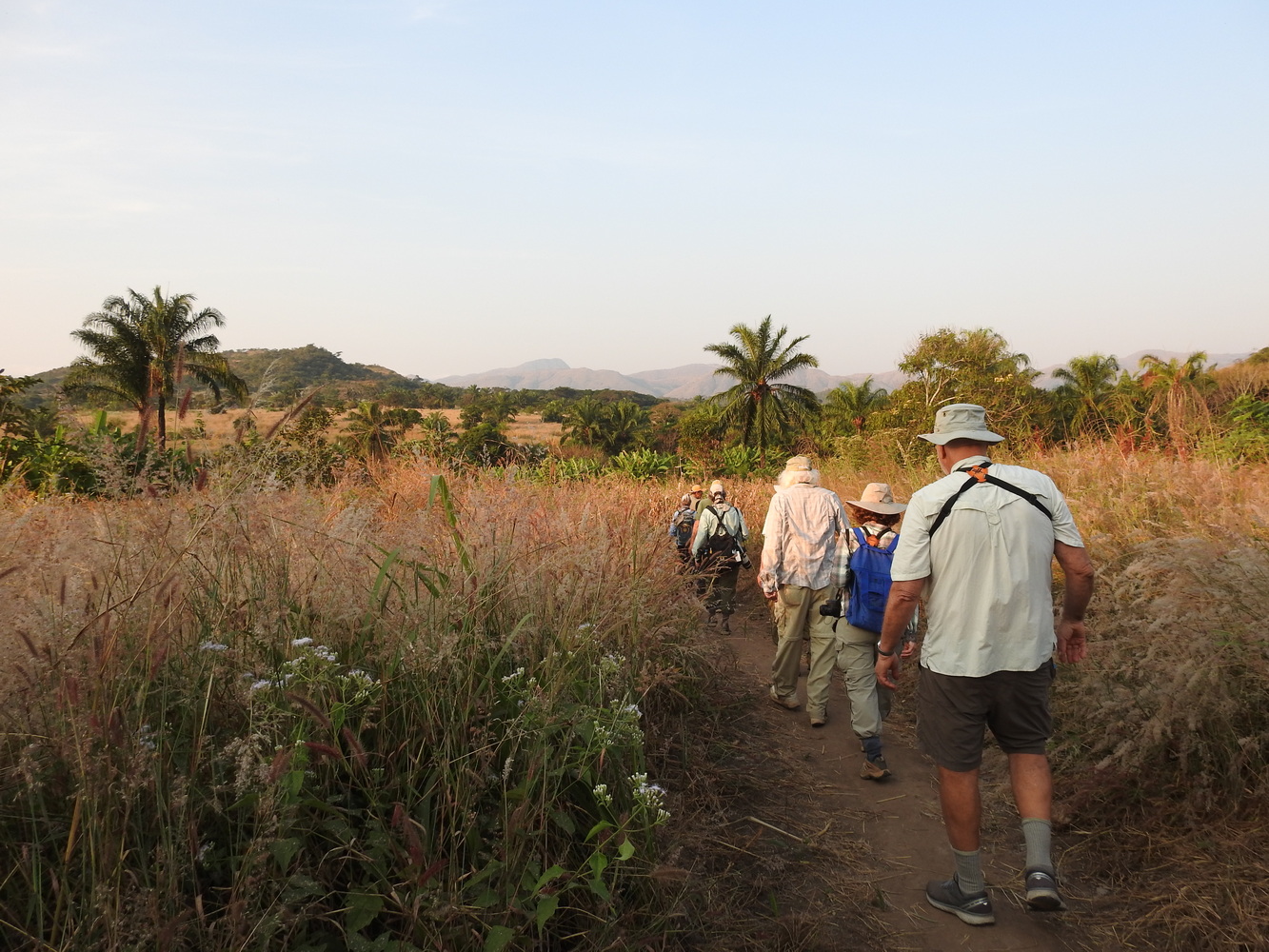
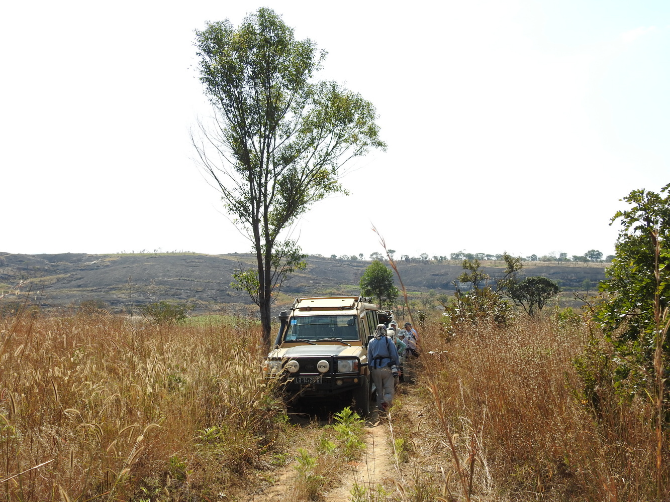
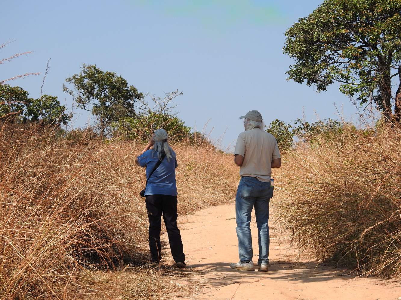
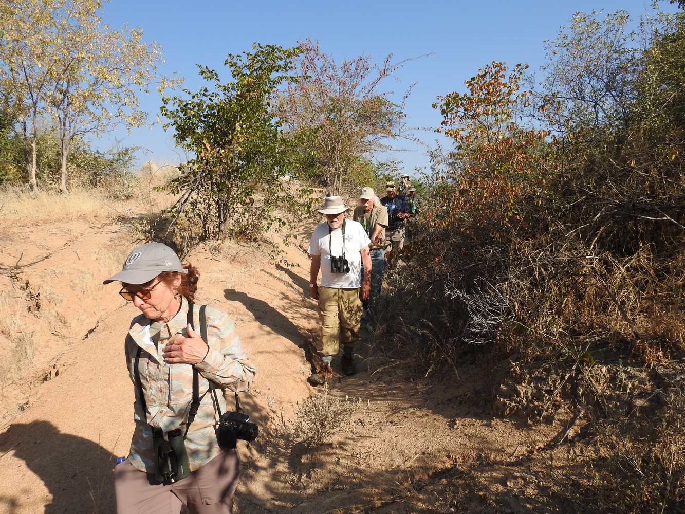
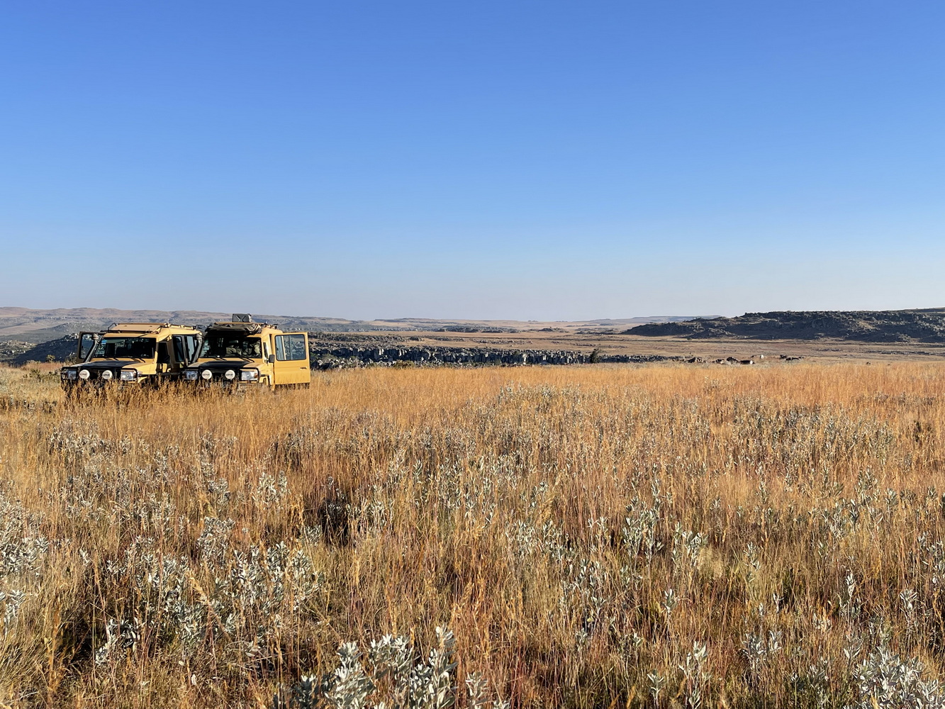
Throughout the trip, we traveled in two safari-style jeeps. Errol drove one. Terry traveled in the other one, which was driven by Bruno and then Kikas. Six participants rode in each vehicle; we took turns riding in the two cars. As you can see in the second photo, these are pretty tight quarters. Getting out quickly to see a rare bird can definitely be a challenge!
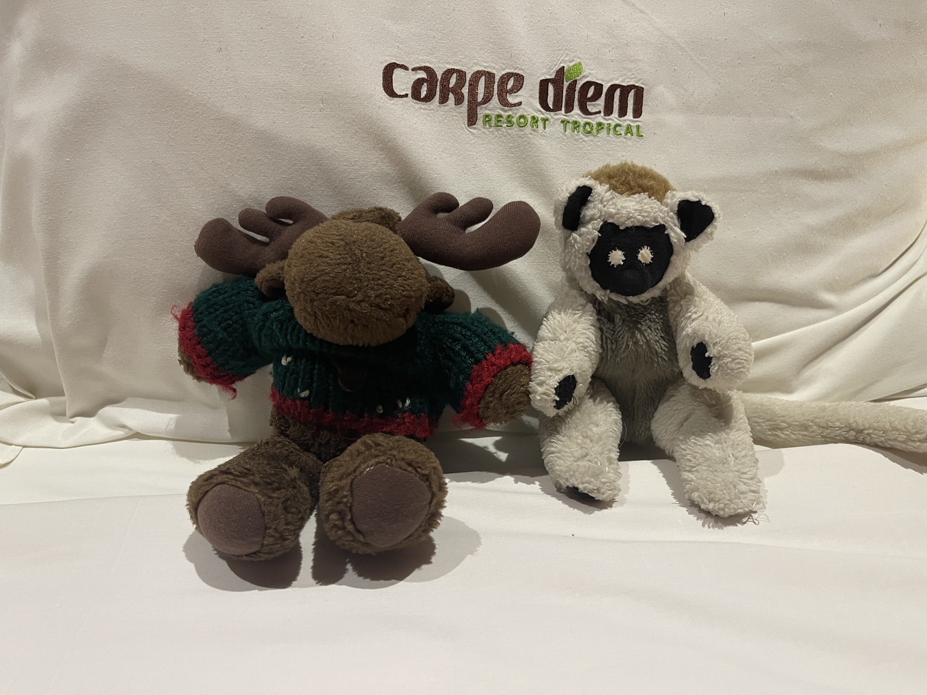
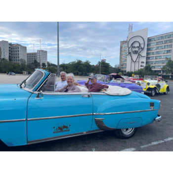
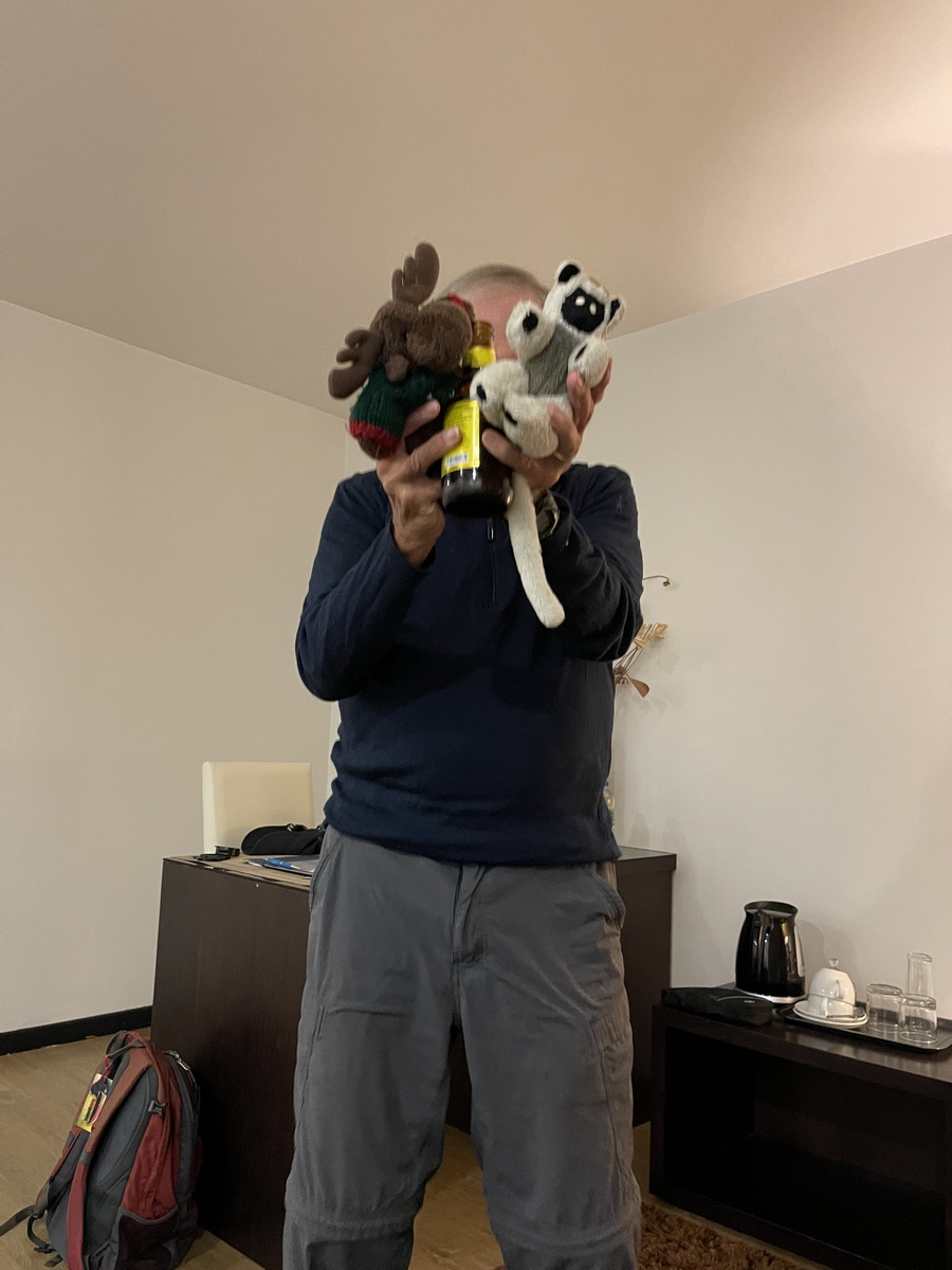
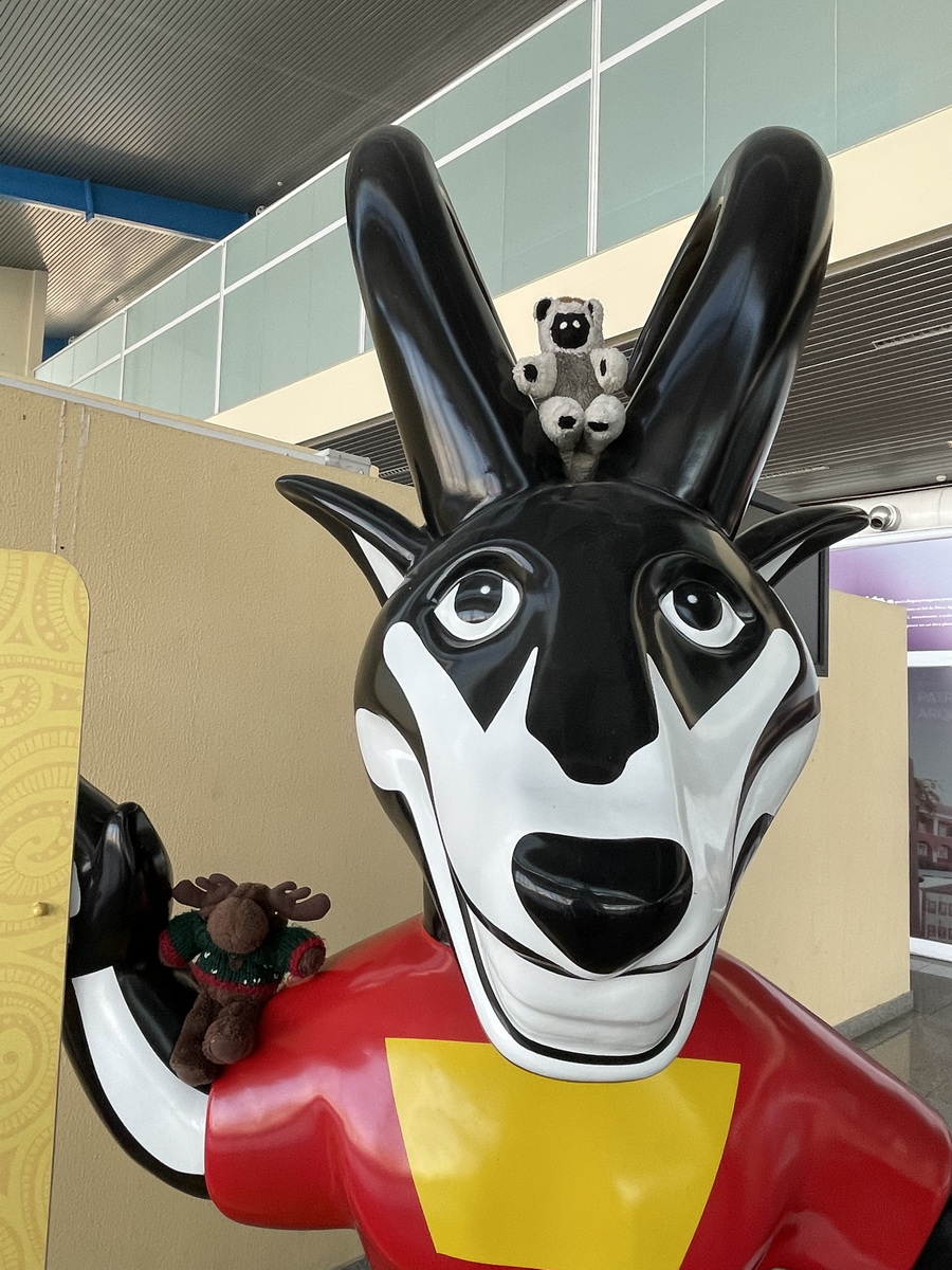
Our four regular traveling companions joined us again. But Ollie and Maggie decided to stay in Lisbon and swim in the Rio Tegus. So just Joe (the moose) and Amanda (the lemur) were with us for Angola.
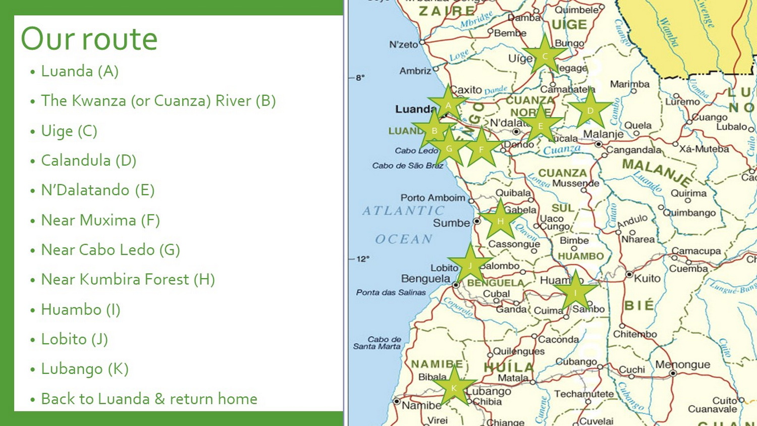
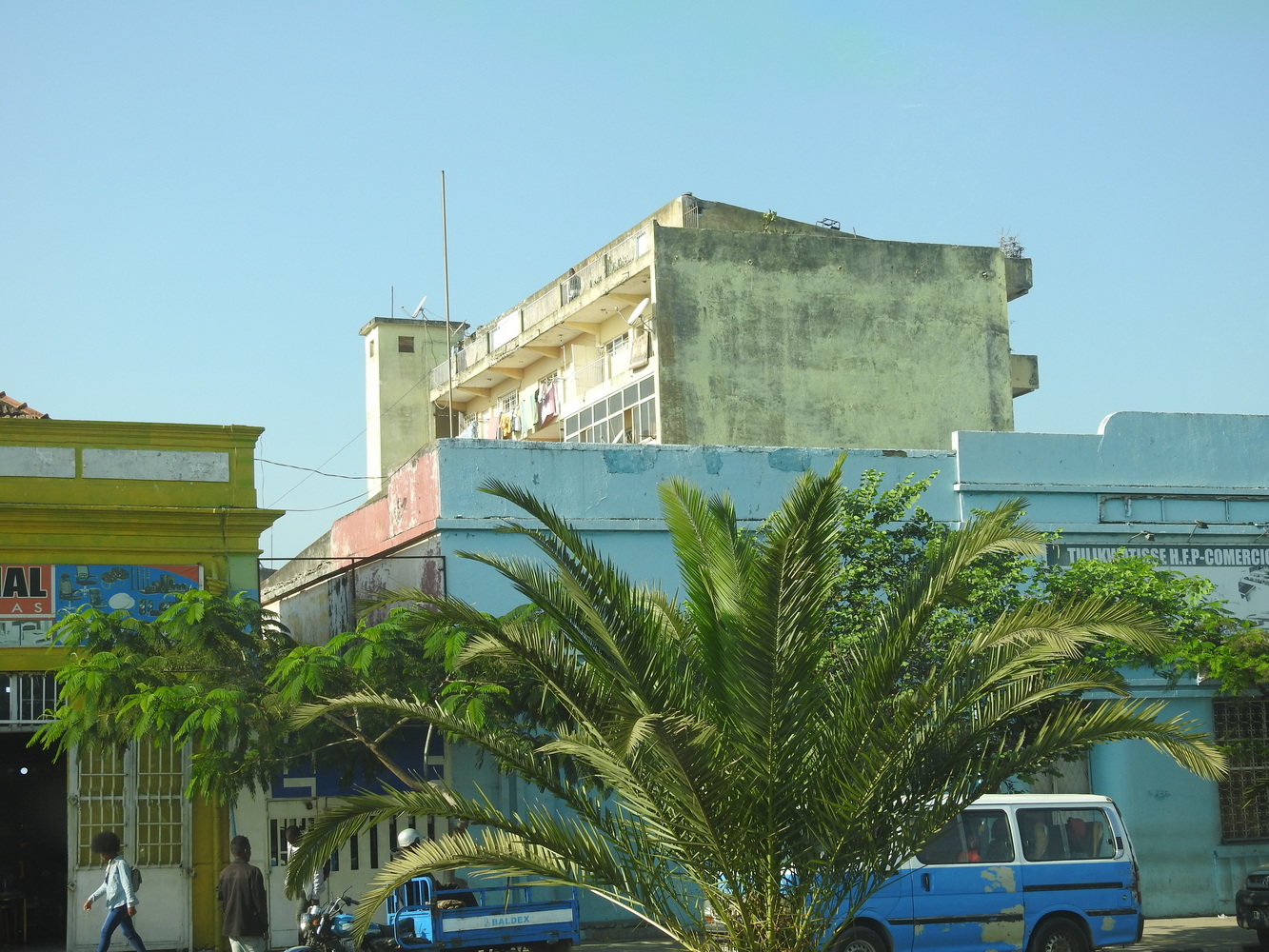
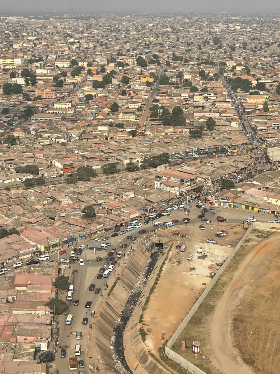
The map and list above show the route we took on this trip, which was about 3 weeks long. We flew in and out of Luanda, the capital and by far the largest city in the country (the region has about 9.2 million residents, about a quarter of all Angolans.
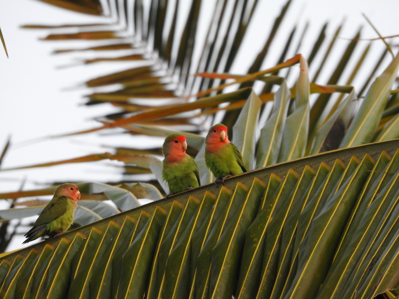
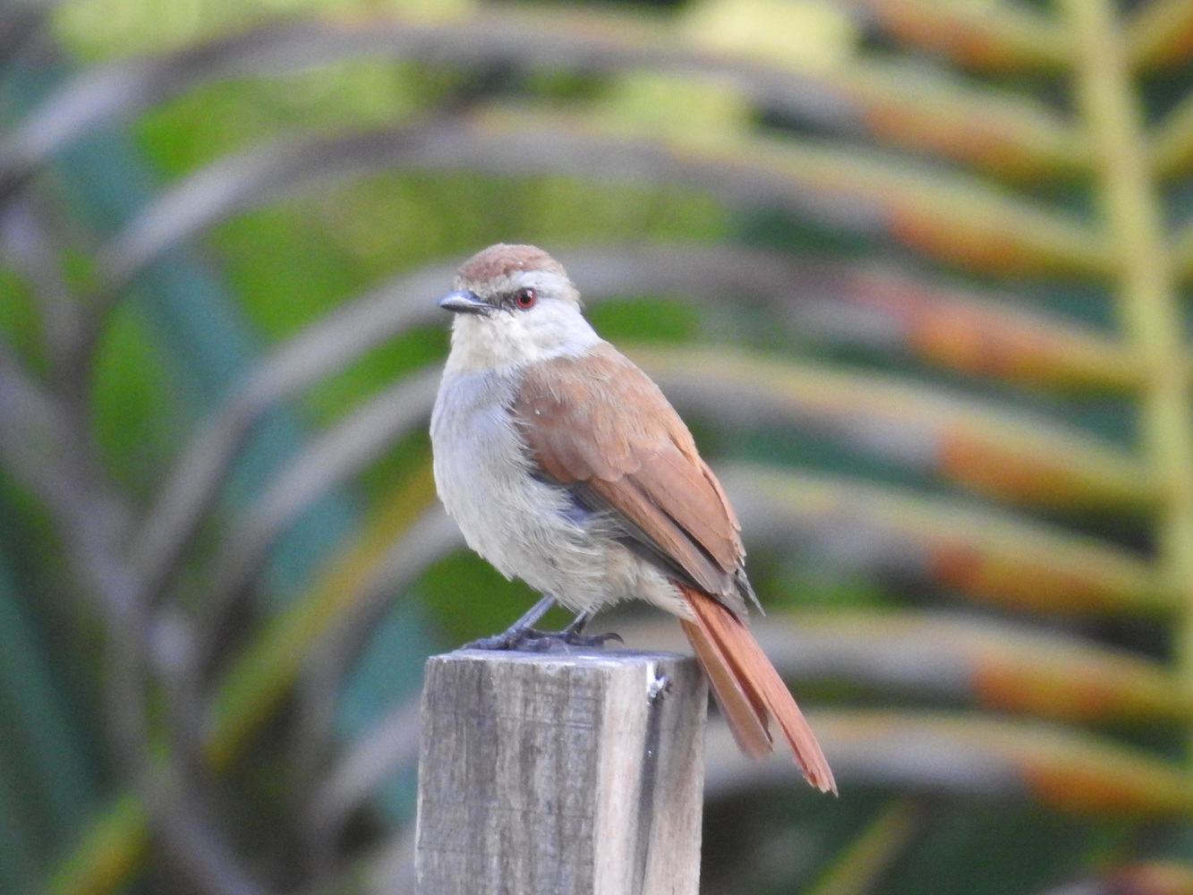
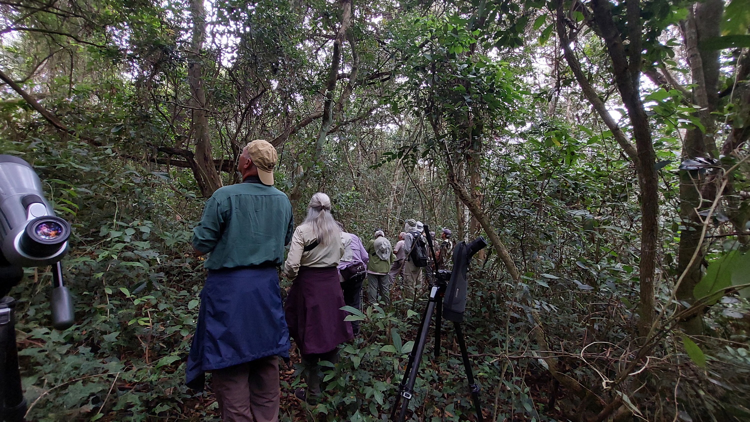
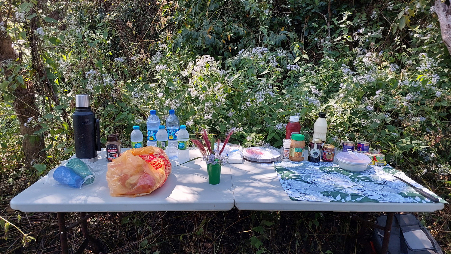
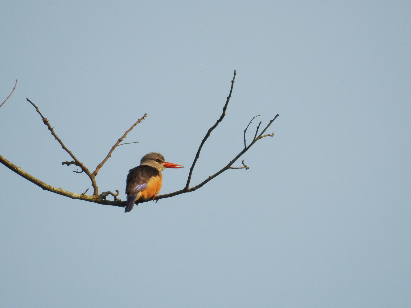
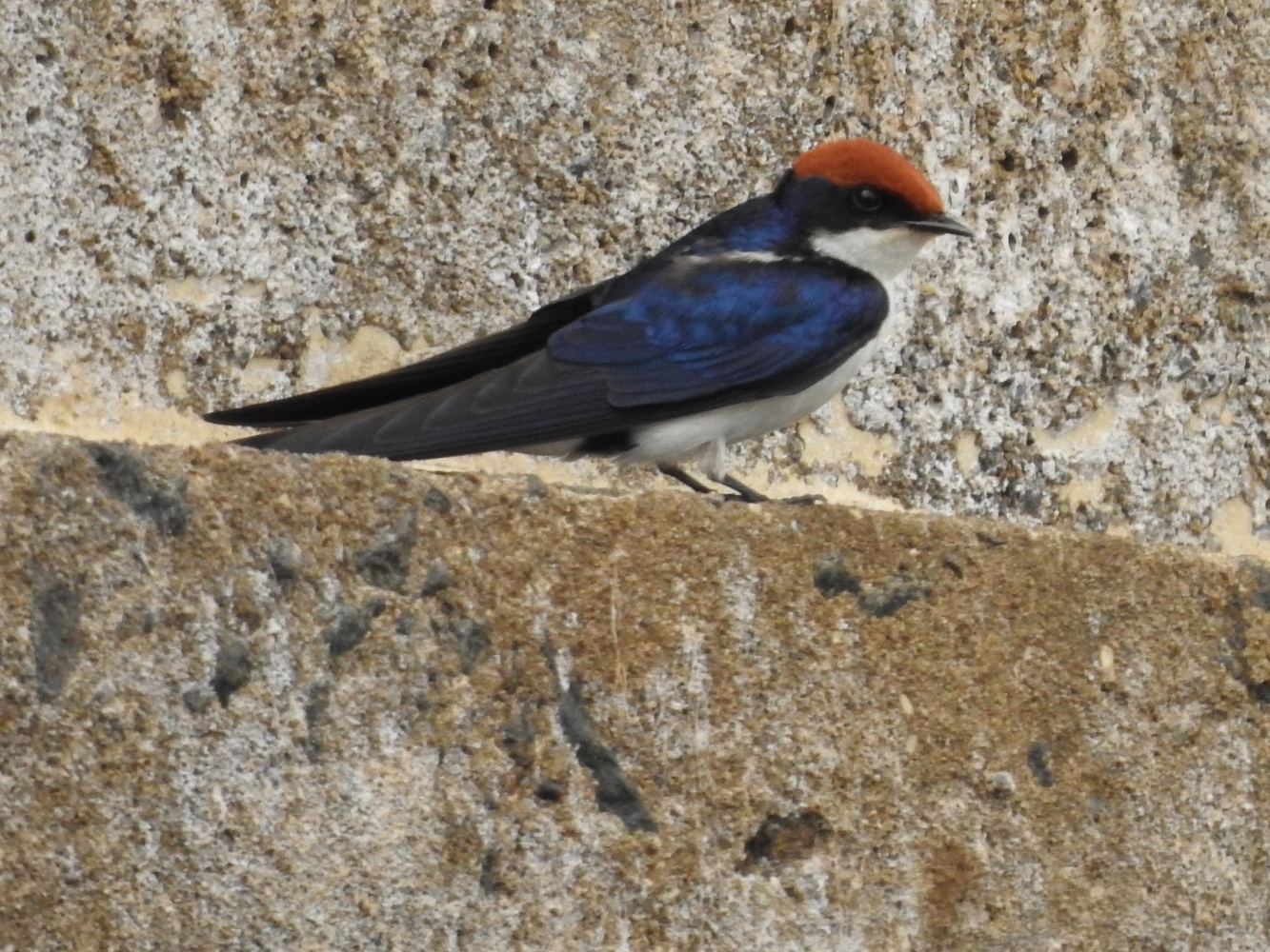
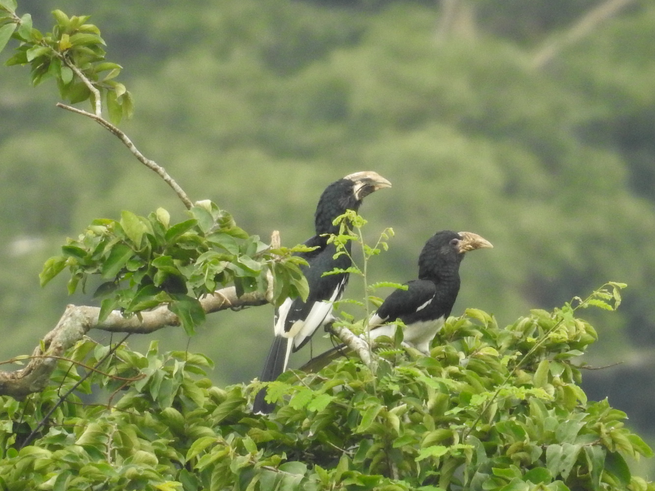
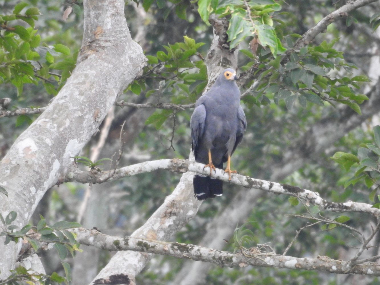
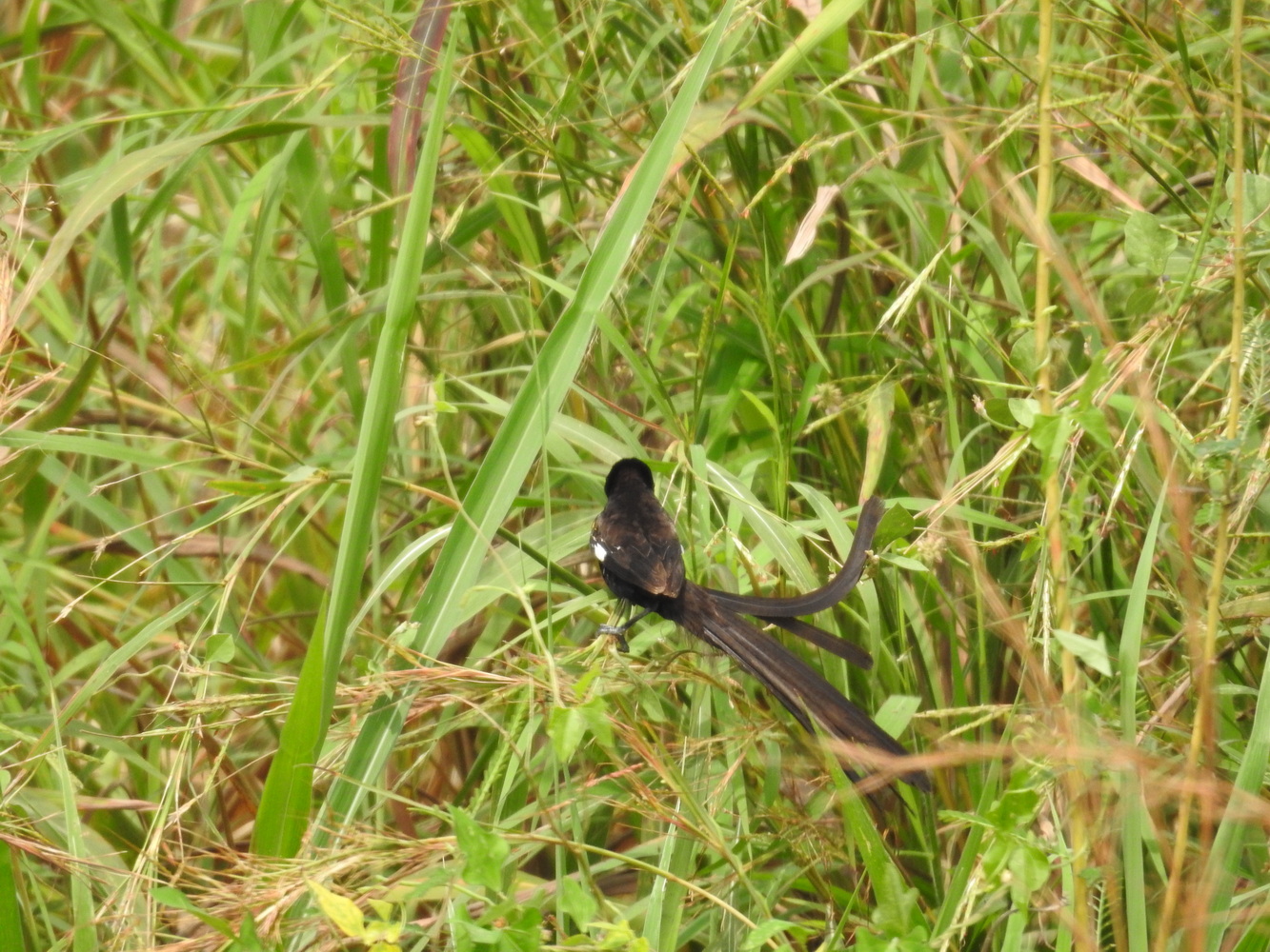
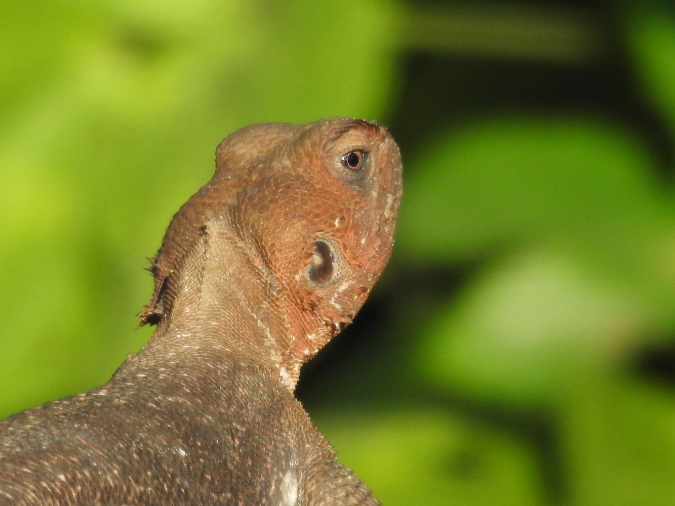
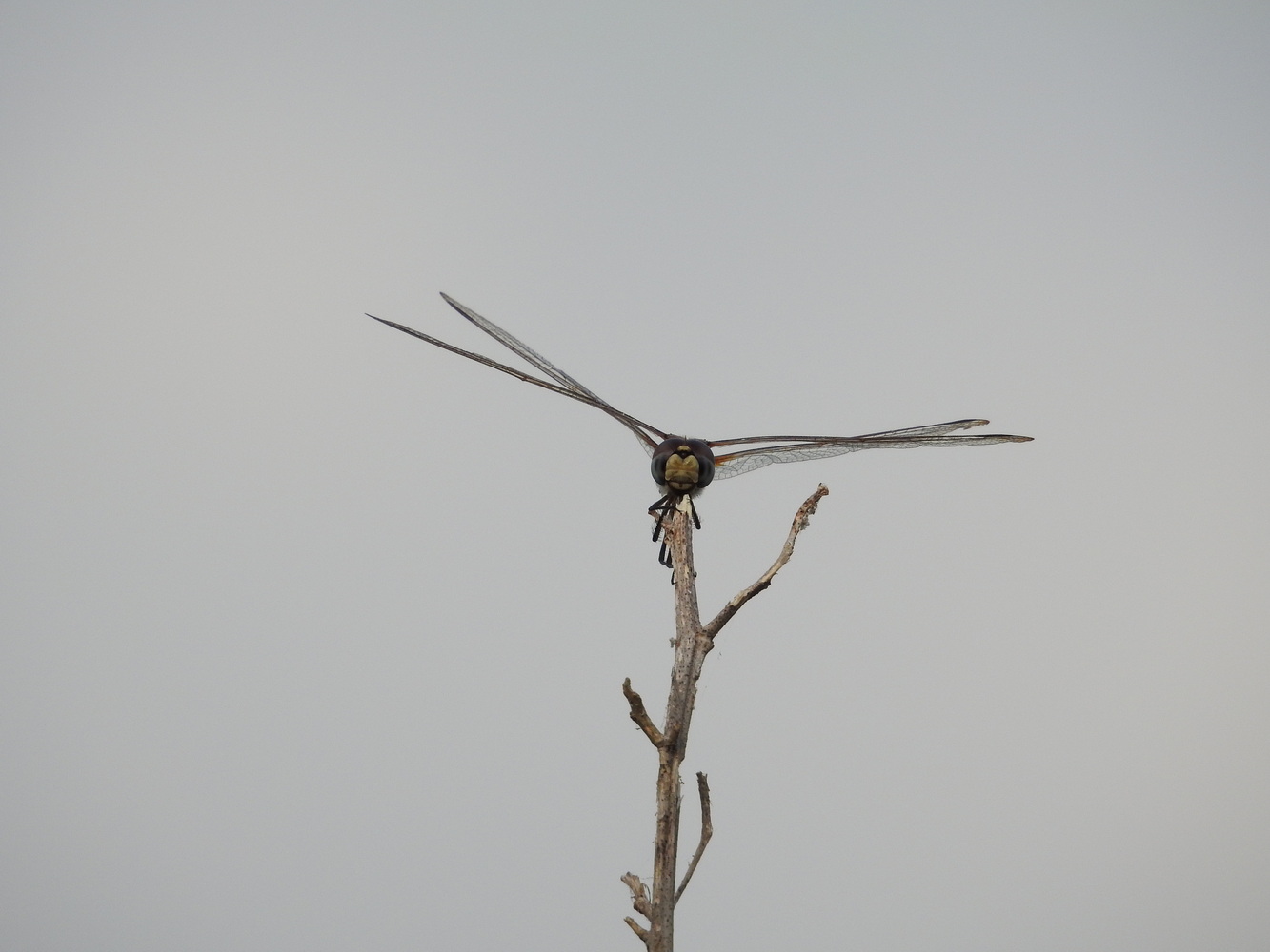
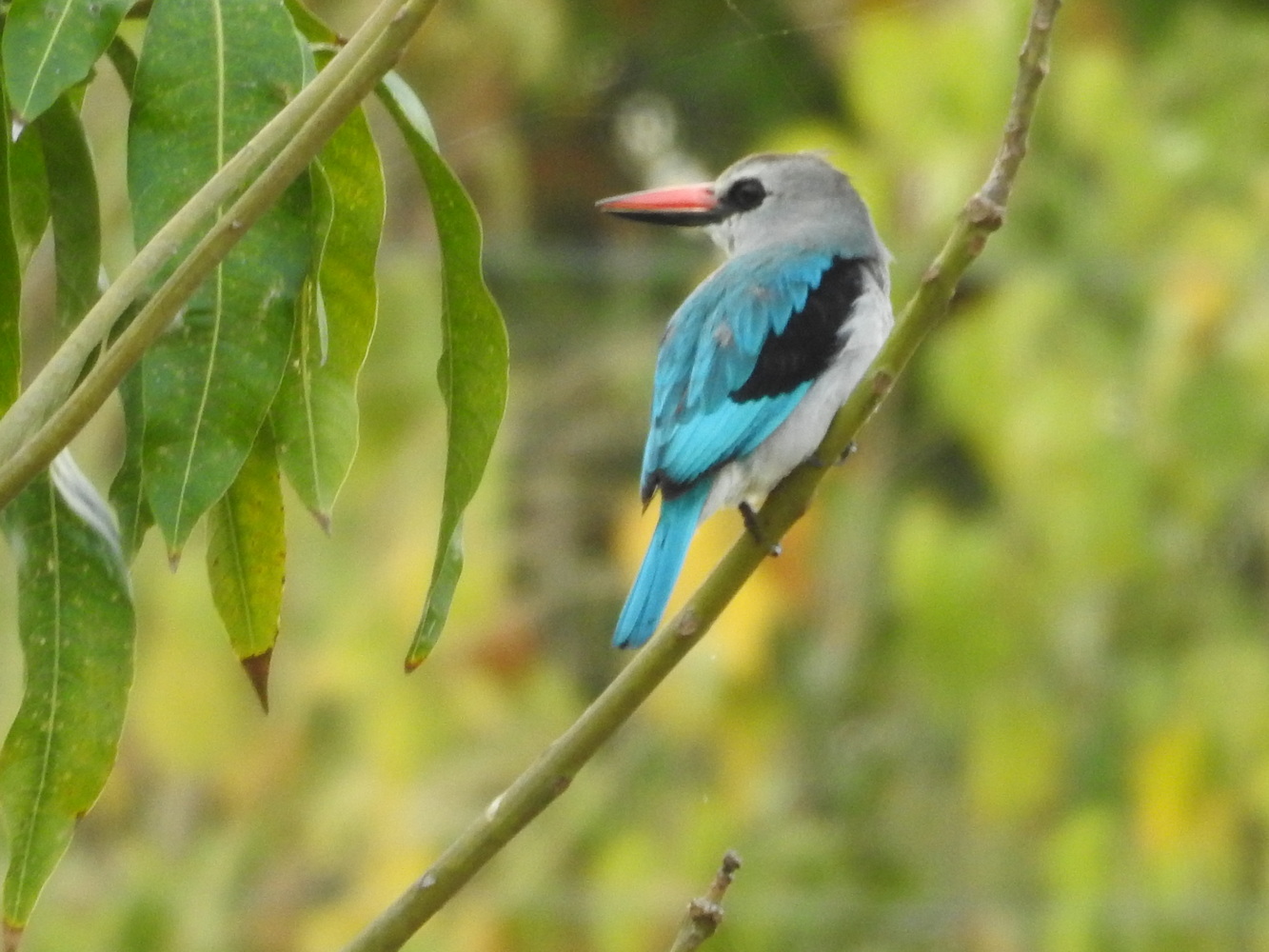
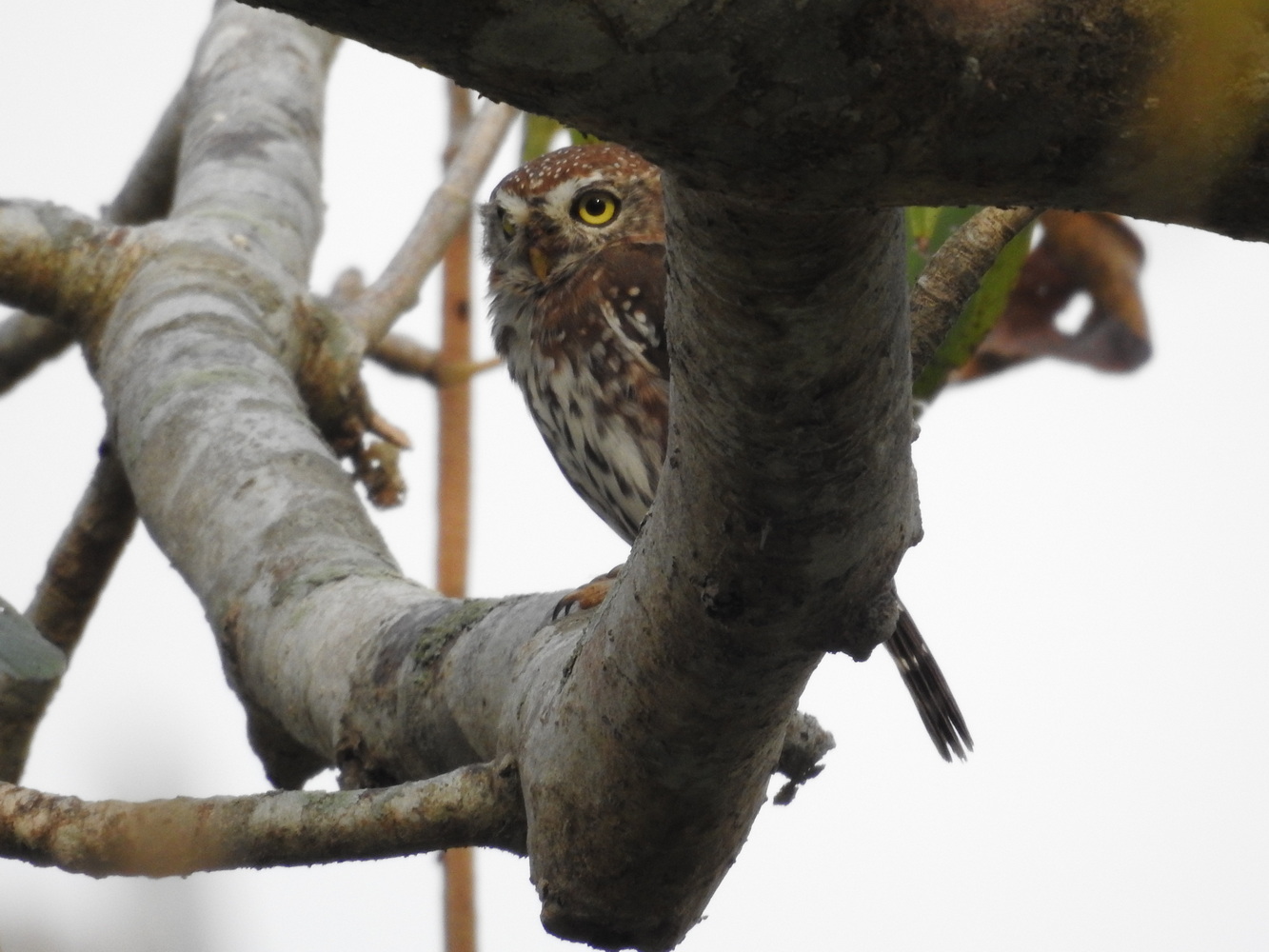
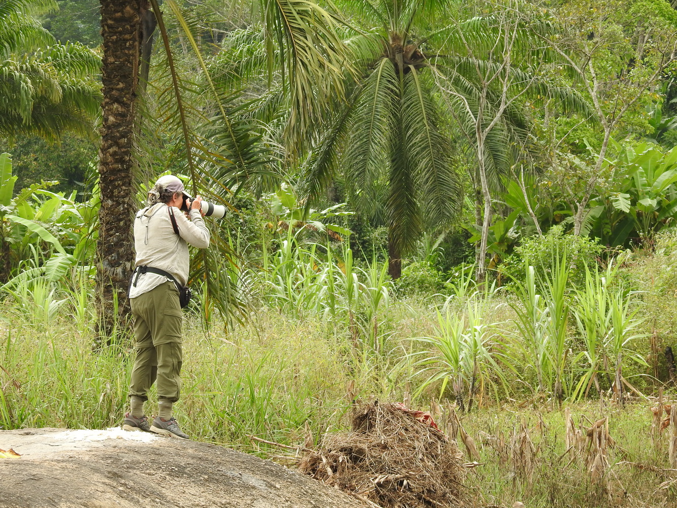
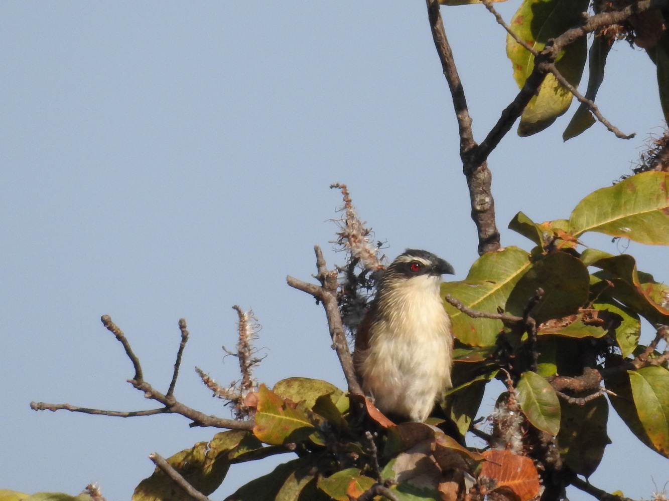
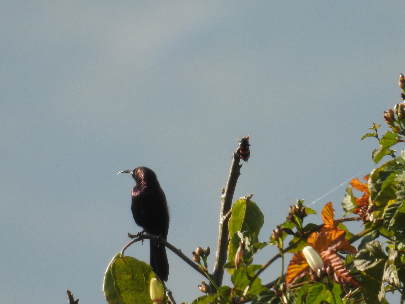
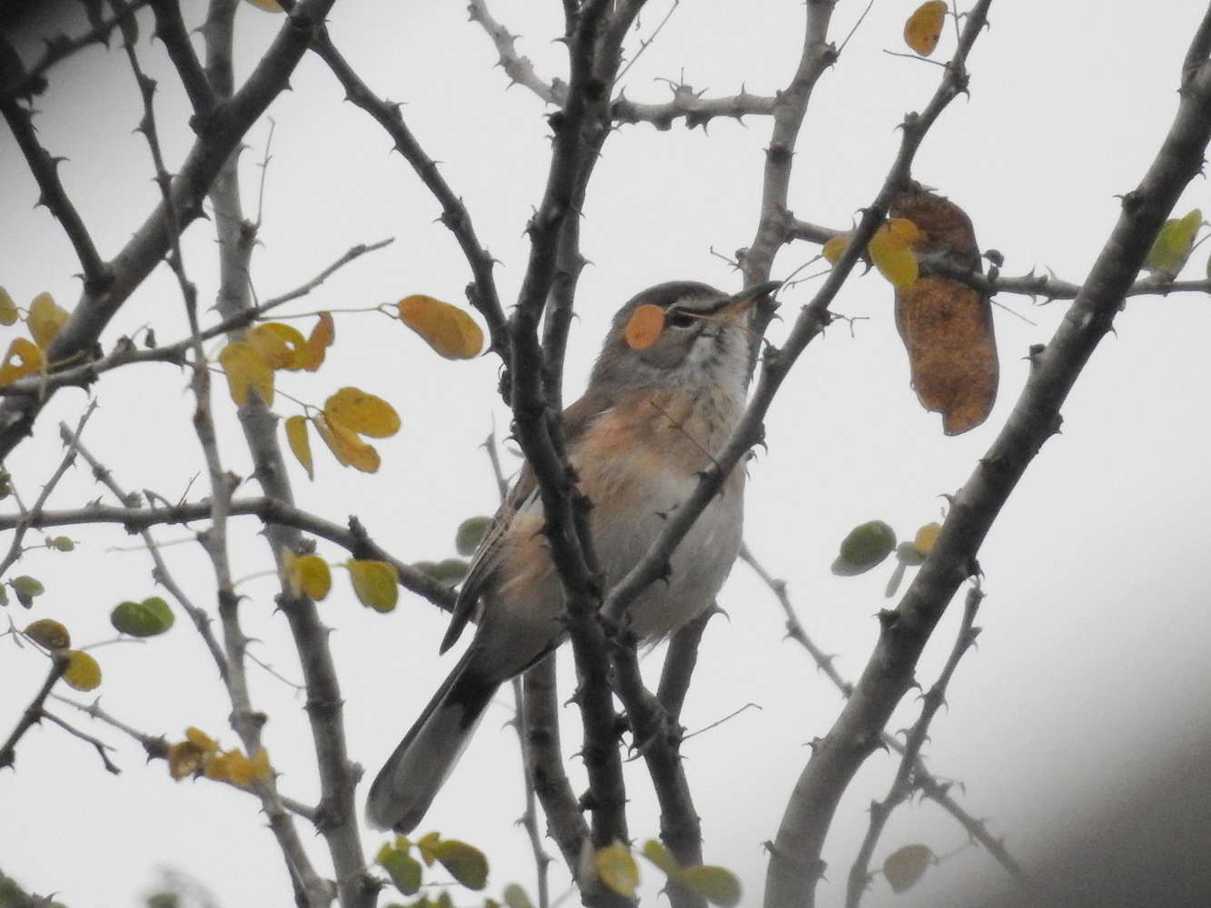
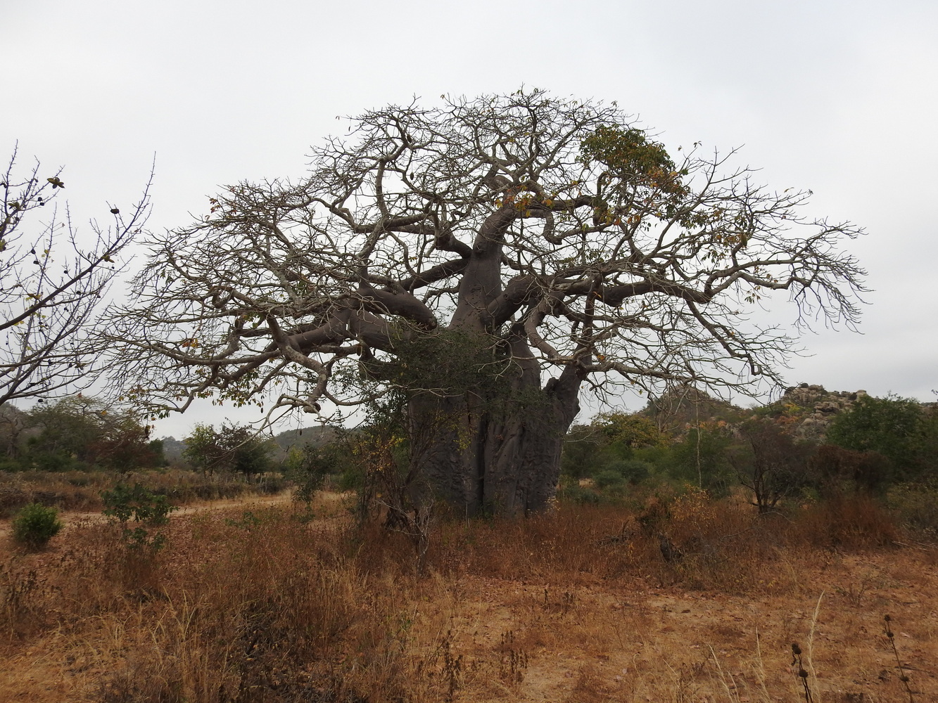
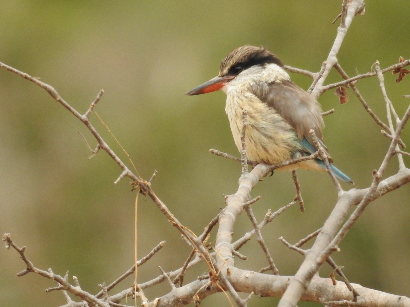
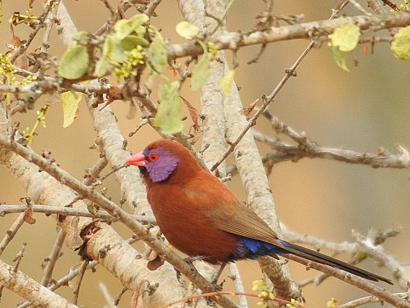
So, with that introduction, here’s the photo tour! Since there are many pictures, you may want to simply scroll down through them. But you can click on an individual image to see it full screen. If you’d like to know more about this adventure, we’re happy to talk further about the stories behind the pictures!
Arrival and the Kwanza River
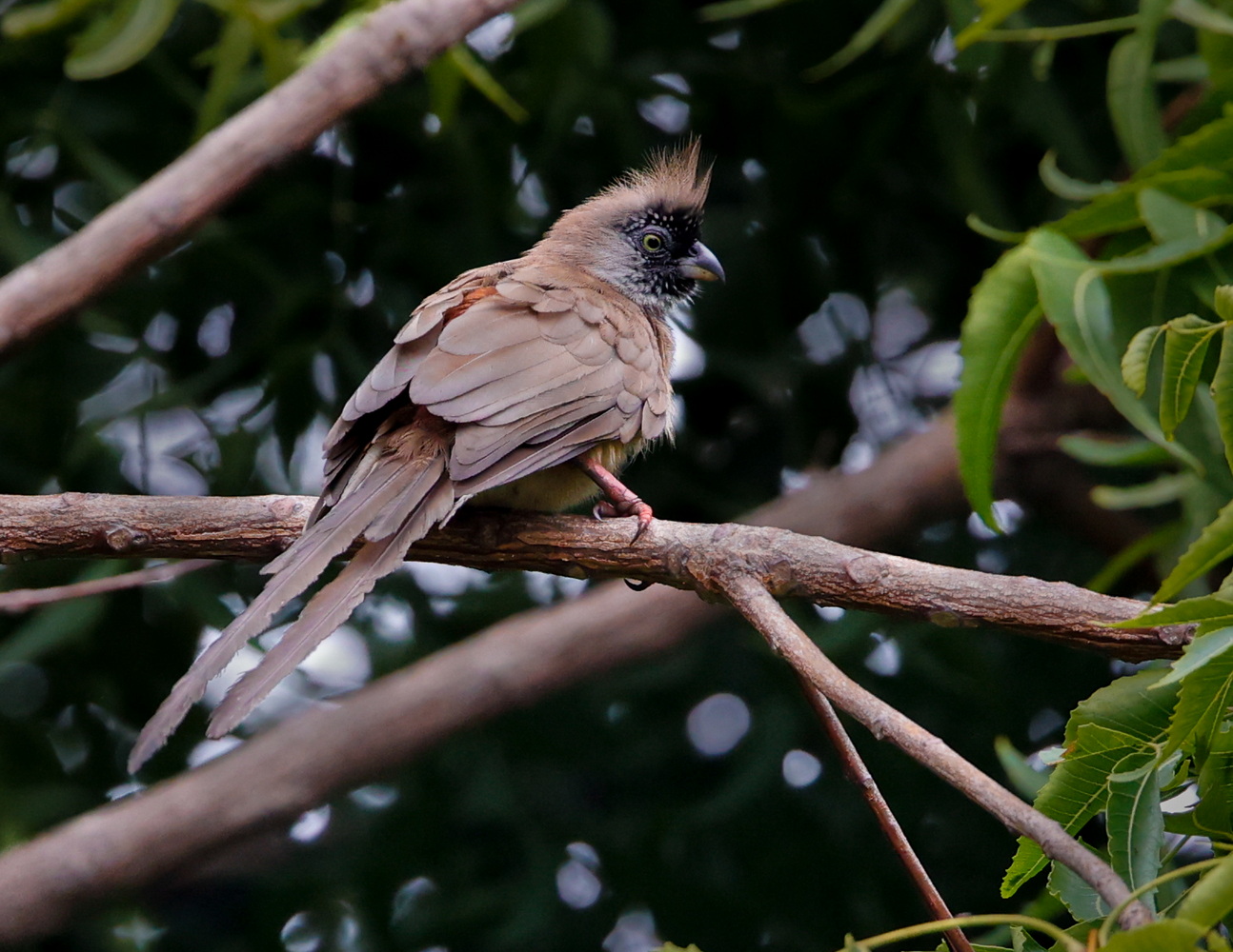
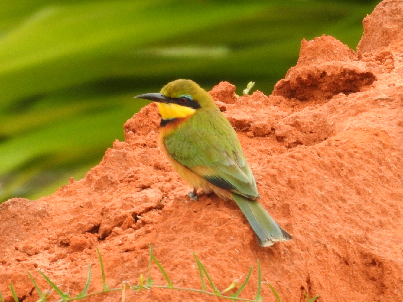
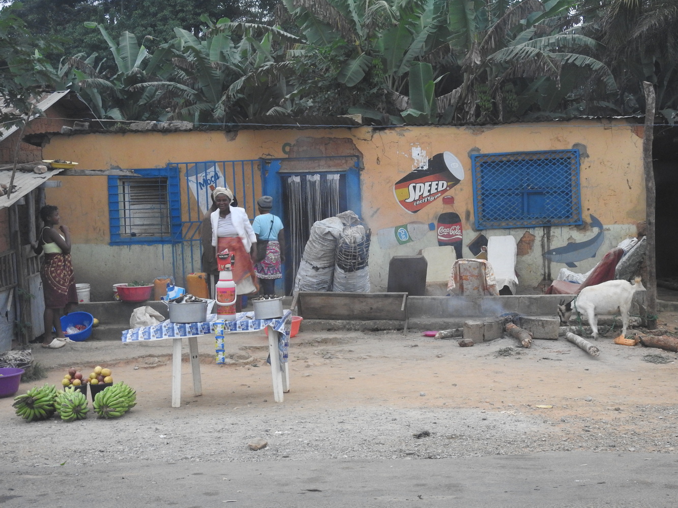
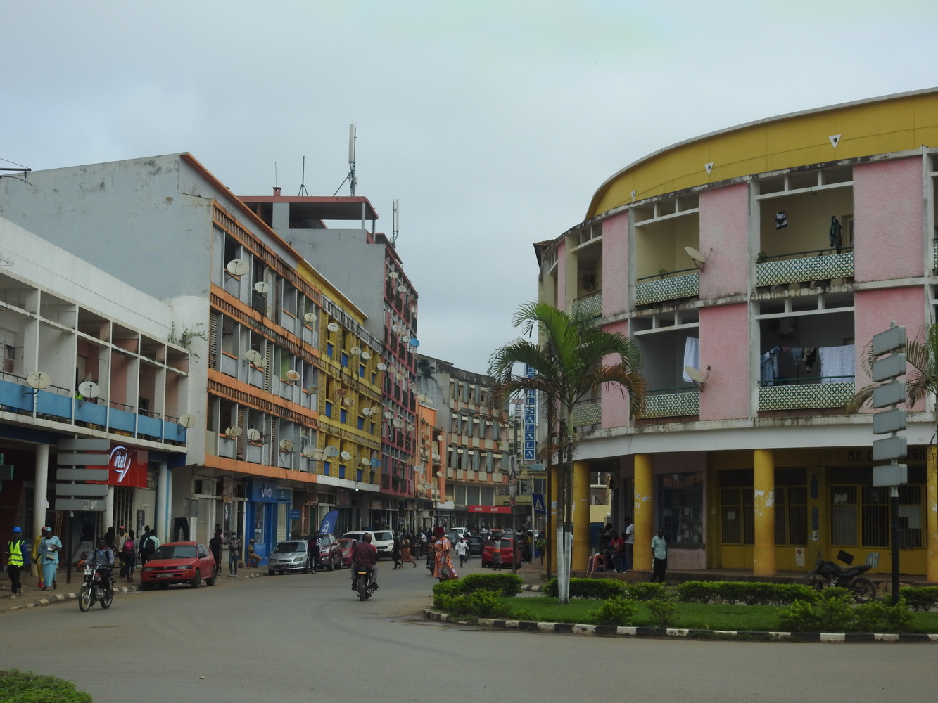
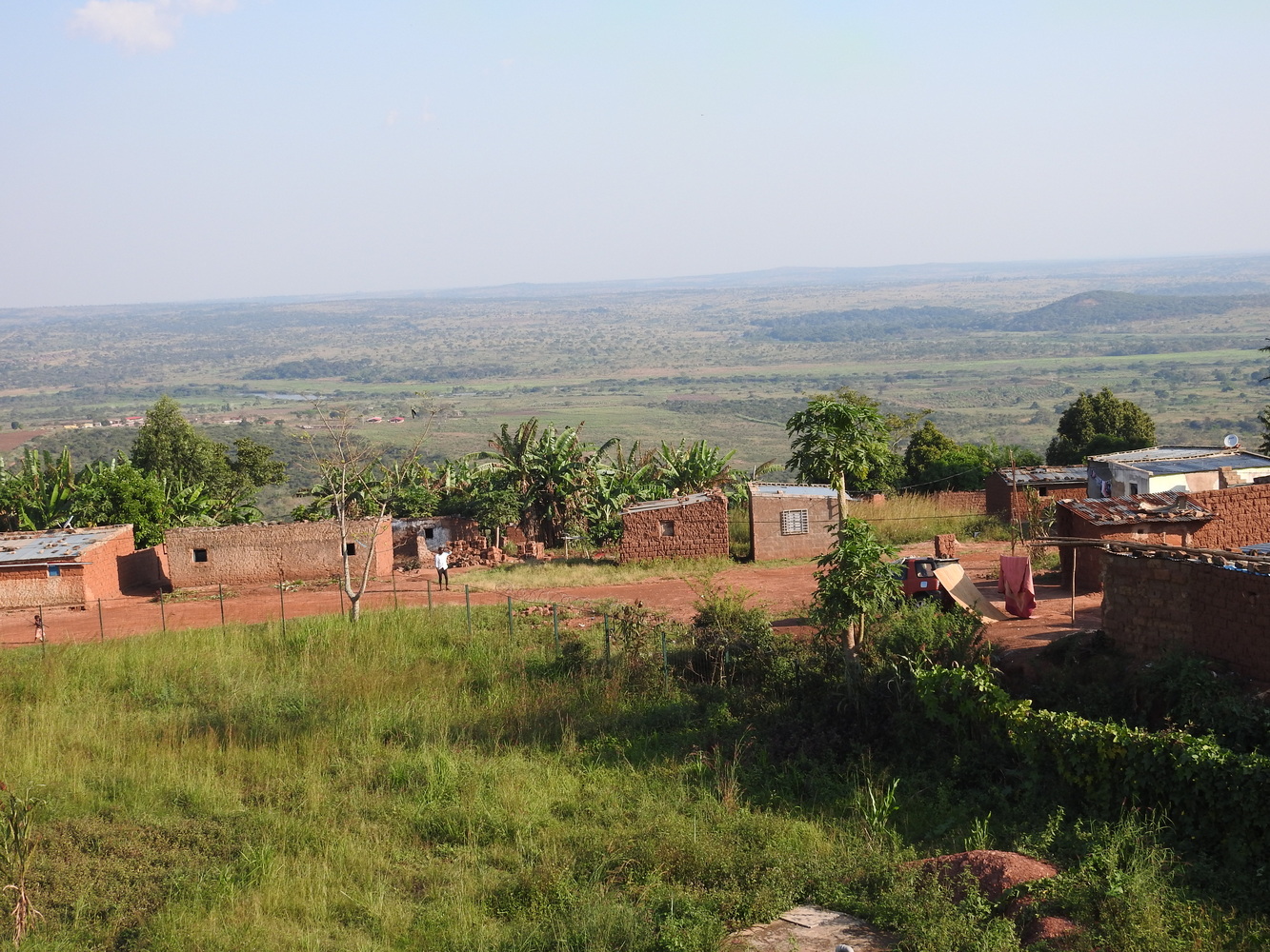
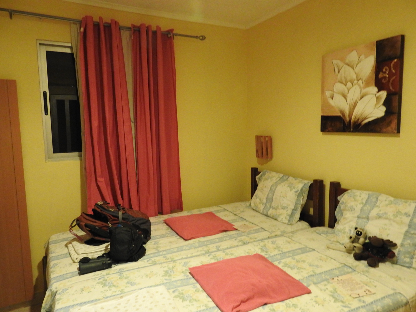
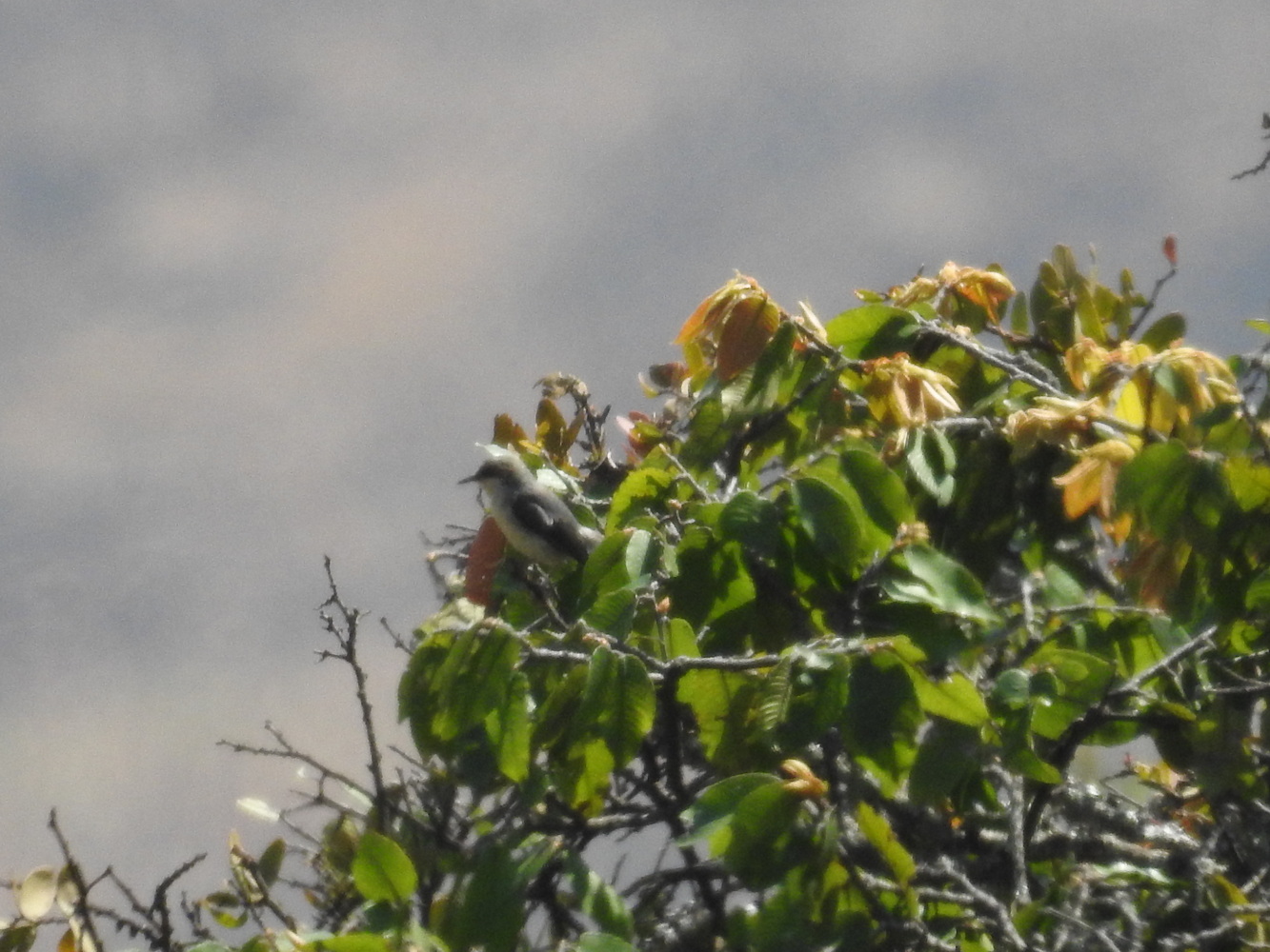
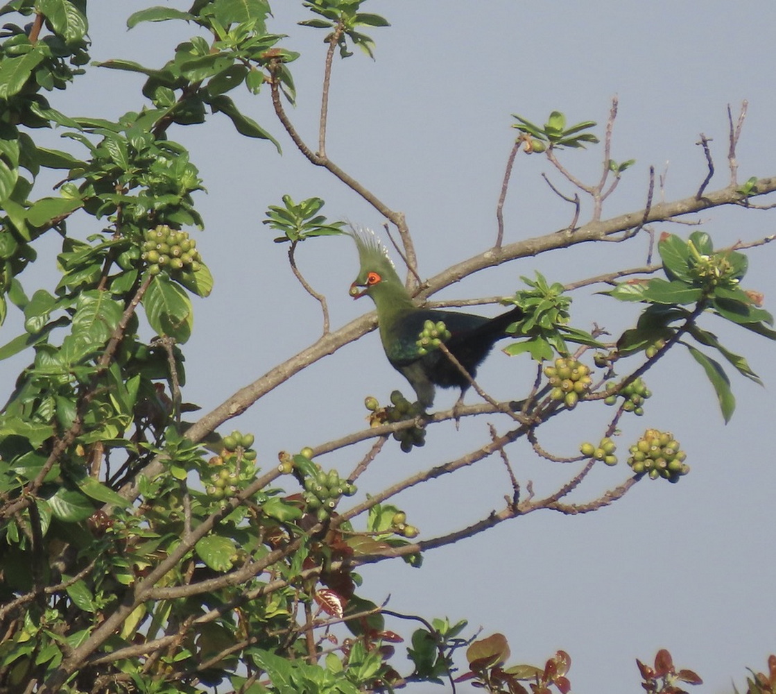
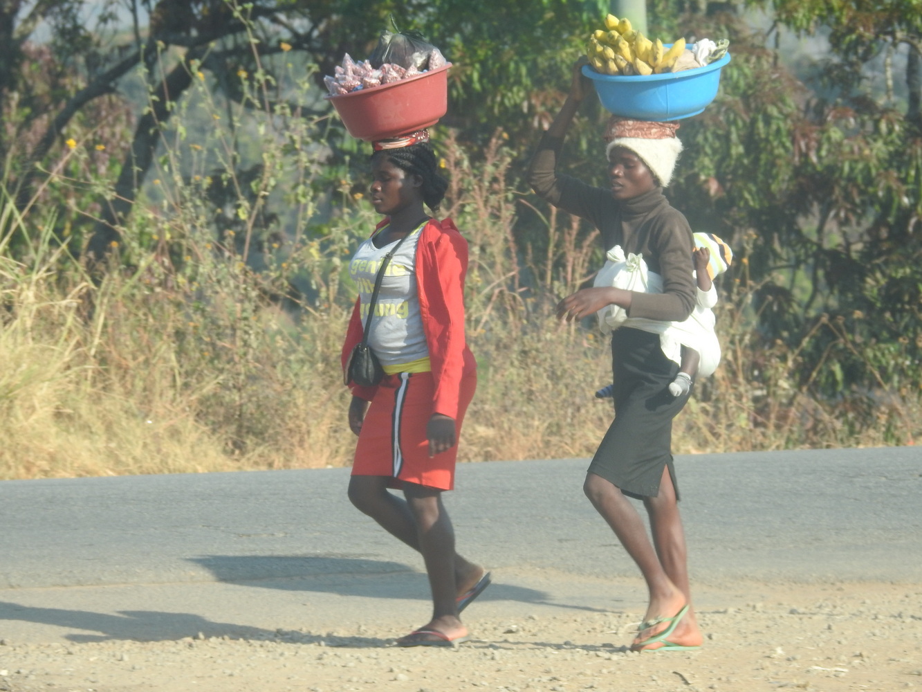
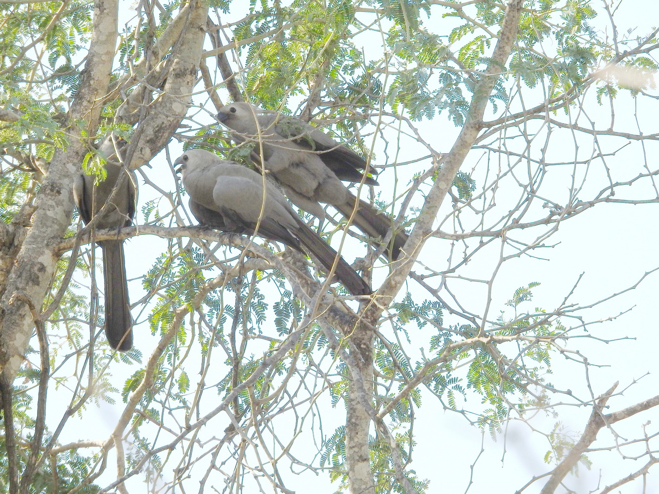
We arrived in Luanda early in the morning on May 29th and were treated to a very long wait at immigration (despite the time spent to get everything in order in advance). After that, Bruno met us and we drove to a hotel on the outskirts of Luanda where other tour members stayed the night before. While there, we saw our first life bird (or ‘lifer’) of the trip – the Red-backed Mousebird. We stopped at the Luna View Point overlook for birding on the way to our lodge.
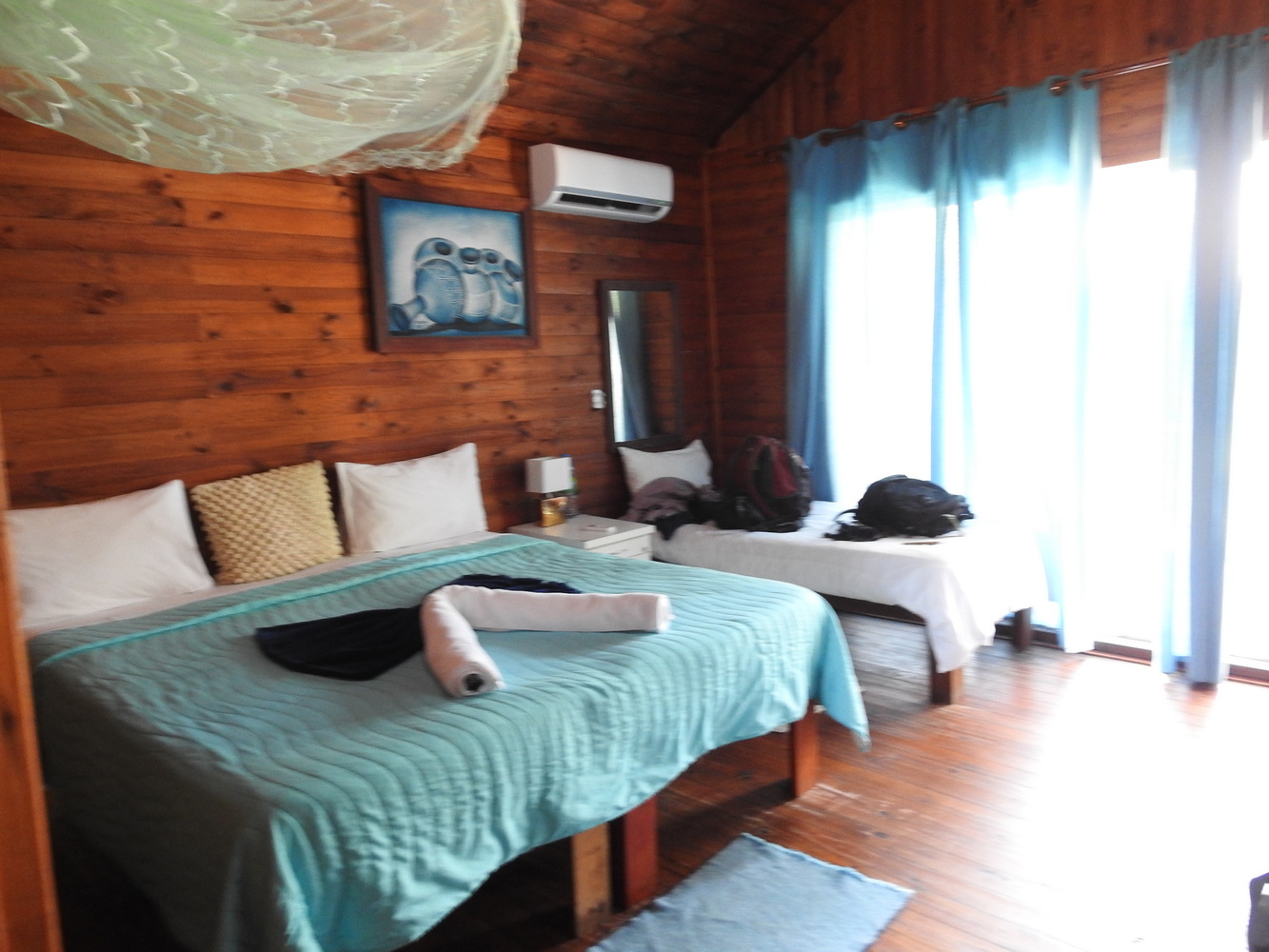
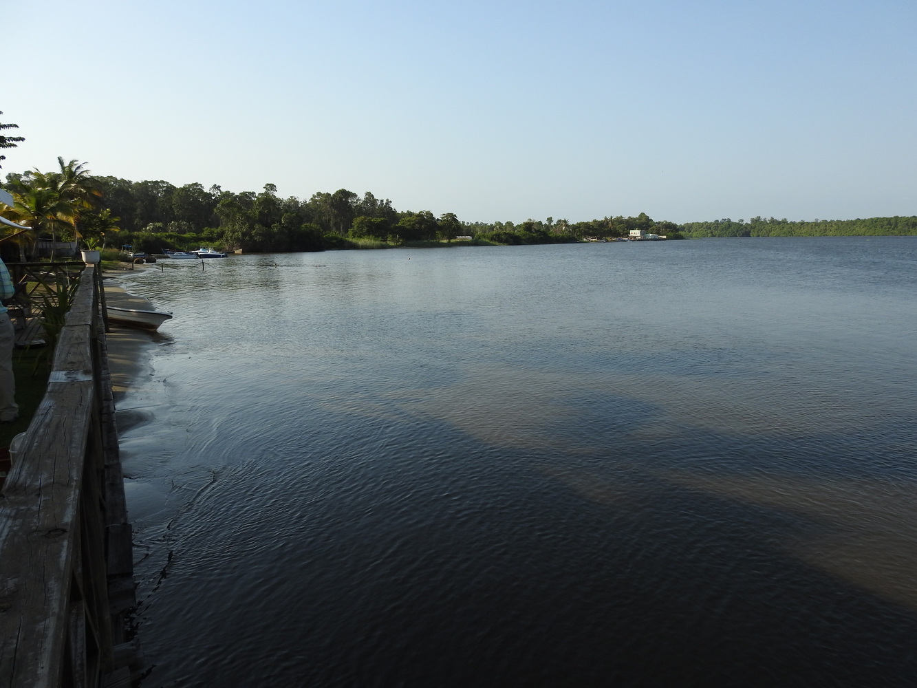
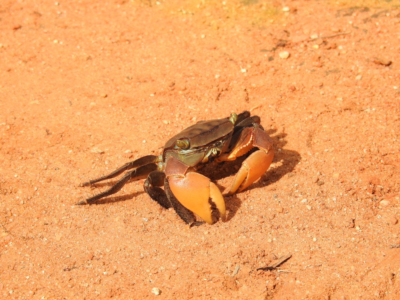
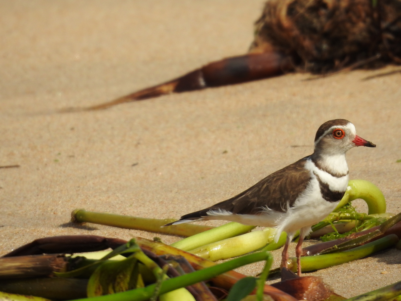
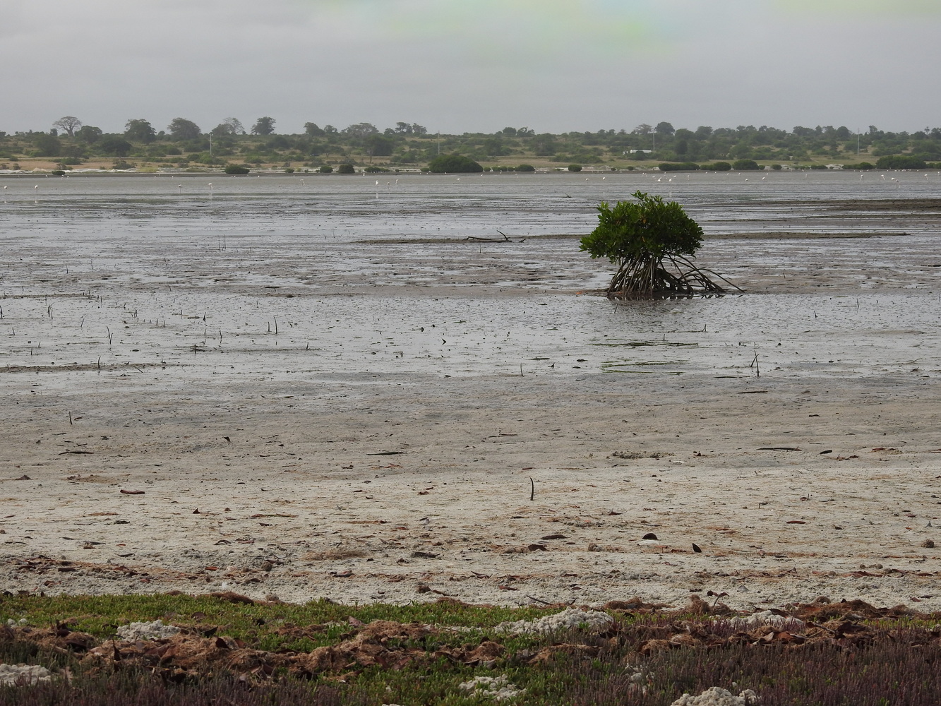
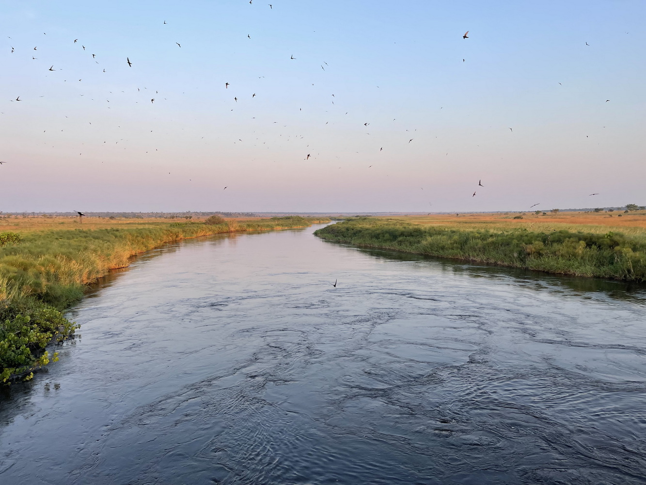
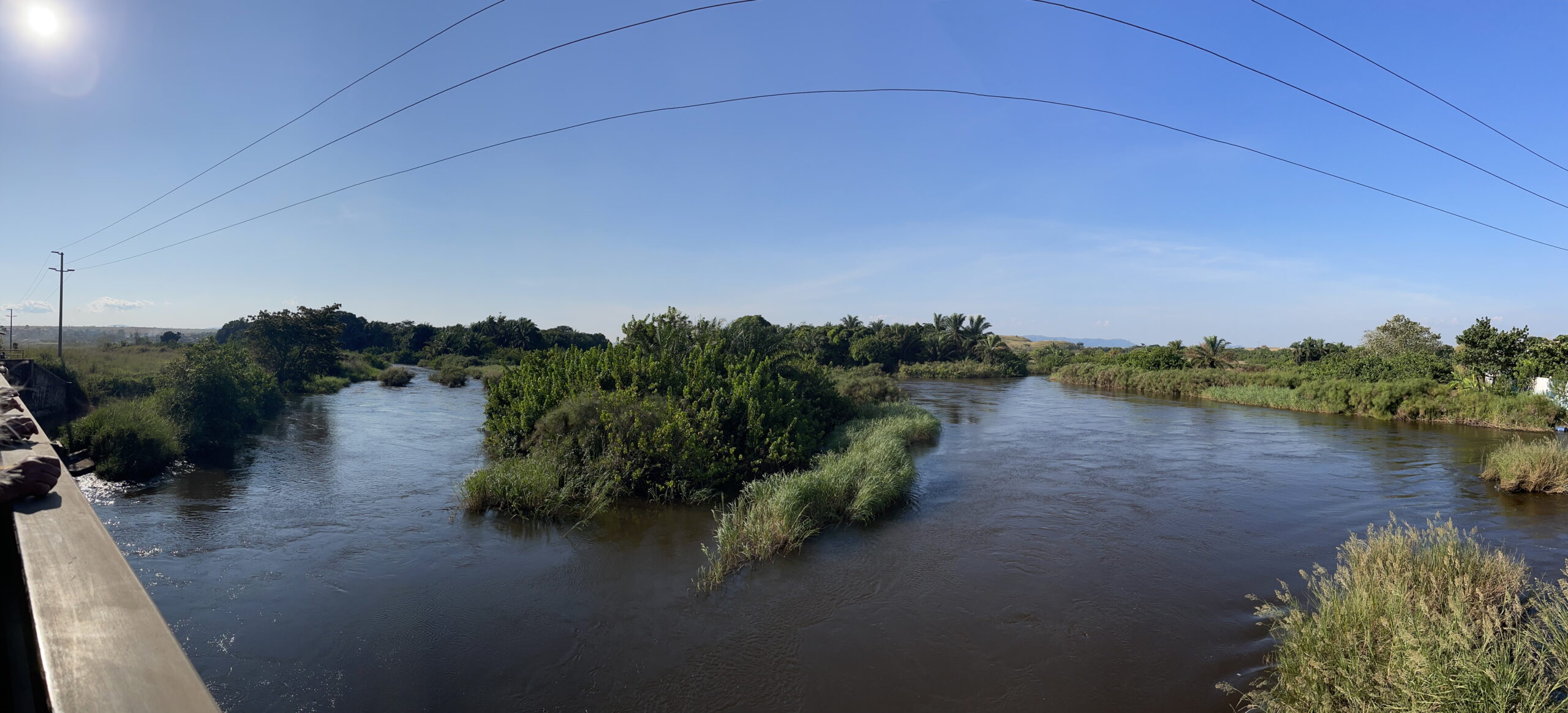
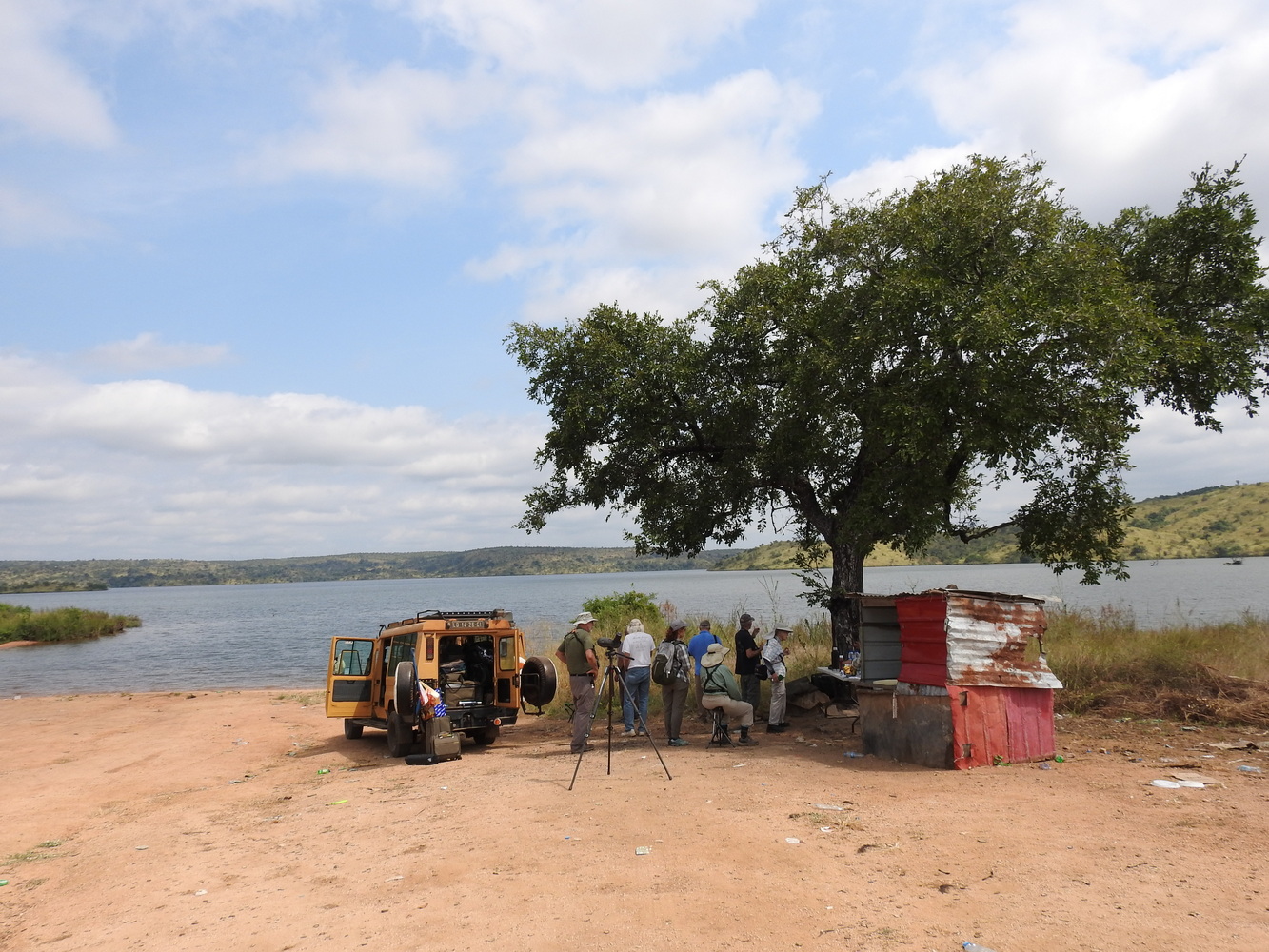
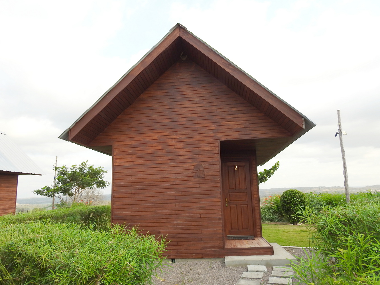
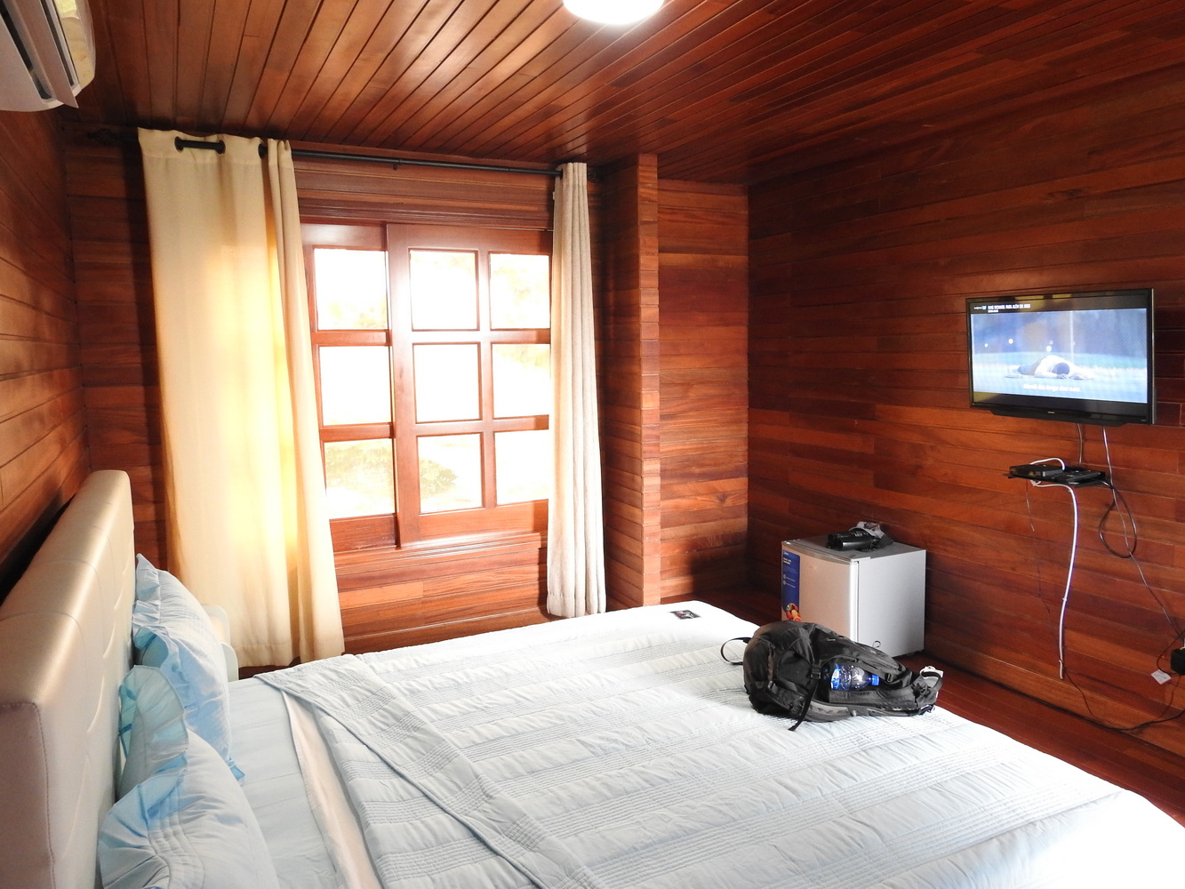
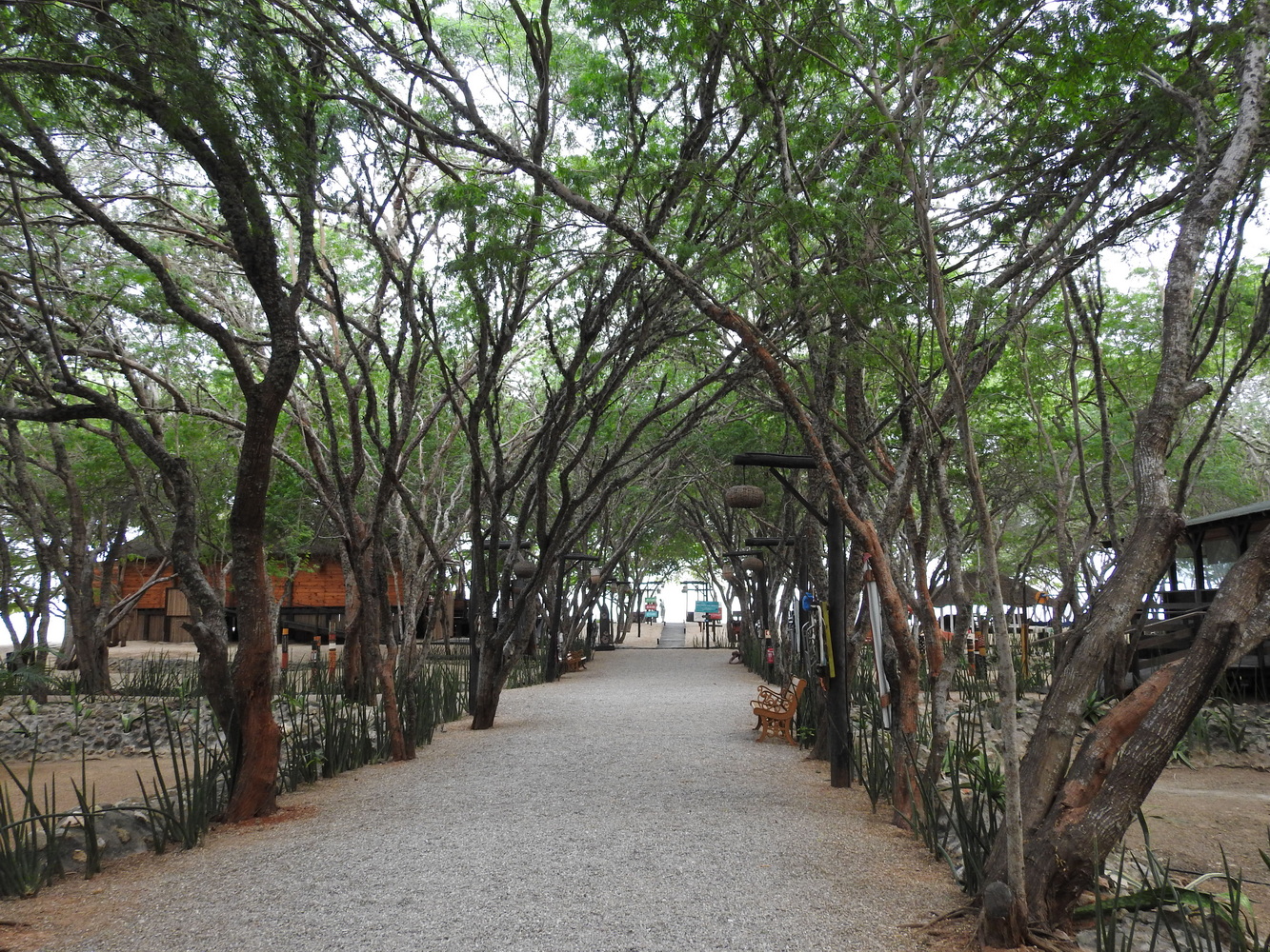
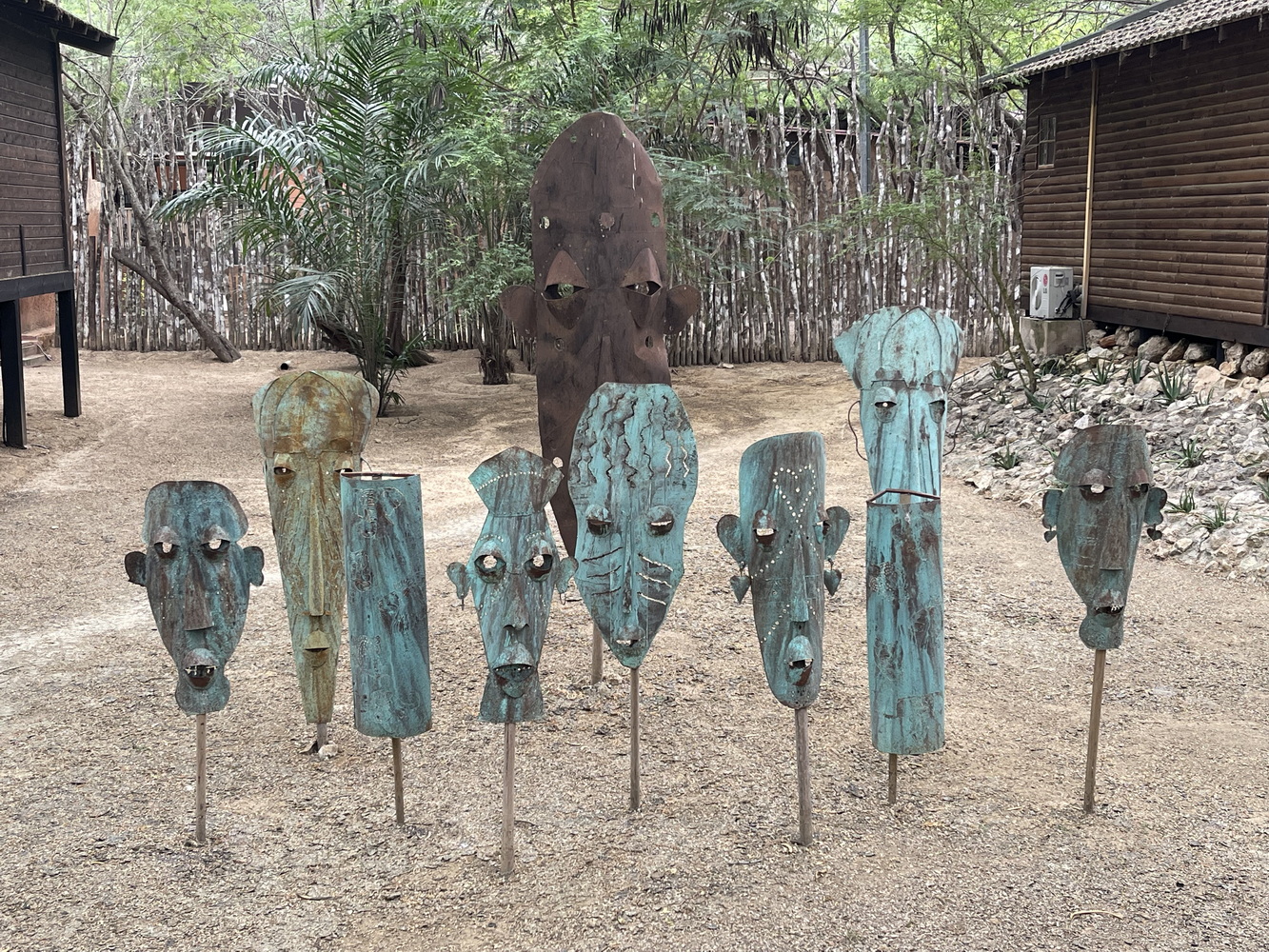
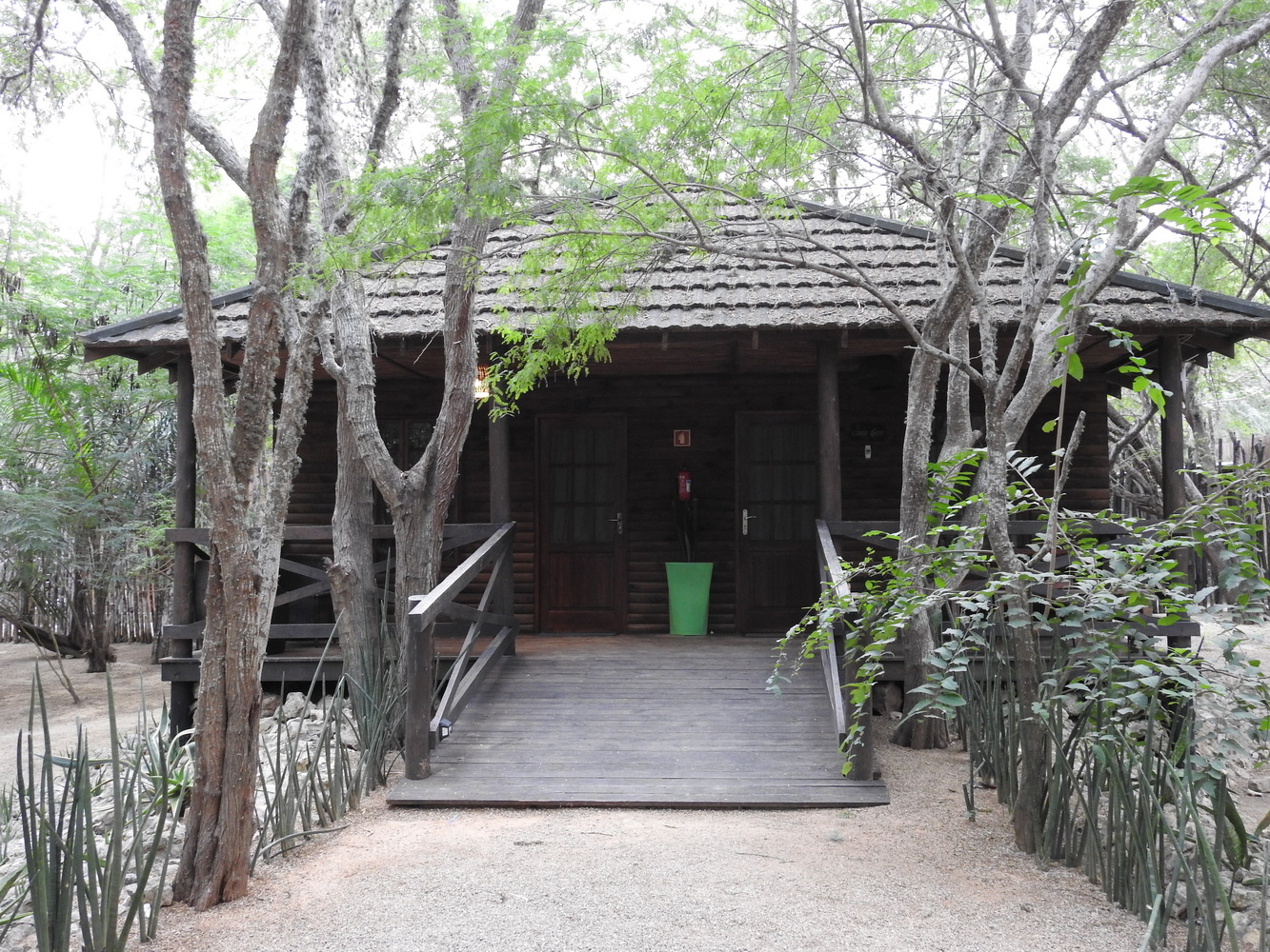
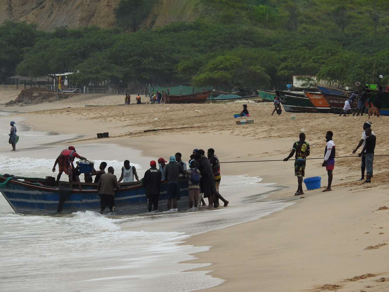
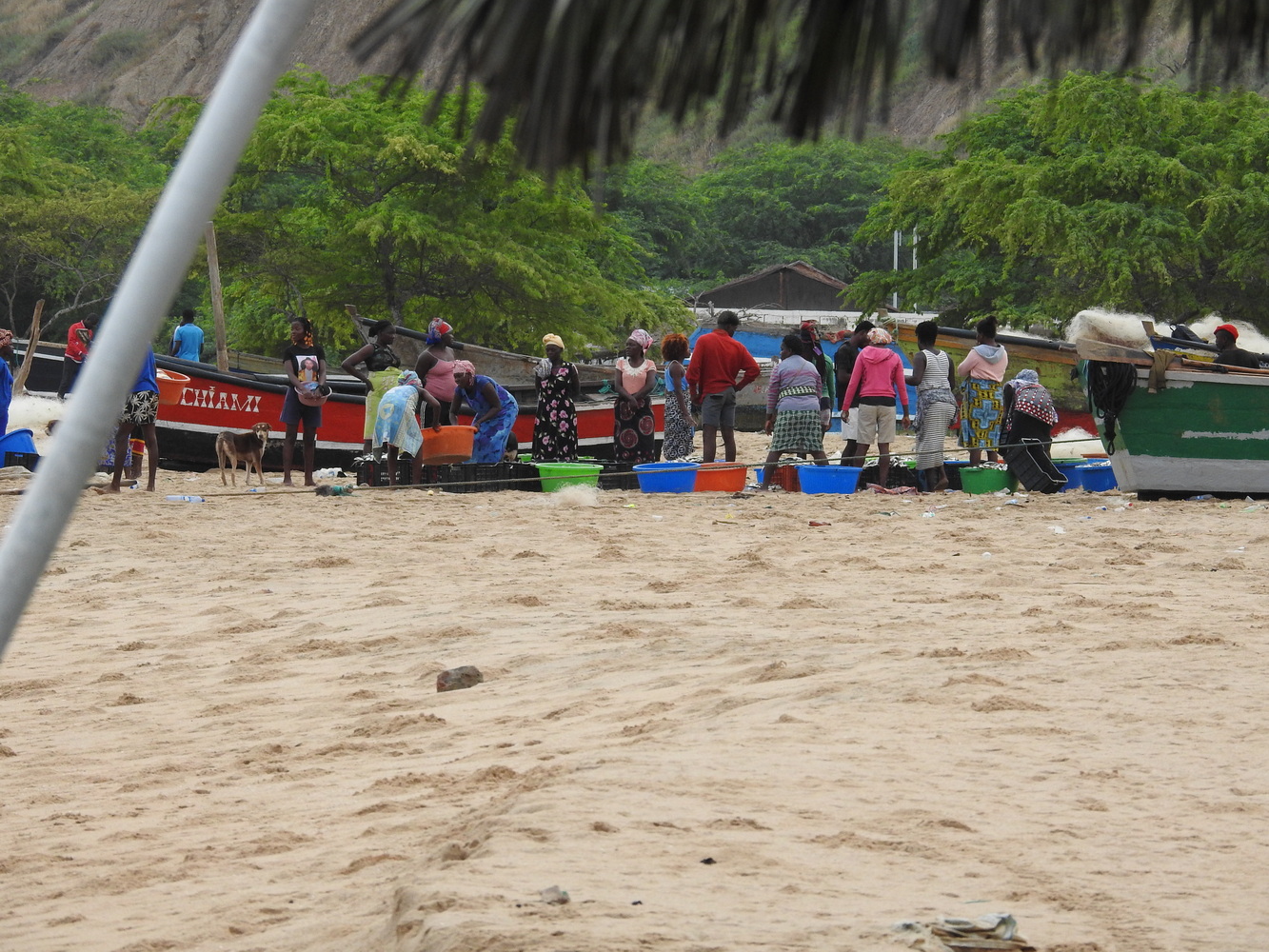
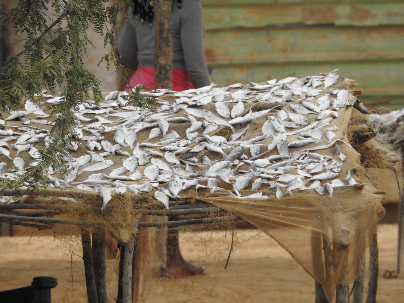
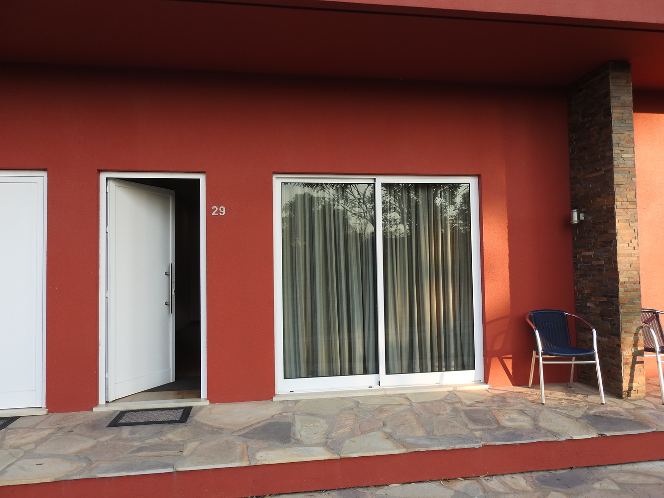
We reached to Kwanza River Lodge about lunchtime. We stayed here a second night and birded along the Kwanza River and at its mouth in the Atlantic.
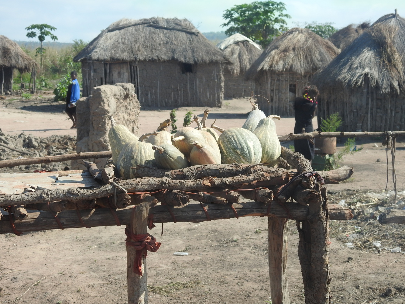
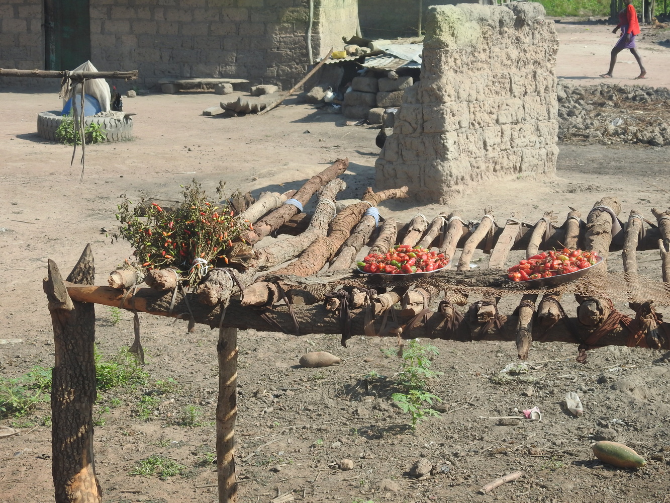
A Long Trek to get to Üige
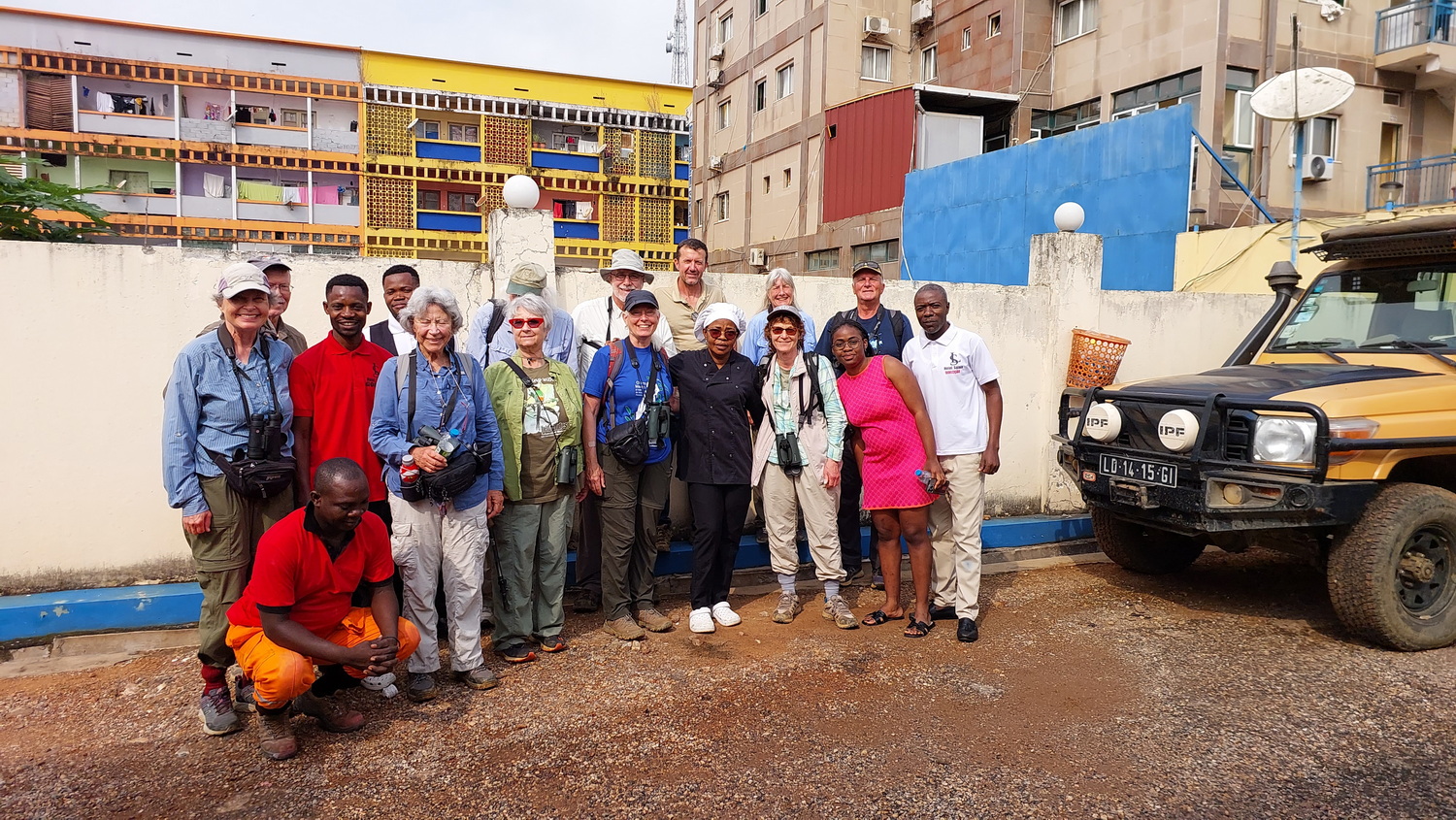
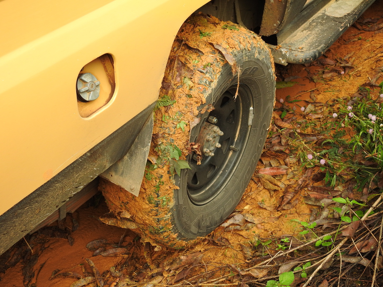
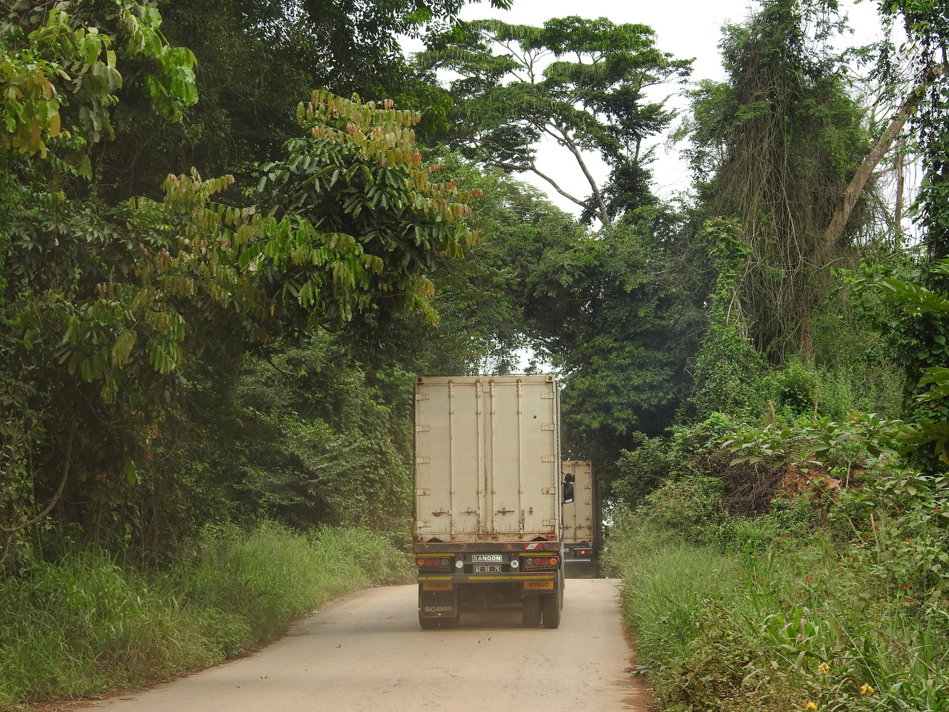
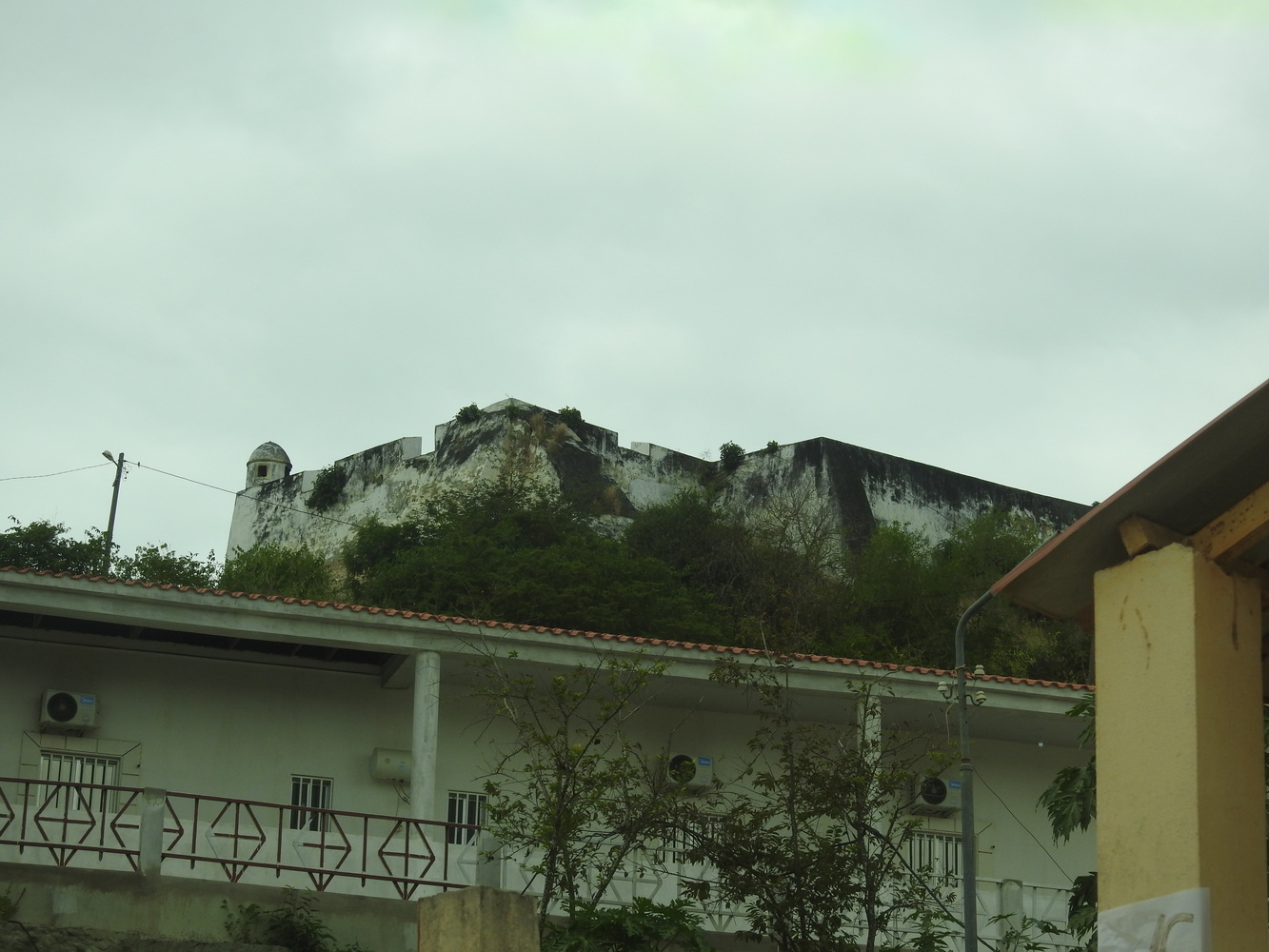
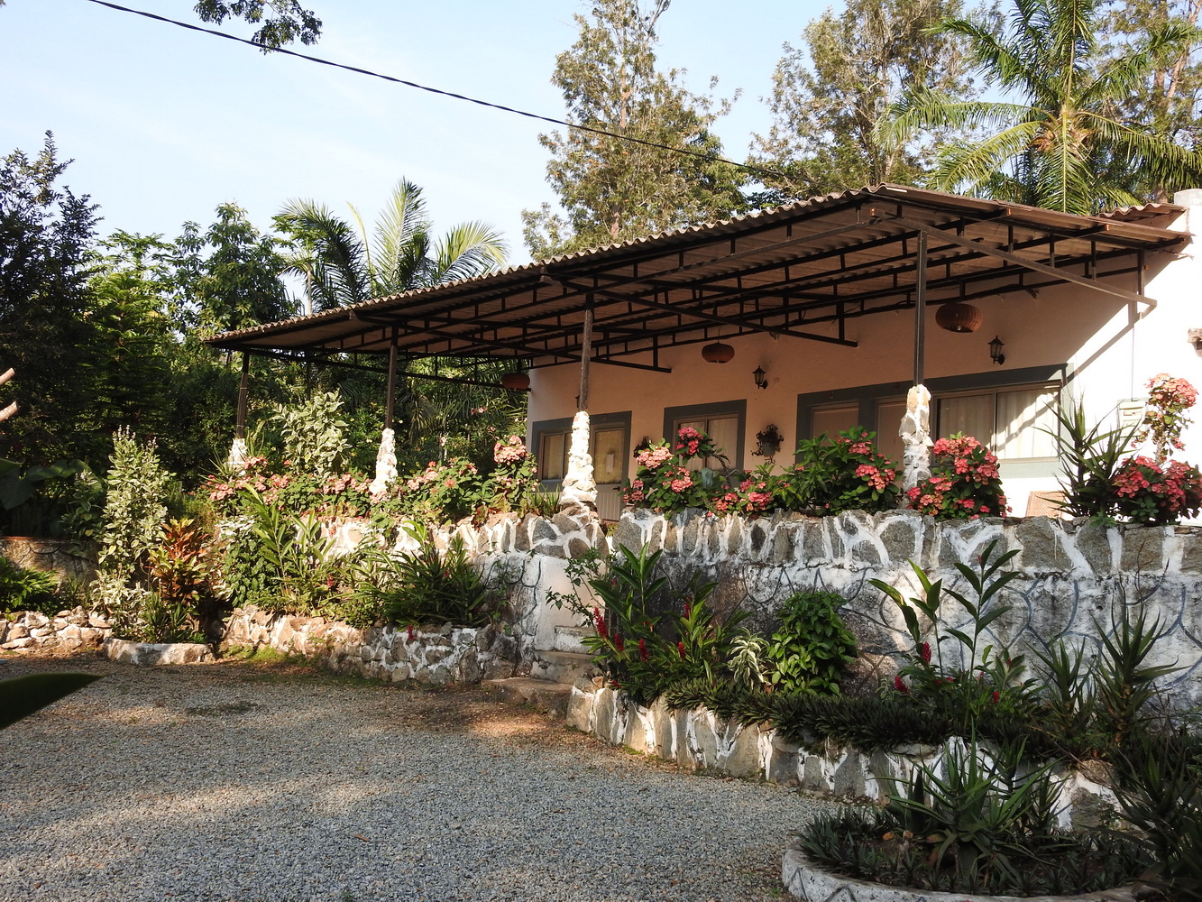
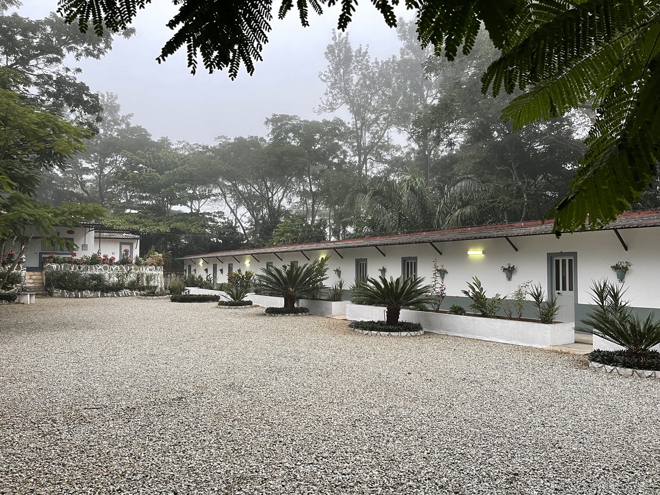
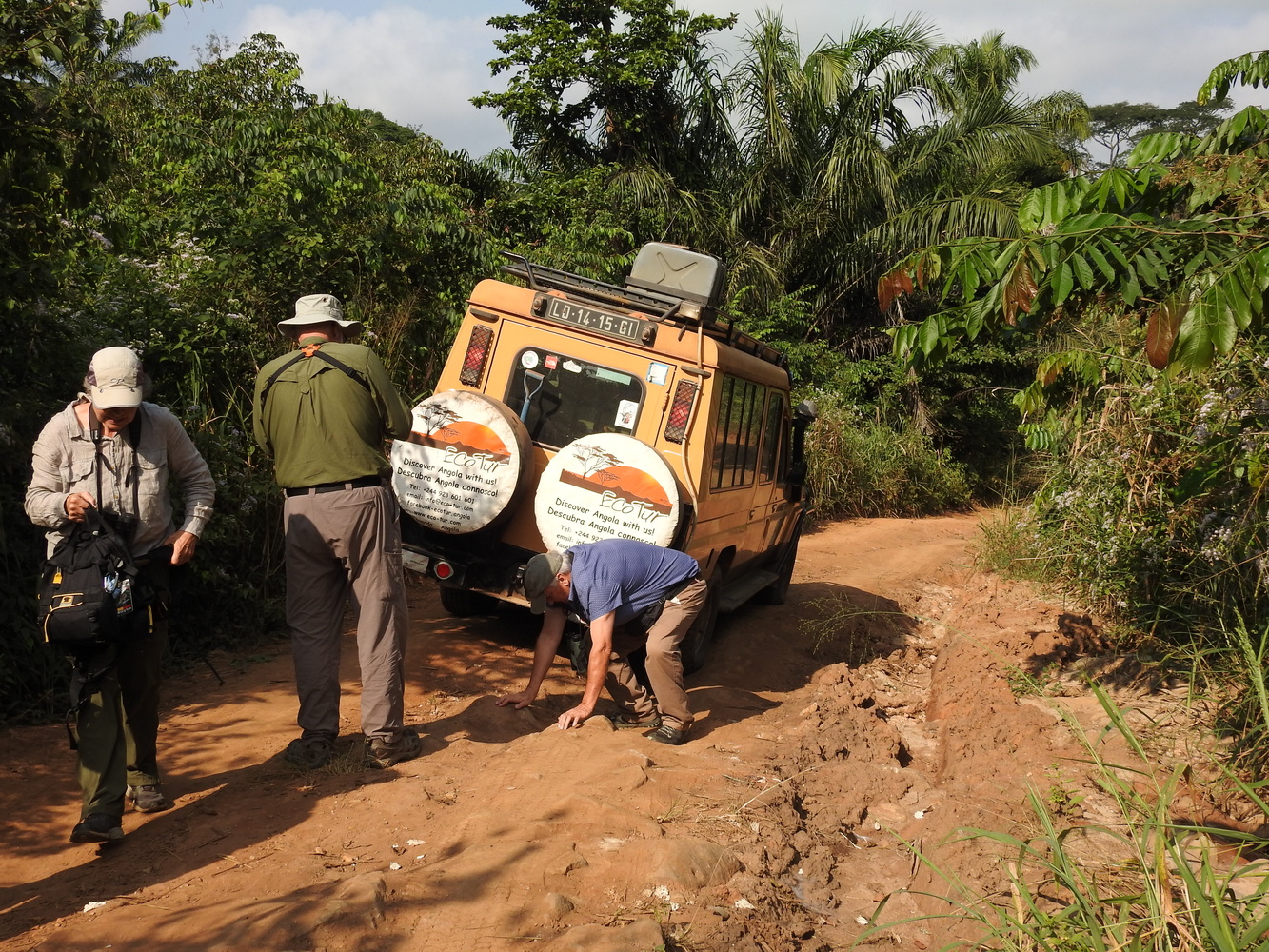
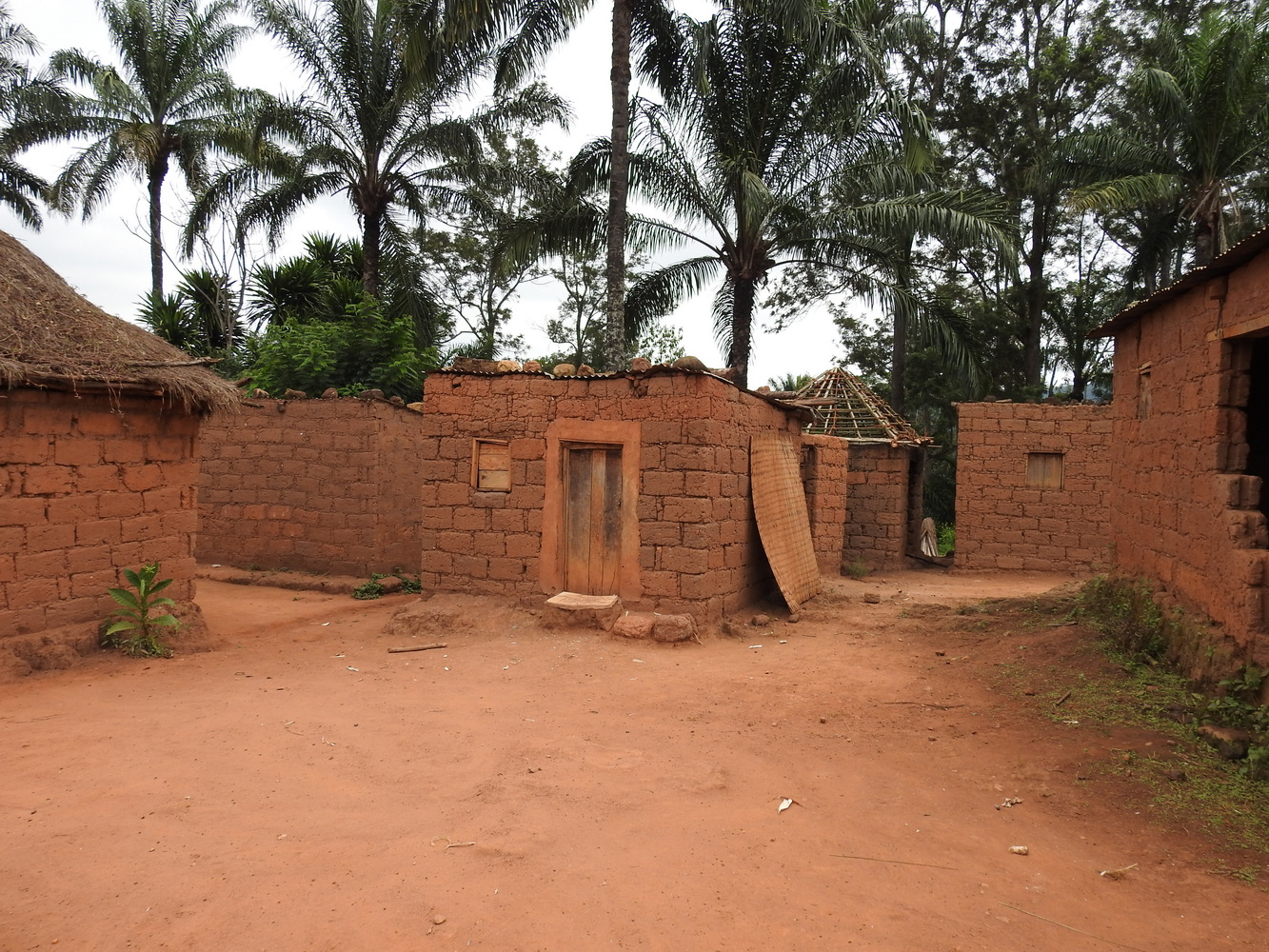
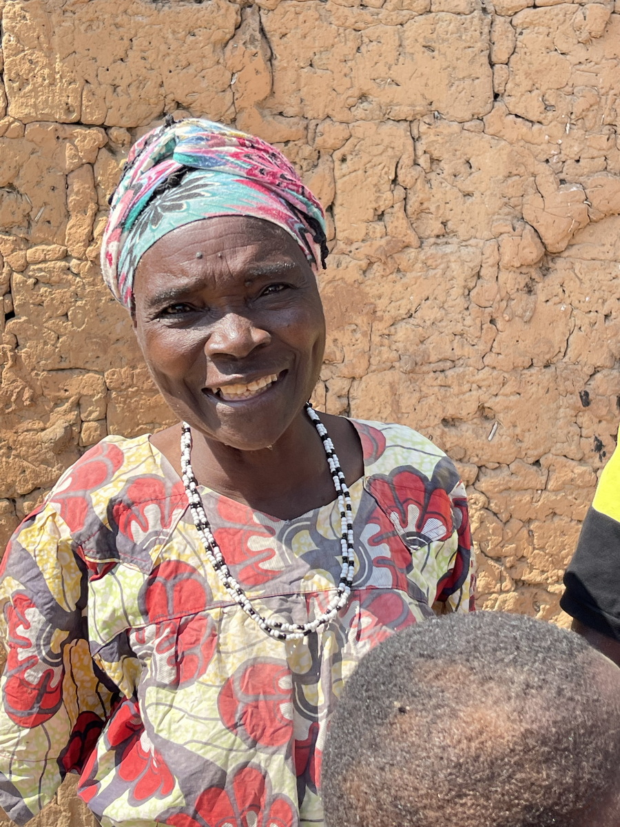
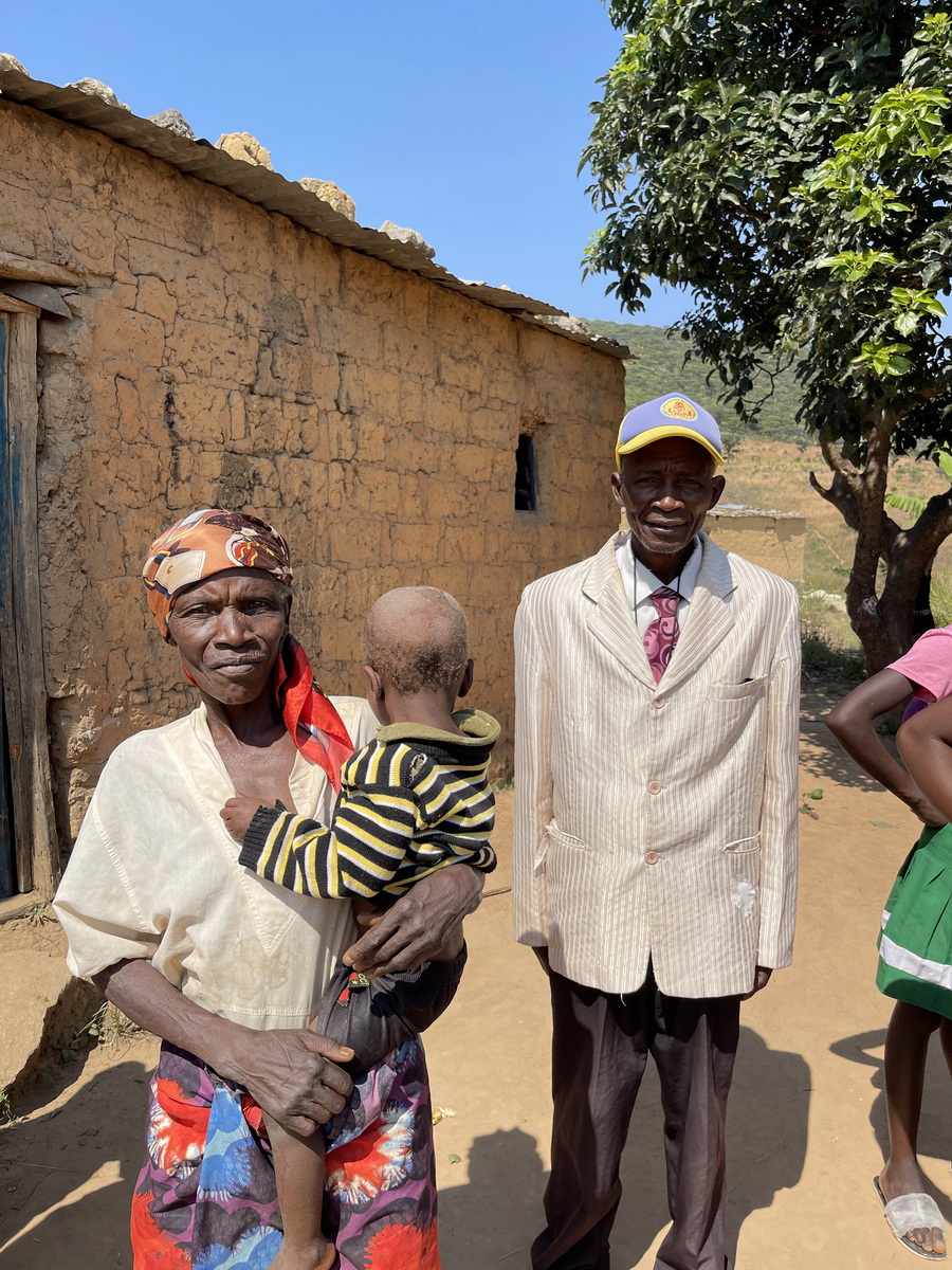
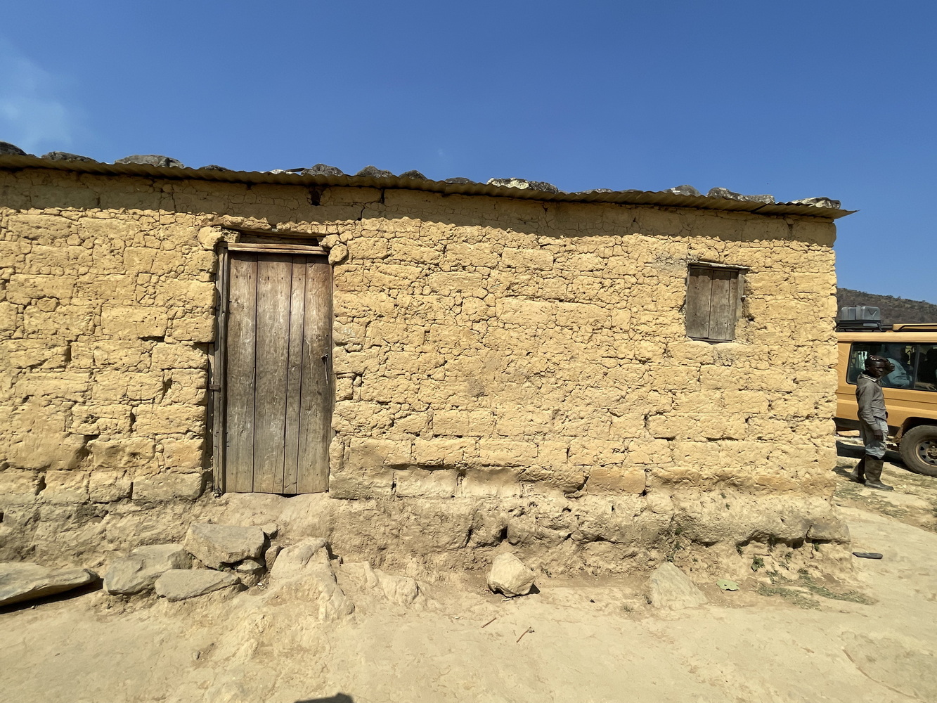
The drive to Üige required that we go back through Luanda. Though we were not in the center of town, it was still slow and chaotic. After that, we thought the drive would go smoothly. But in the four years since Errol had traveled here (due to COVID shutdowns), the roads have deteriorated badly. A drive he thought would be about 6 hours turned out to be 9! At our Hotel Salala, the owner was so glad to have us that she insisted on a group photo.
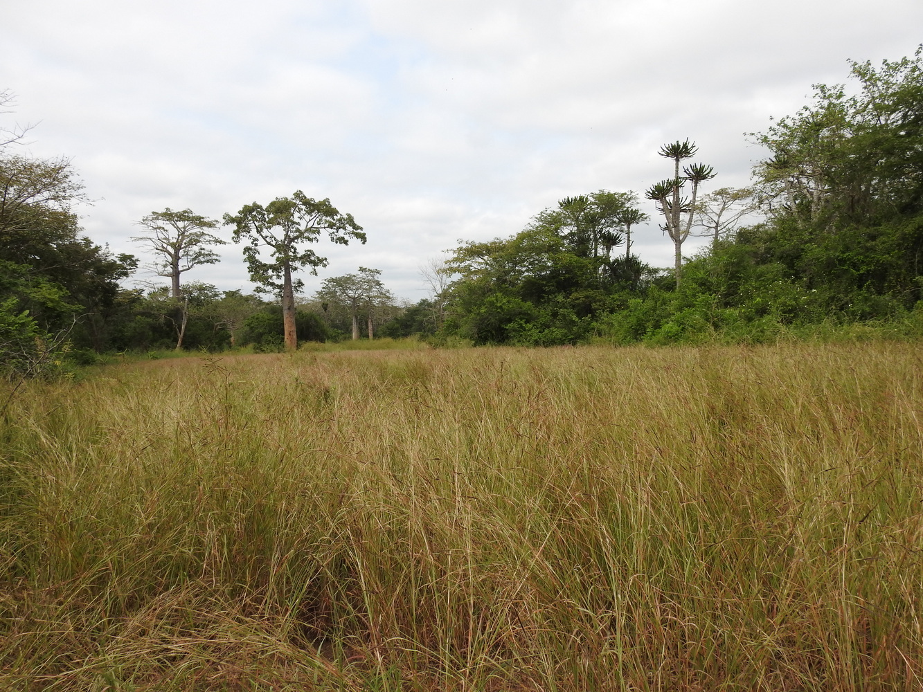
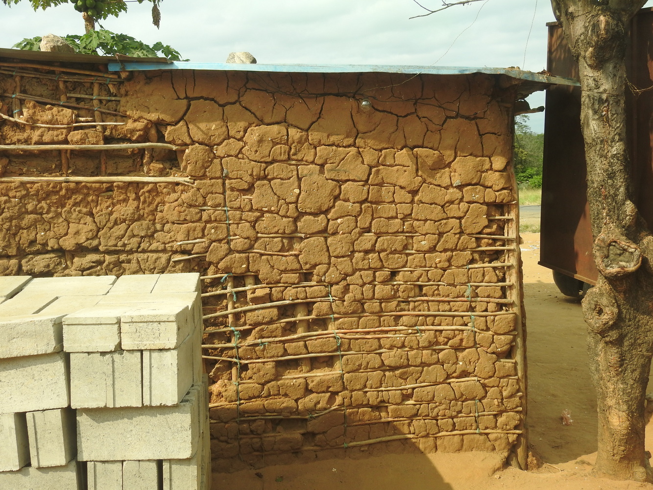
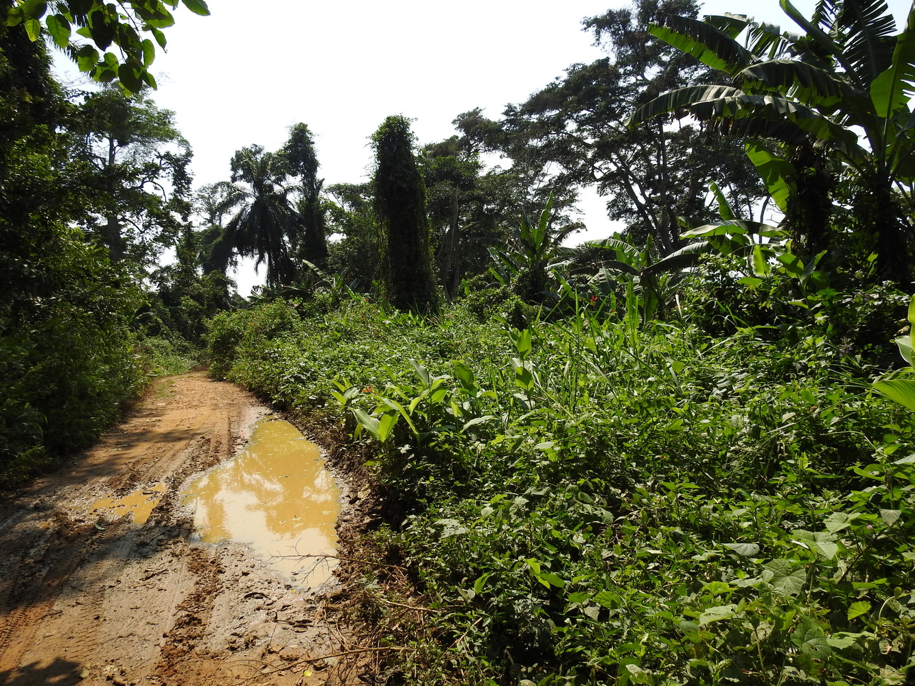
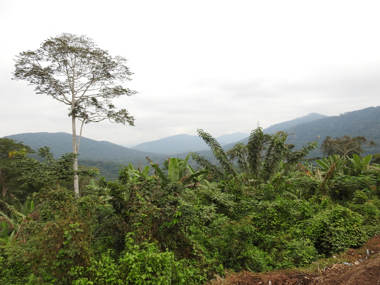
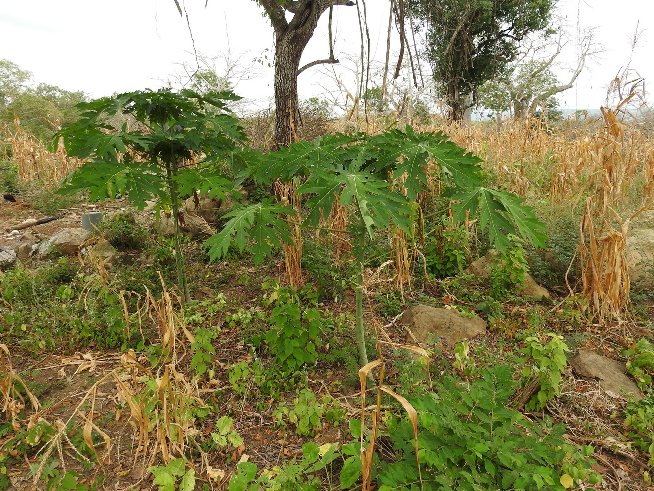
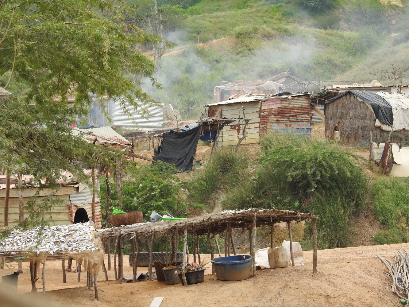
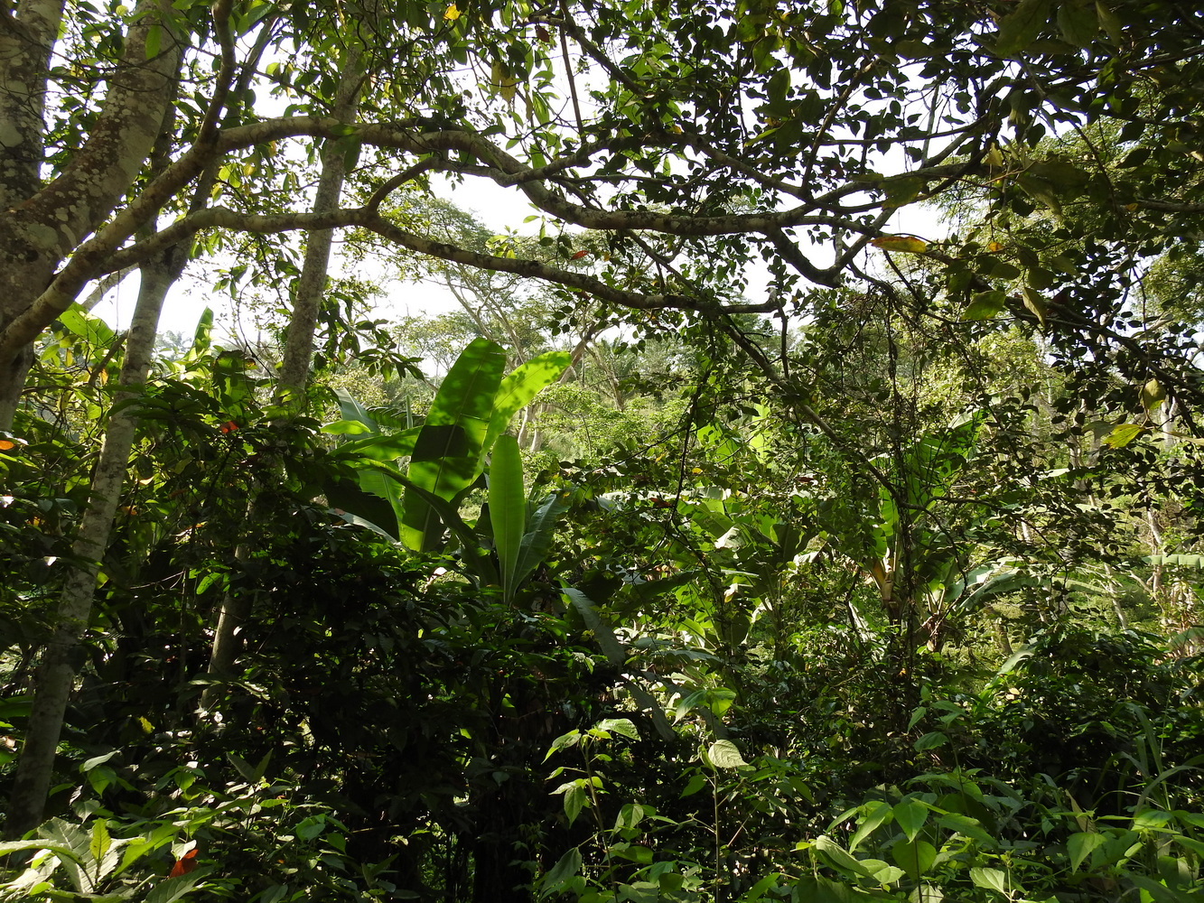
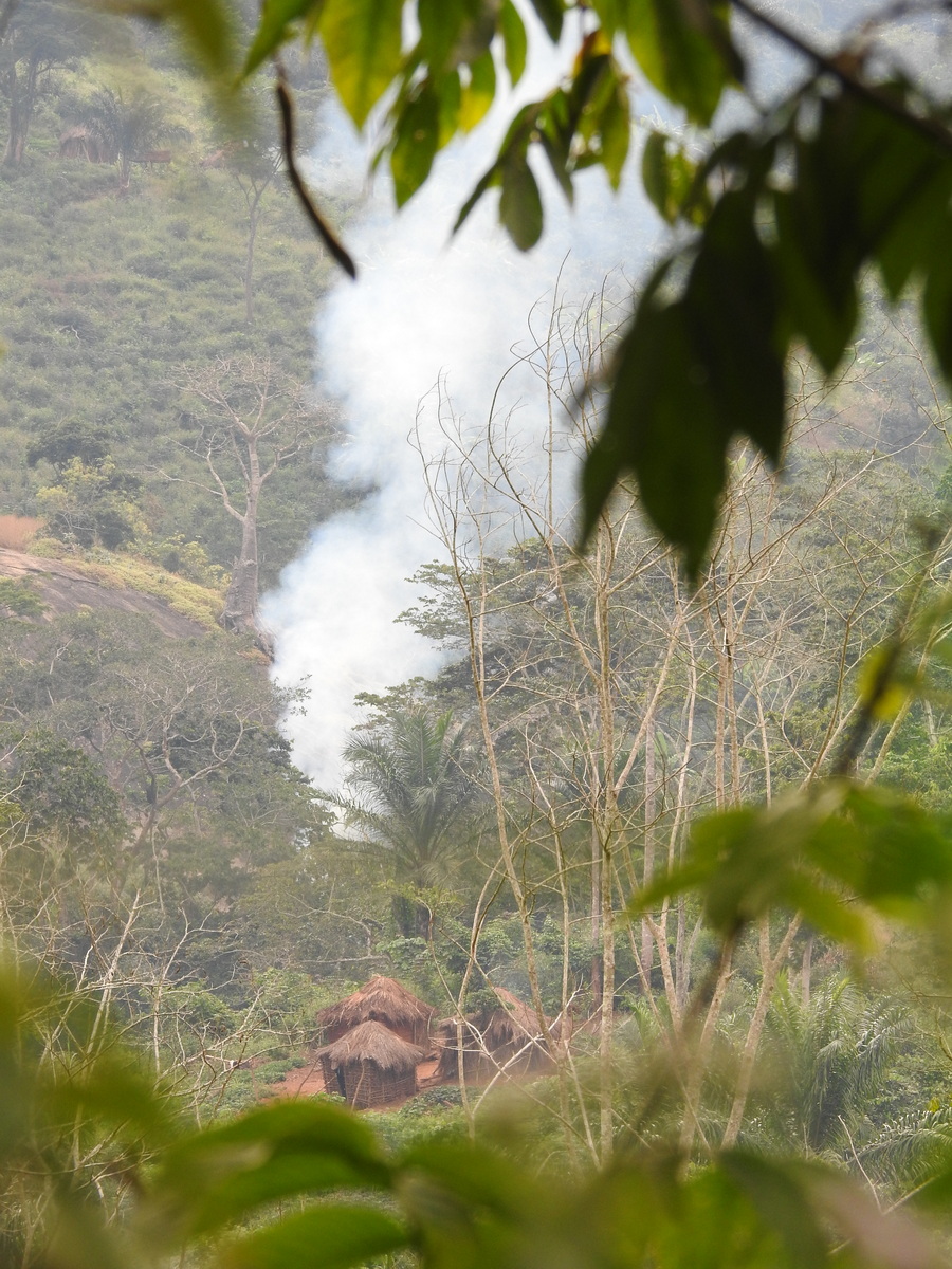
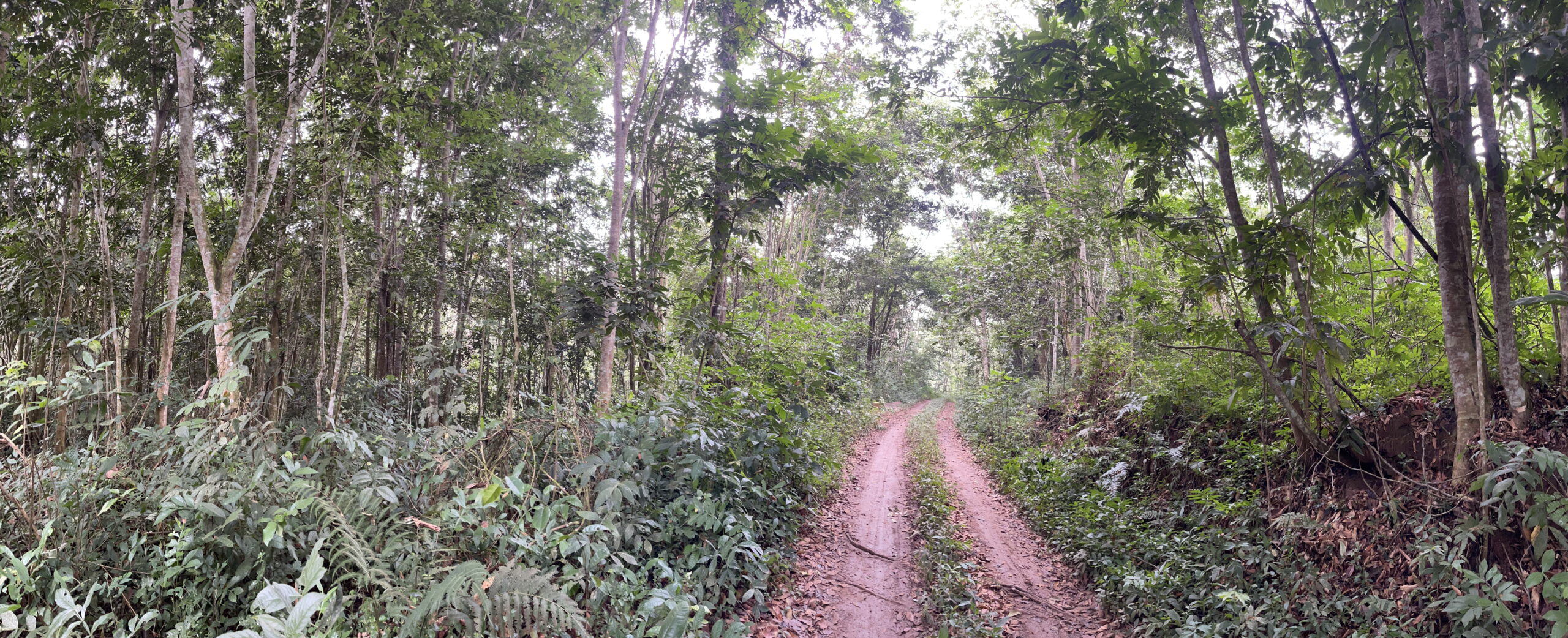
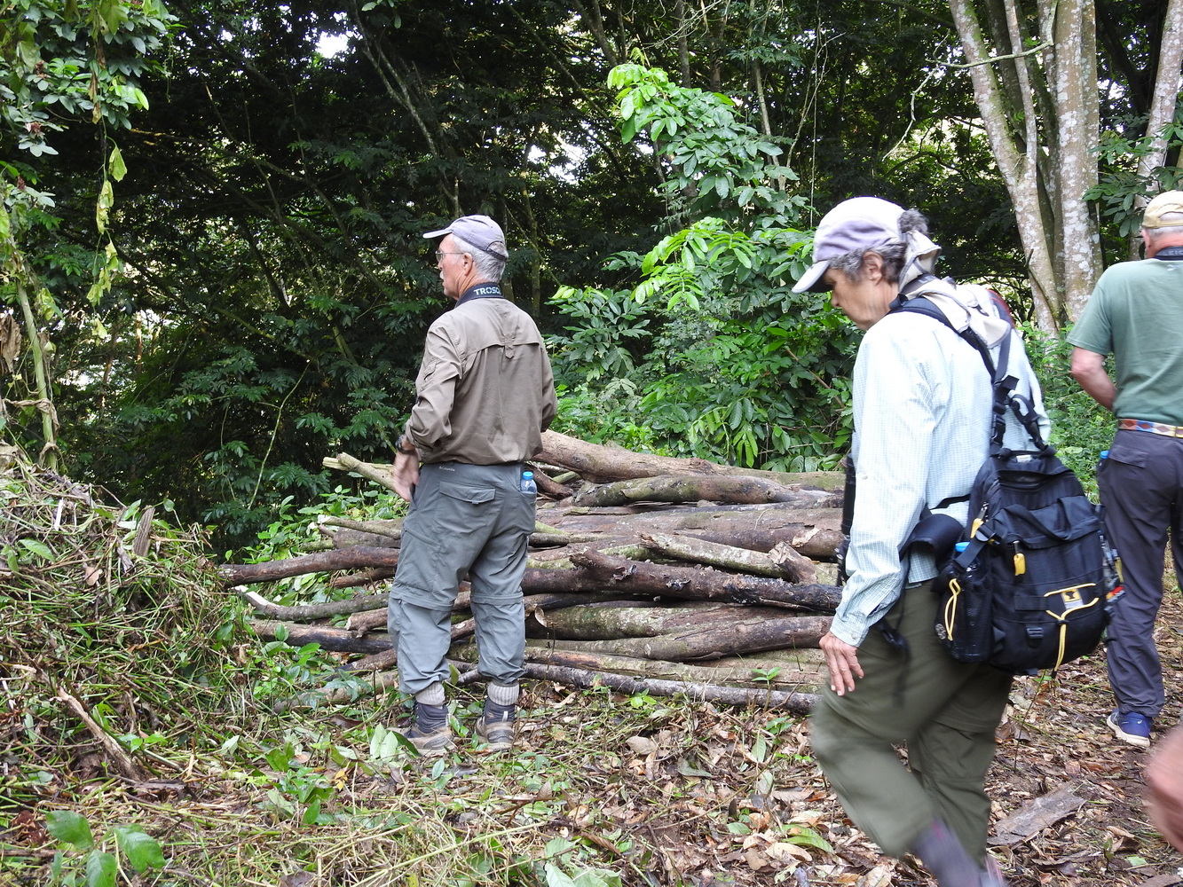
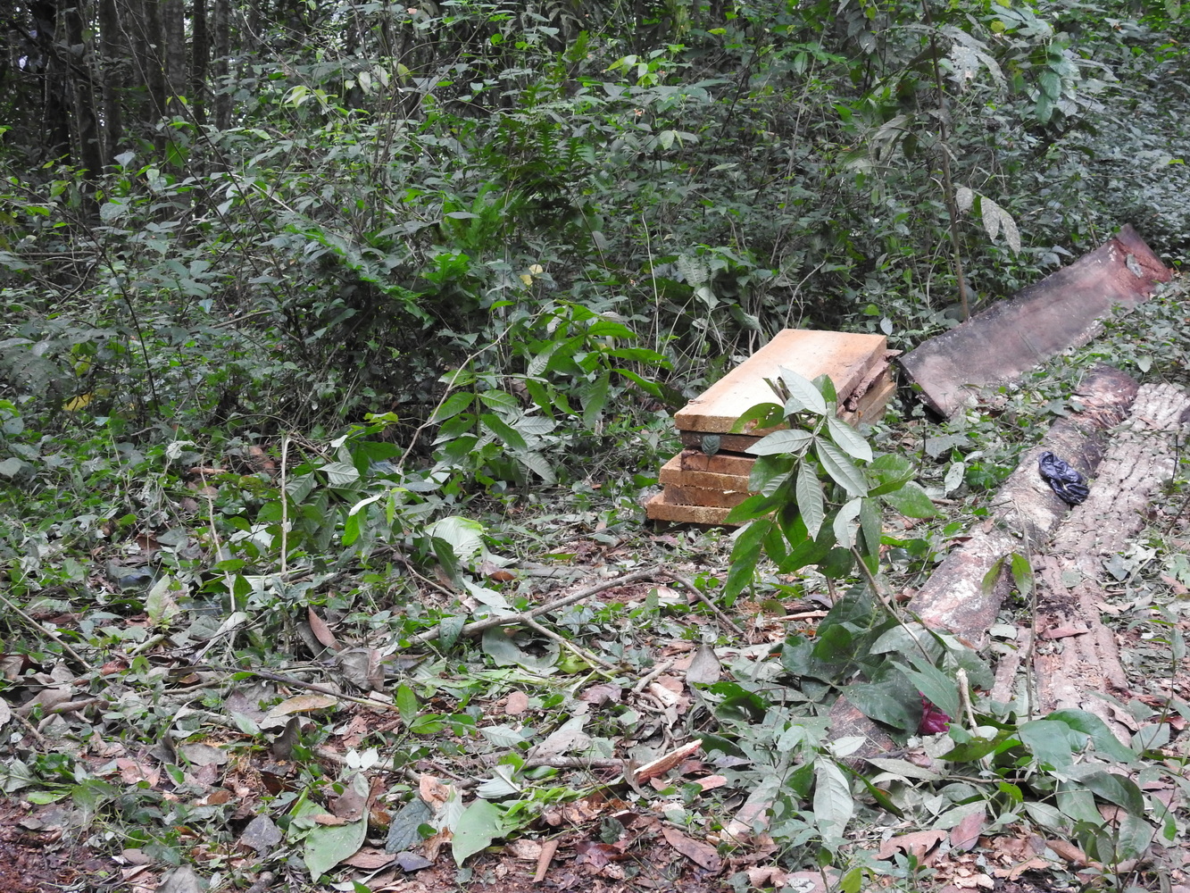
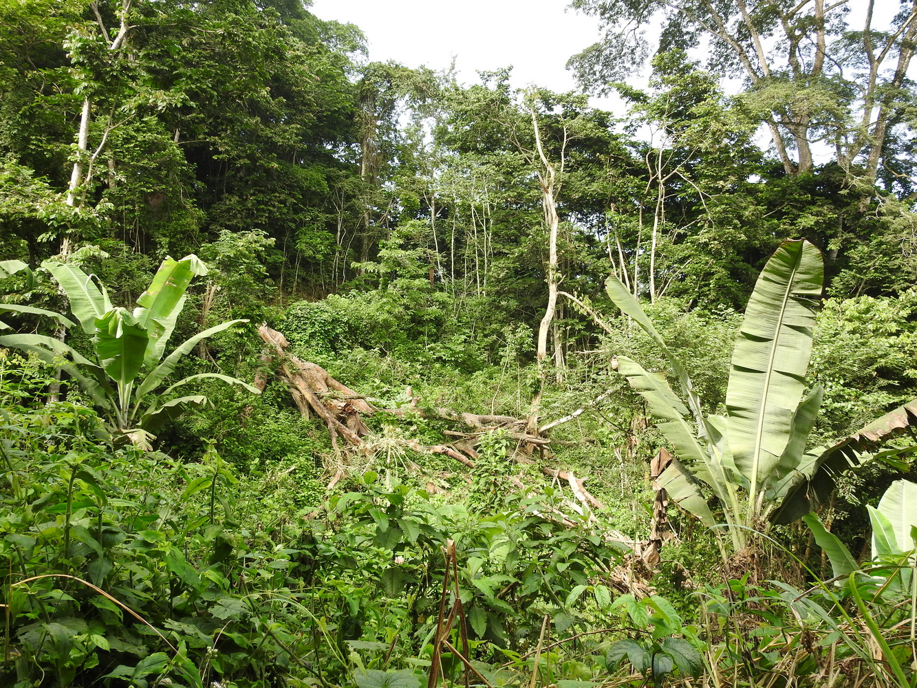
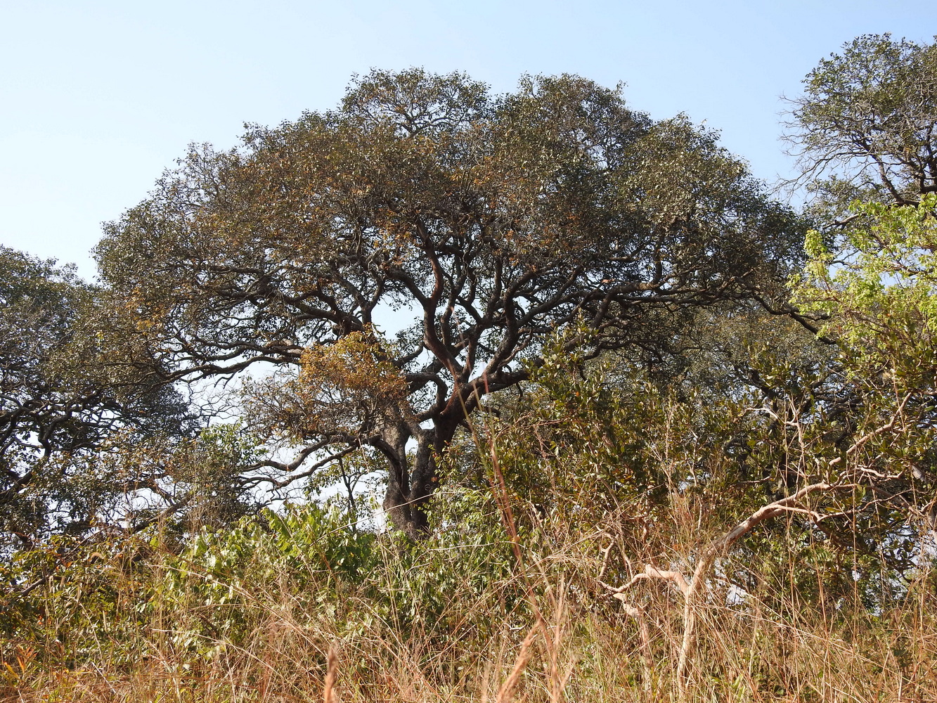
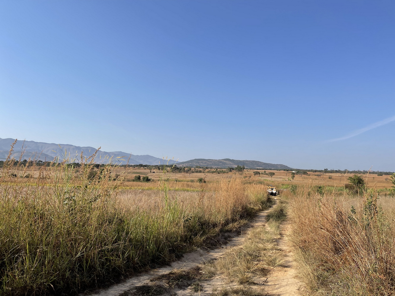
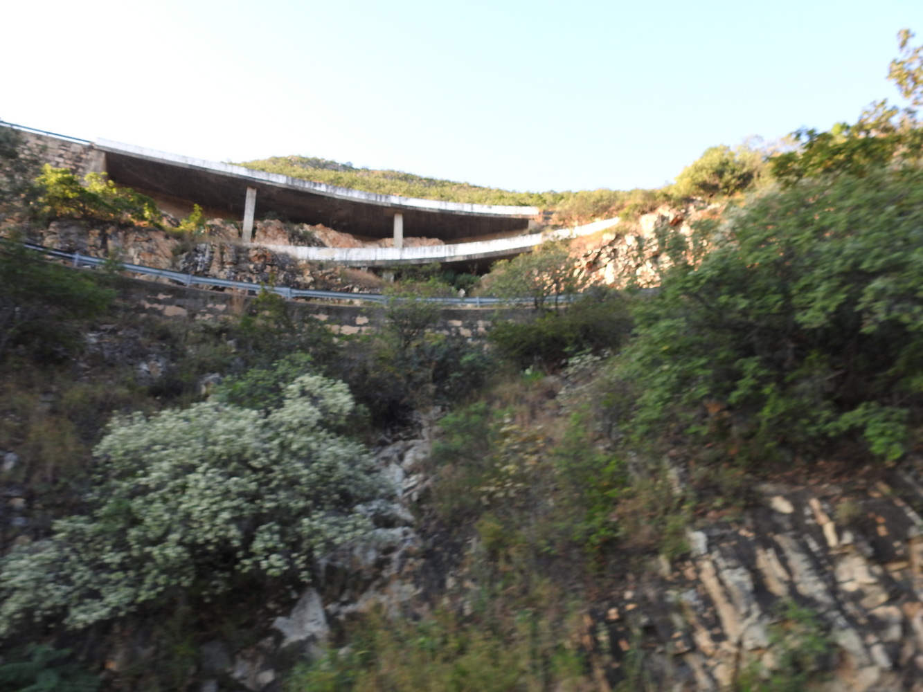
The forests near Üige are part of the northern escarpment forests, which is under threat now from logging and deforestation.
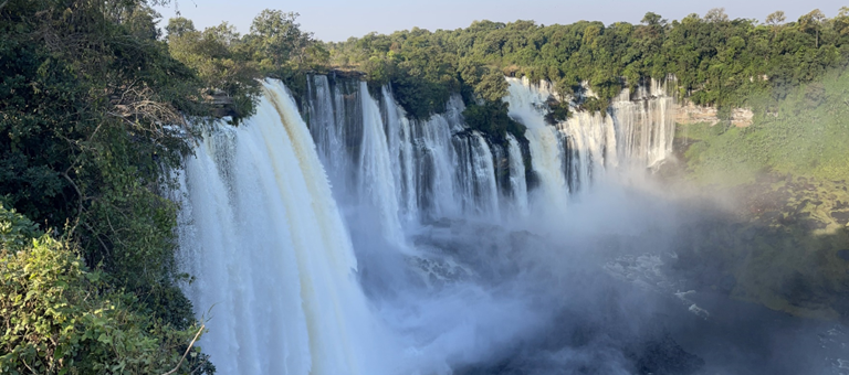
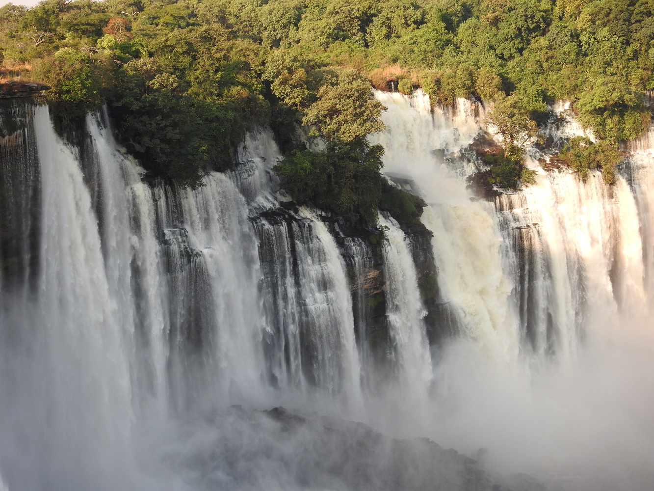
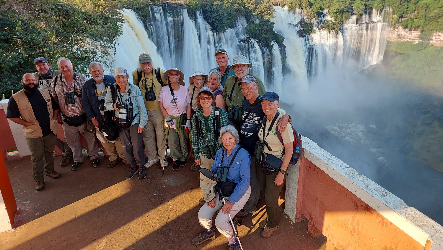
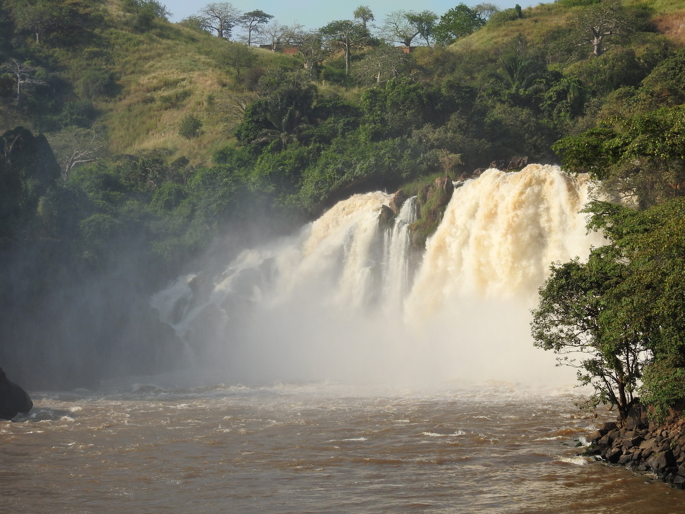
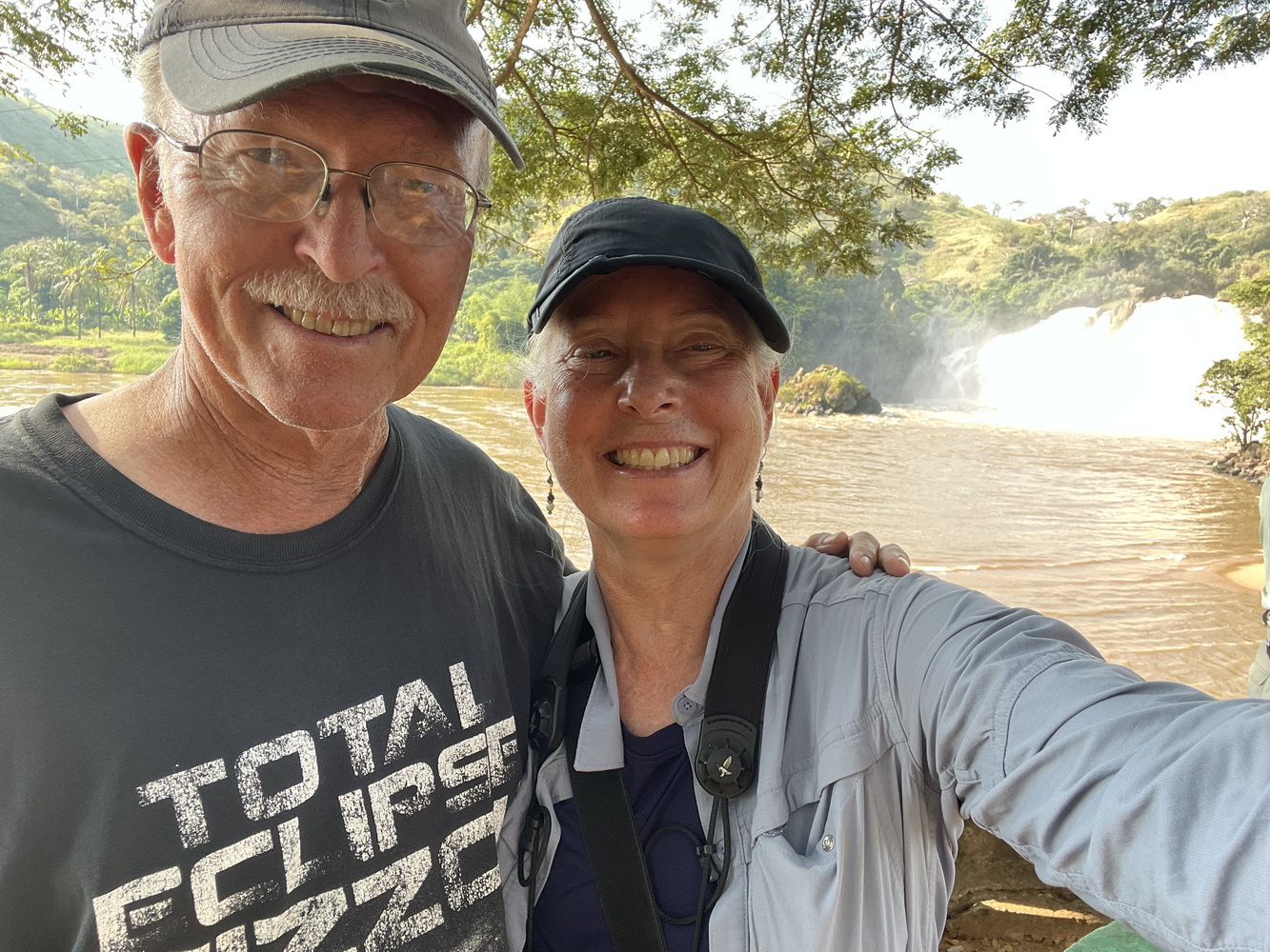
Calandula Falls
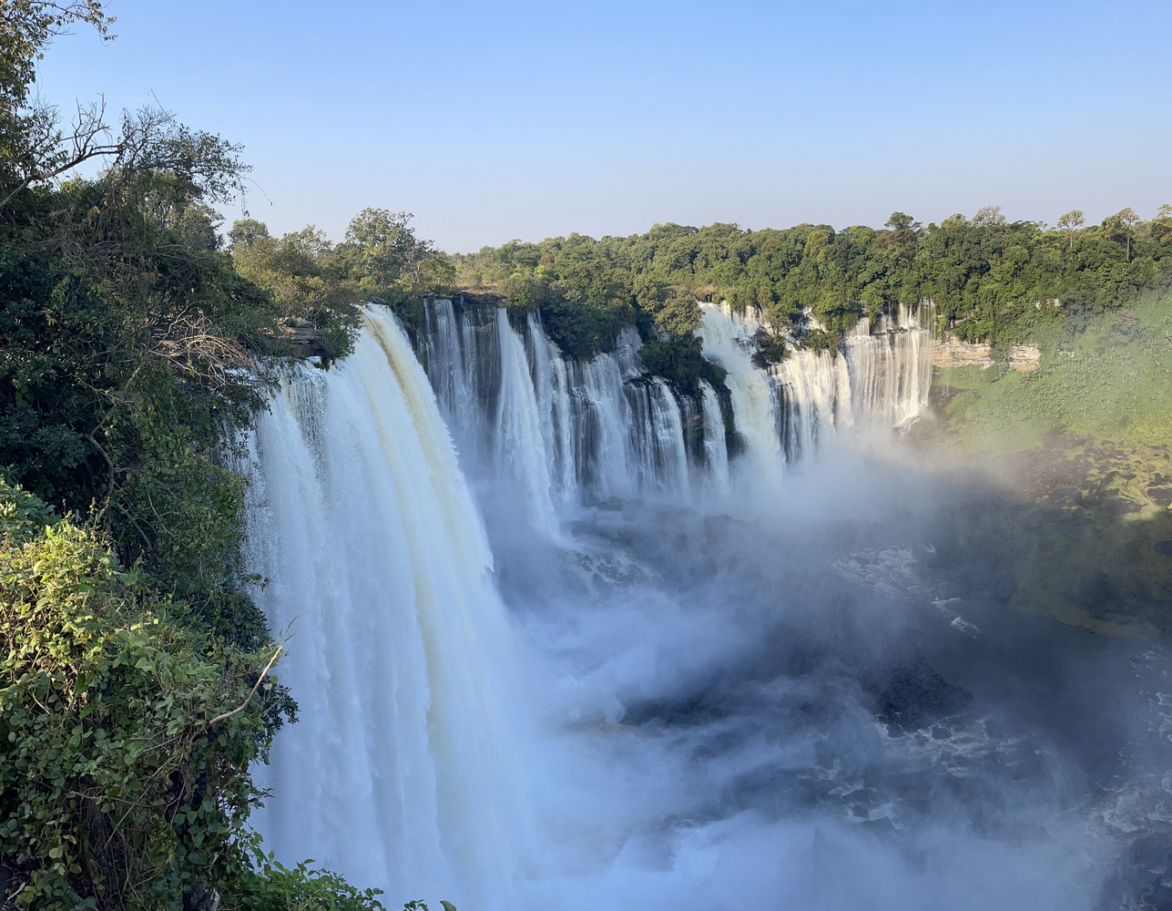
Calandula Falls (or Kalandula, or Cachoeiras de Kalandula in Portuguese) are either the second- or third-largest waterfalls in Africa, depending on how you measure them. In addition to seeing the falls, we also birded in the Kinjila Forest and along the Lucala River.
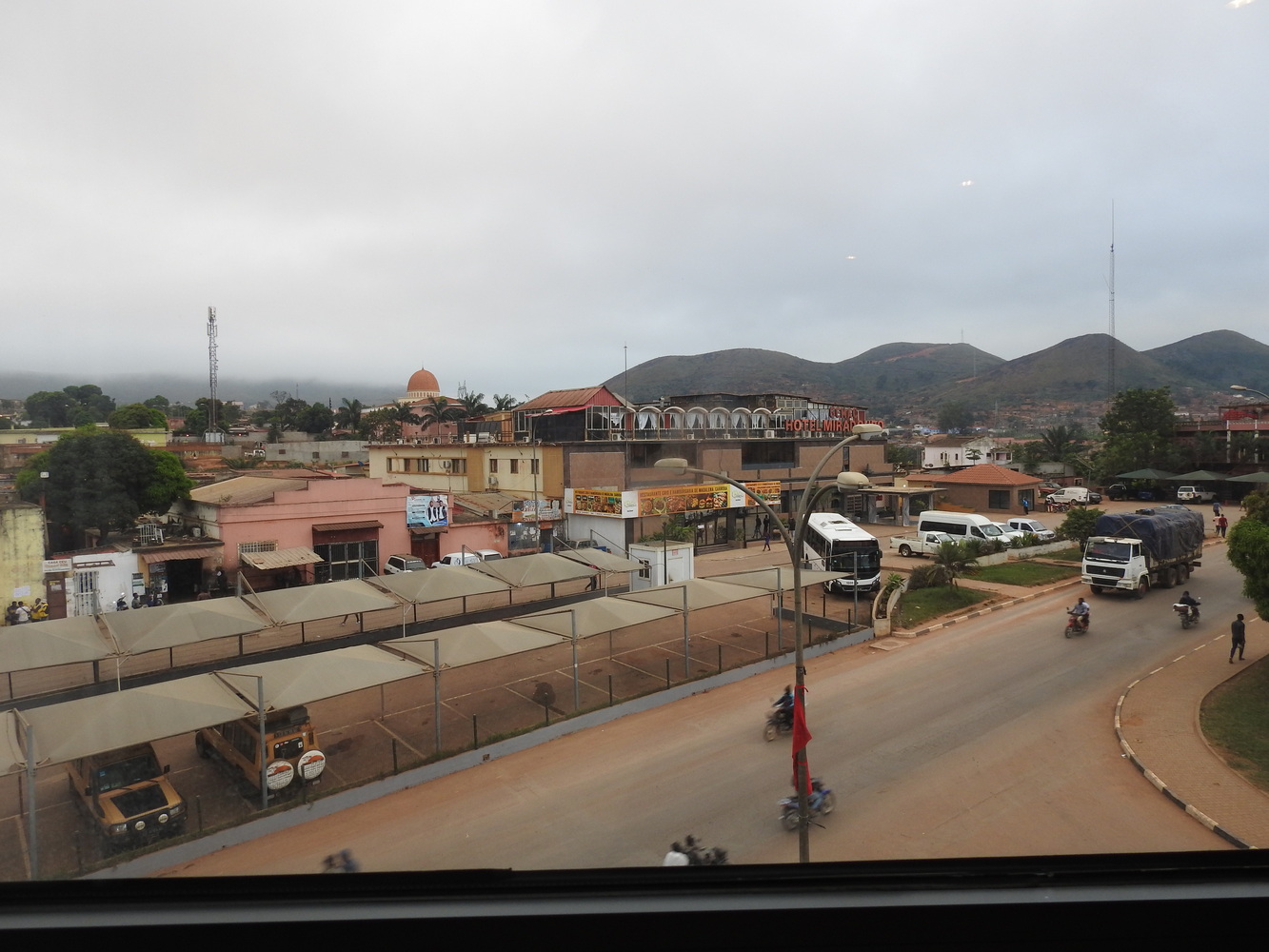
On to N’Dalatando
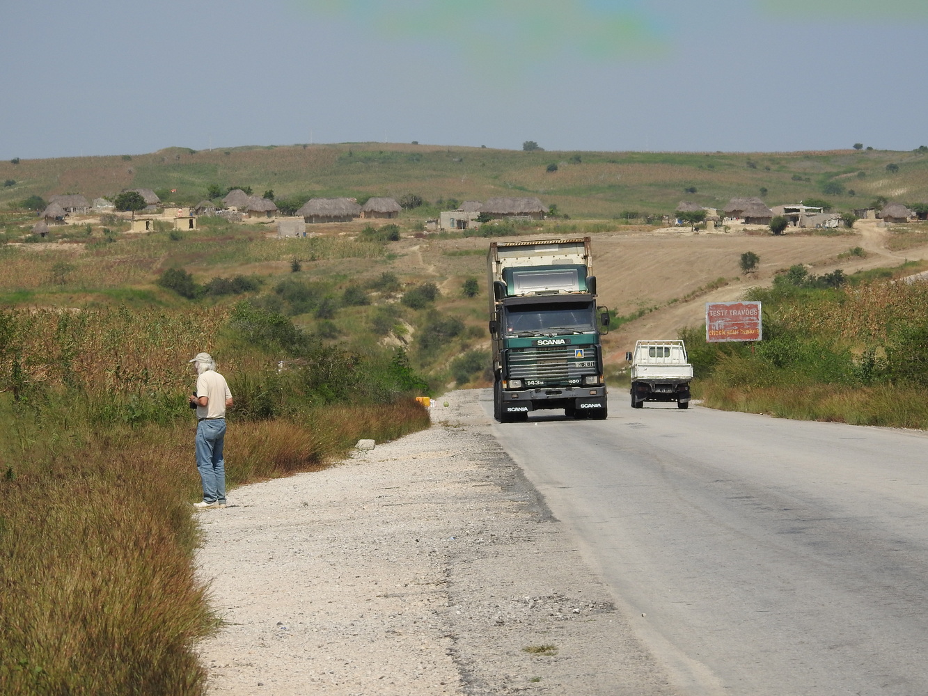
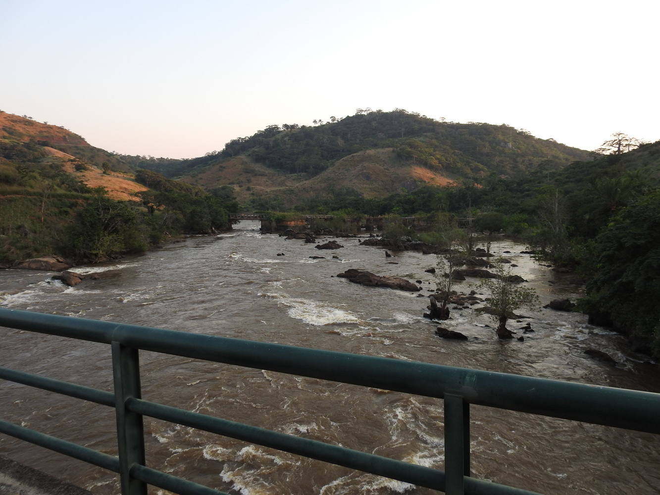
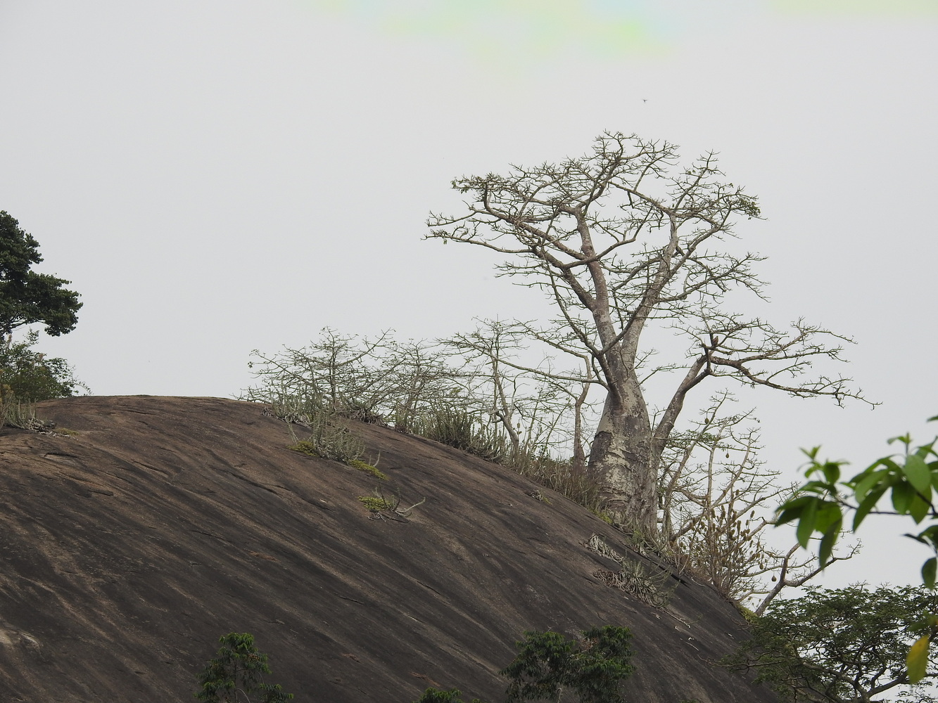
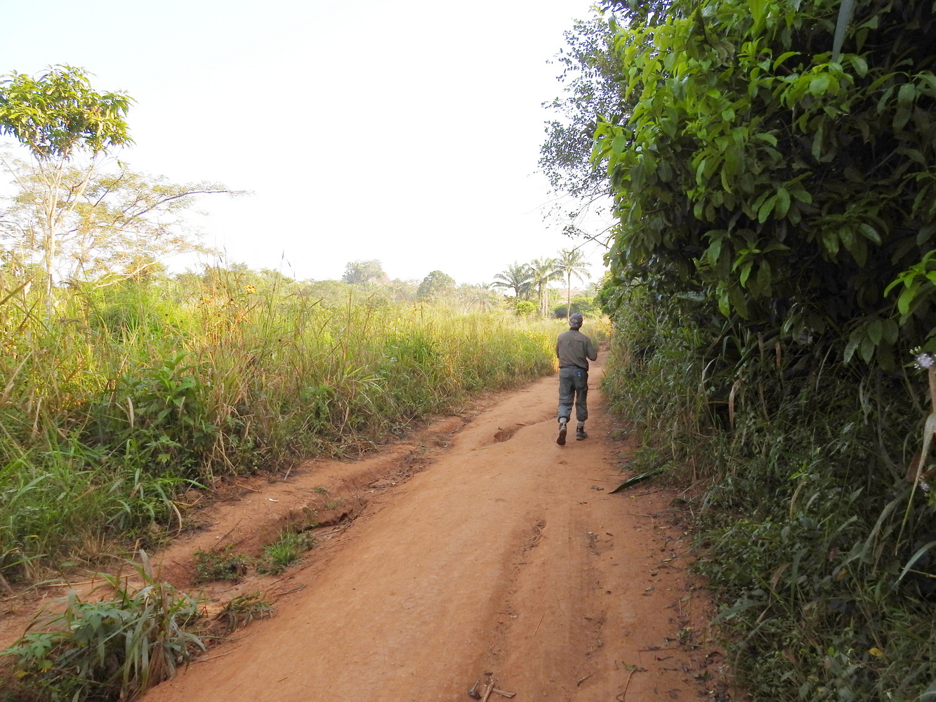
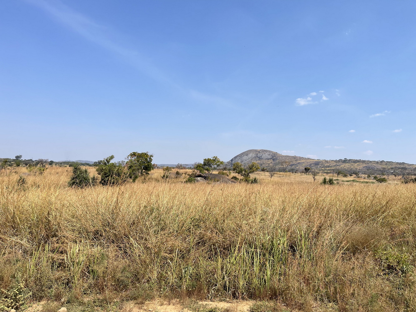
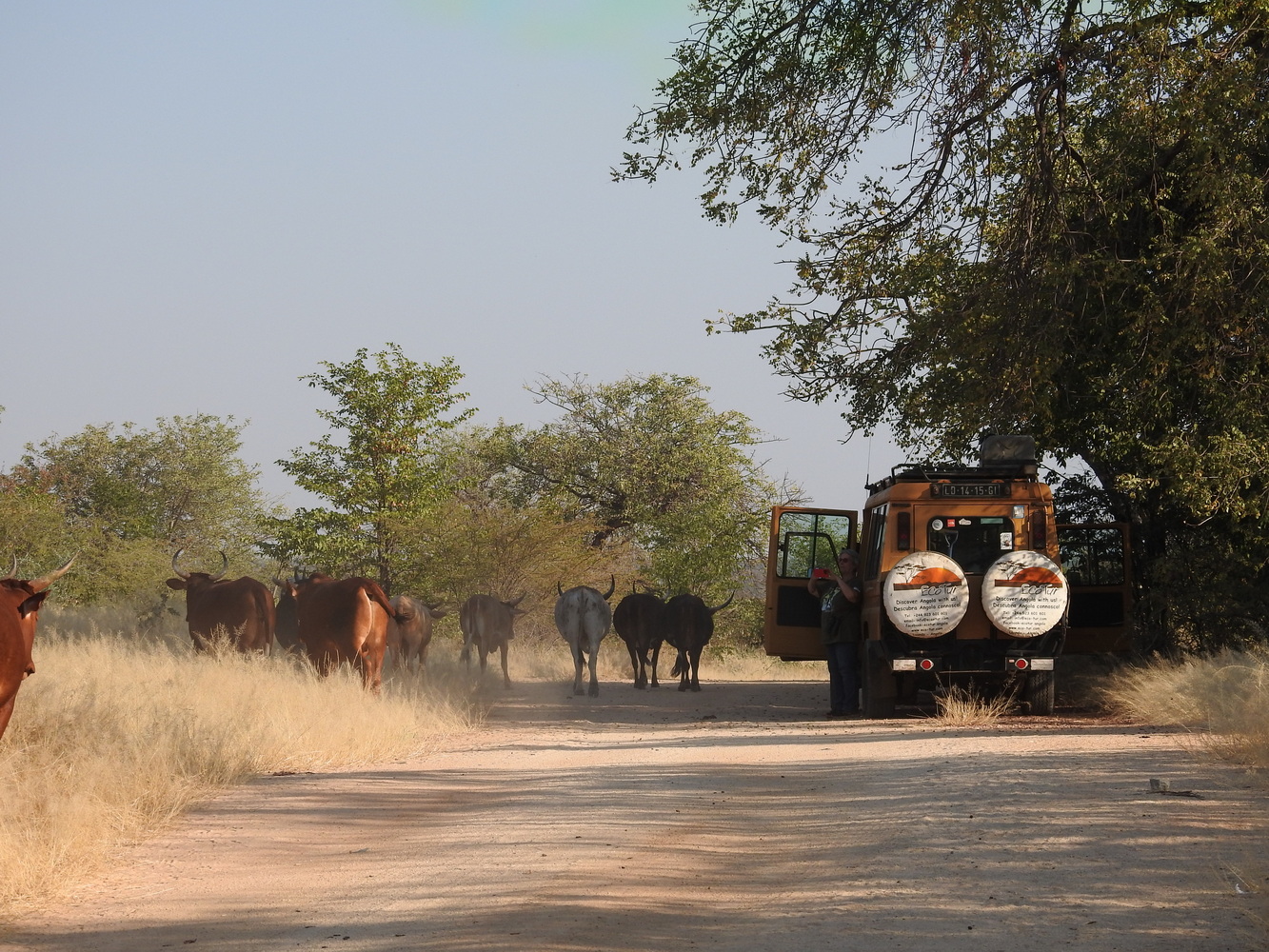
Our next destination was another long drive away. We birded along the way, particularly at a massive outcrop known as Piedras Negras (or Pungo Andongo) in the mid-day. These massive rocks were deposited by glaciers. The area also plays a role in Angolan history – legend has it that Queen Ginga, the co-ruler of the Kingdom of Kongo, left her footprints in the rocks here. It was also a place with many battles during the civil war. Bruno found shell casings while we were here.
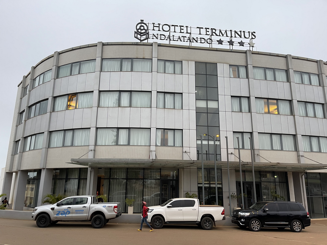
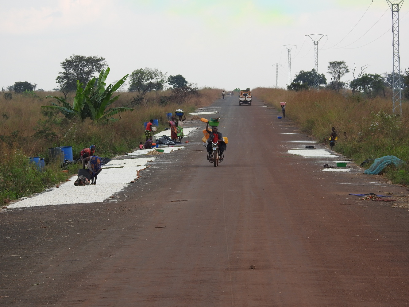
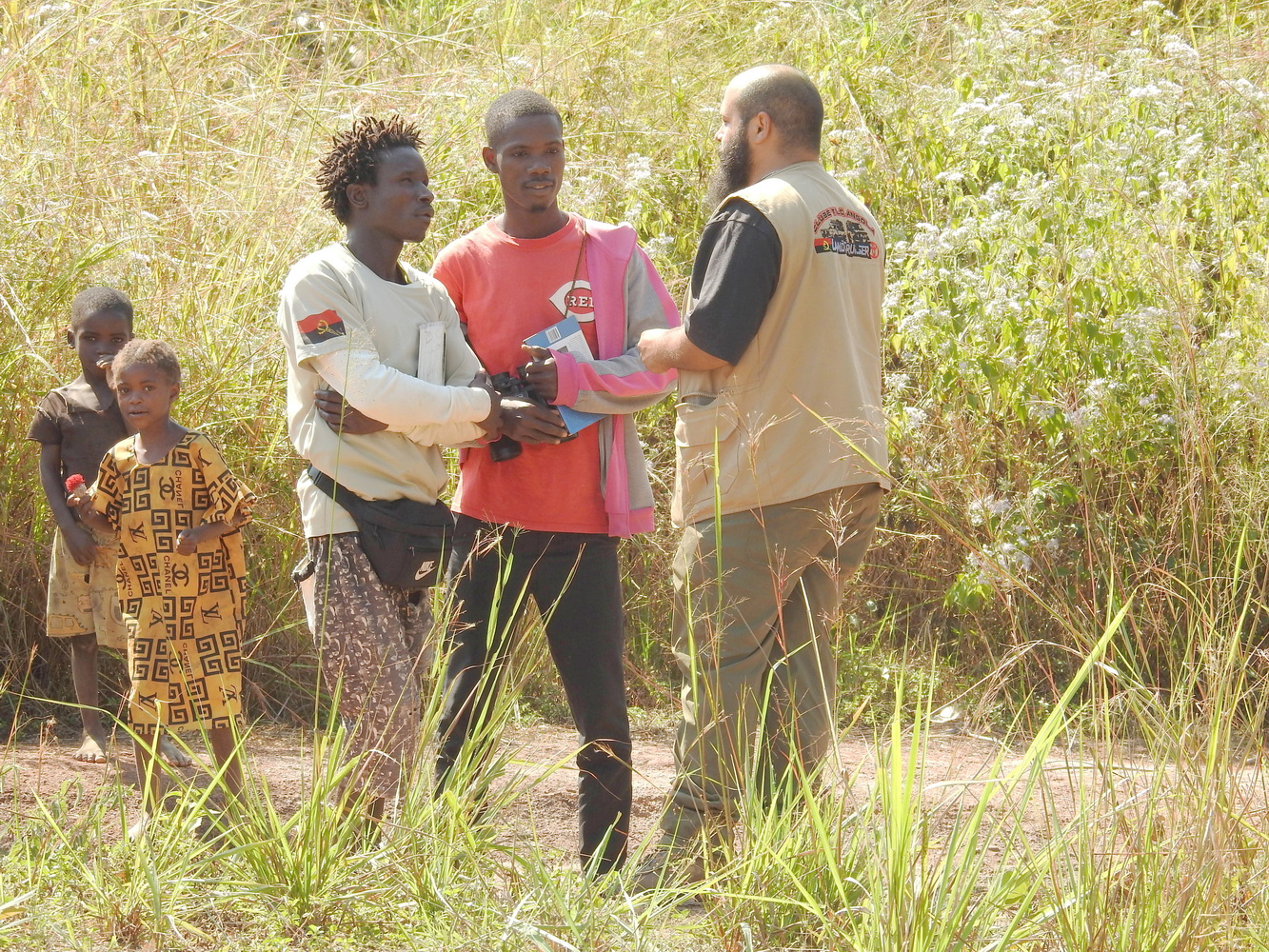
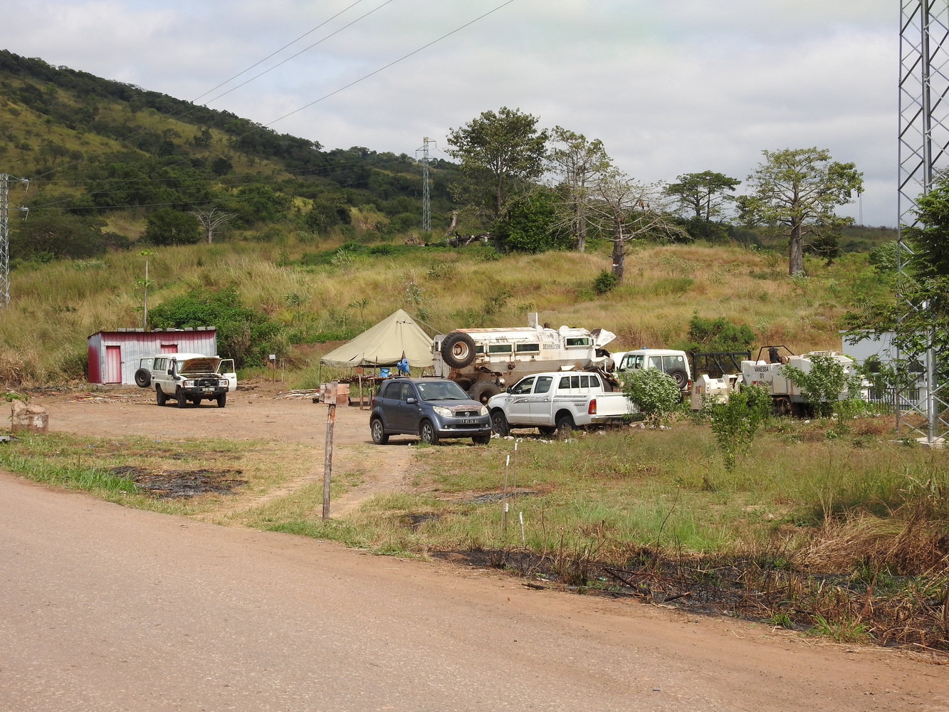
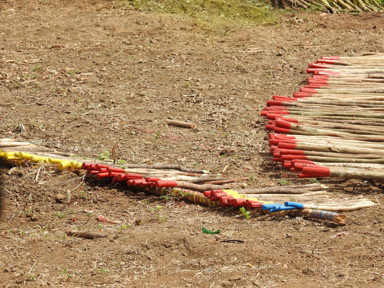
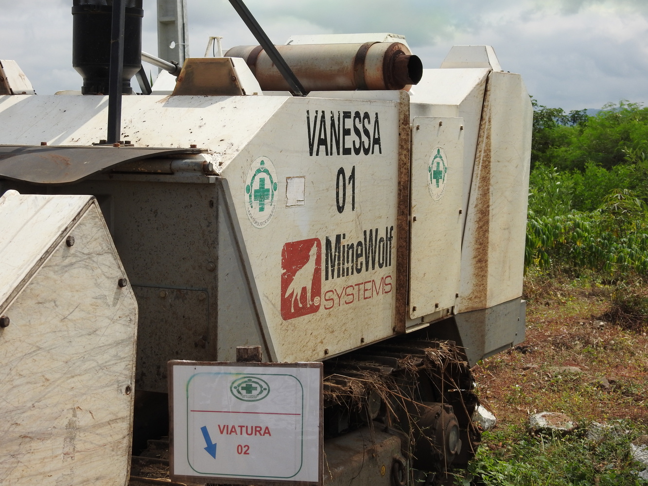
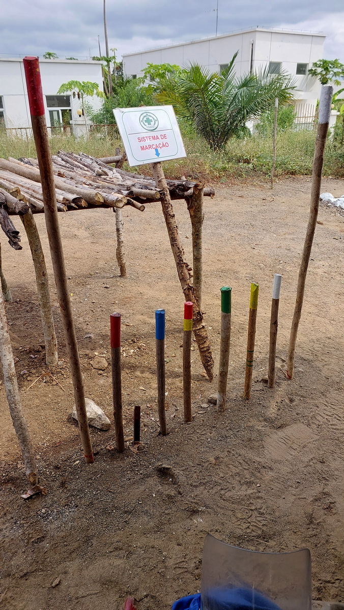
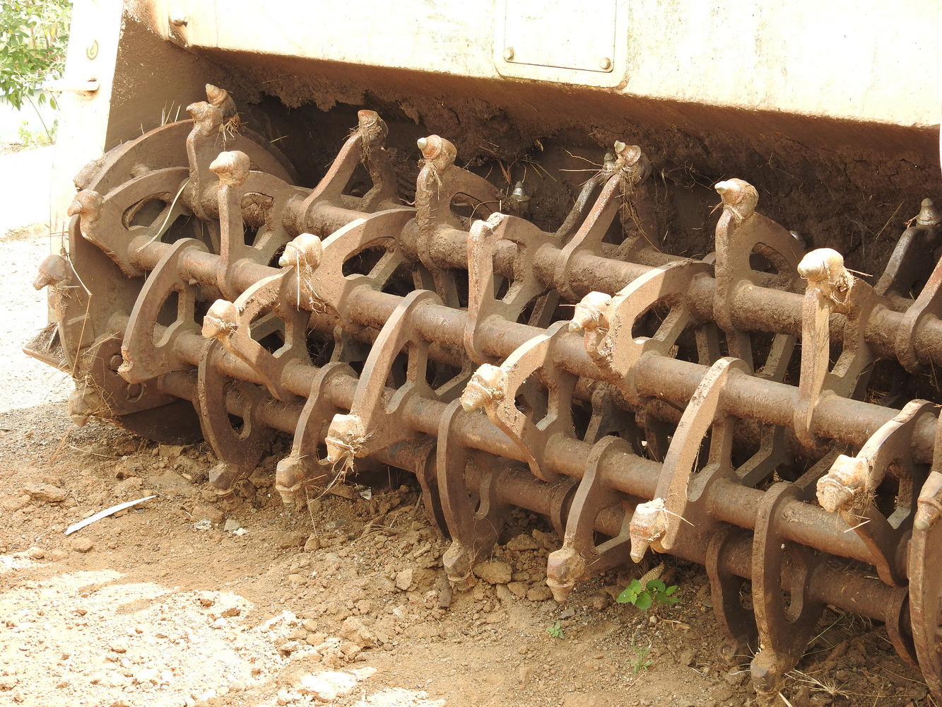
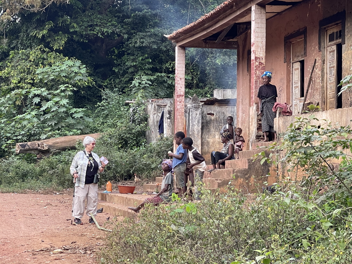
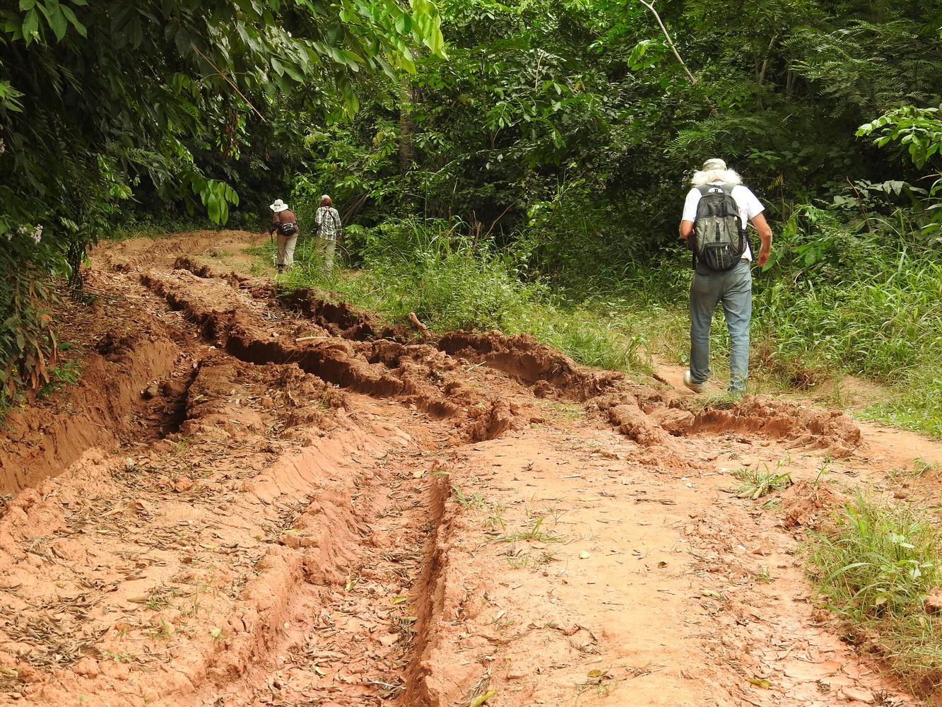
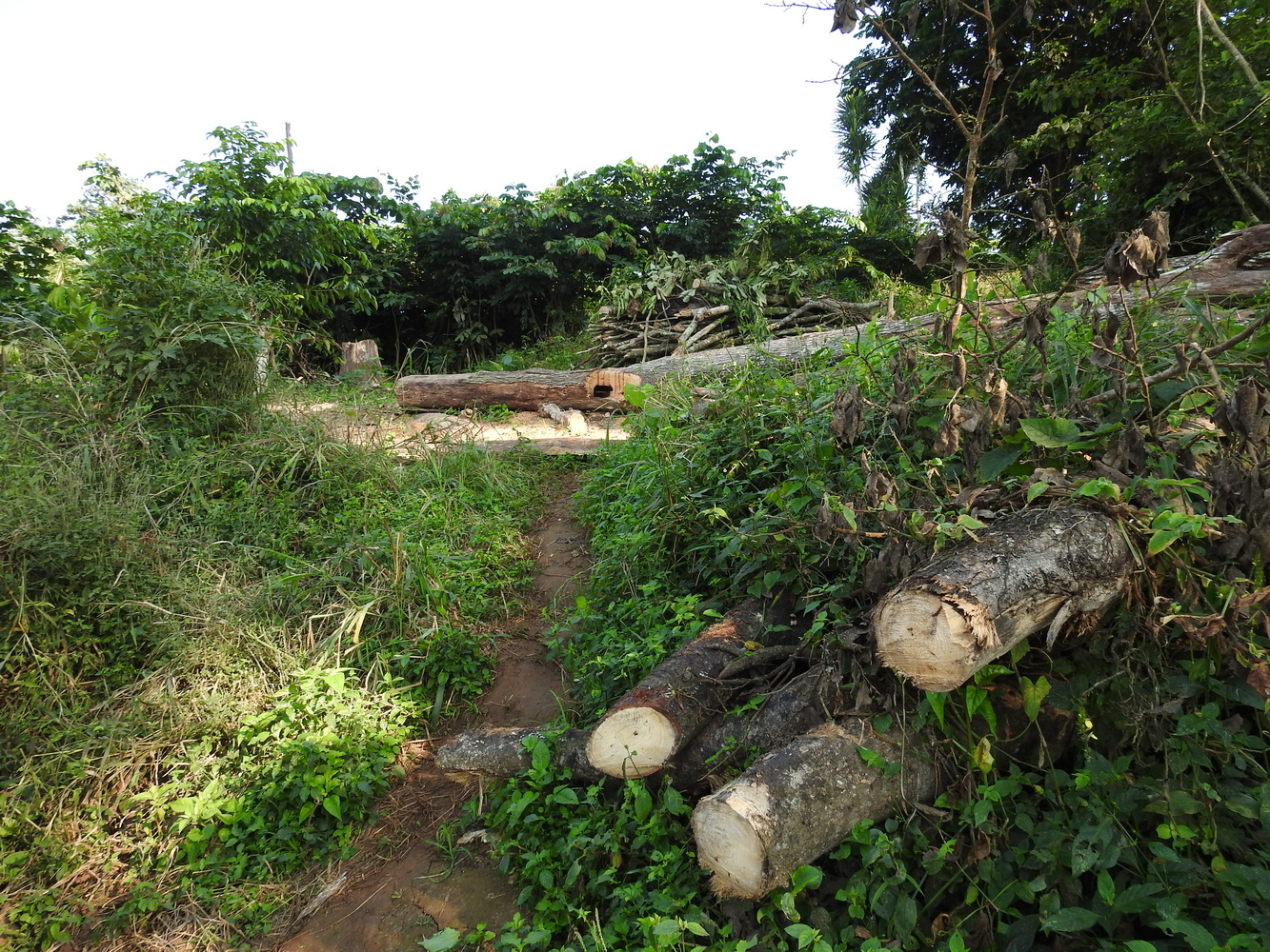
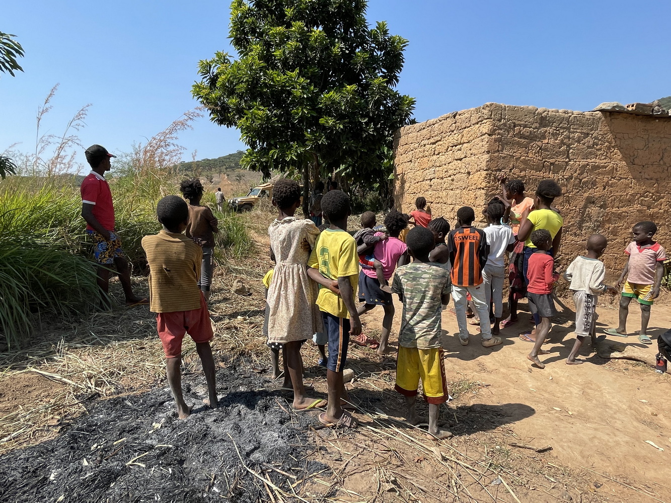
While staying in N’Dalatando, we birded the Tombingo Forest several times. We also went to bird at another site along the Lucala River. We found what looked like a security checkpoint. It turned out to be a de-mining operation, funded not by the Angolan government but by a Norwegian relief agency. The manager gave us a briefing on their work and methods. The colored tops of these wooden stakes are the only way you can tell whether an area is still mined or what status of clearing it’s in. They’ve been working on de-mining in Angola since 1995, he said, and are about half-way done!
From N’Dalatando Back to the Atlantic
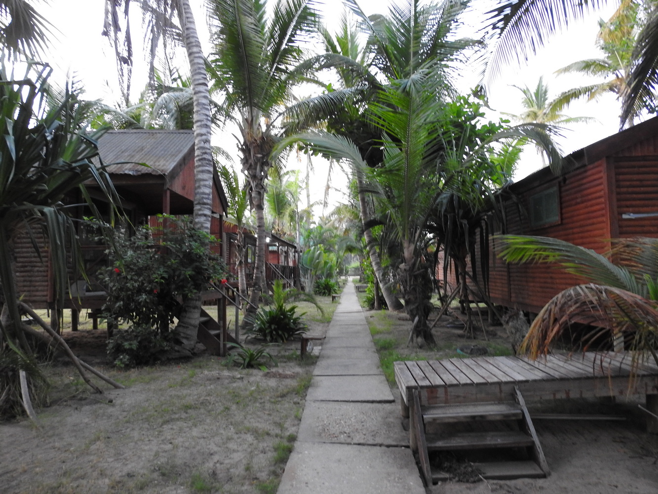
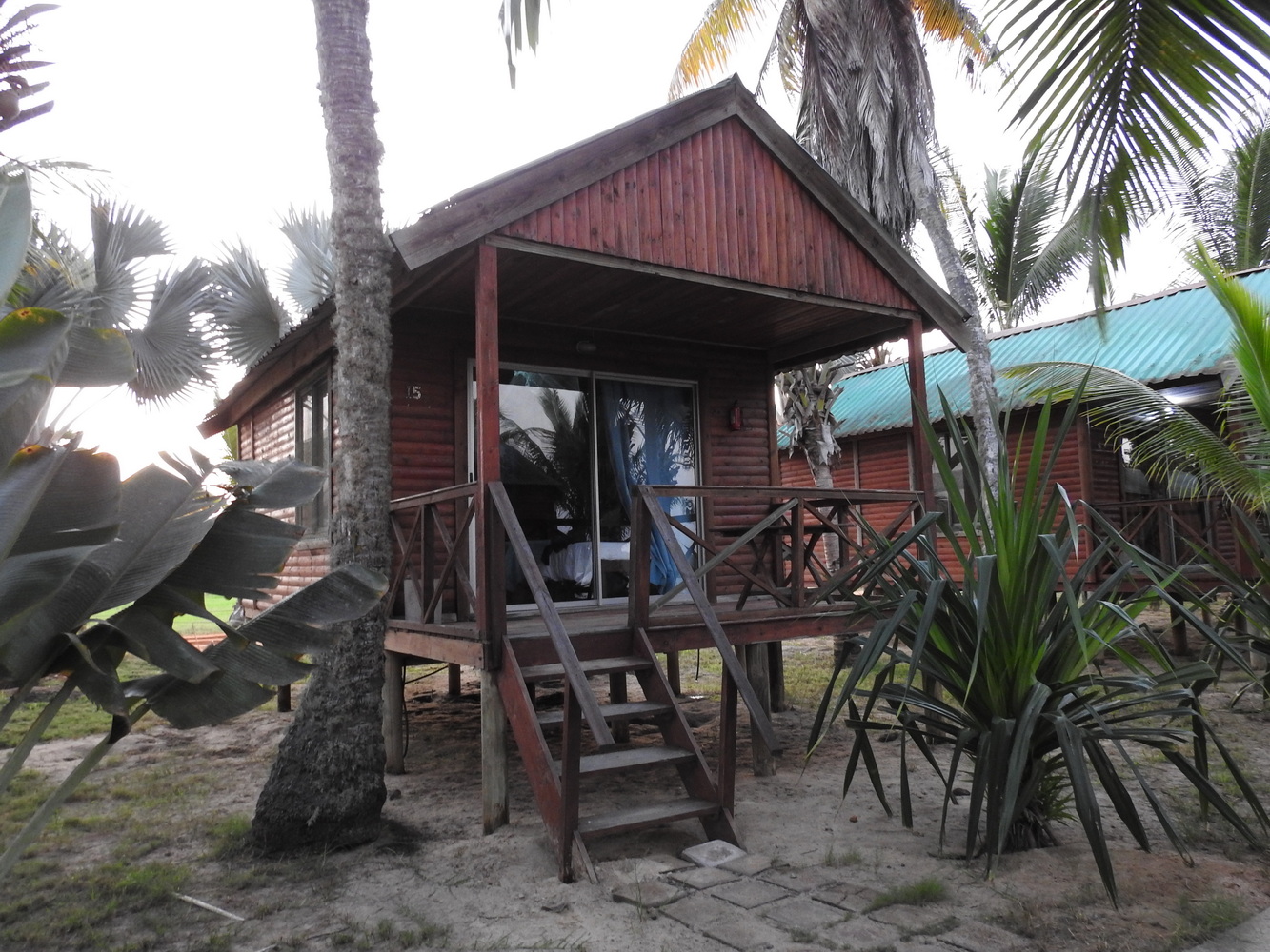
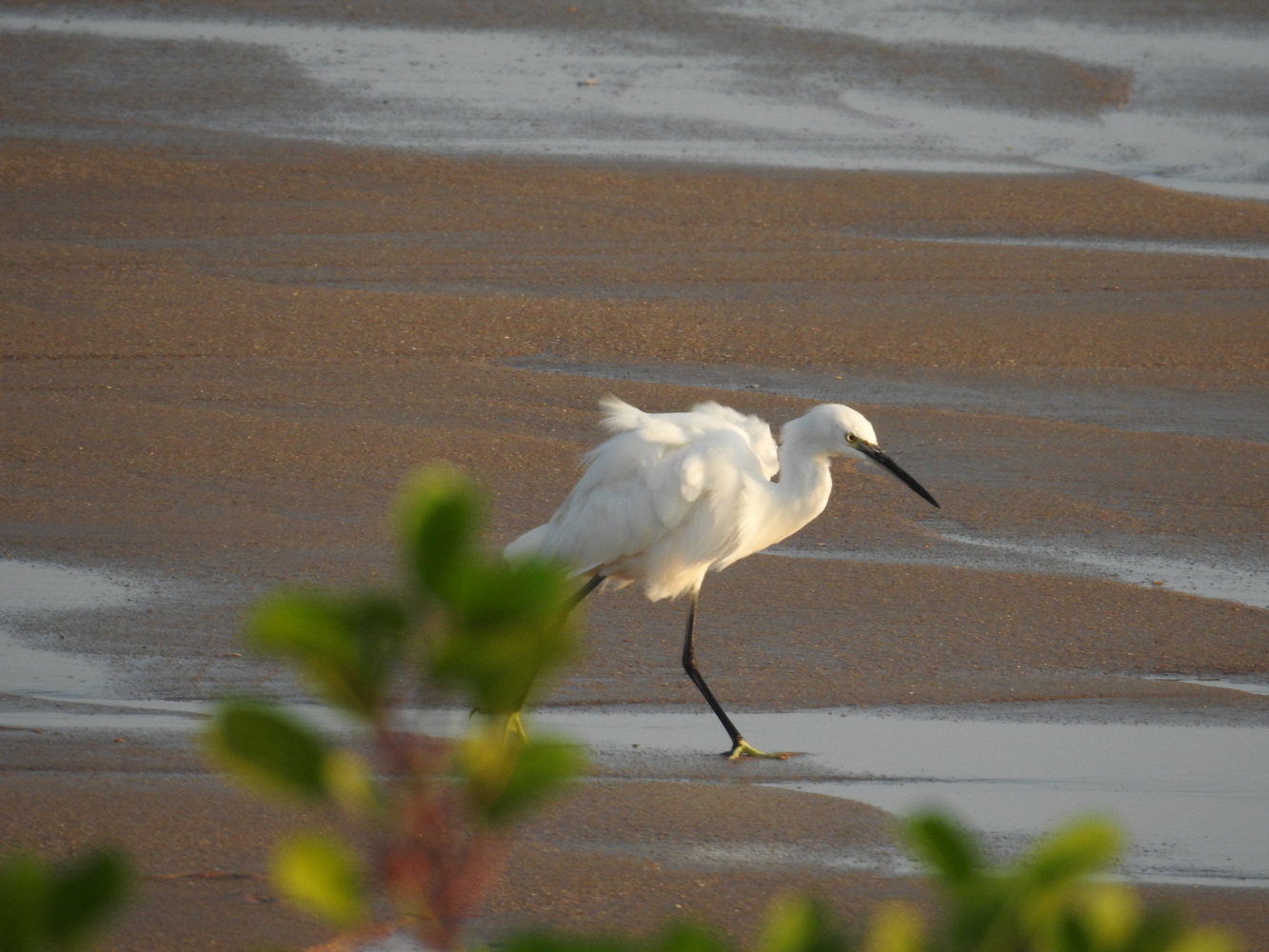
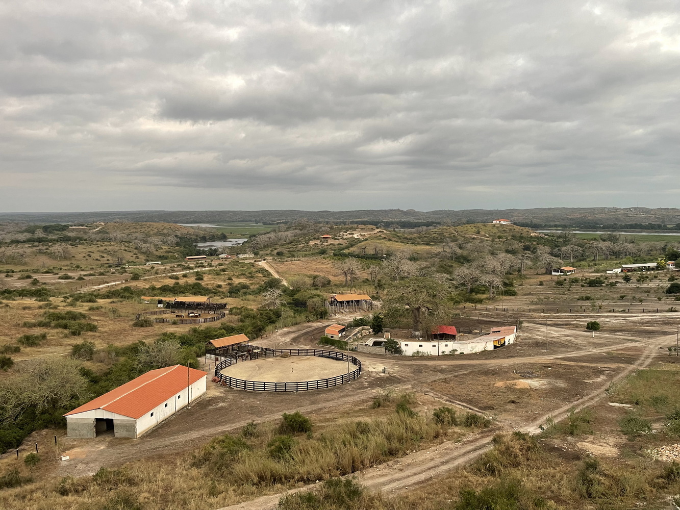
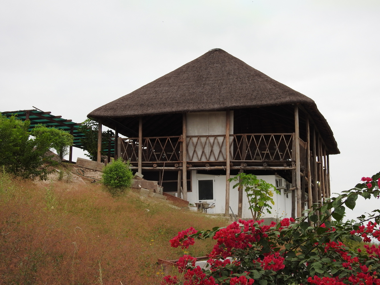
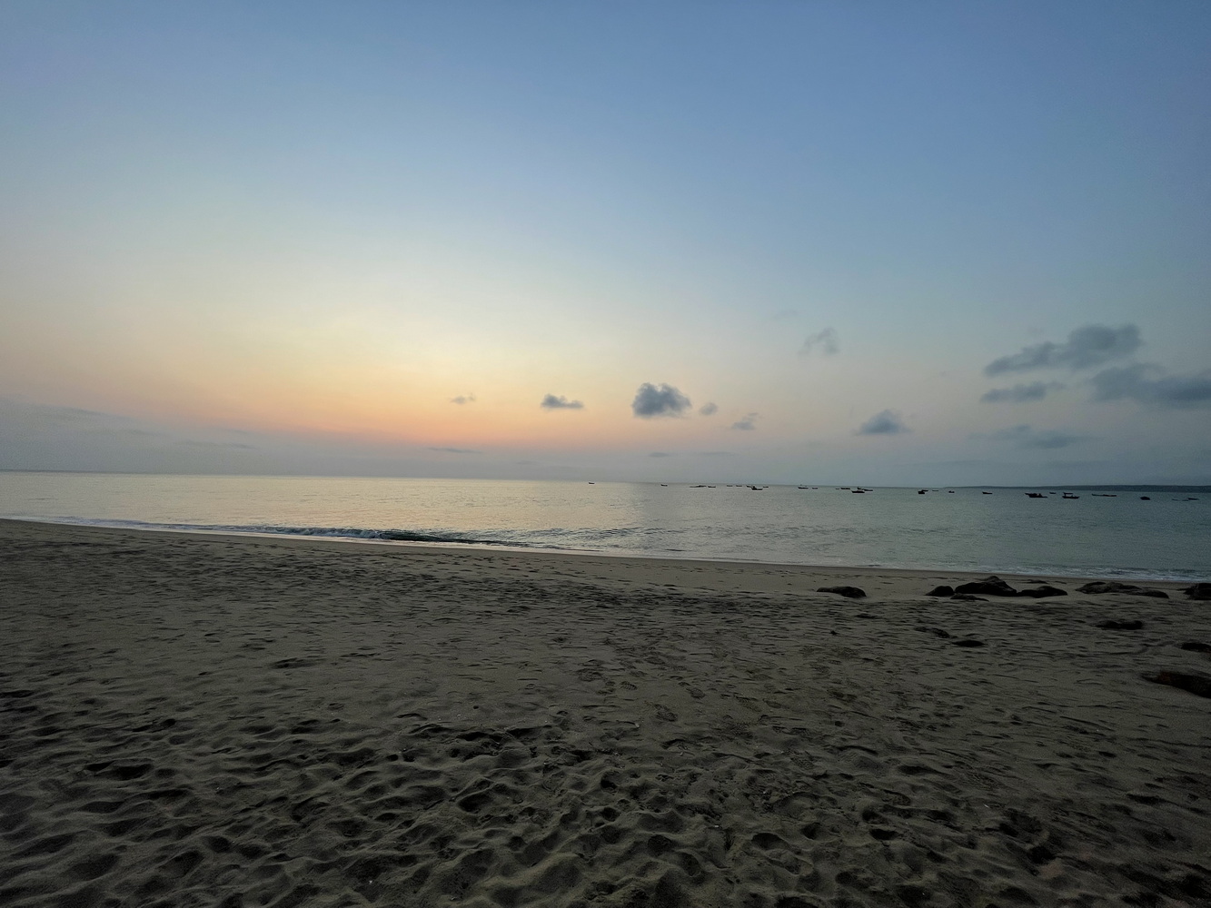
From N’Dalatando, we continued traveling to the west, spending one night at a new lodge on a fazenda and another at a beach lodge on the Atlantic Ocean.
Back Inland to the Kumbira Forest
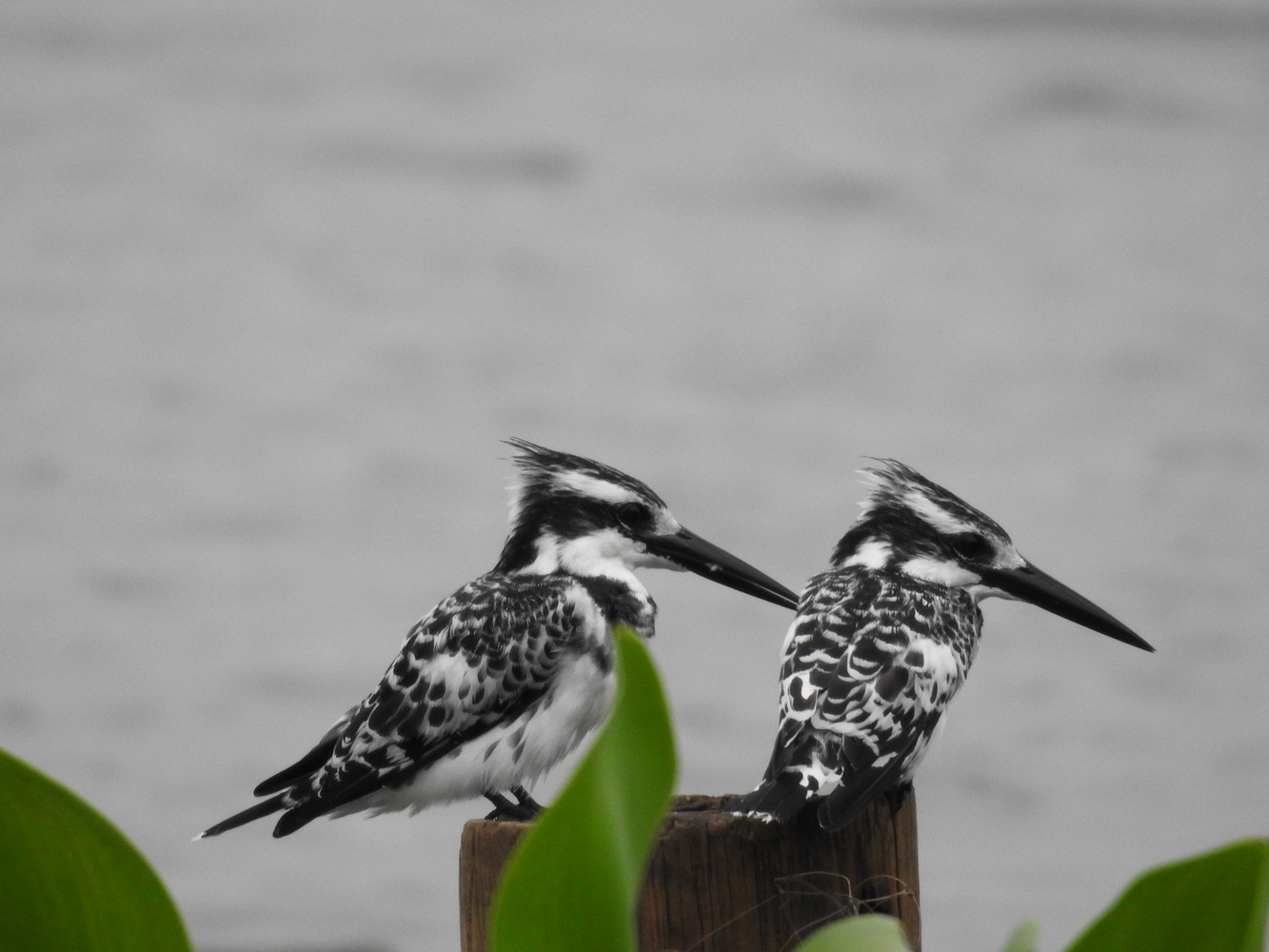
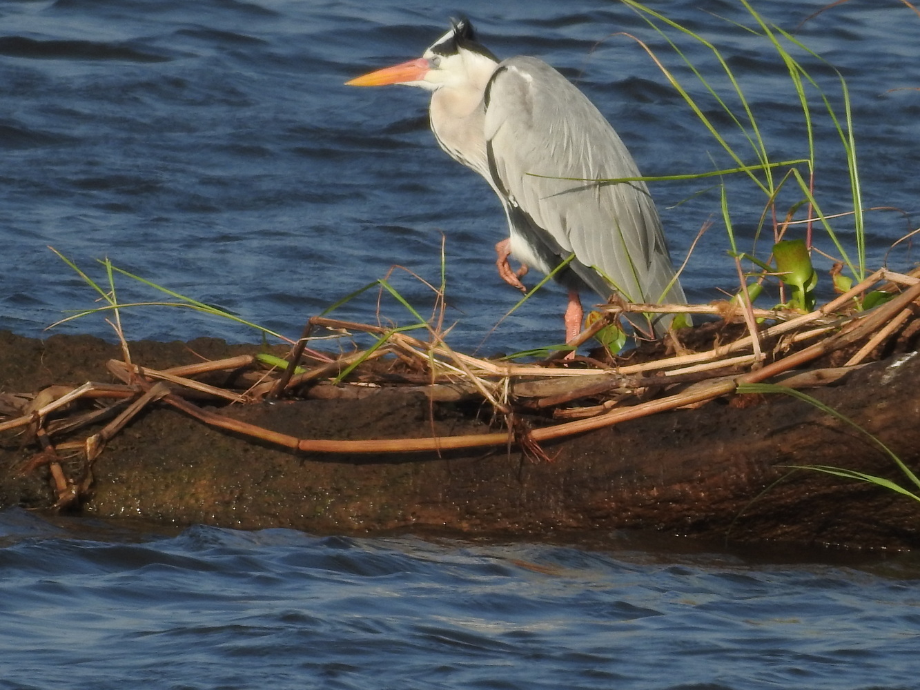
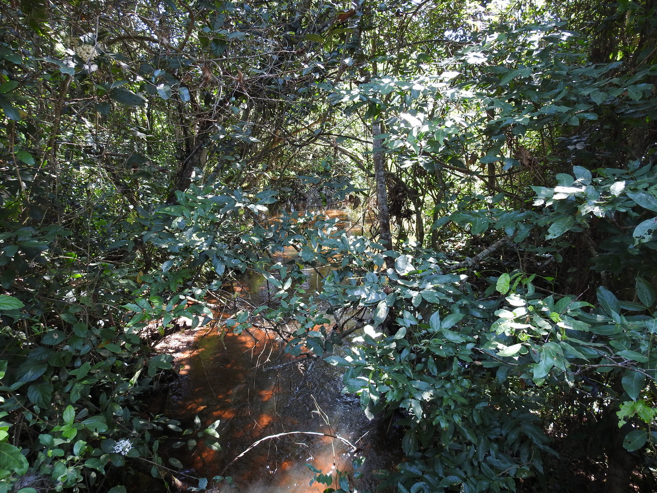
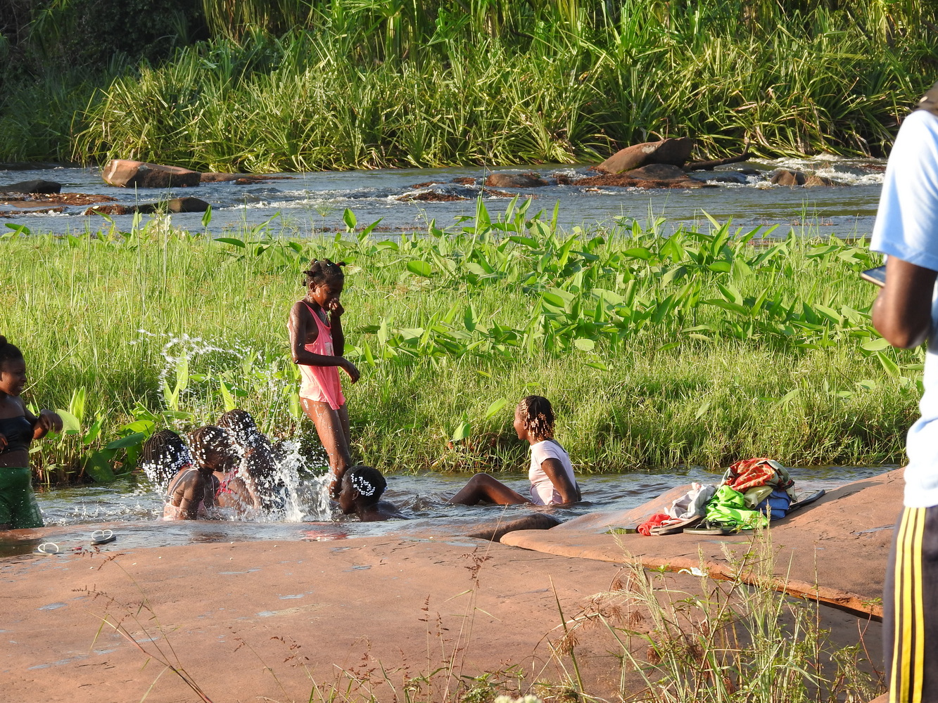
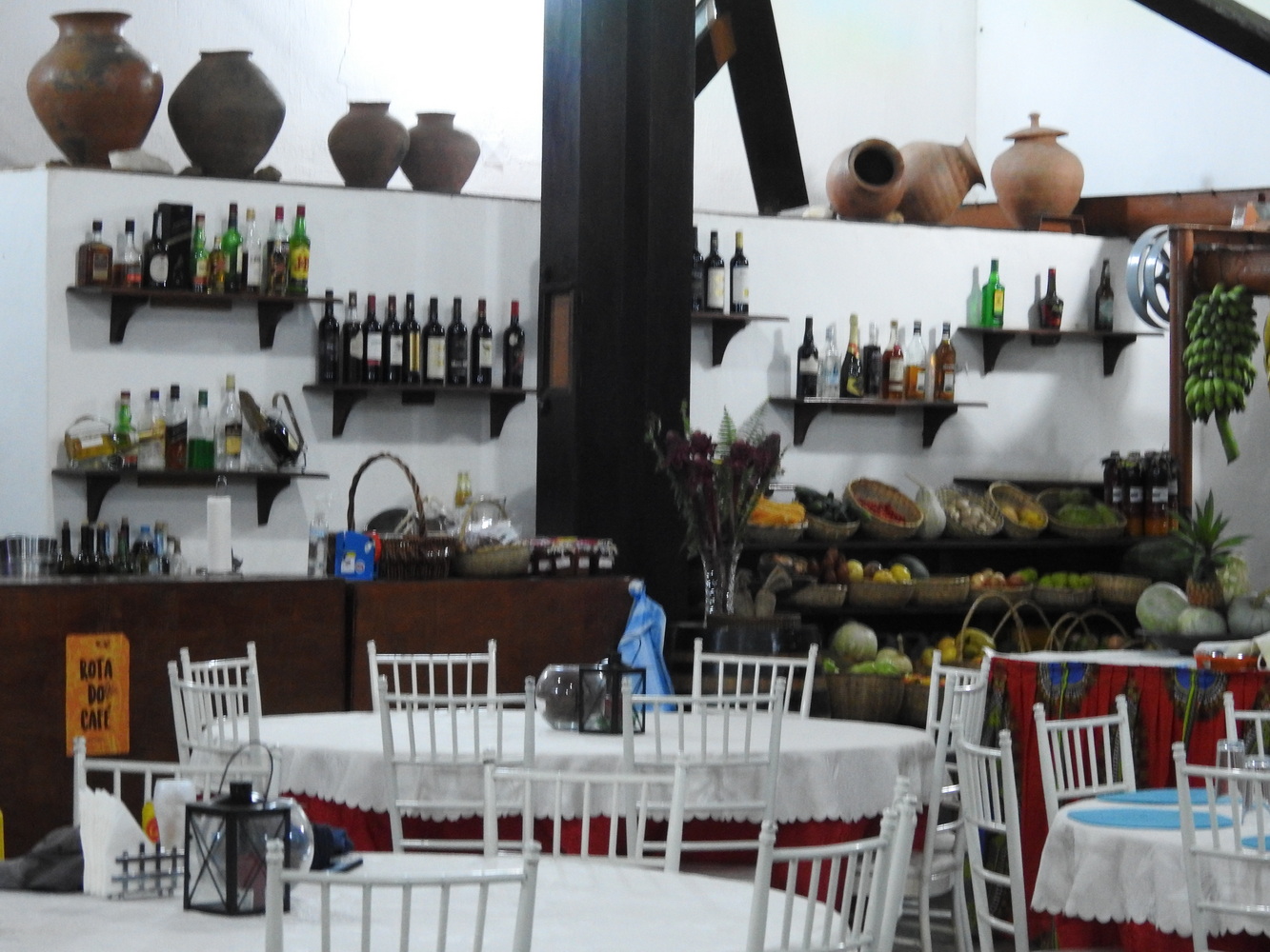
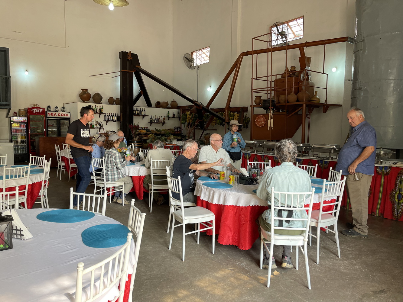
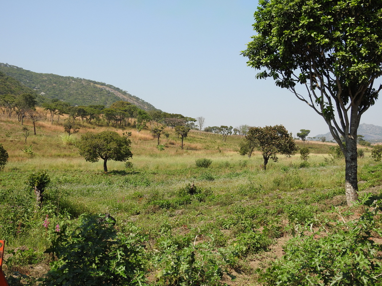
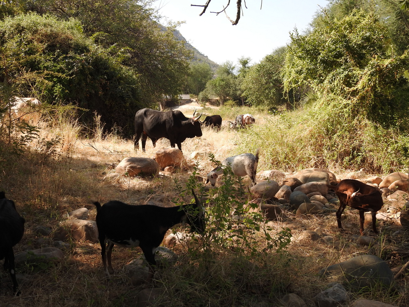
We went south along the coast, then inland to the Kumbira Forest. We stayed three nights at Fazenda Rio Uíri, a coffee plantation owned by an Angolan who’d had a successful restaurant in Portugal for many years before returning home to take over this property when his uncle died. Among the birding locations in this part of the trip were the Longa and Keve Rivers, Binga Falls, Conda and the Kumbira Forest.
Southeast to Huambo
We continued southeast towards Huambo, a city in the central Angola highlands. This was another situation where the roads had gotten much worse in the past four years so birding stops were sacrificed in order to reach the night’s destination.
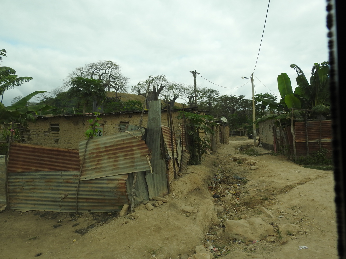
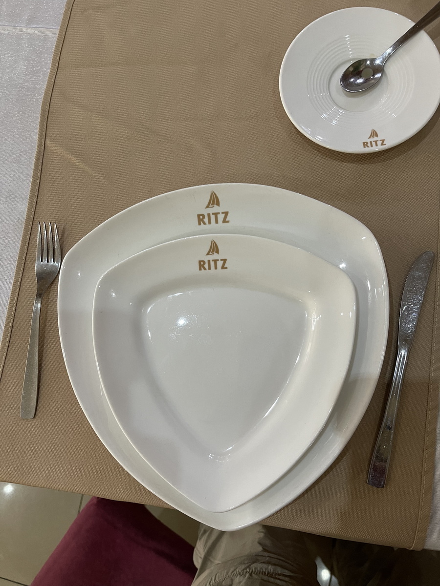
According to our guidebook, Huambo was designed for a population of 2 million but currently has only about 600,000 residents. It was a major battleground during the civil war and was held by the UNITA rebels near the end of the fighting. Although the war ended over 20 years ago, the results are still very evident in the destruction and empty buildings in this city. We stayed at the Ritz!
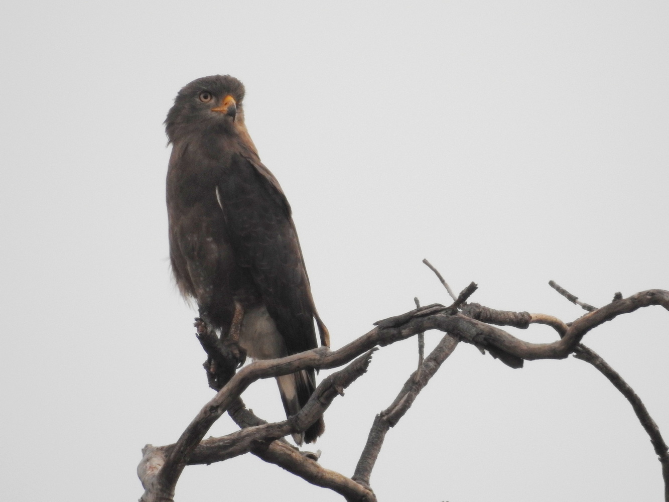
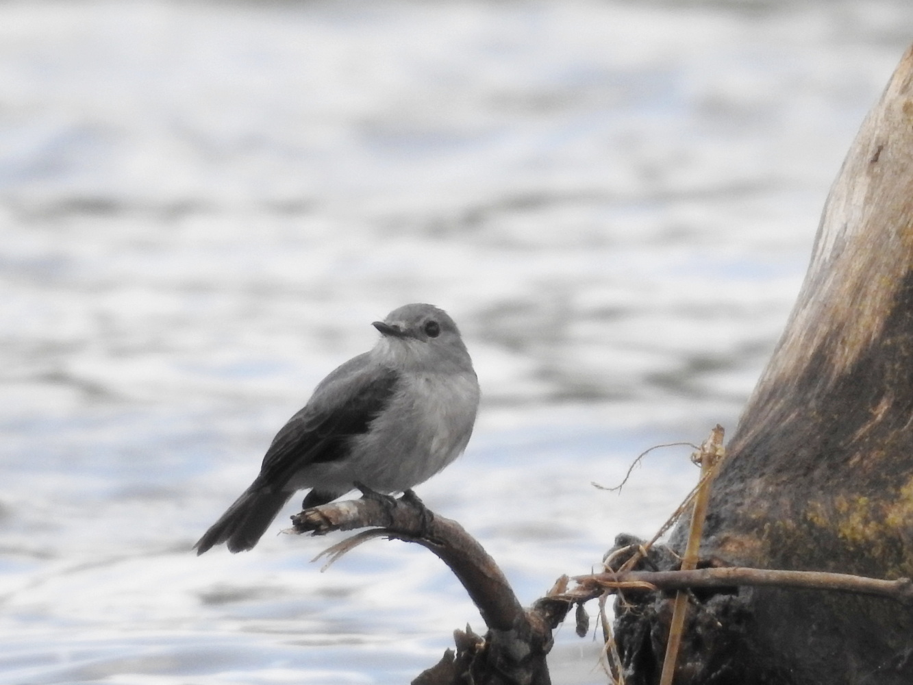
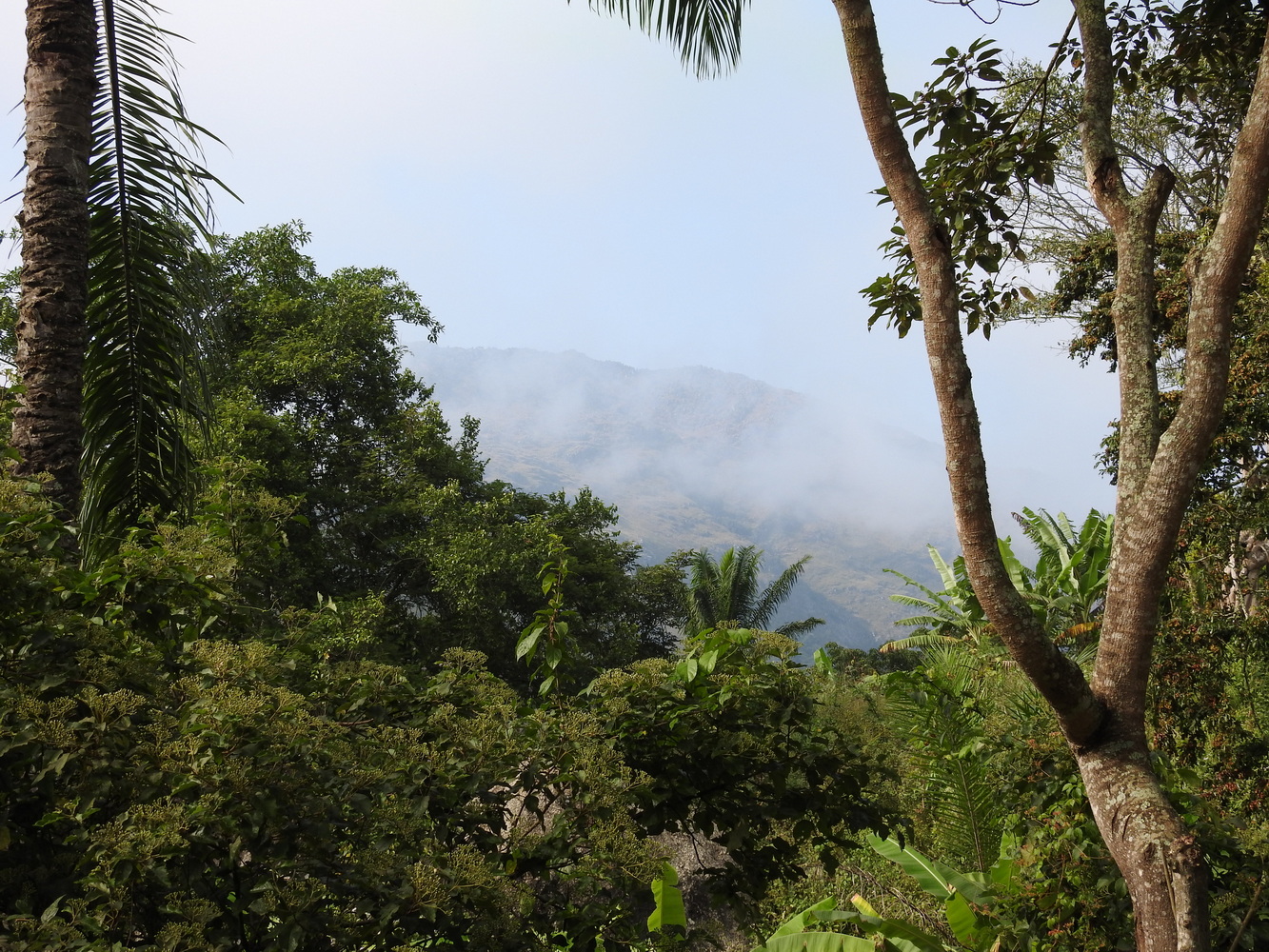
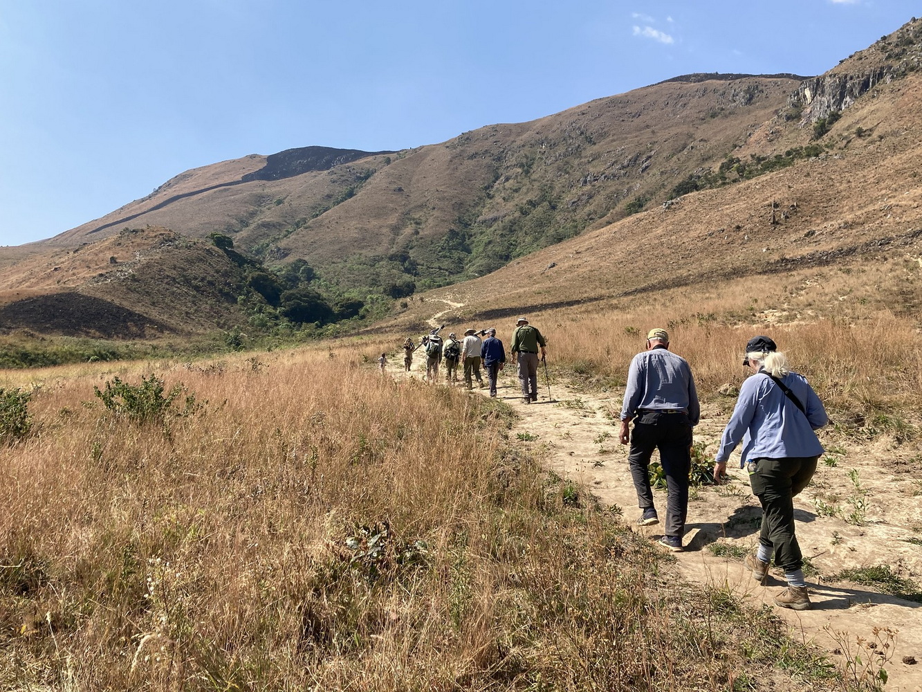
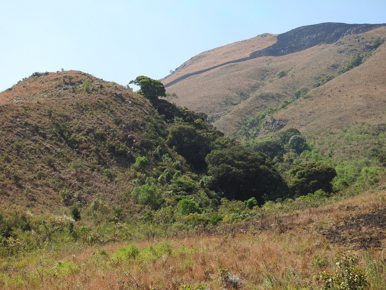
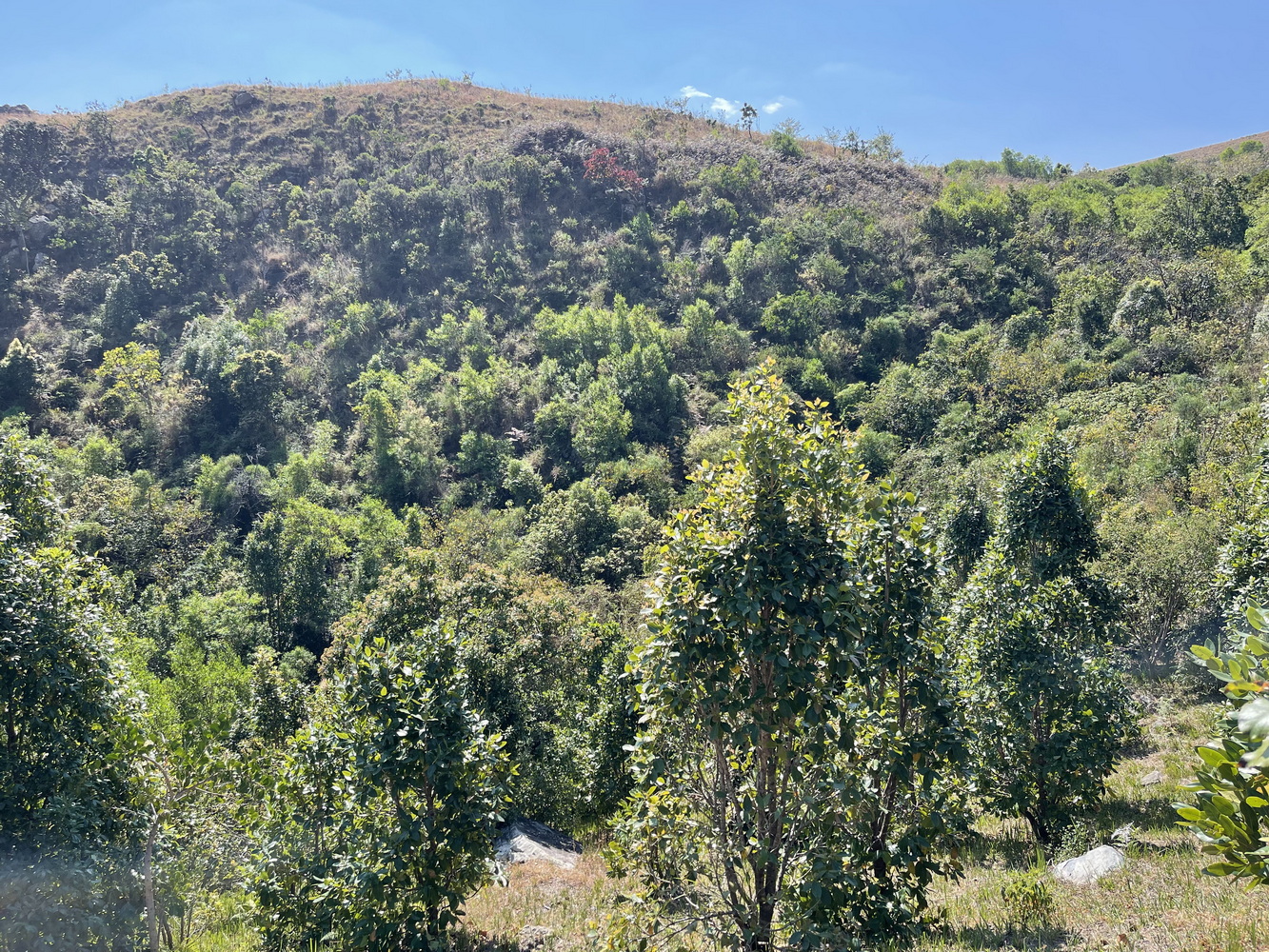
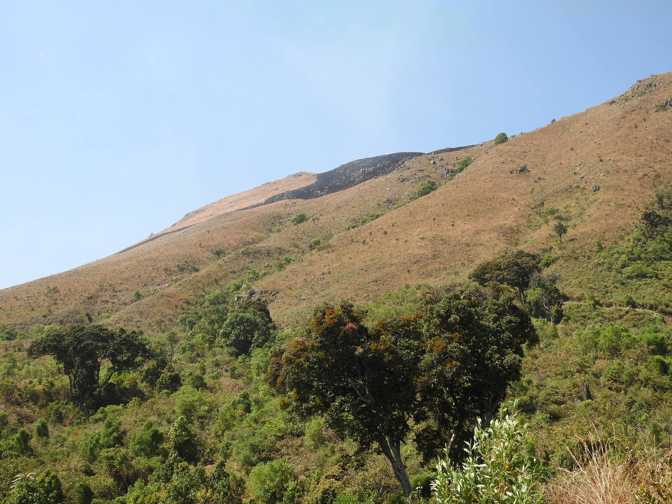
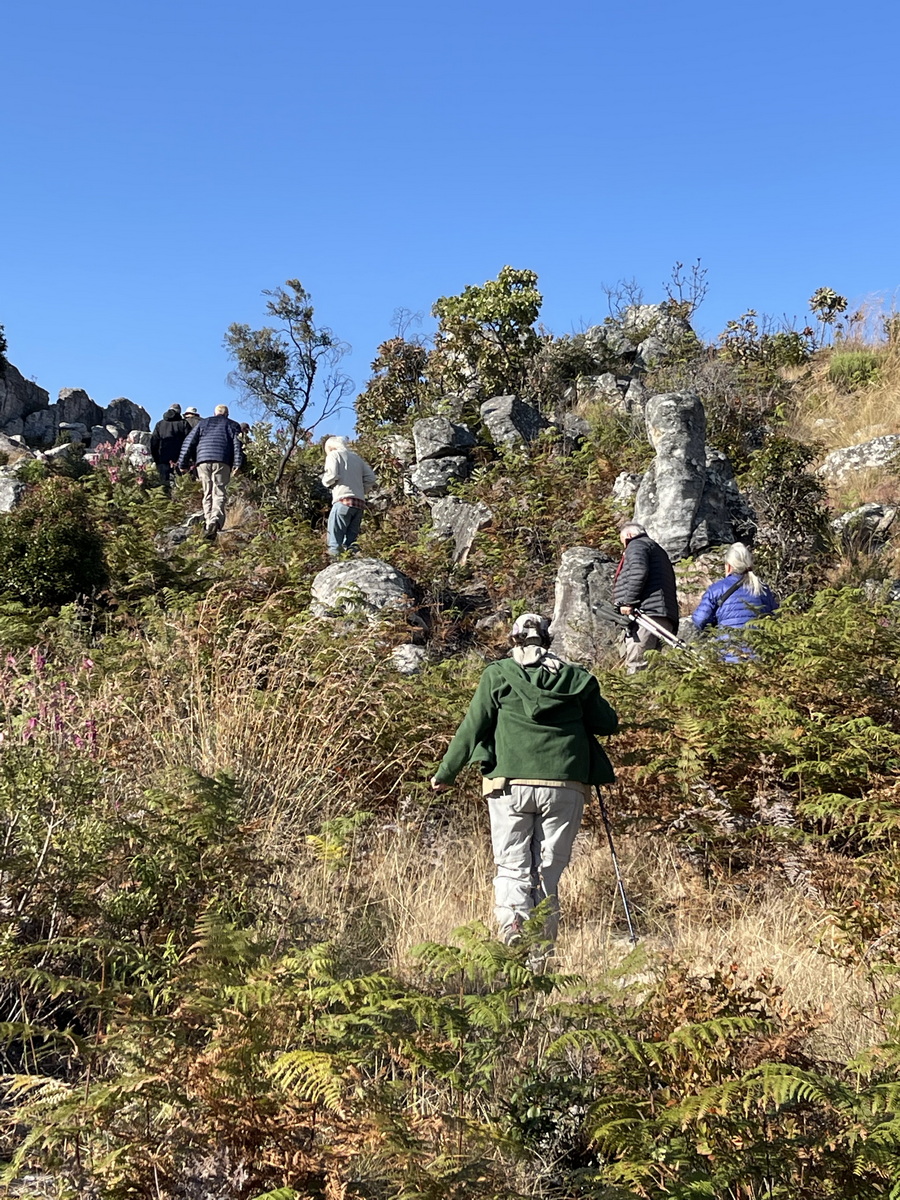
Mount Moco
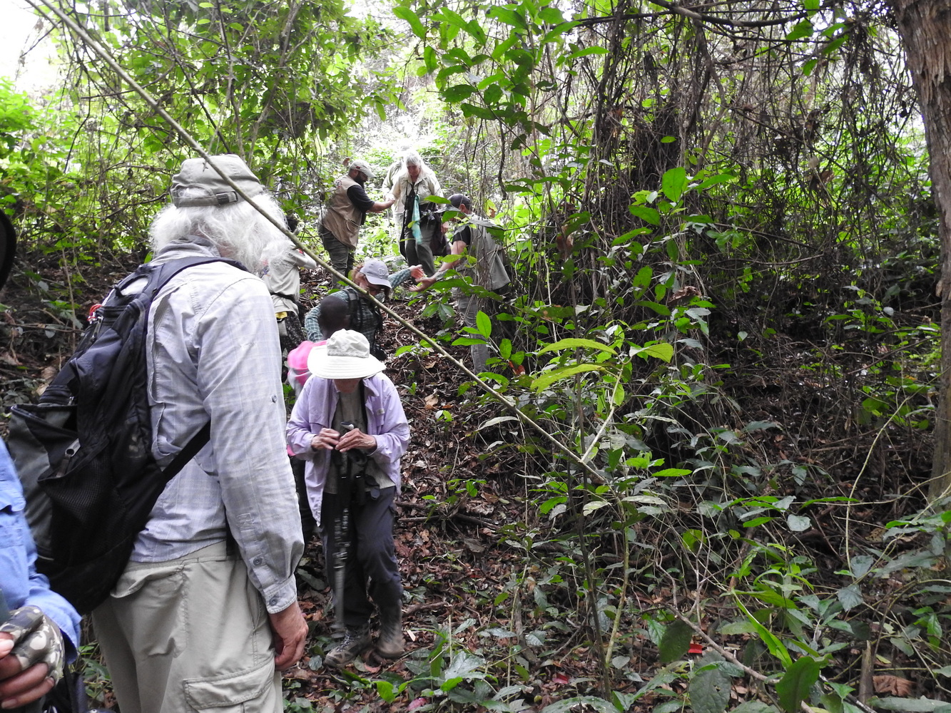
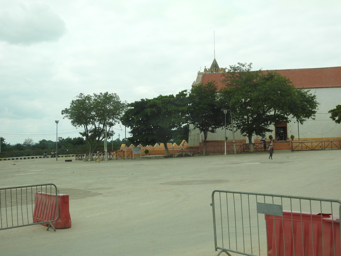
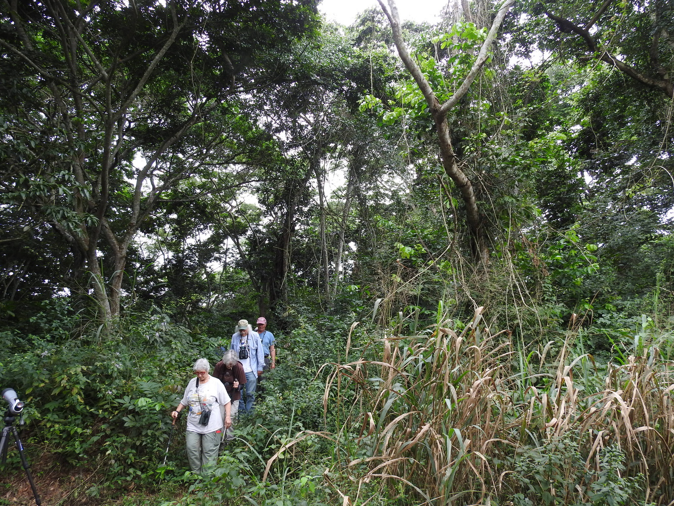
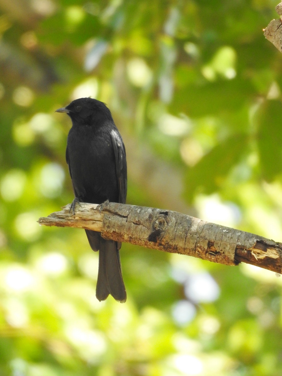
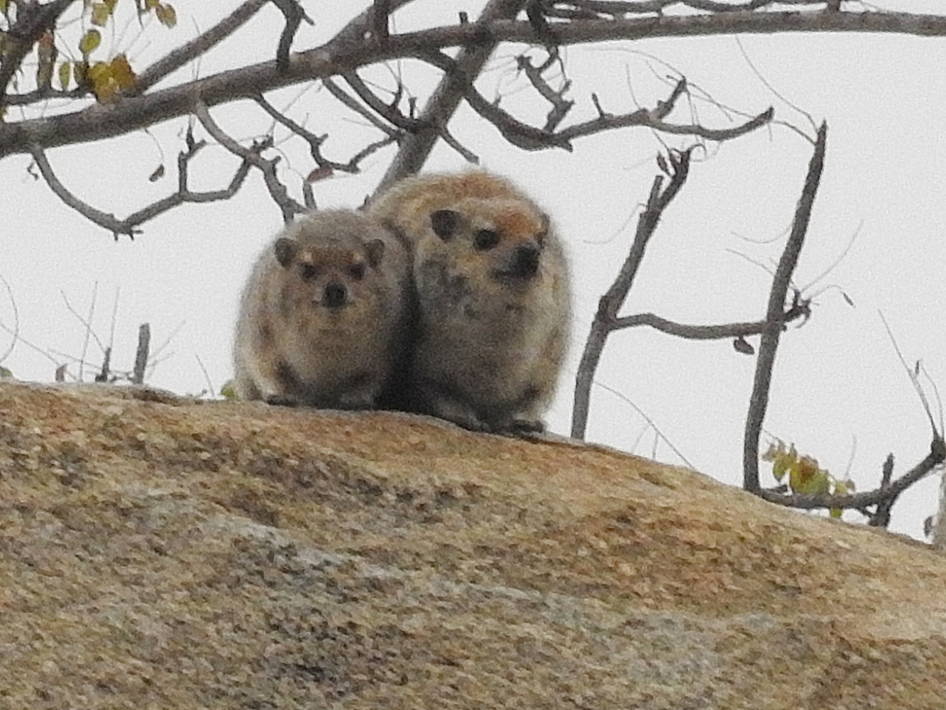
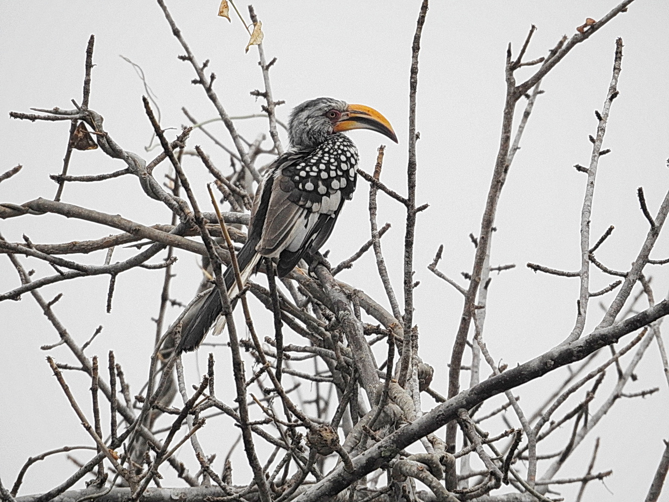
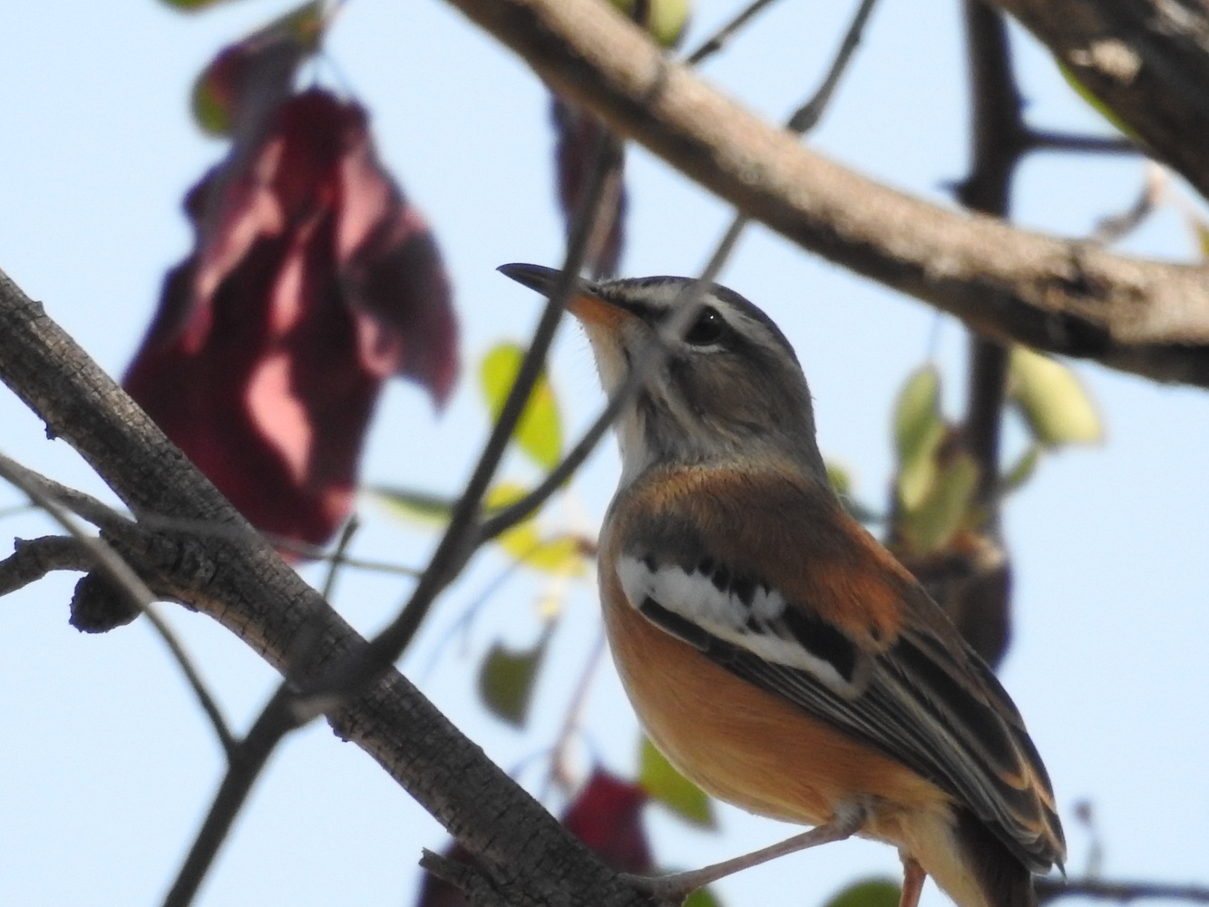
At about 8,600 feet elevation, Mount Moco is the highest mountain in Angola. It is also one of the few remaining places where Afromontane forest remains, so it’s an important site for the birds that only live in that forest. In recent years, it is also the location of one of very few Angolan environmental restoration stories with some success. Birding Africa, with leadership from ornithologist Michael Mills, is working with the residents of Kanjonde village to reforest and manage this small remaining area of unique forest. It seems like a daunting task, but it is inspiring to see their progress!
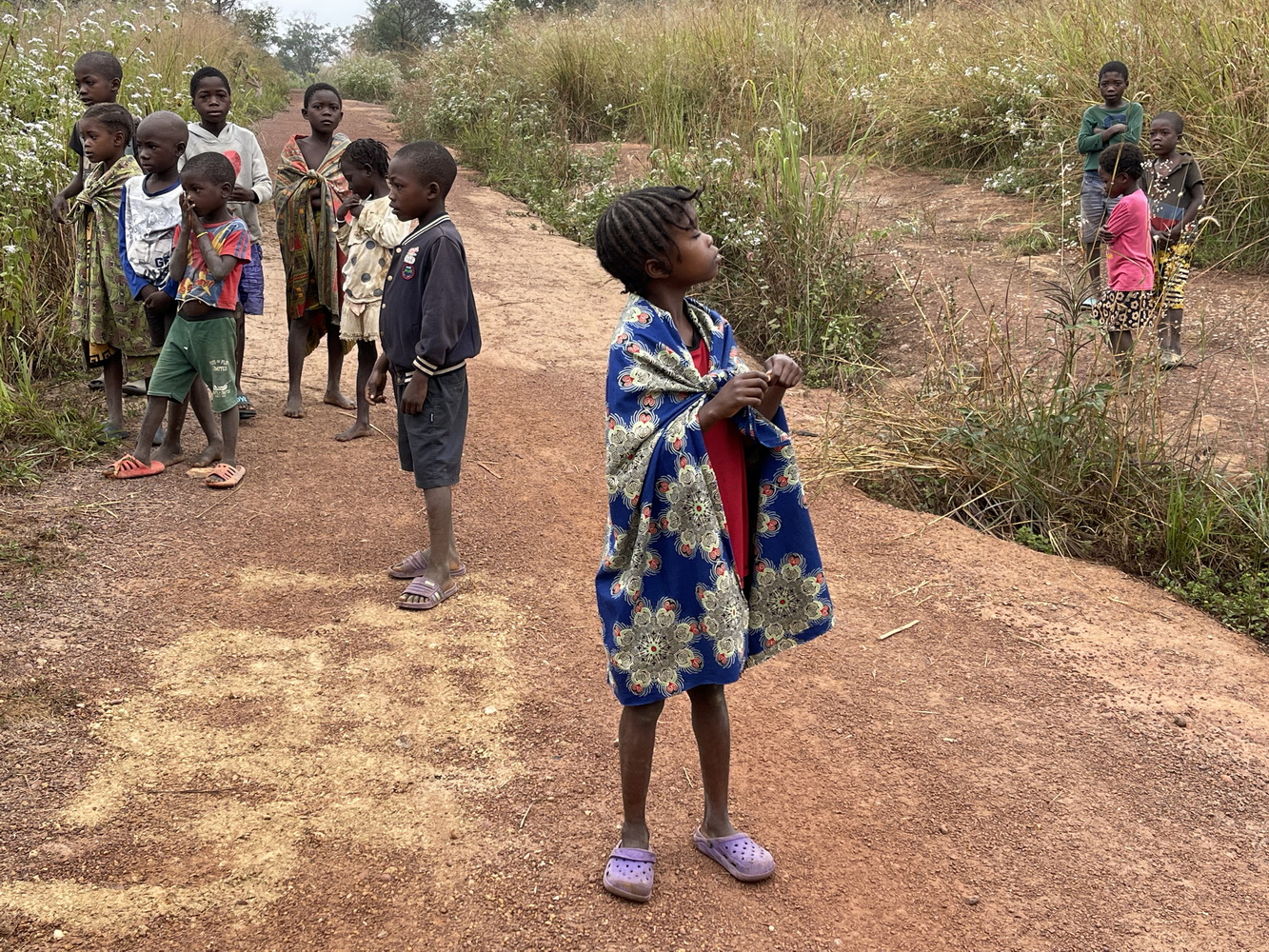
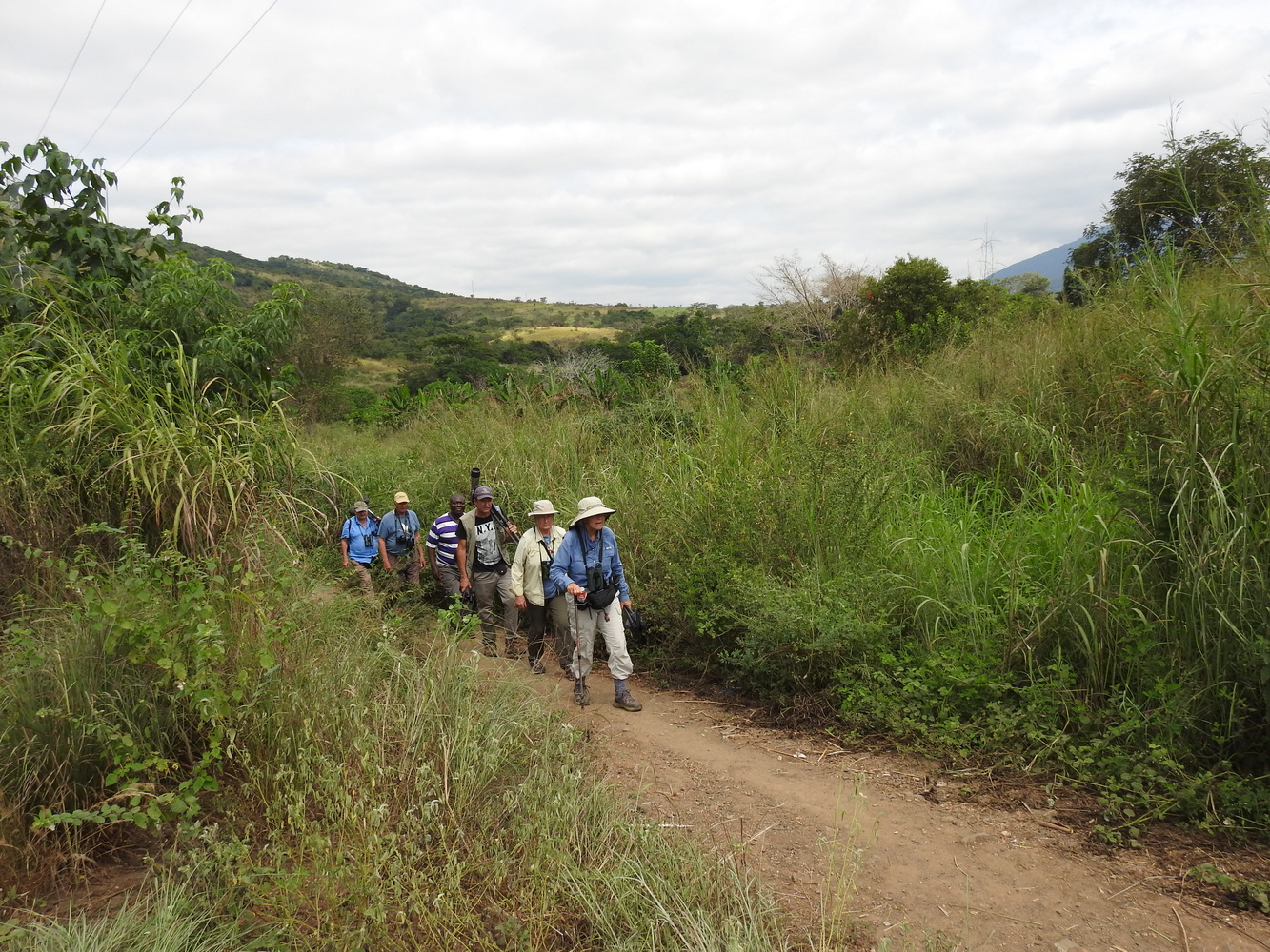
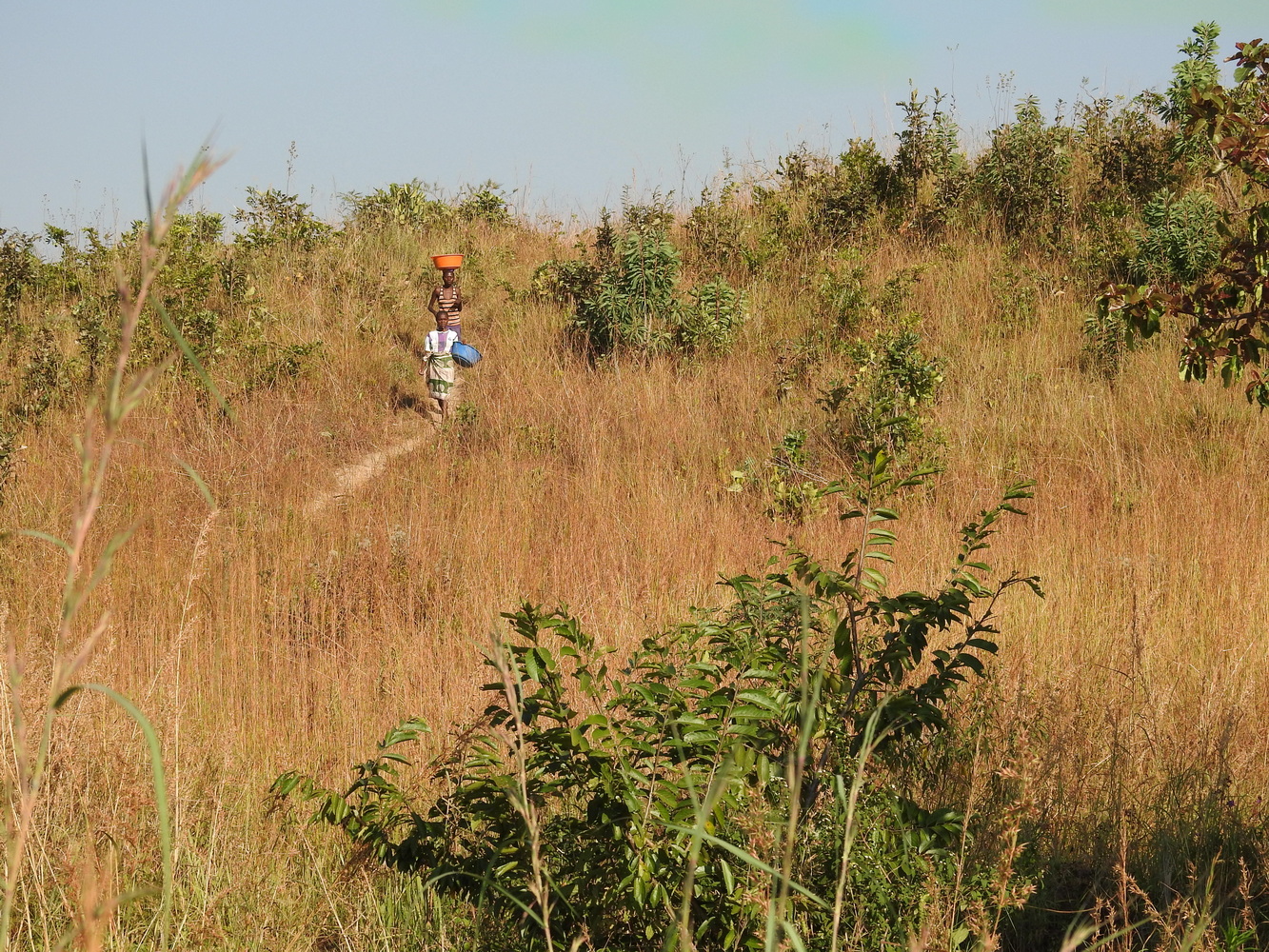
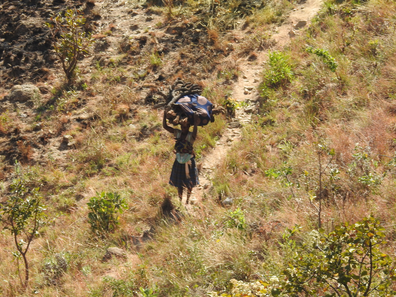
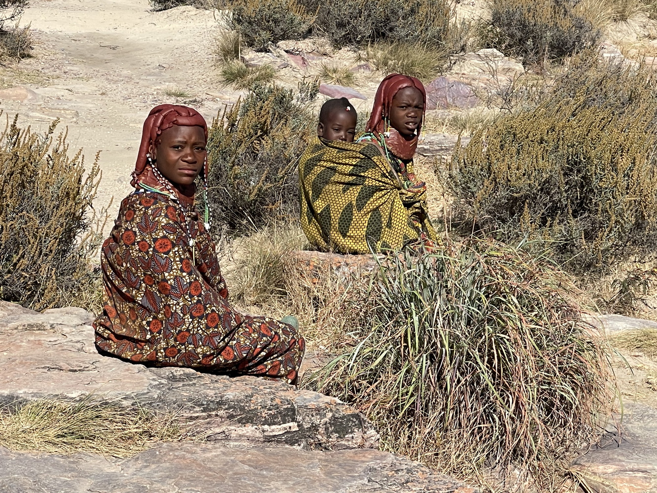
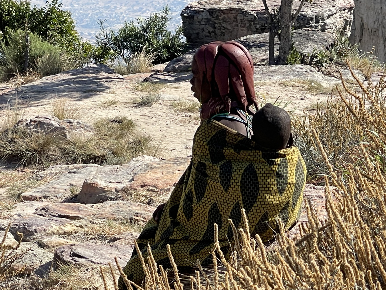
The lodge where the tour had stayed before is now closed. Staying in Huambo meant a 5:00 am departure to drive to Mount Moco, and we still got there later than the ideal timing for birding. Errol talked briefly with people in Kanjonde, where we left the cars for a steep uphill climb to the small remaining forest patch (for those who chose to go). Here are some of the views of the village, the mountains, the forest and the birds.


Towards the Coast at Lobito and Benguela
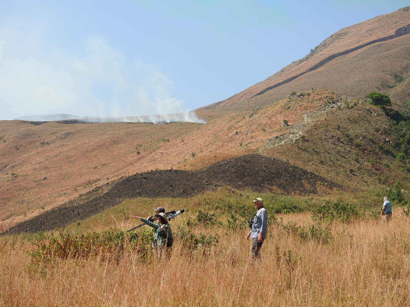
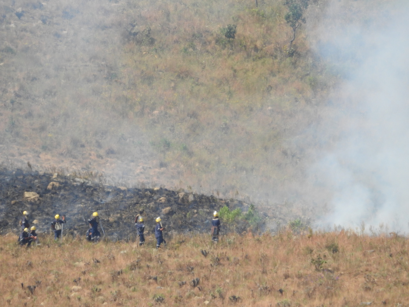
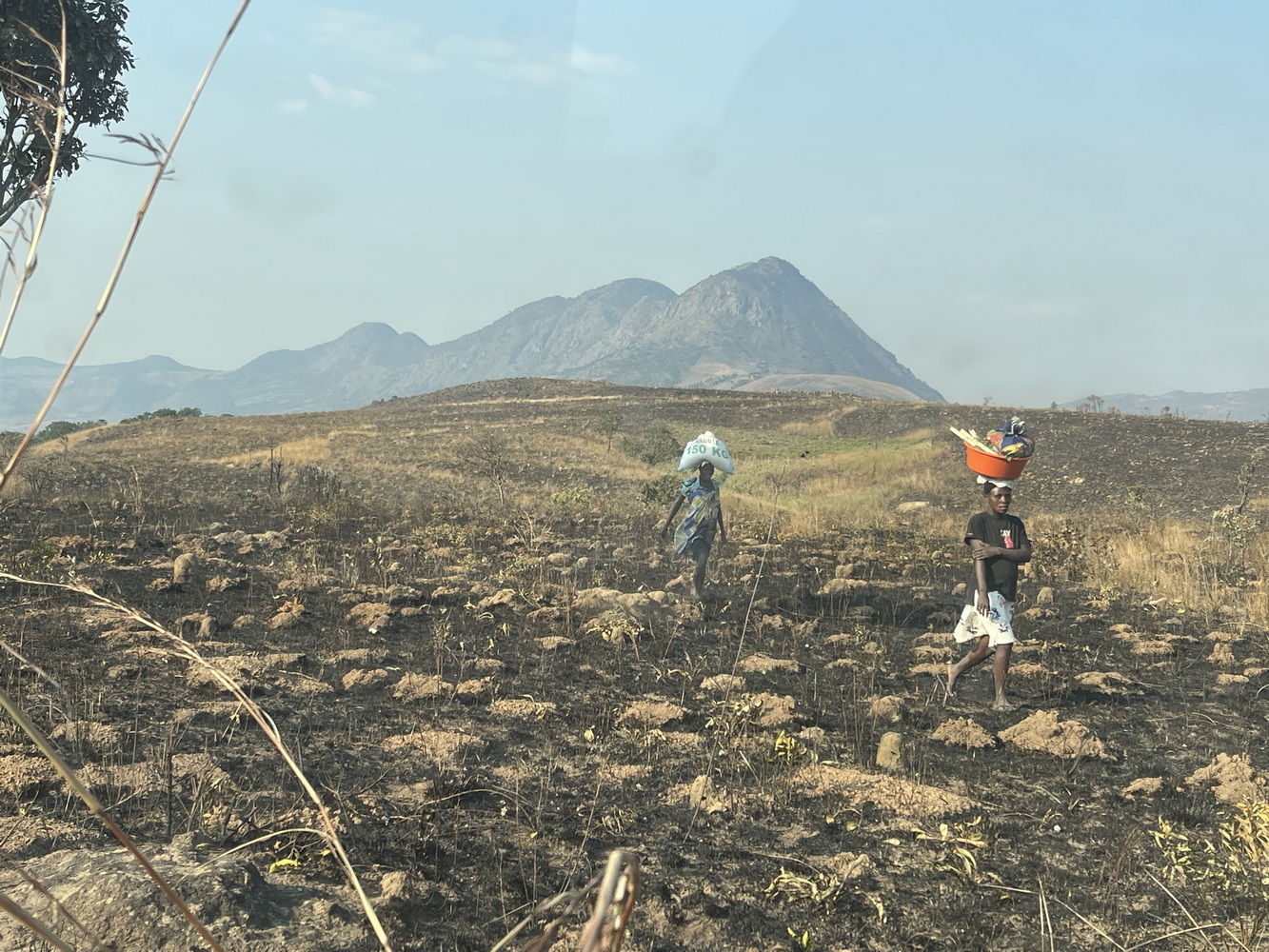
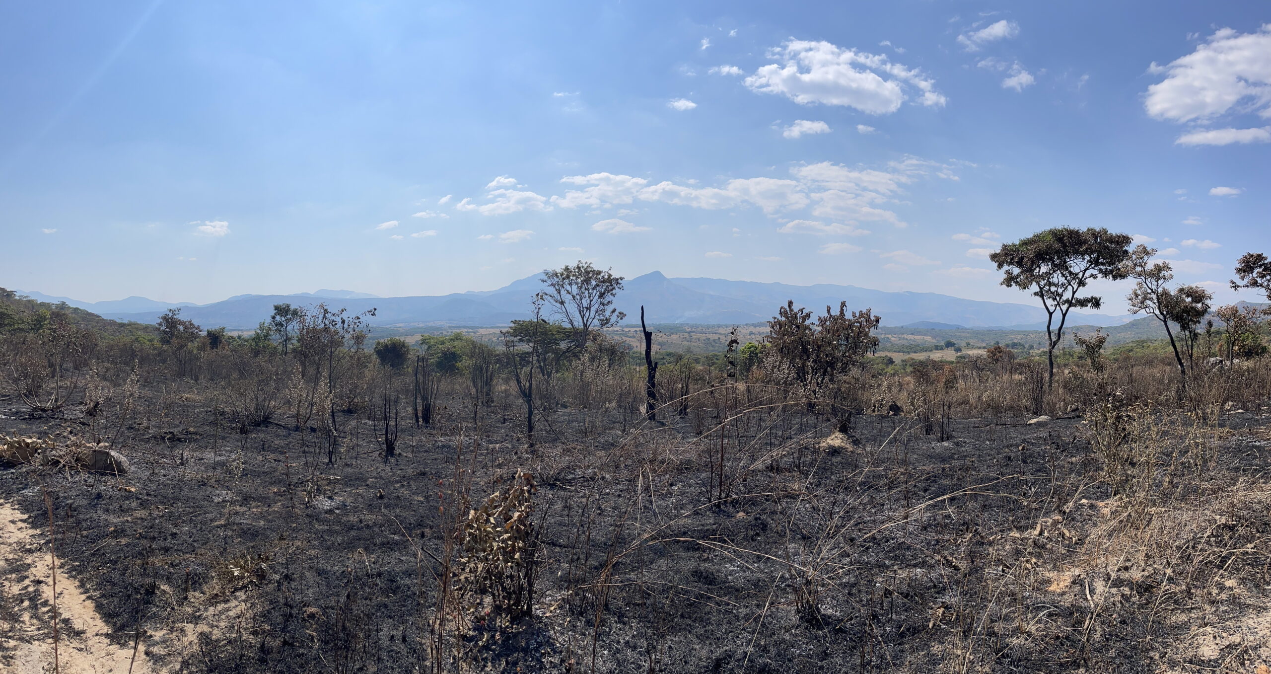
Our day at Mt. Moco ended back at the hotel about 7:30 pm. So we got to sleep in the next morning — breakfast wasn’t until 7:00! (Though with our bags packed for pick-up before that). Most of the day was spent driving back to the coast, with a few brief birding stops. We saw many burned fields along the way.
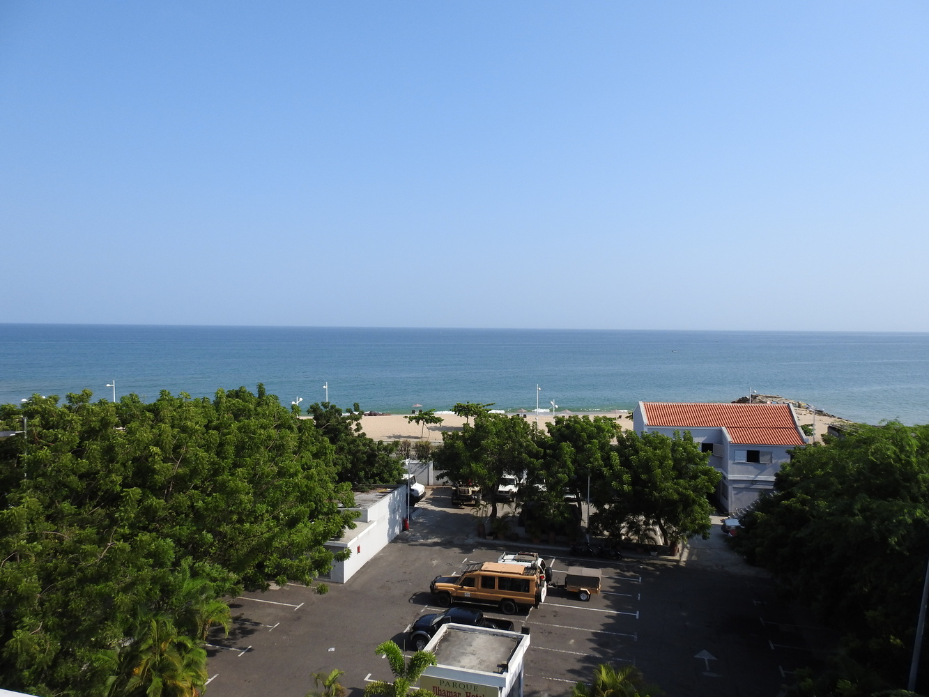
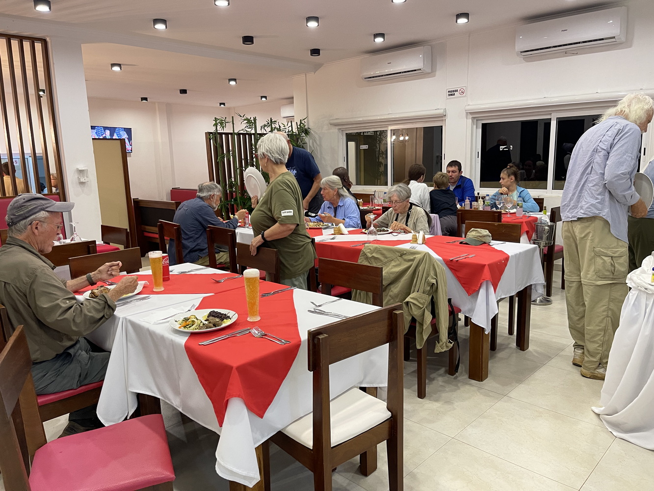
We reached the coast at Lobito, which seems to be a very prosperous city with lots of modern industrial development. We then drove southward to Benguela for the night. Our hotel, the Praia Morena, was hard to find and the lobby was full of FIFA soccer officials who were having some kind of function there. Oddly, we were assigned part of an elaborate 3-bedroom suite on the top floor (along with Barbara and Dan, and Karen and Ray). Too bad we weren’t there long enough to take advantage of it! We had dinner at a restaurant owned by the national Minister of Tourism. It had excellent seafood dishes in very large quantities! We were the only customers, though, not a good sign for the owner.
Lubango
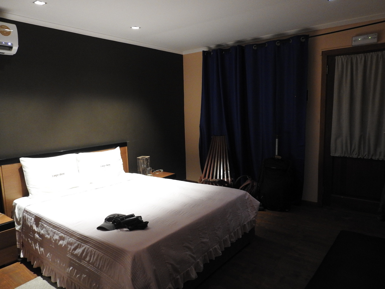
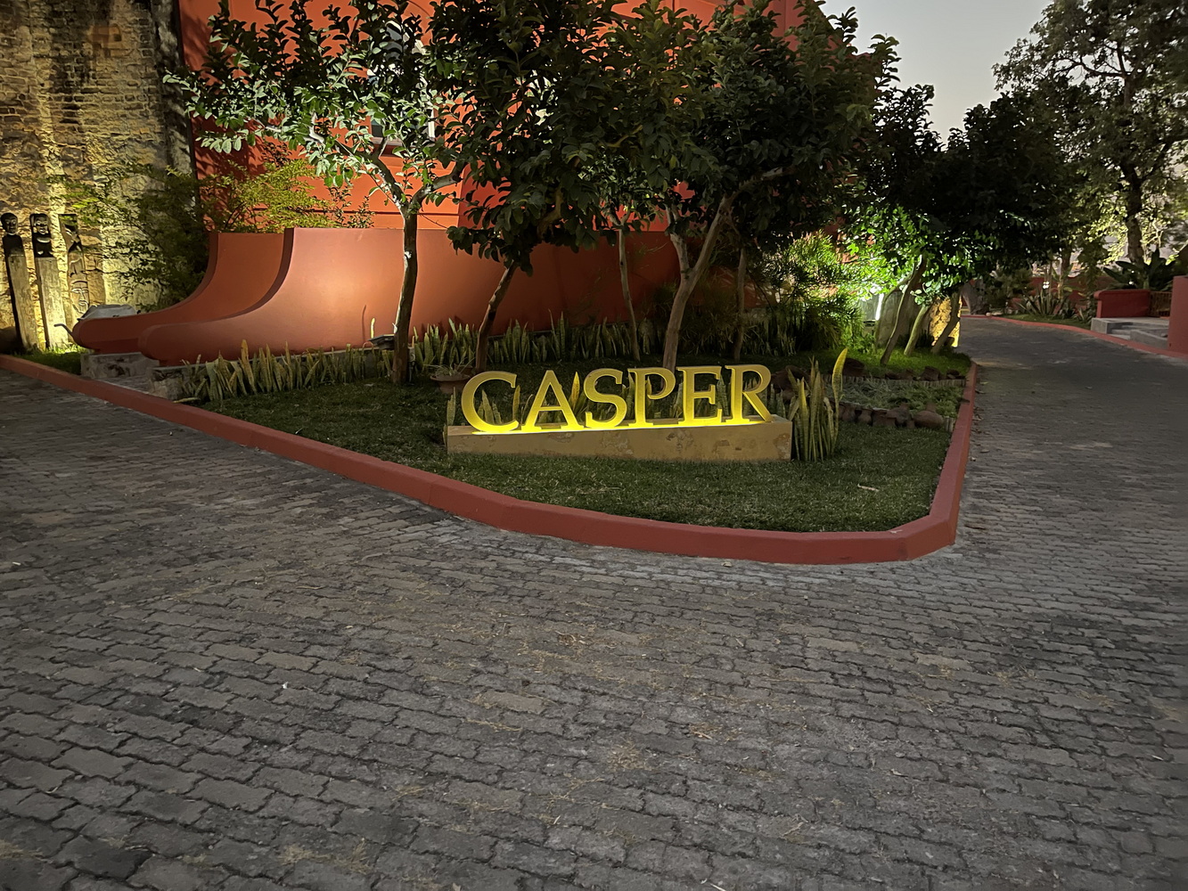
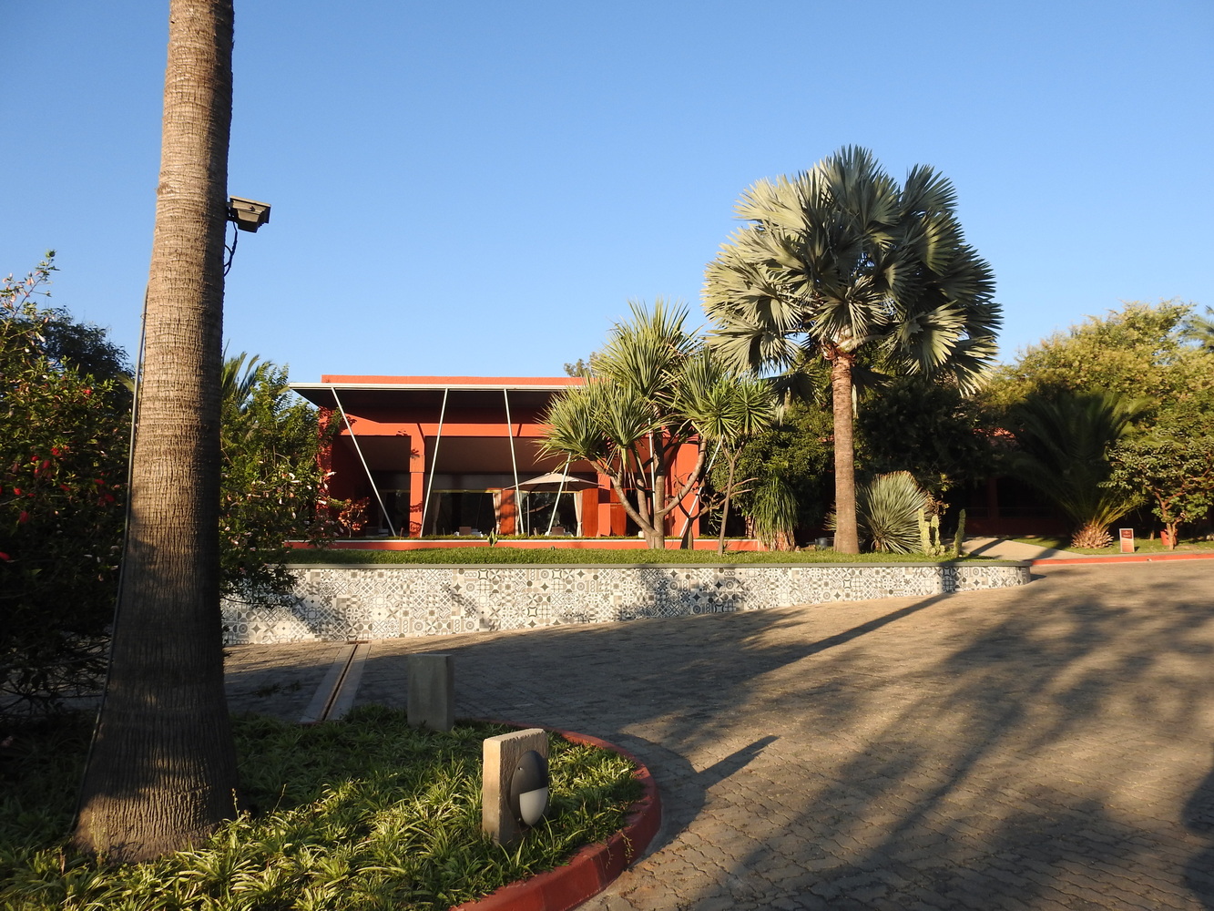
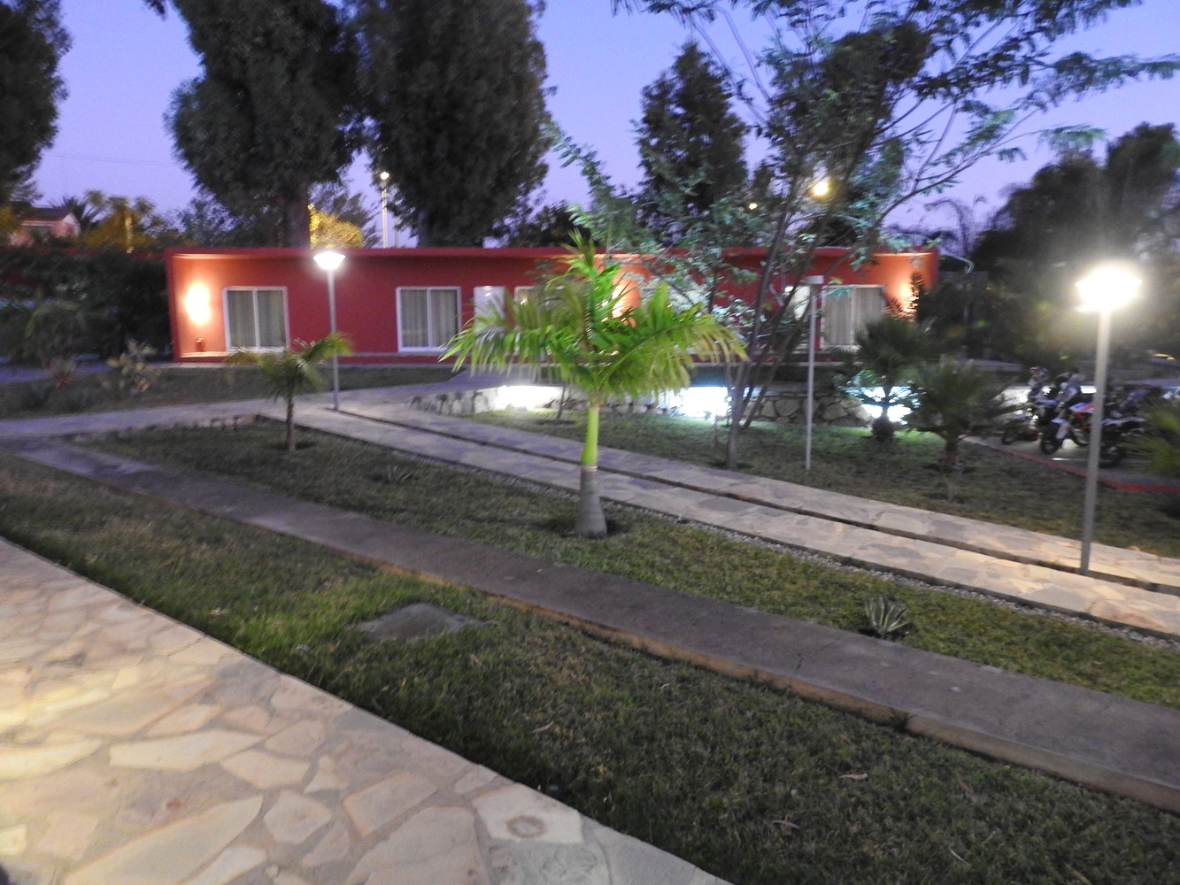
We stopped for some birding in the Civité Village Hills, but spent most of our day driving to Lubango, the last place we stayed. It’s at the highest location of a major city in Angola (5,774 feet elevation), and has almost 1 million residents. The roads and traffic weren’t as bad as some places, but were still confusing. We stayed at a resort-style hotel, the Casper Lodge.
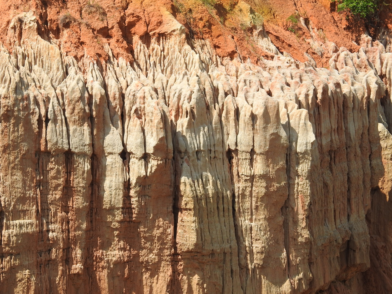
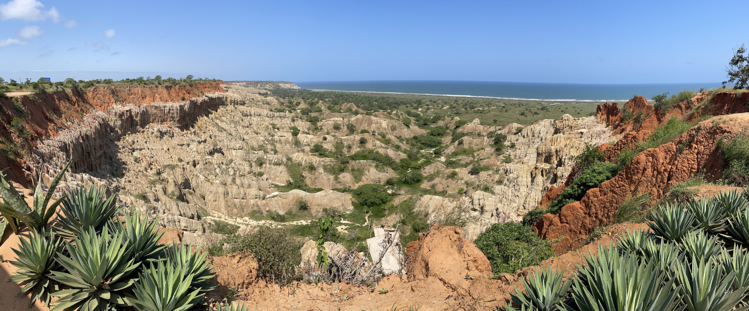
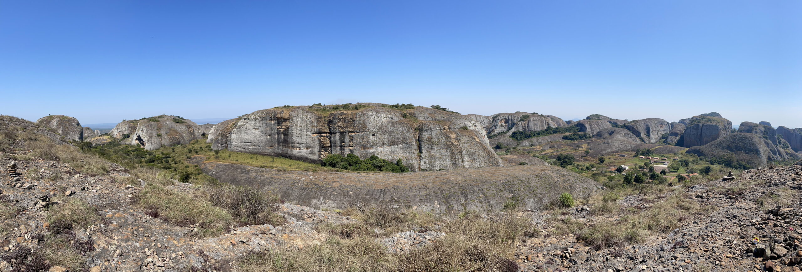
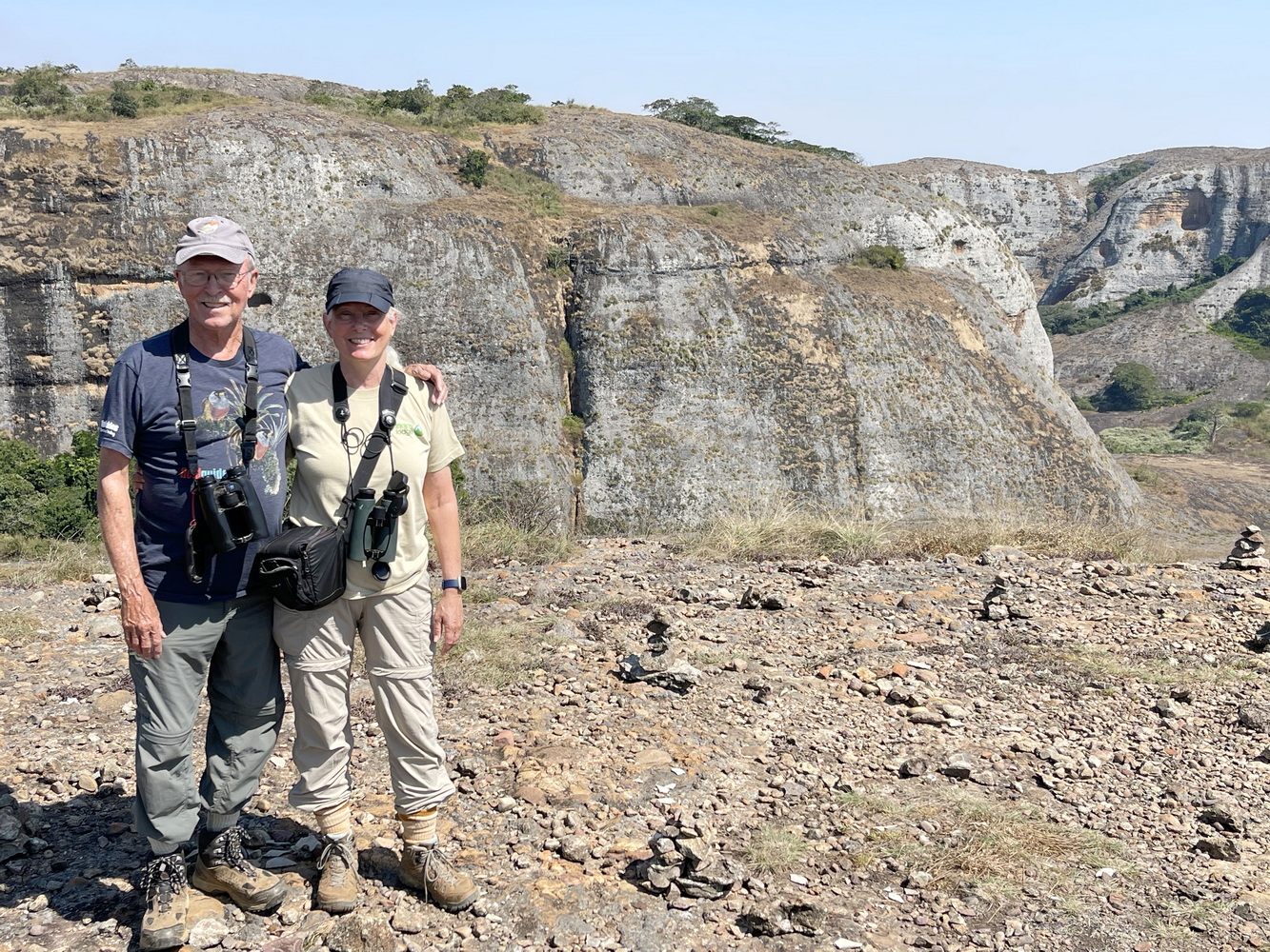
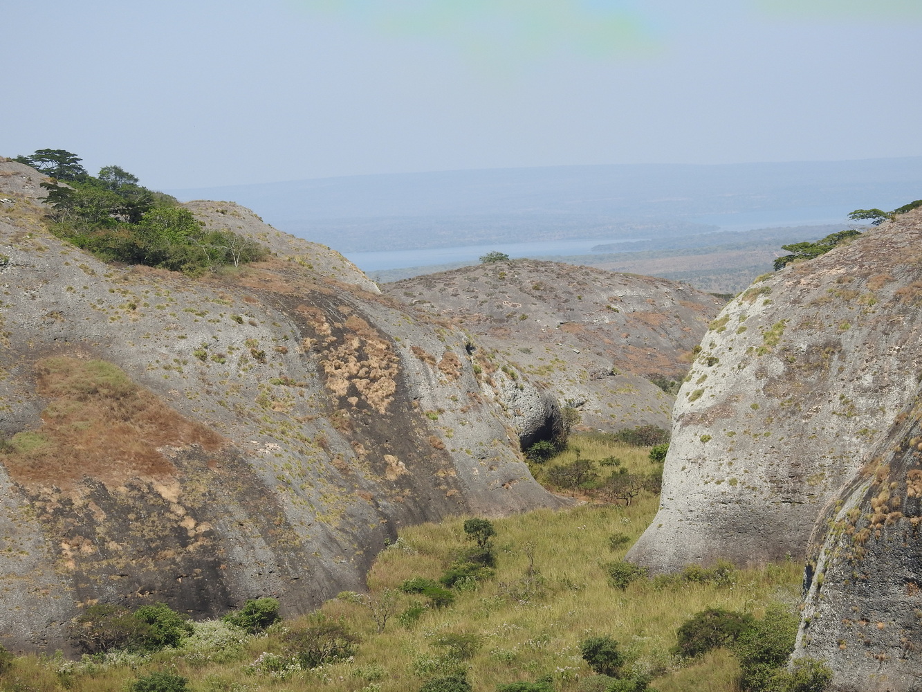
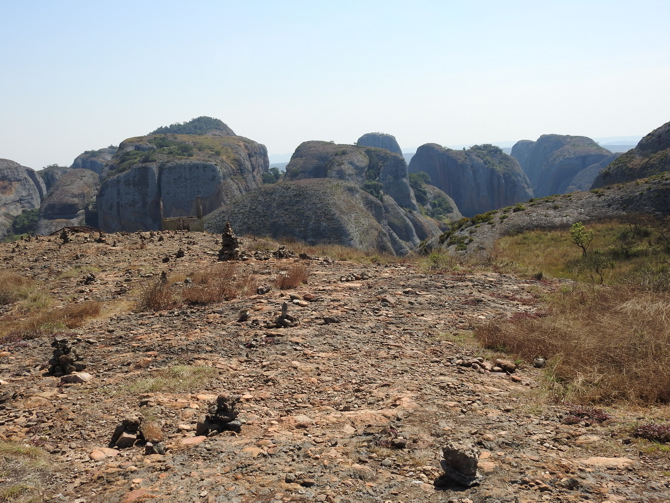
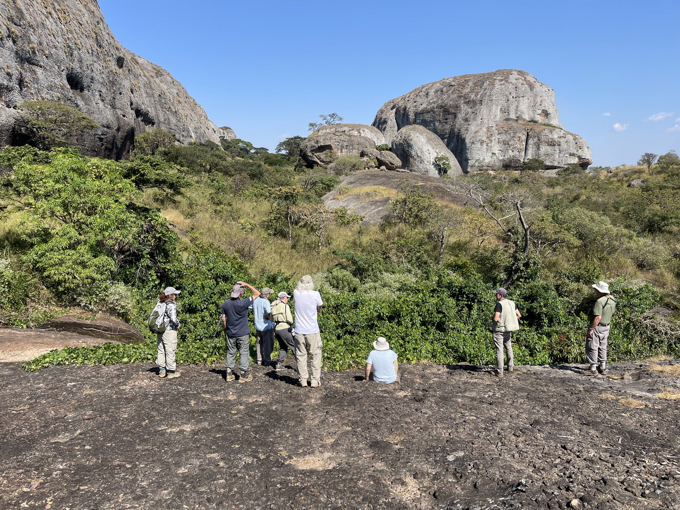
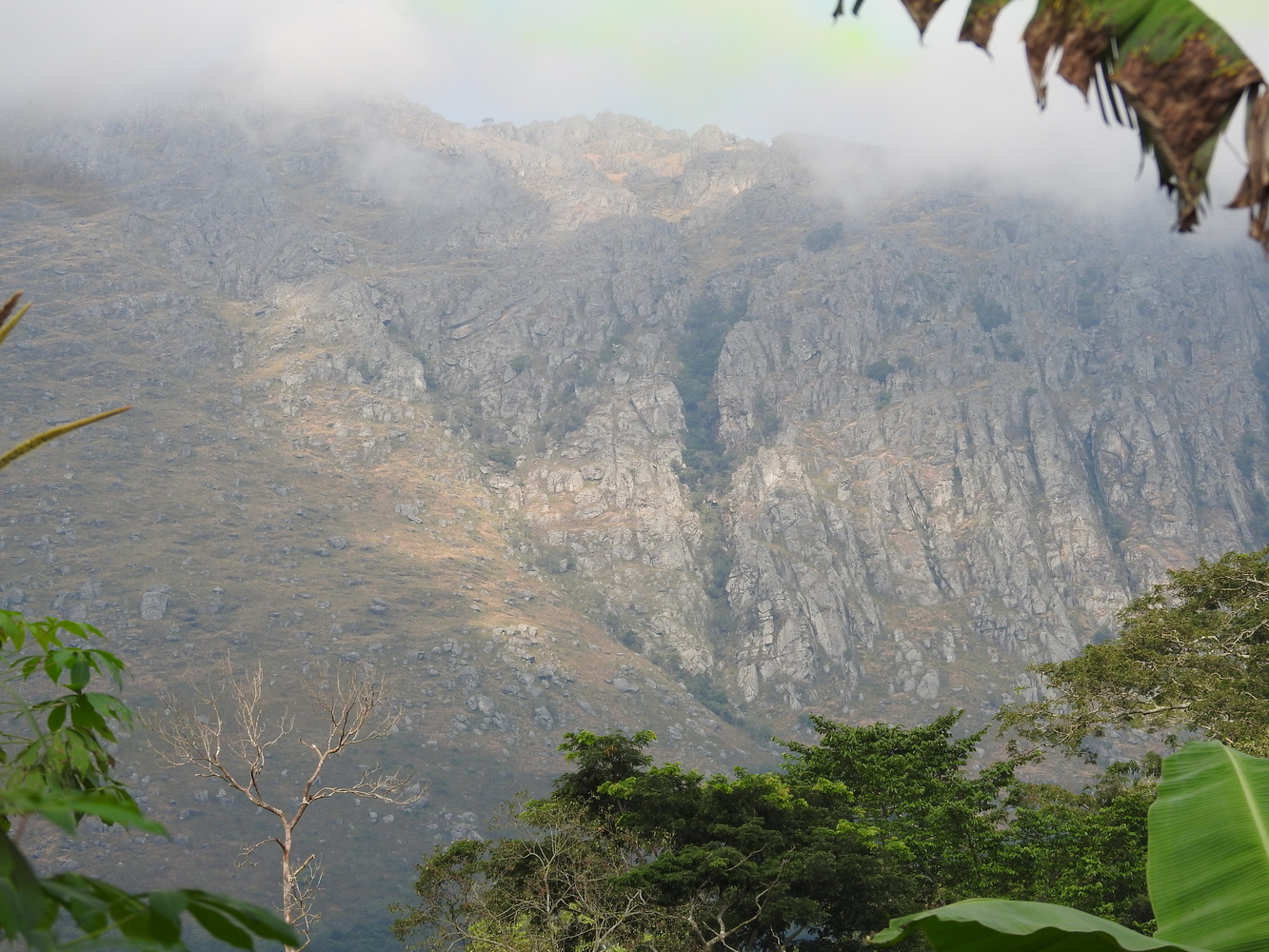
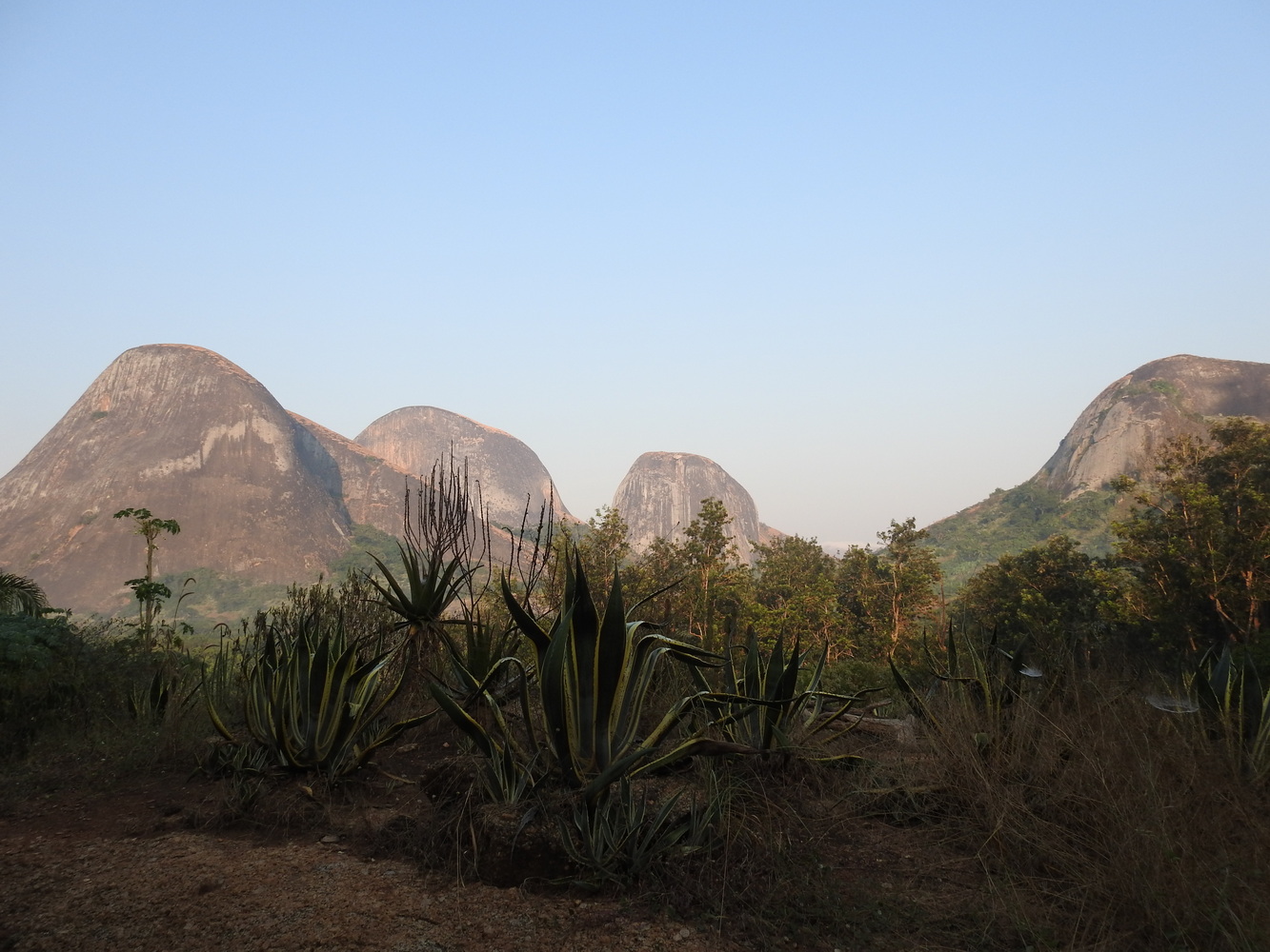
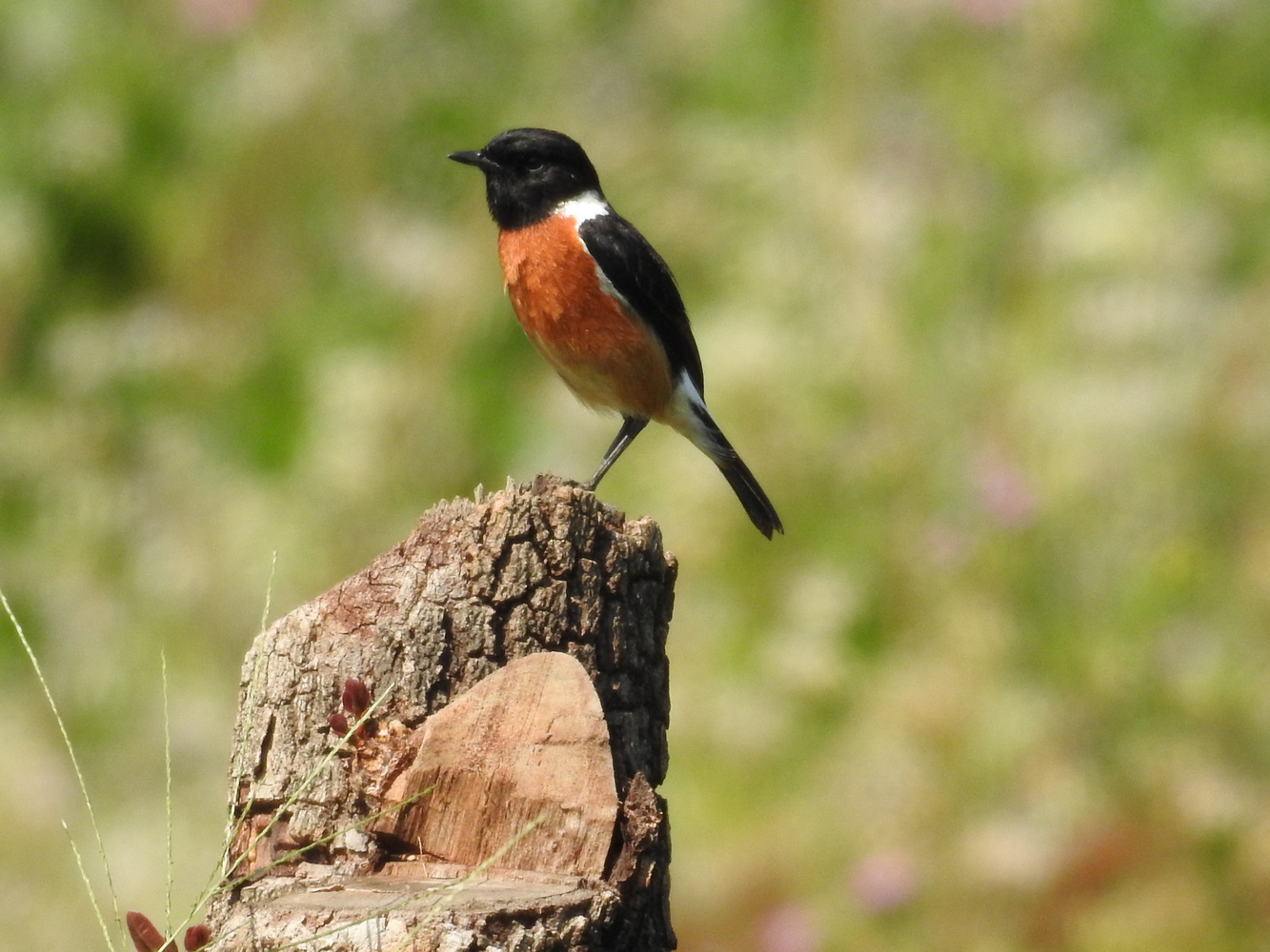
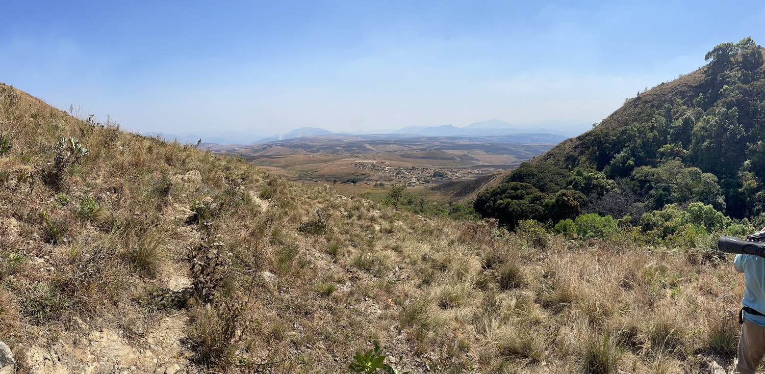
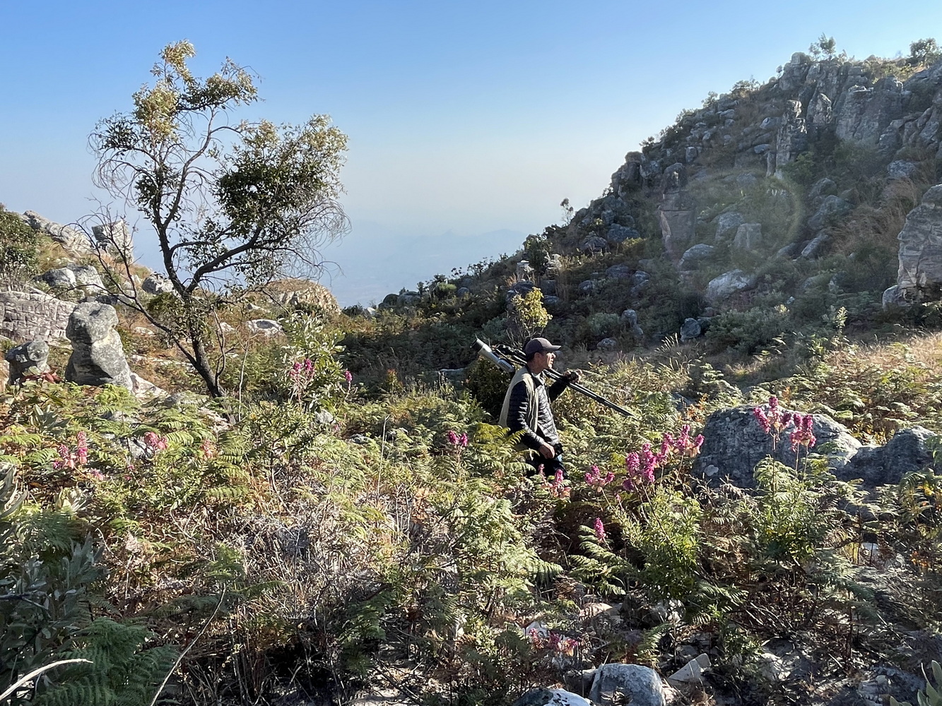
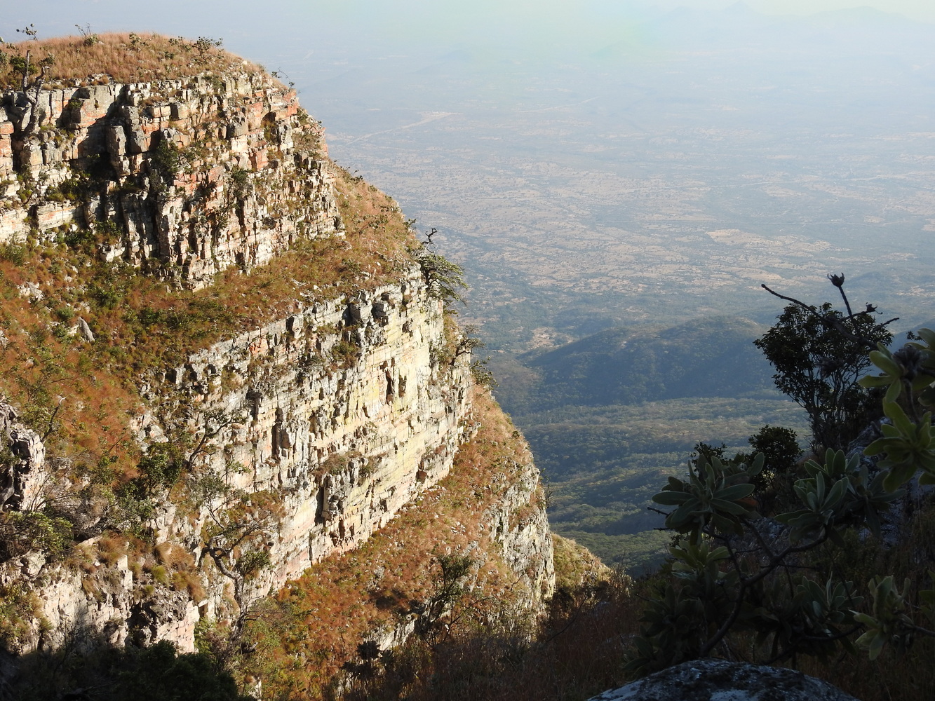
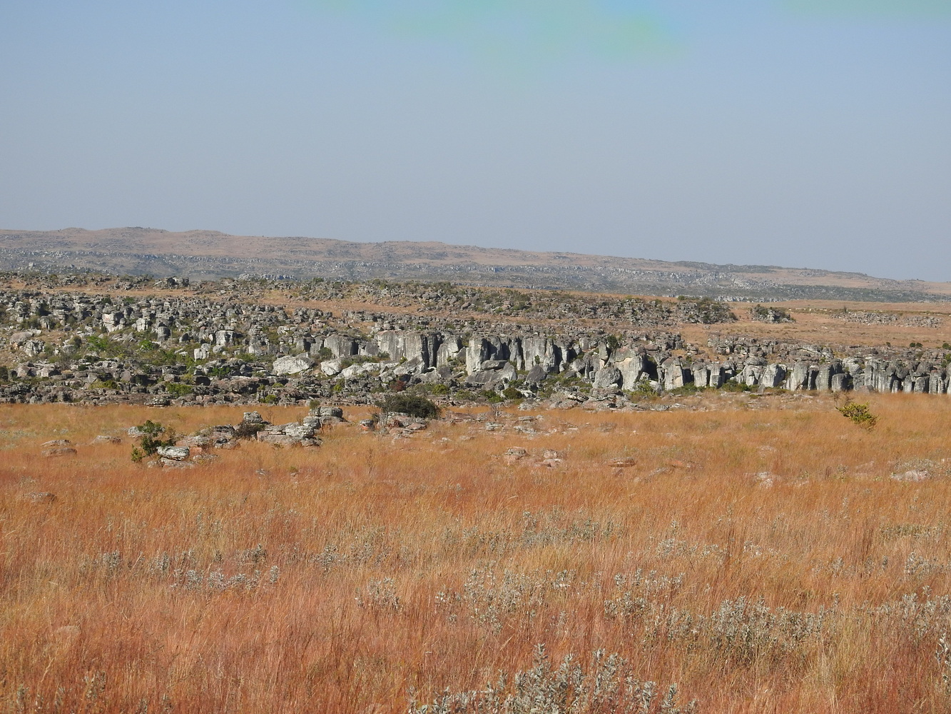
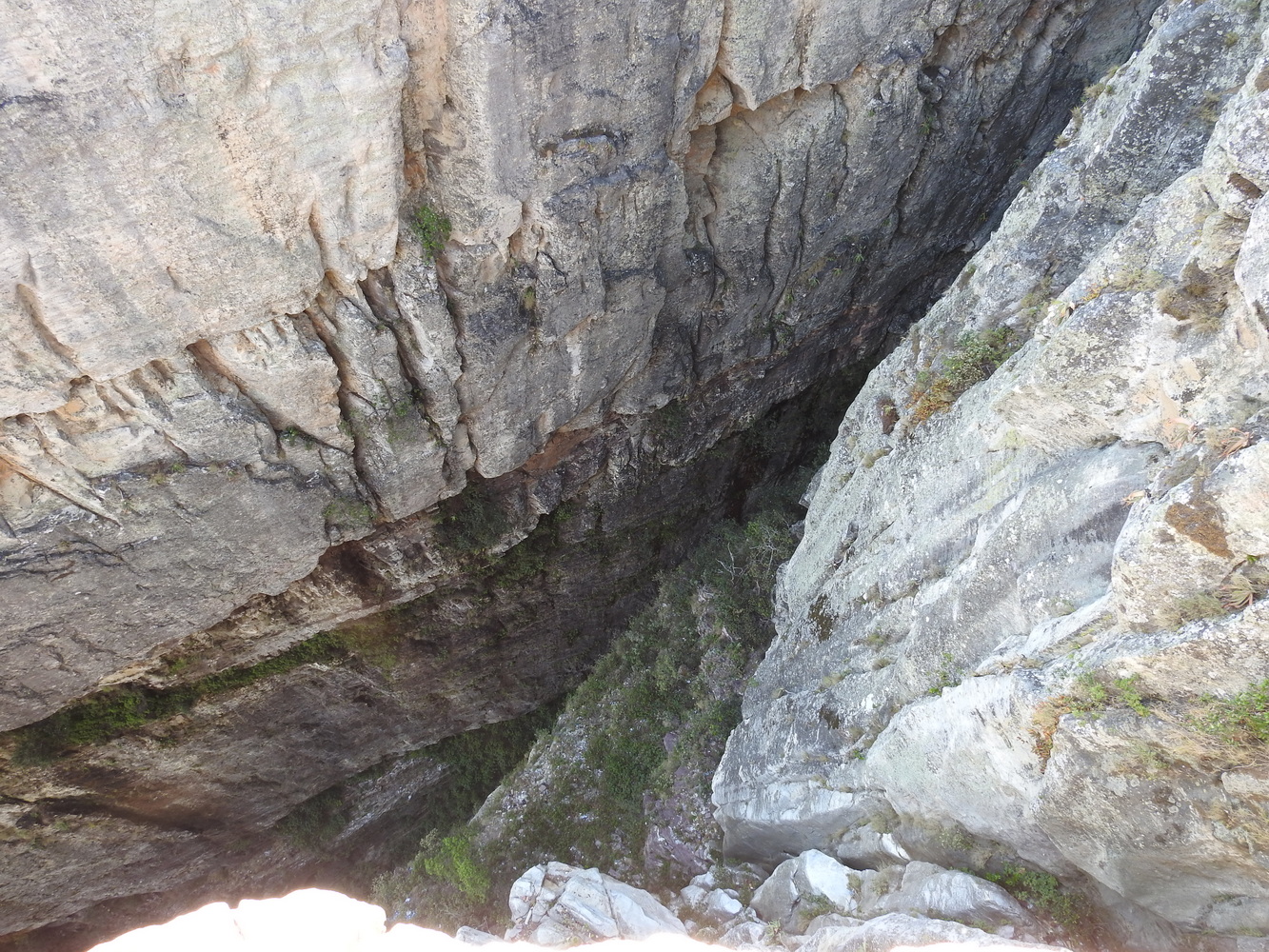
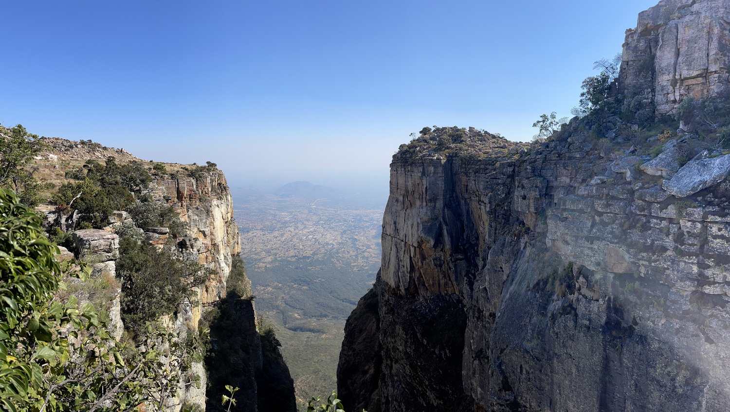
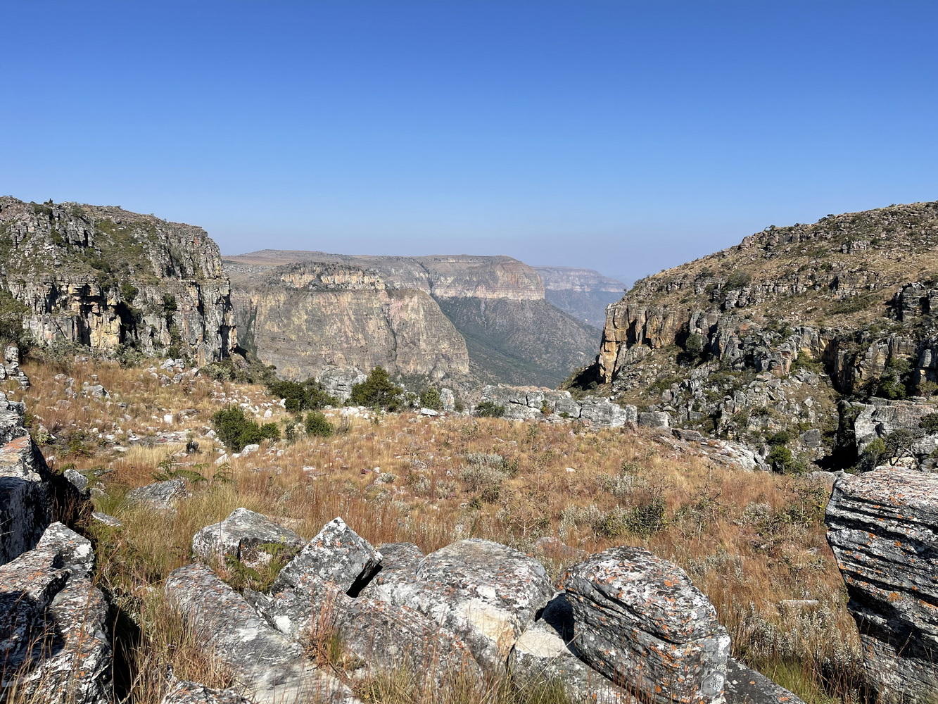
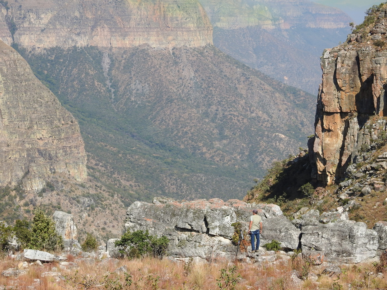
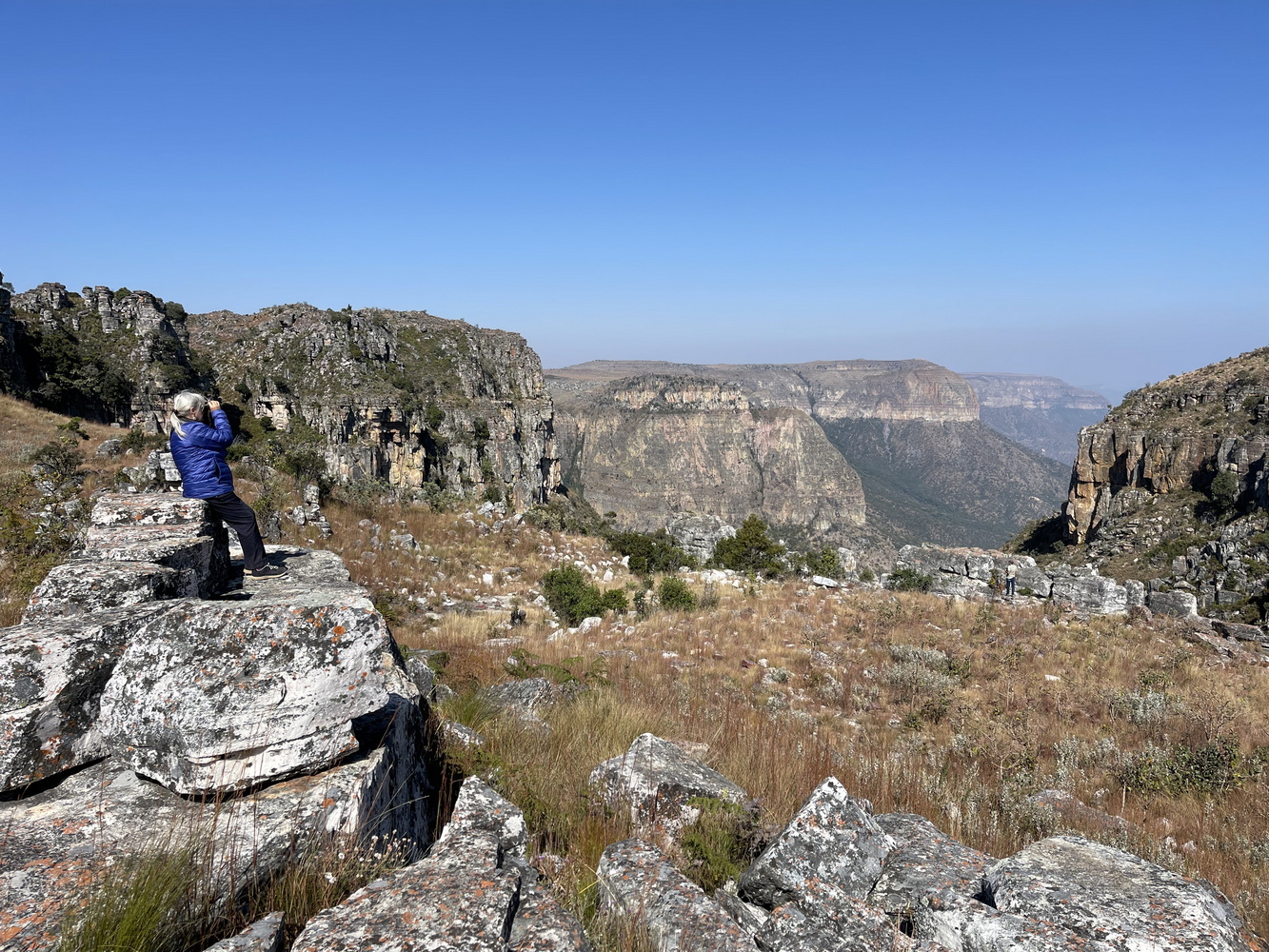
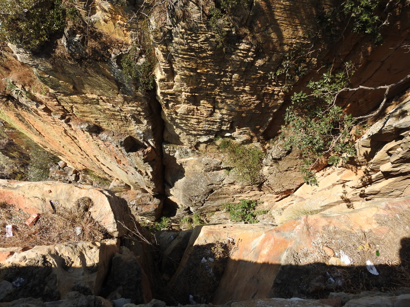
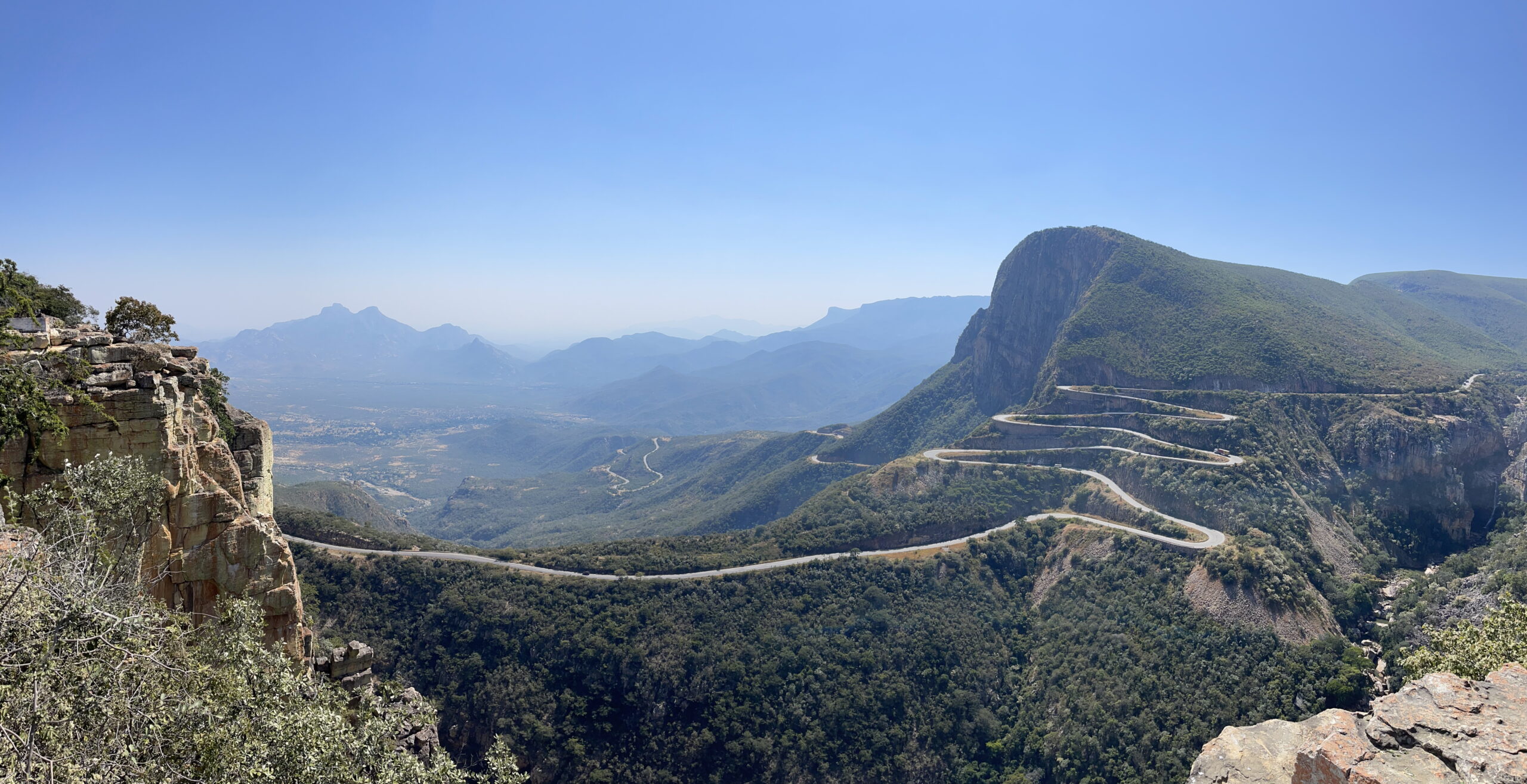
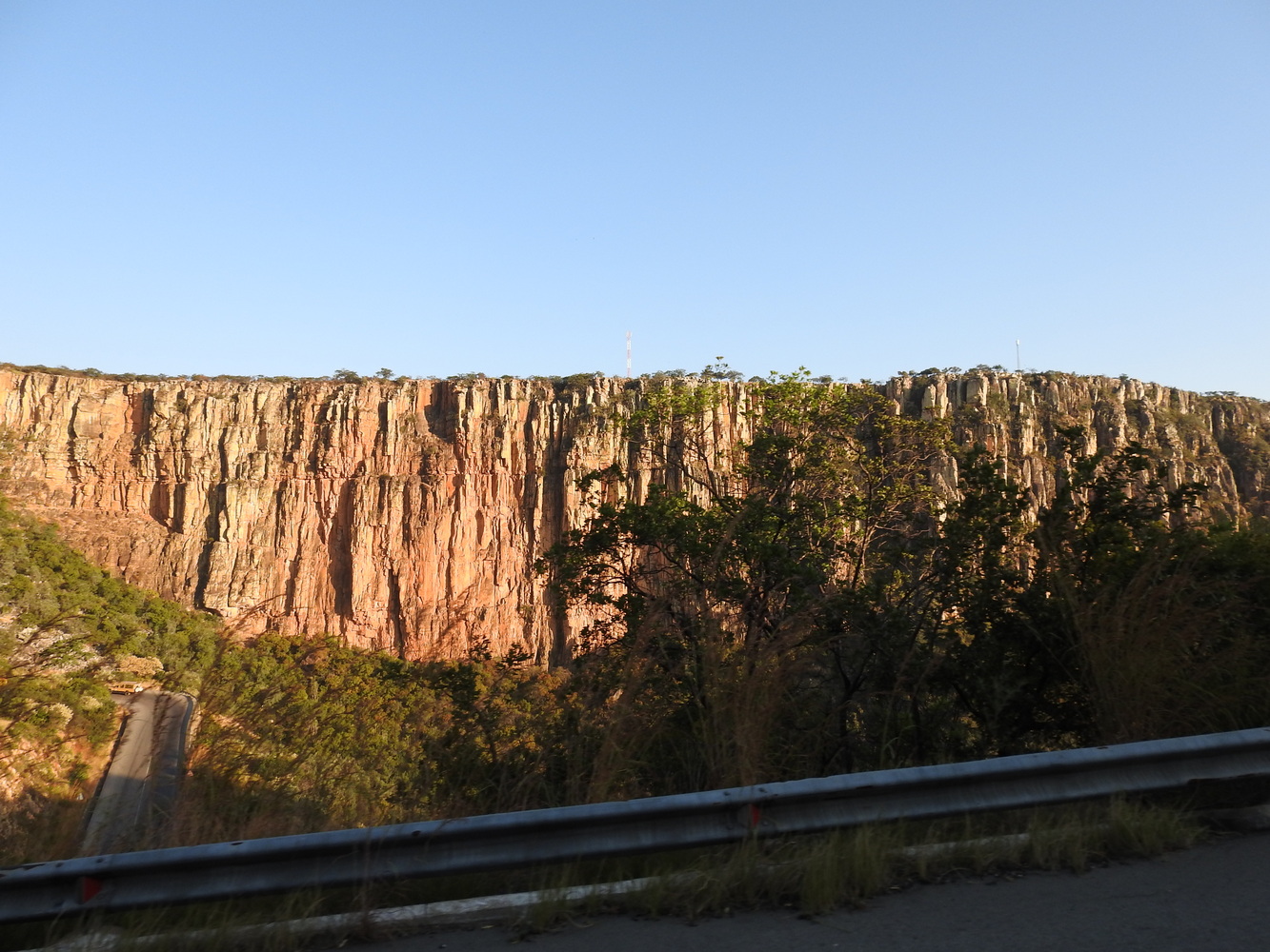
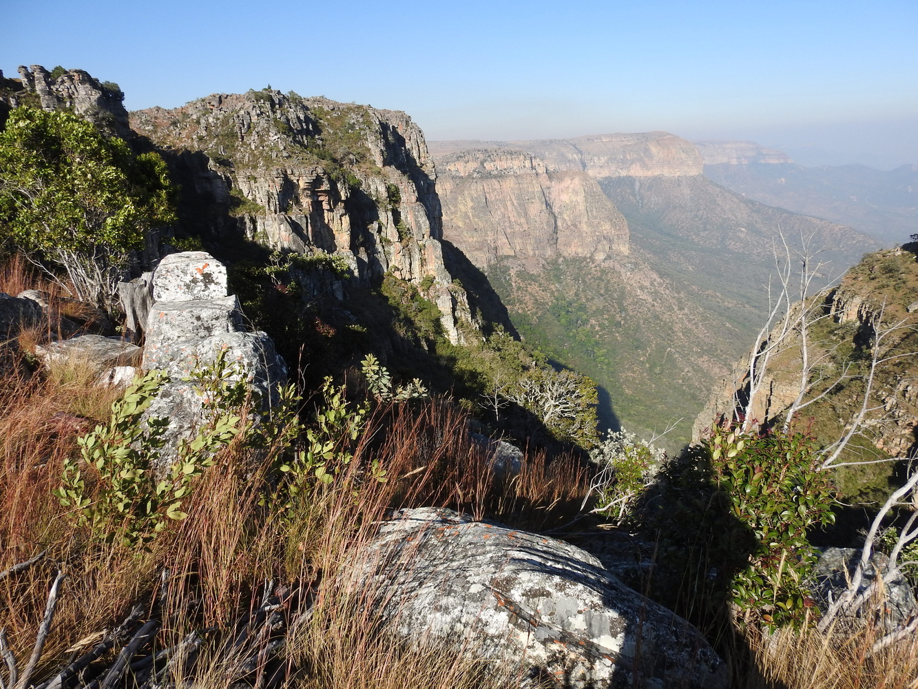
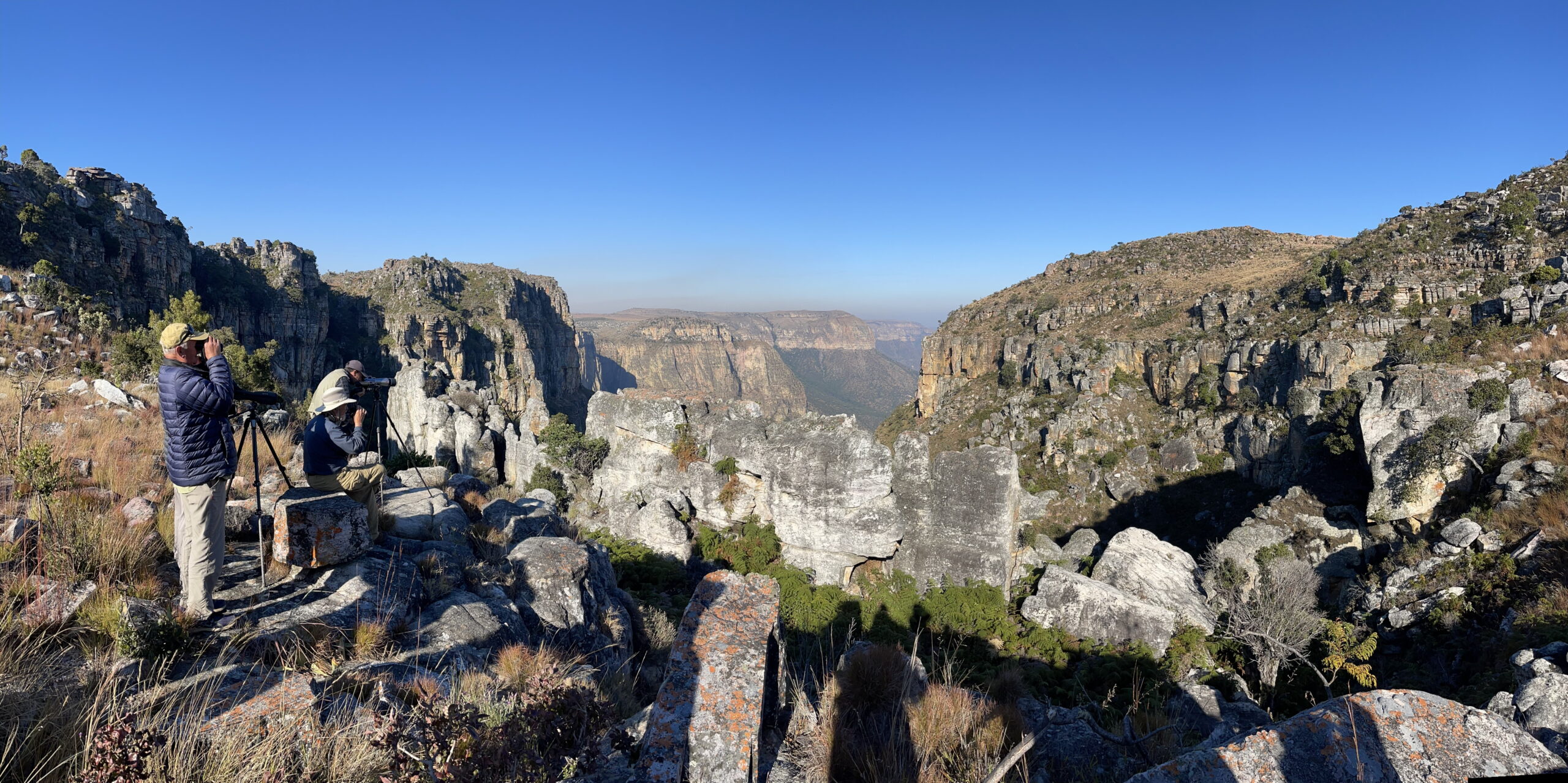
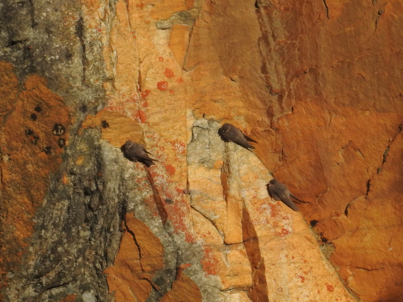
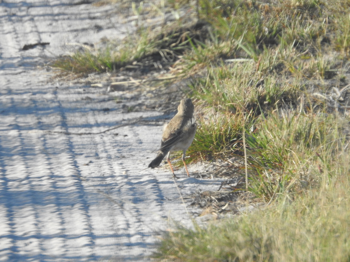
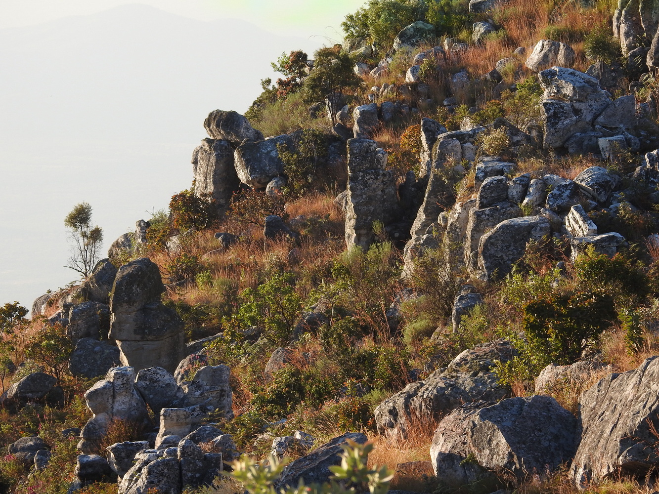
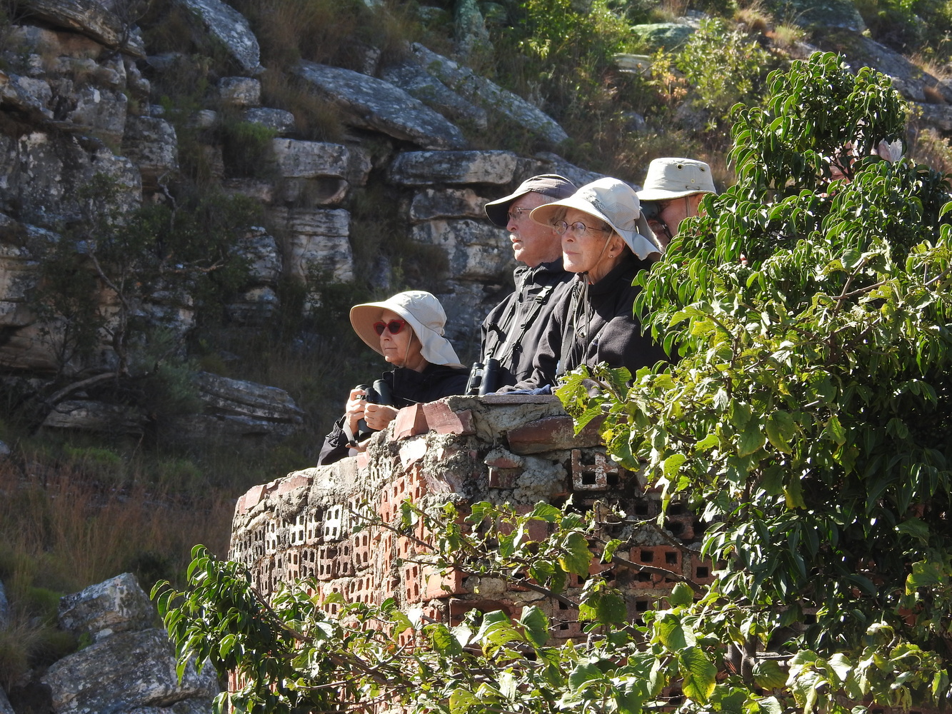
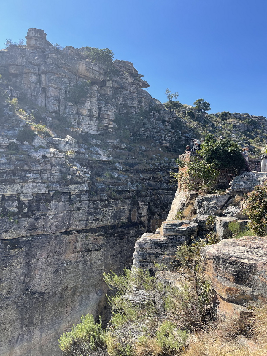
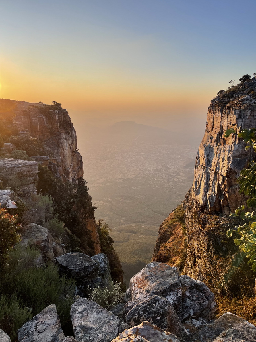
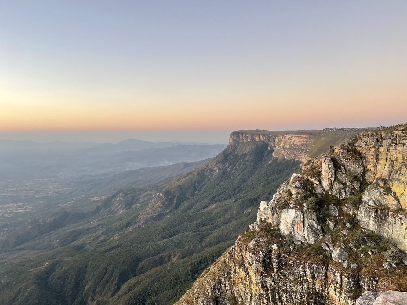
One of the main reasons to stay in Lubango is to visit the Tundavala Escarpment, These amazing formations create spectacular scenery as well as habitat for a few bird species that live nowhere else in the world.

To Luanda and Home
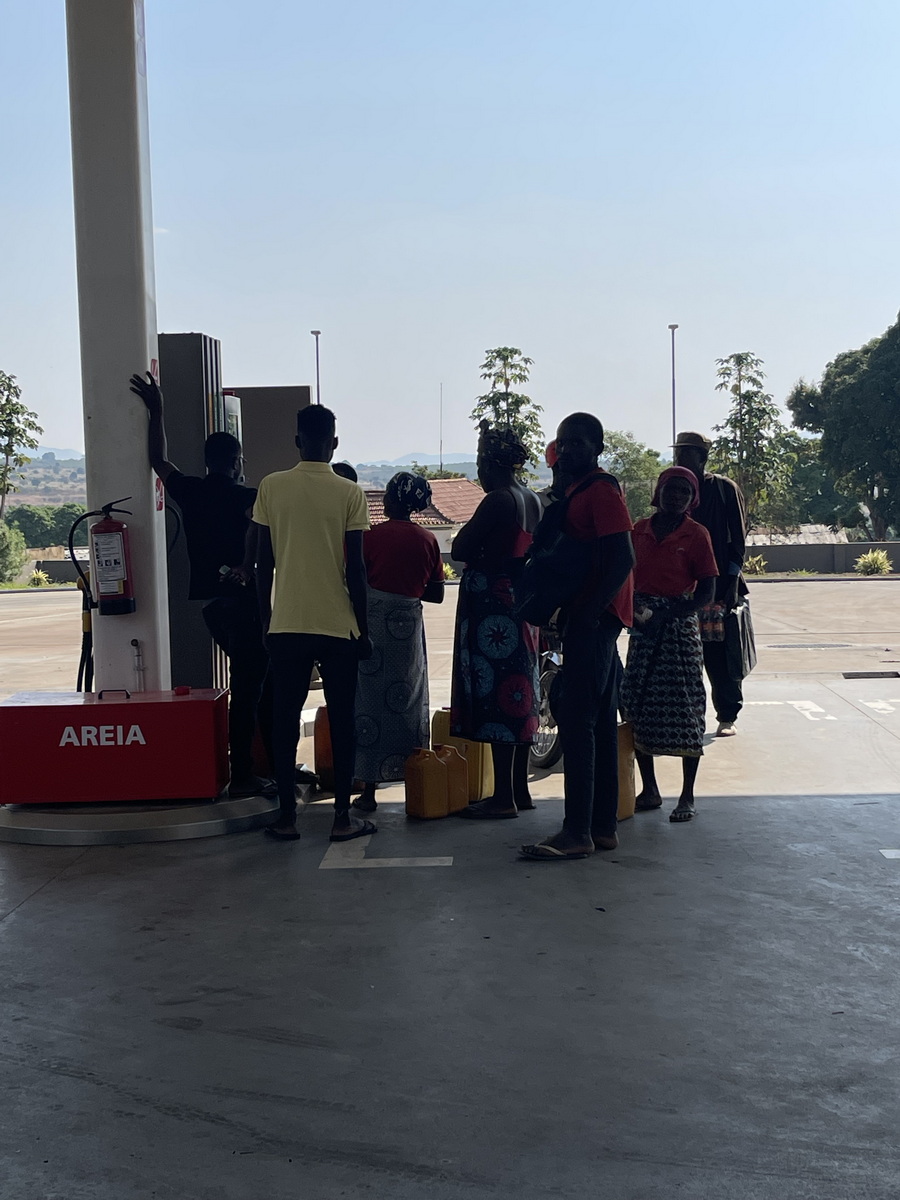
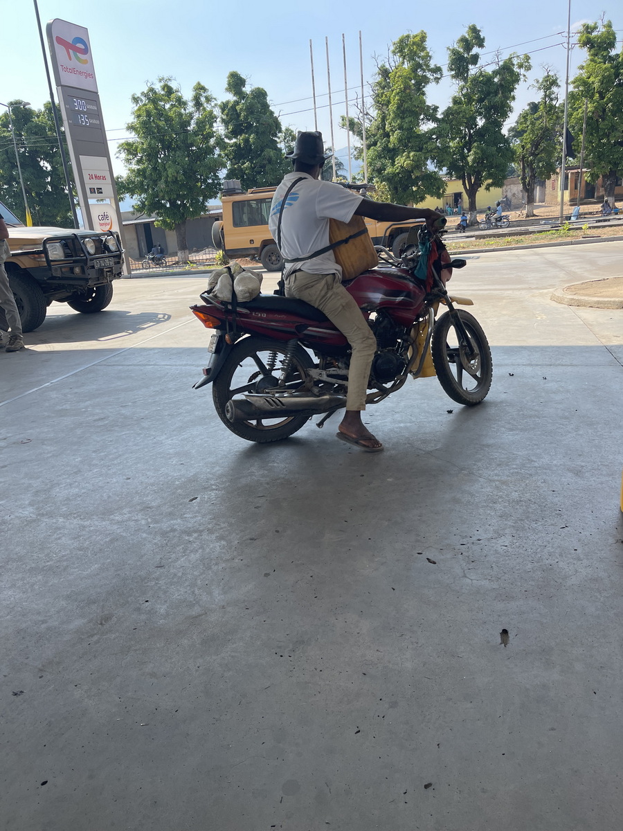
Throughout our trip, there had been protests and long lines because the government had just doubled the price of gasoline. This was because of an agreement with the World Bank and International Monetary Fund, in which Angola was supposed to reduce subsidies (thus increasing the price) gradually over several years. Instead, the government waited until after this year’s election and then increased the prices all at once. This meant an increase, in general, from $0.98/gallon to $!.85/gallon. Even so, for someone who makes a living by driving a motorcycle taxi, doubling a cost is a major concern.
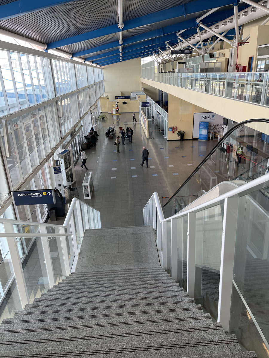
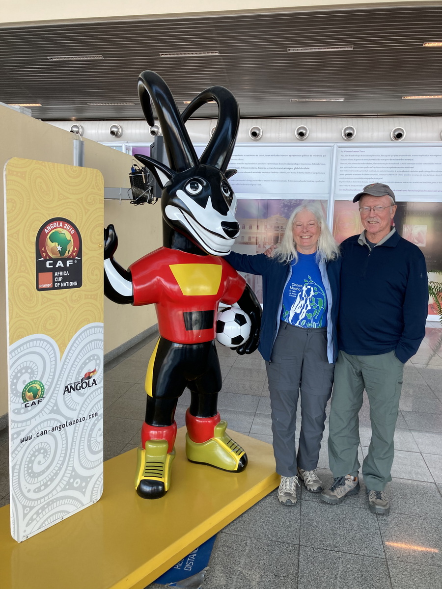
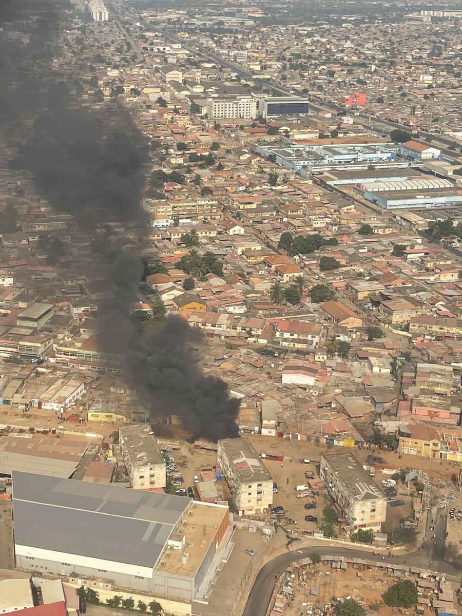
On our last morning, we were supposed to have a leisurely breakfast and relaxation since our flight wasn’t until 1:30 in the afternoon. But at 6:15 am, our guide Terry knocked on the door to say that there were going to be protests closing the major roads today and the hotel was afraid we wouldn’t get to the airport before the road was blocked. So we packed and ate breakfast quickly, left about 7:15, and got to the airport before anything was open. We had the airport to ourselves for several hours — except for the Giant Sable mascot of Angola’s Africa Cup of Nations soccer team. As we flew into Luanda, we could see fires and traffic jams on the streets in that city. So we were lucky we were just changing planes there.
We said good-byes to many of our traveling companions here, and turned our sights towards an overnight flight that took us (and some of our friends) to Lisbon. So long, Angola!