Bolivia from the Andes to the Amazon
- On December 1, 2023
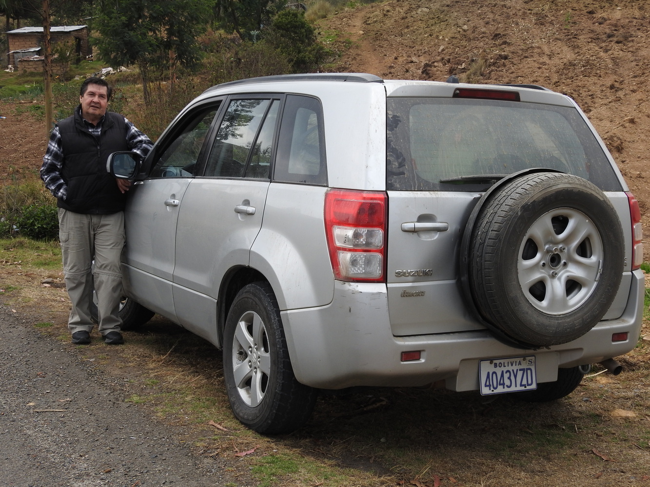
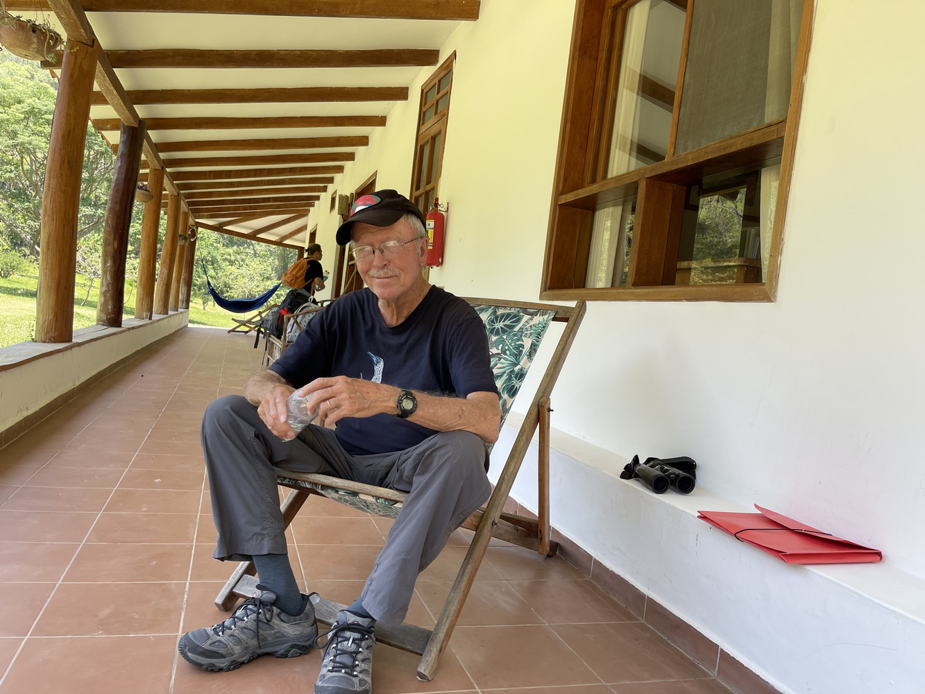
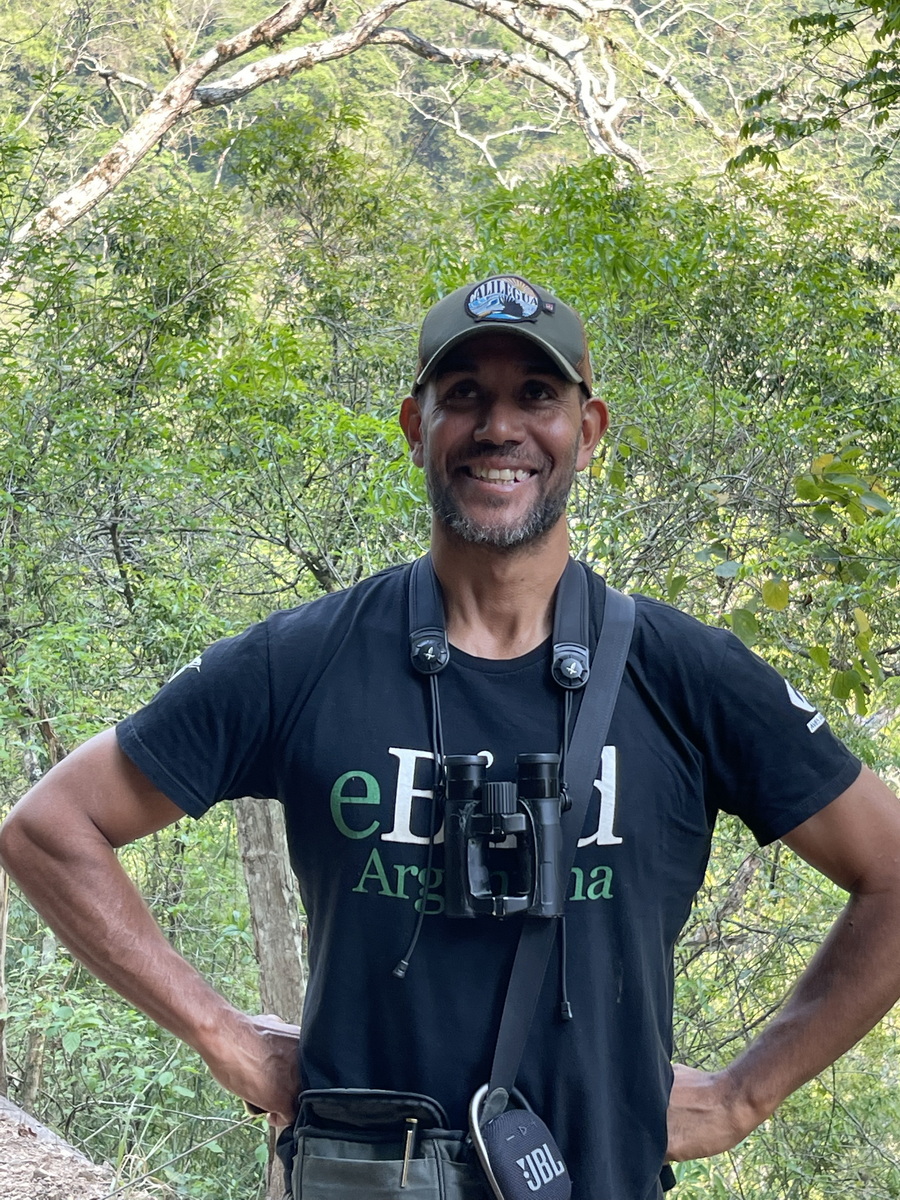
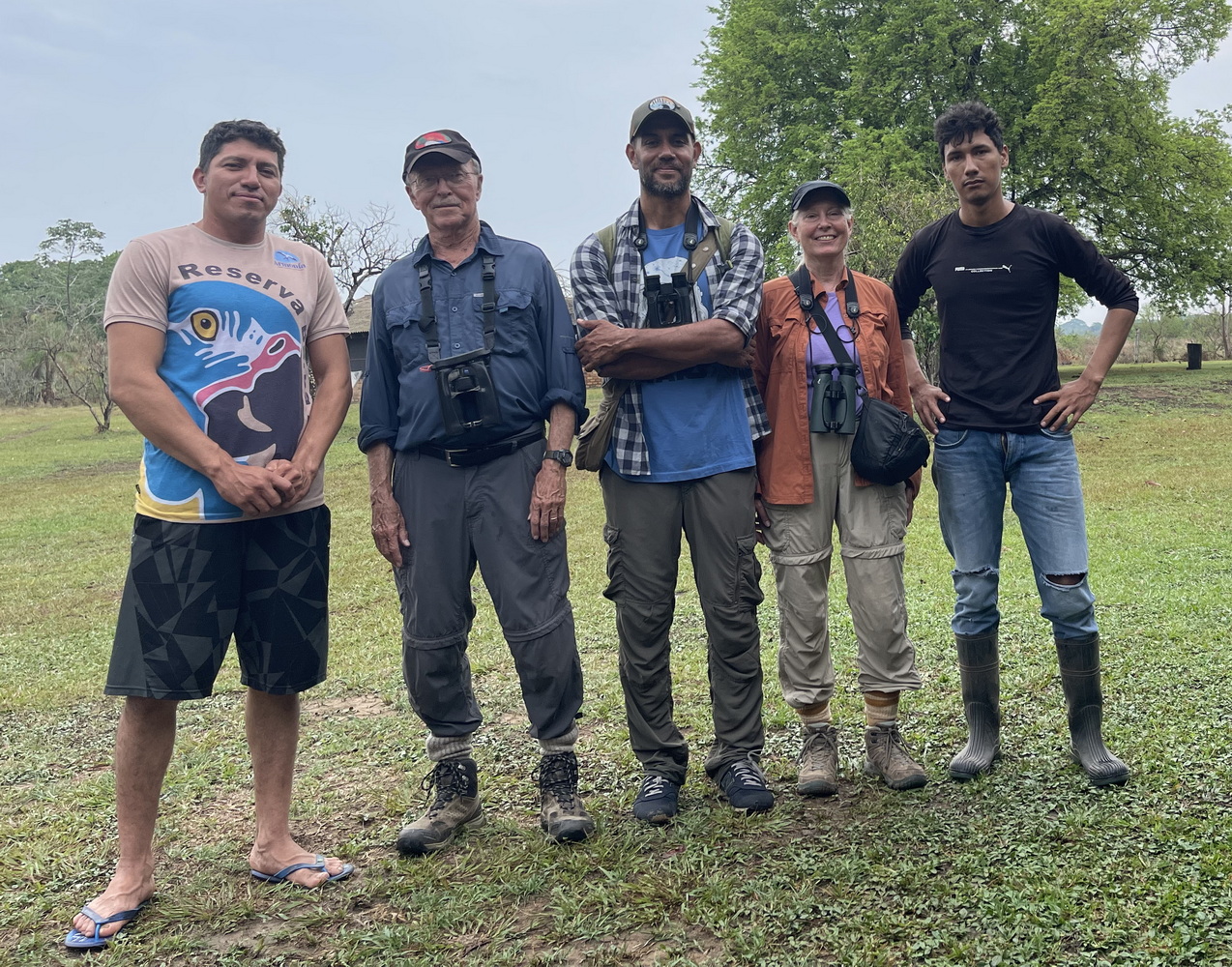
Our final foreign trip for this year was to Bolivia. It’s a country with great habitat and cultural diversity. We saw and learned a lot, even though there were many other things we didn’t have time to explore. Our guide was a friend we’ve traveled with before, Emiliano Garcia Loyola (nicknamed Indio), with Sereima Tours. Our driver Hugo, with Rosario Tours, did an very difficult job while remaining calm and sharing his country’s culture. Here is a photo essay of the trip. If you’d like to find out more about the photos, let us know – we’d love to talk about them! And for more on Bolivia’s biodiversity, check out the article on Terry’s “Saving Terra” substack!
Where is Bolivia?
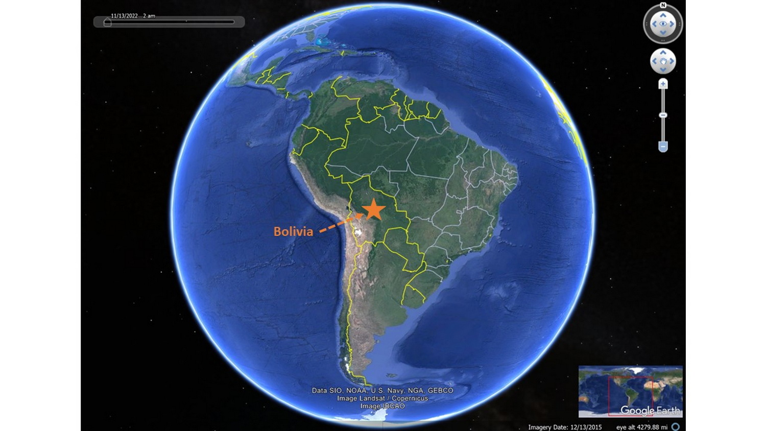
Bolivia is a land-locked country in the central part of South America, as shown below.
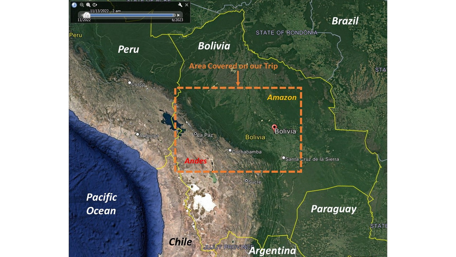
The next map shows Bolivia’s neighbors, its relationship to the Pacific Ocean as well as the dramatic changes in elevation from the Andes in the western part of the country to the Amazon in the east. The orange rectangle shows the area we visited on this trip.
Uniquely Multinational
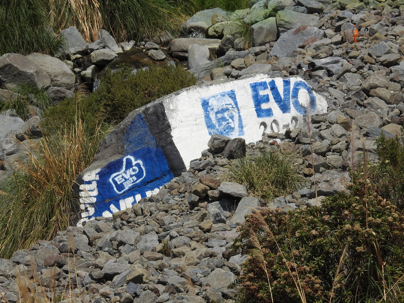
Bolivia has the largest share of indigenous population of any South American country, about 60%. Those indigenous people belong to 36 different nationalities or language groups. Bolivia is rather unique in recognizing the major indigenous communities as part of its Plurinational Government. For this reason, there are two Bolivian flags. One looks like a fairly traditional European one, while the other, the Wiphala, is the banner of the indigenous peoples. Its colors represent: Red: The Earth and the Andean man; Orange: Society and culture; Yellow: Energy and strength; White: Time and change; Green: Natural resources and wealth; Blue: The Cosmos; and Violet: Andean government and self-determination.


Several Steps to Begin the Journey
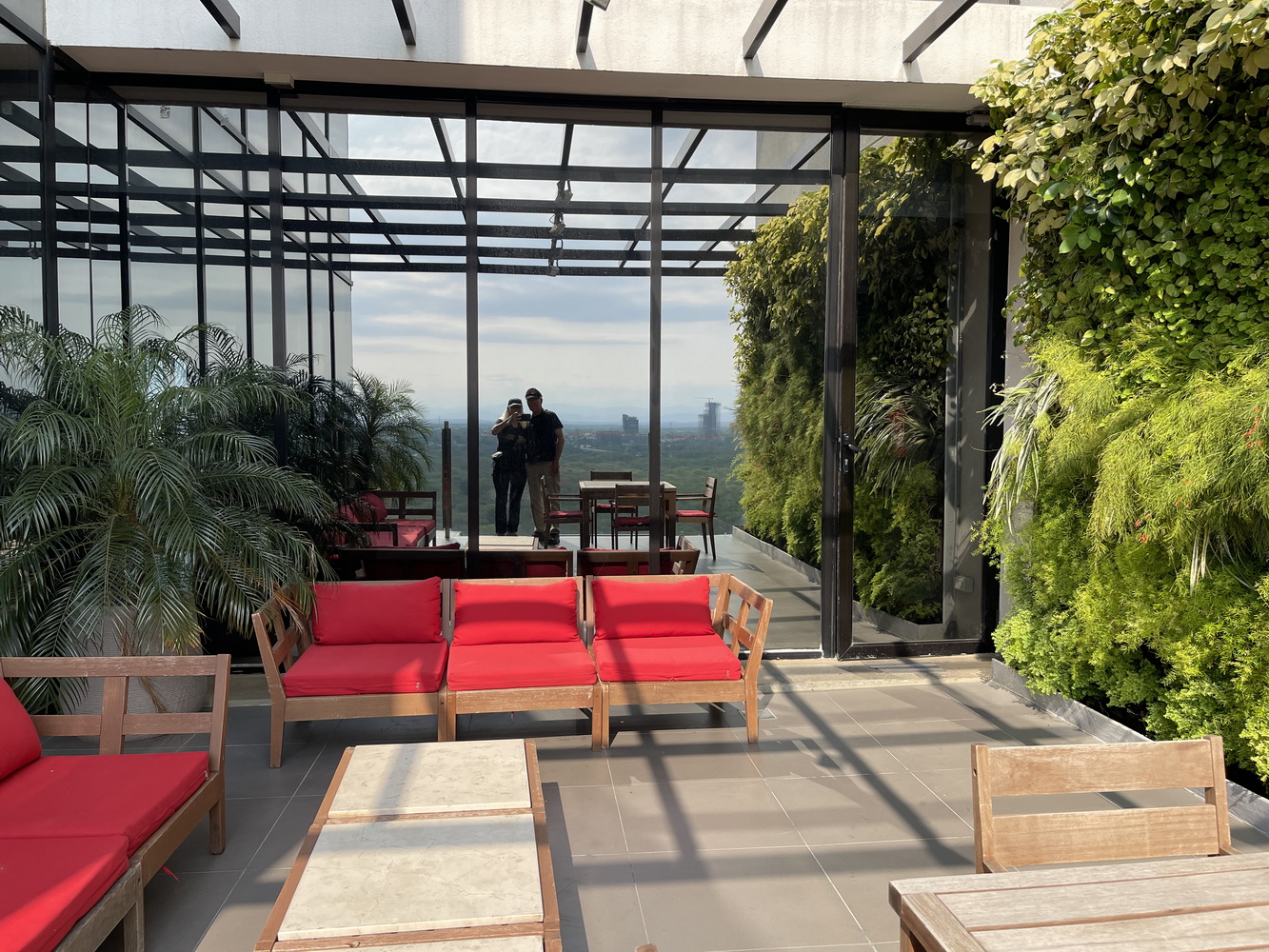
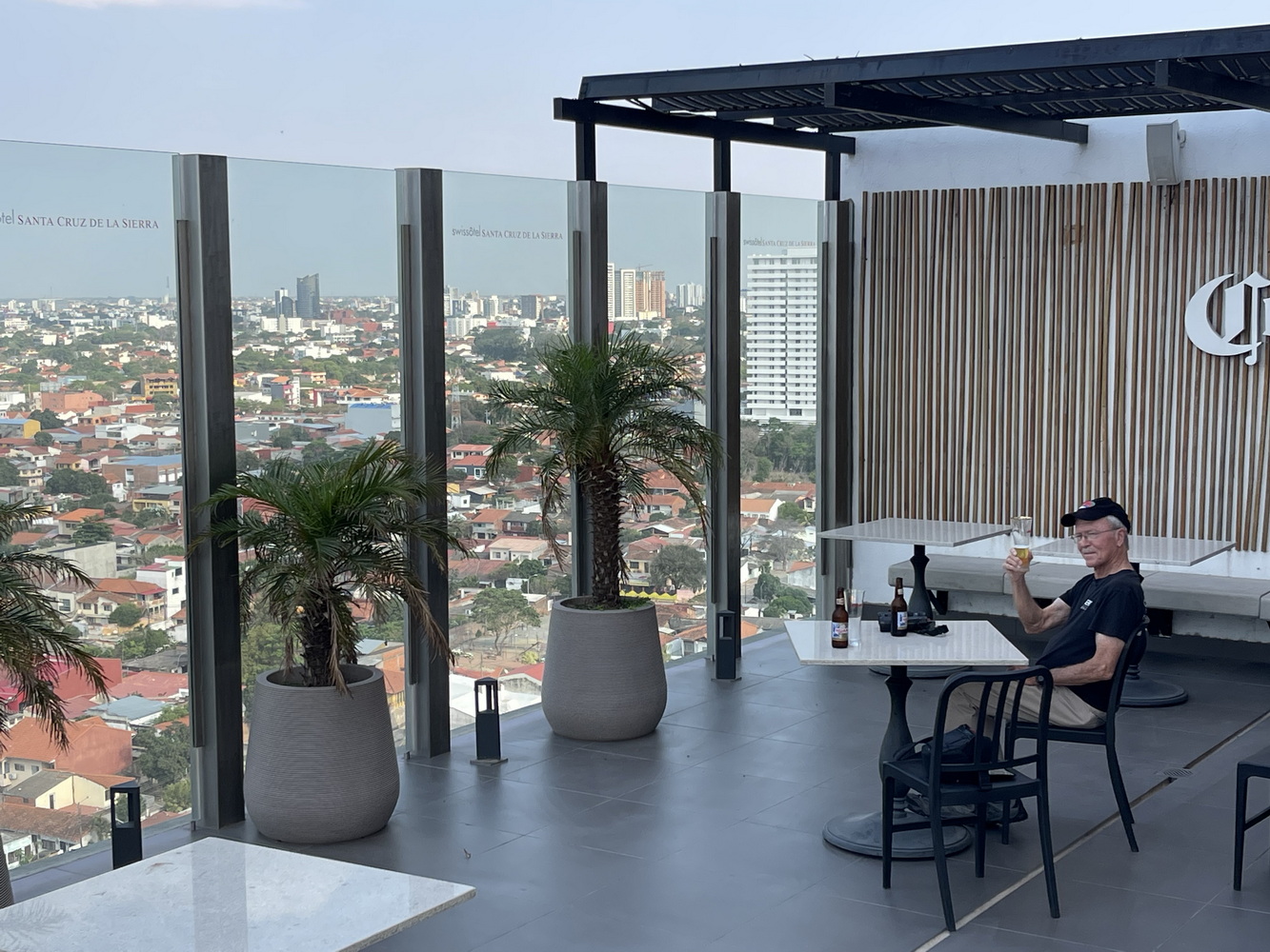
We left Dallas on an overnight American Airlines flight to São Paulo, Brazil. Arriving early the next morning, we flew onwards to Santa Cruz de la Sierra, in the Bolivian lowlands. It’s the largest city in Bolivia, with about 1.8 million people living in the metropolitan area. We enjoyed one night there at the Swissotel, a fairly new hotel just beyond the fourth of the city’s nine ring roads.


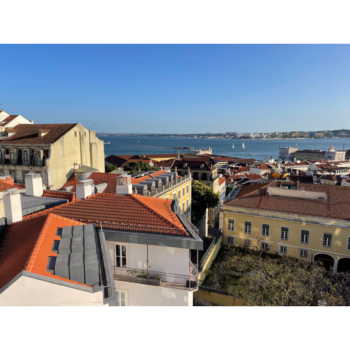
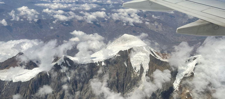
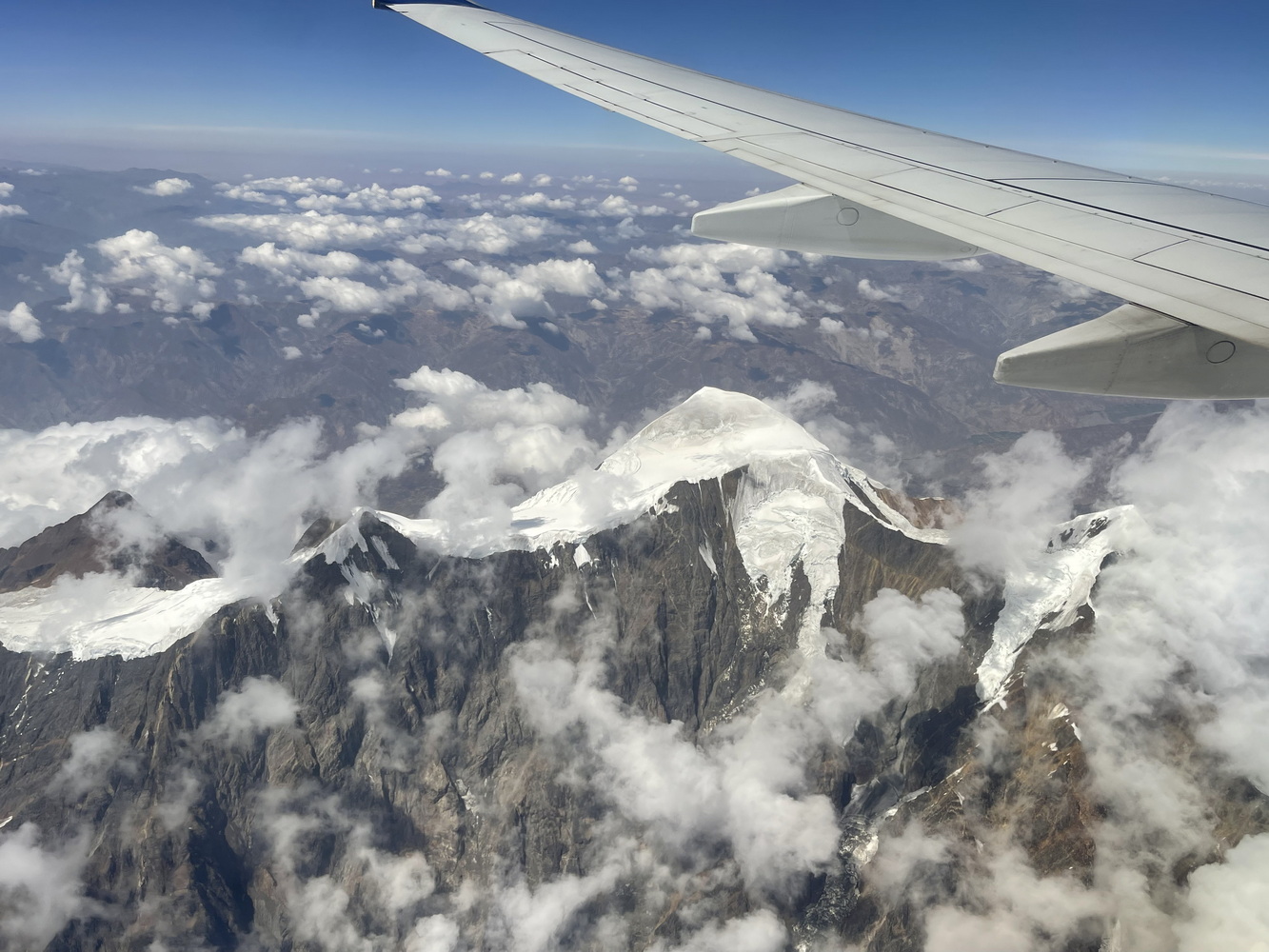
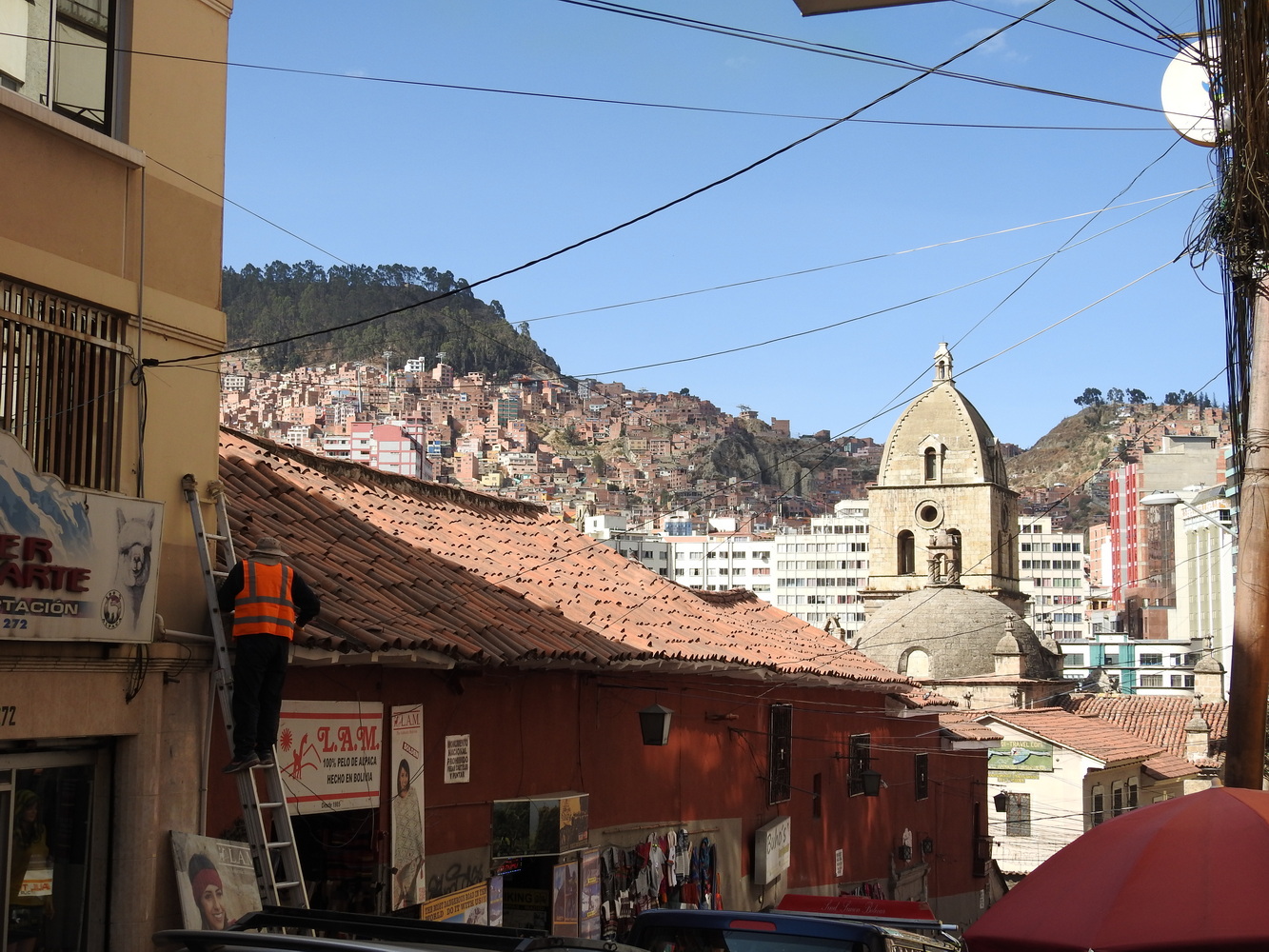
The next day, we flew to La Paz (officially, Nuestra Señora de La Paz). At almost 12,000 feet elevation, La Paz is considered the highest capital city in the world (technically, La Paz is the administrative capital, while Sucre is the constitutional capital). The flight in to La Paz is spectacular!
The city’s population is about 800,000 but the region has about 2.2 million residents. It is located in steep terrain; development is dense and undeterred by the slopes.

Experiencing La Paz
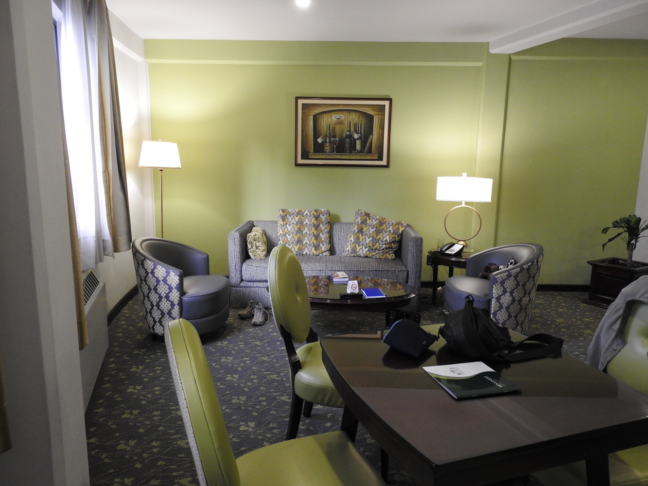
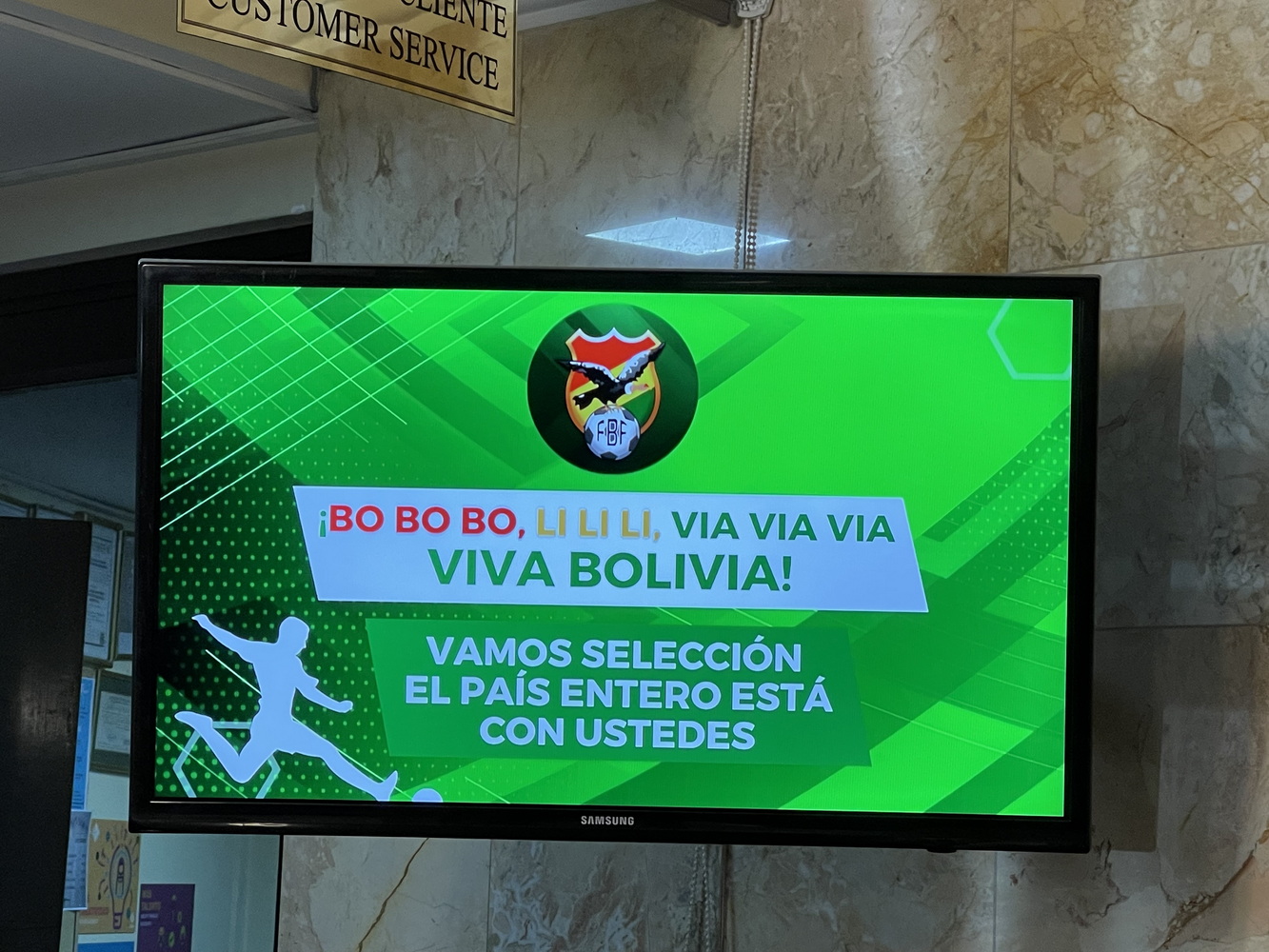
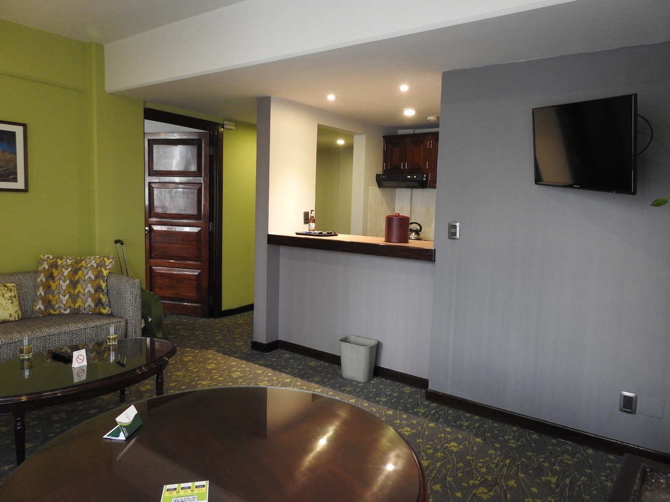
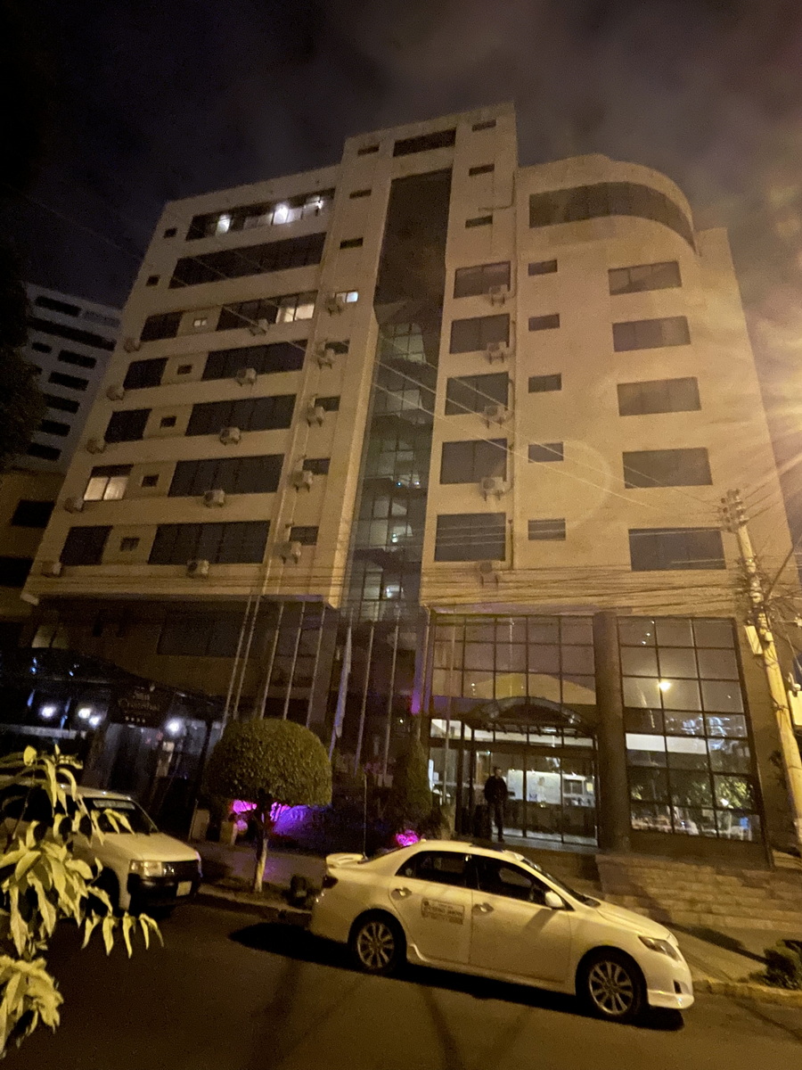
We stayed at the Ritz Apartotel, on a plaza in the central part of the city. When we arrived, we found that the hotel was the headquarters for the selection of the national football team (so think of a hotel hosting the NFL draft!). Many facilities were taken over by the team, but as our driver said “there’s probably nowhere in the country with better security right now”.
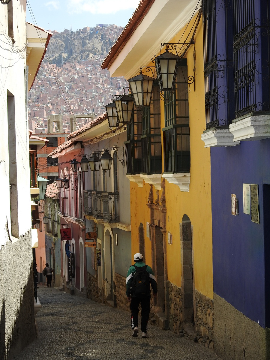
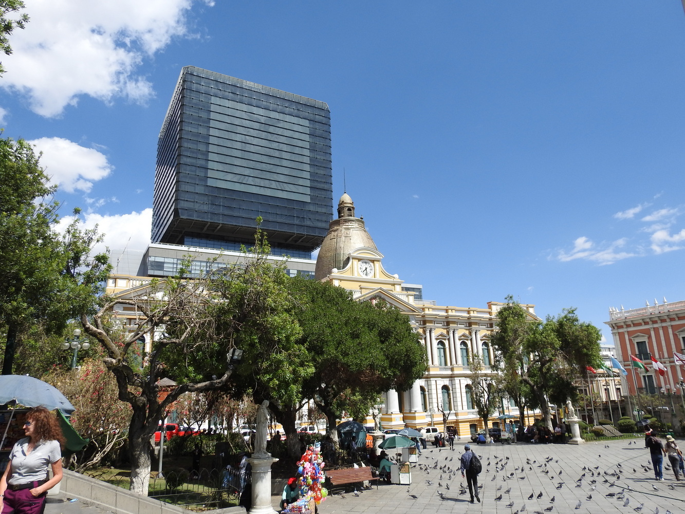
The guide who met us at the airport, Fausto Lopez, took us on a fascinating tour of the city that afternoon. It began in the Old City, built by the Spanish in the 16th century.
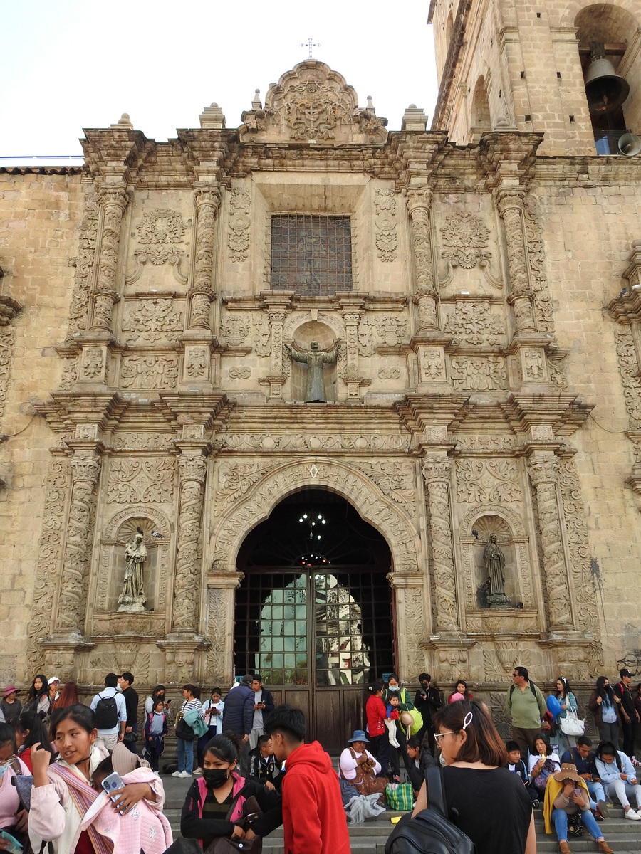


The Plaza Murillo, named for a revolutionary martyr hanged here in 1810, is the central location for government buildings and protests.

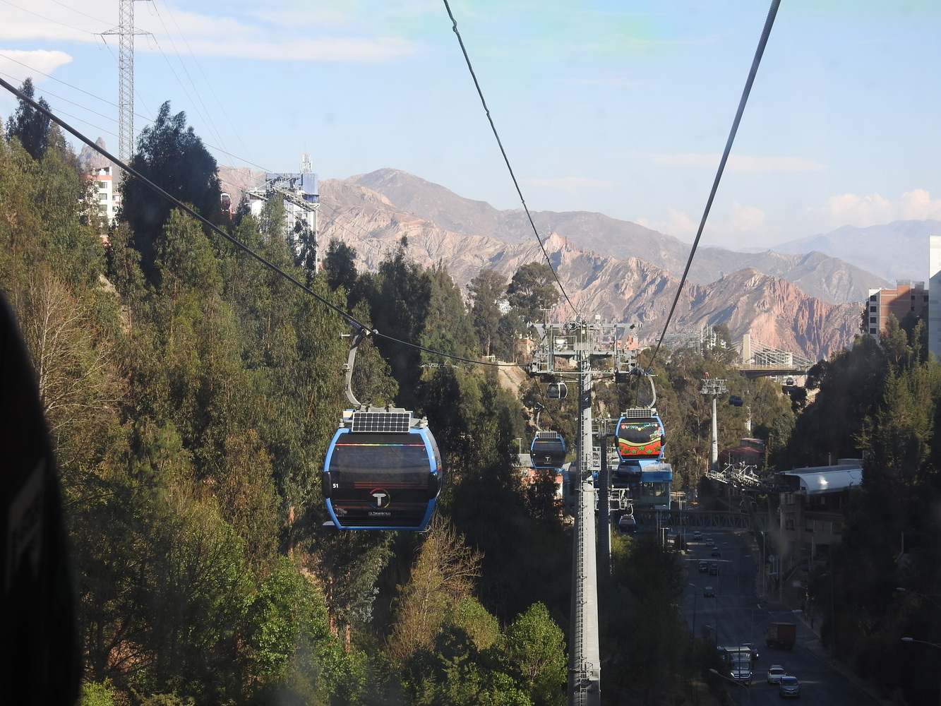
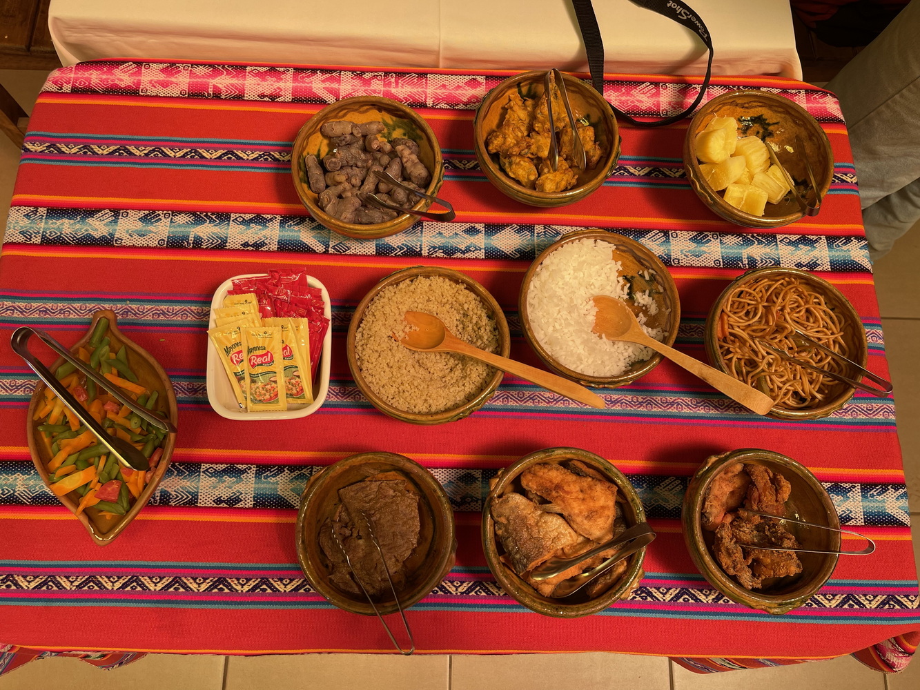
We also saw more modern parts of La Paz. Their Mi Teleferico is really impressive — a skyway system that works for the residents rather than just tourists and runs on the shortest distance between points on separate mountain slopes. We also had a fantastic dinner at Gustu, which specializes in modern interpretations of indigenous Andean food.
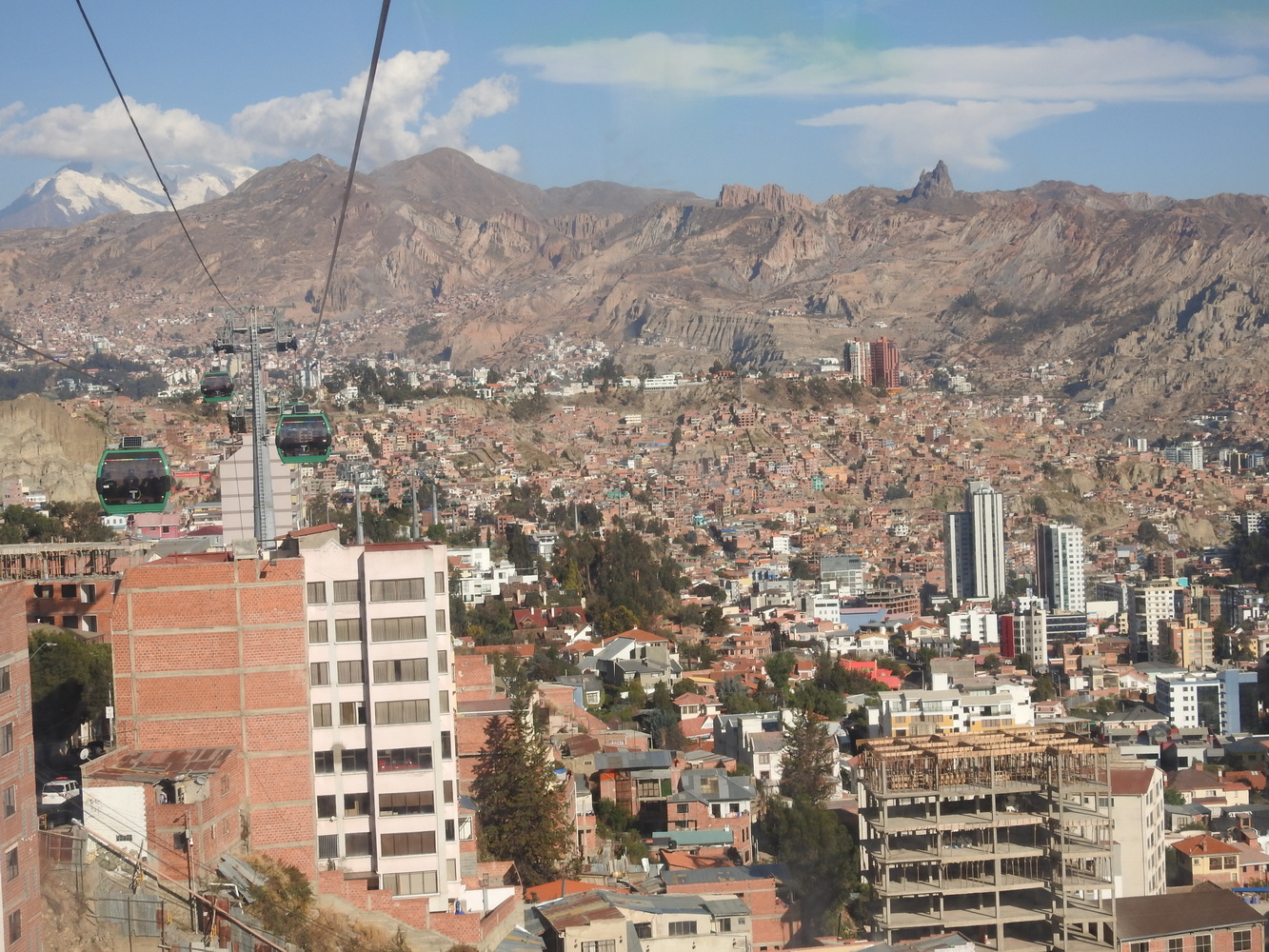


On the north, La Paz is bordered by the separate community of El Alto. Though technically a suburb, El Also has a larger population (about 1 million) than La Paz. While La Paz has a clear Spanish heritage, El Alto is a proudly indigenous community of mostly Aymara and Quechua peoples. It is growing fast and crazily. We drove through it several times.


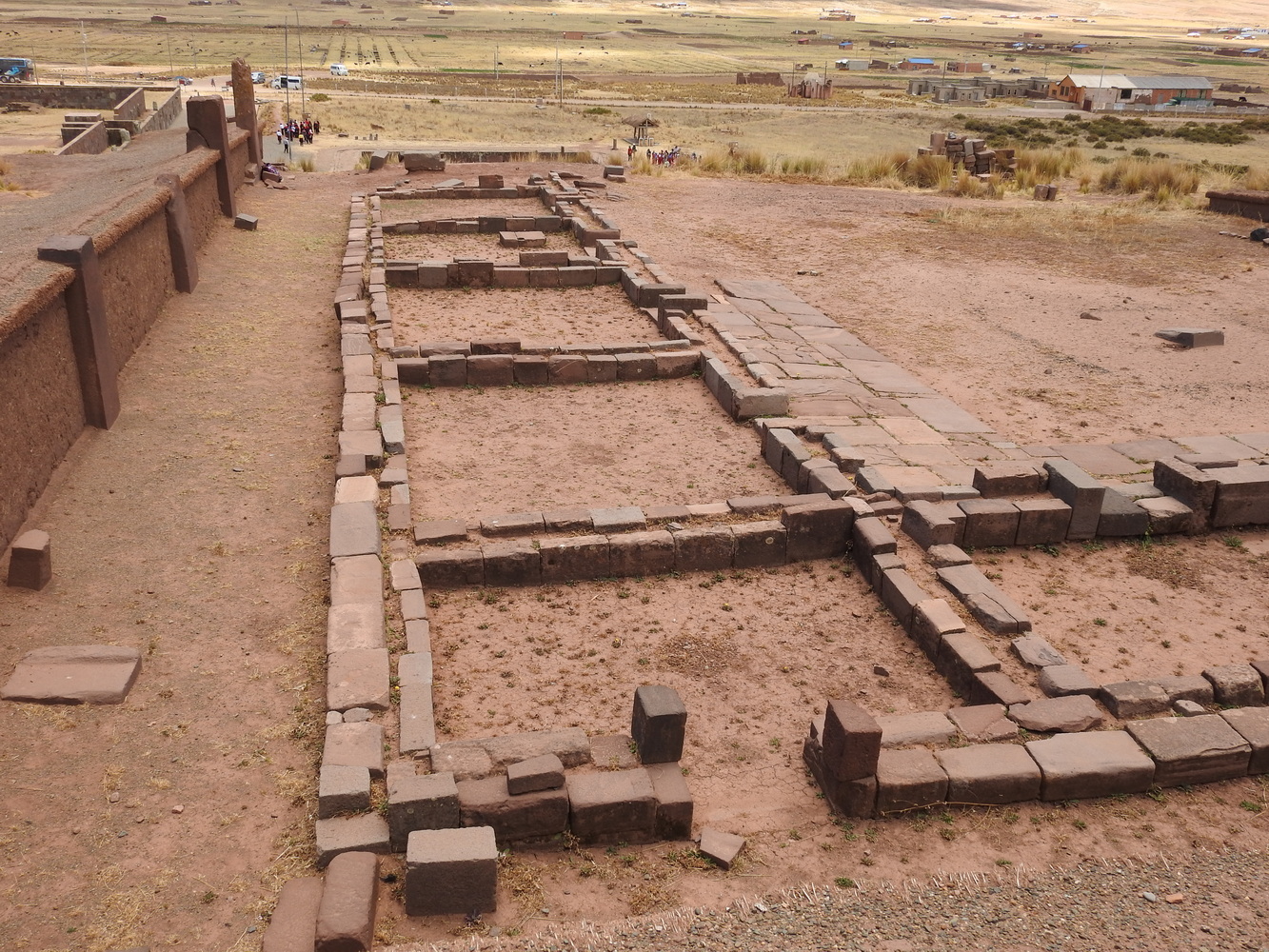
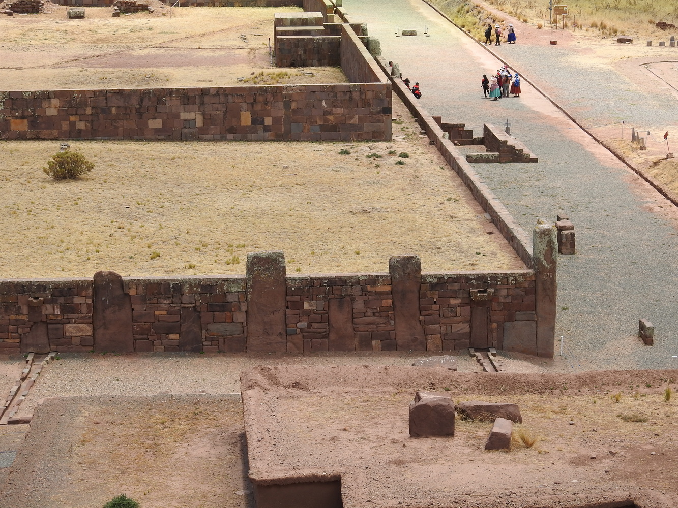
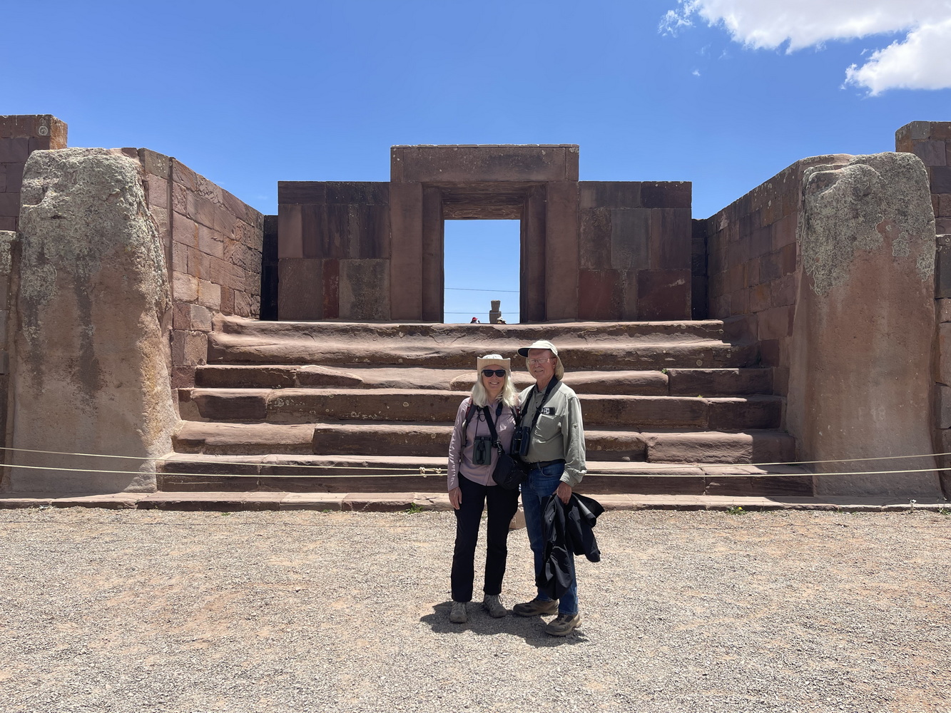
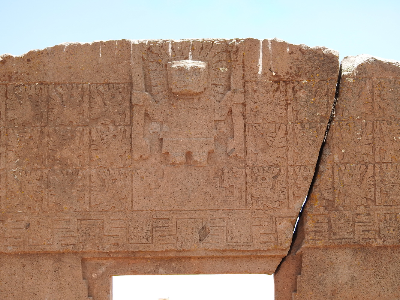
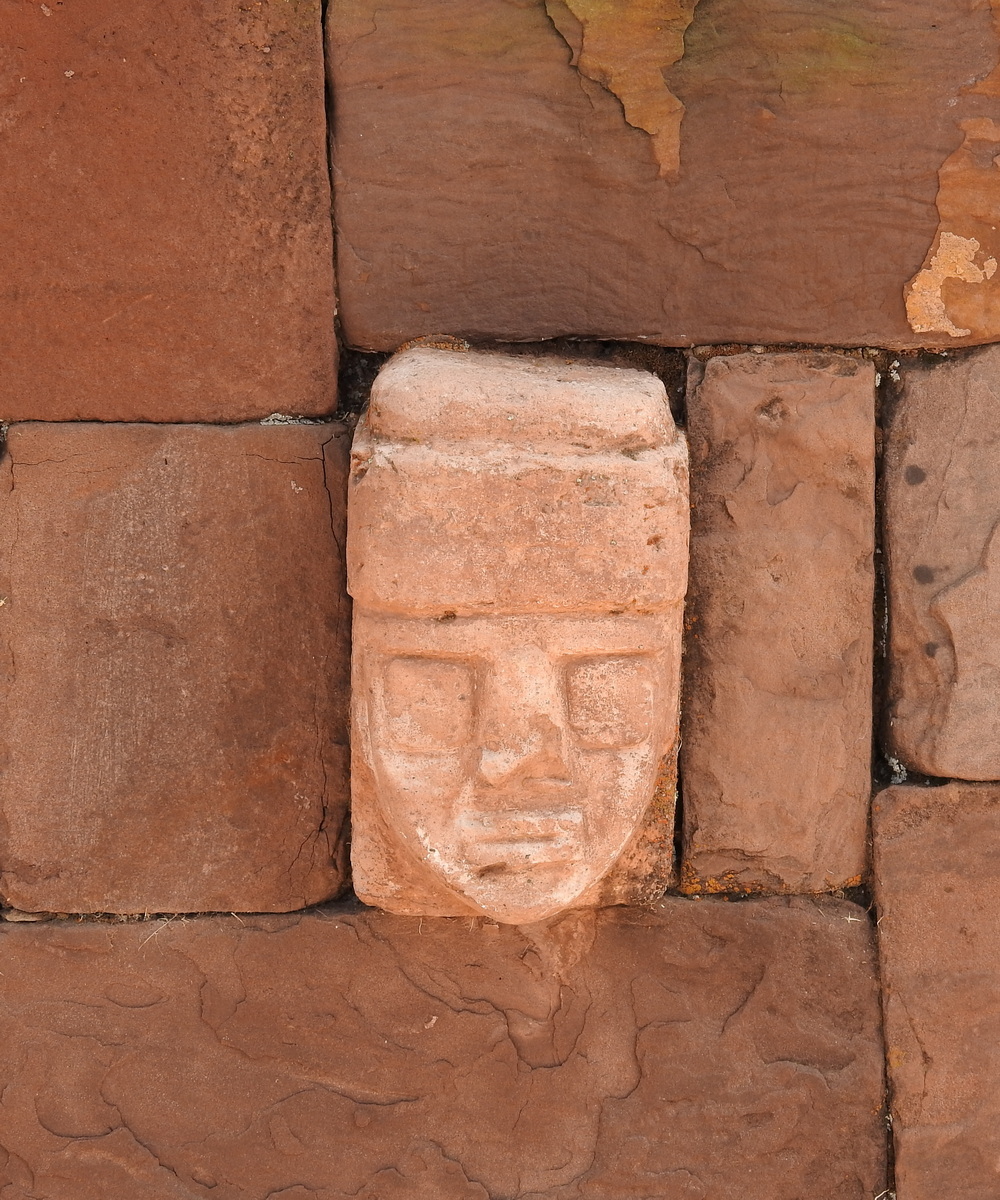
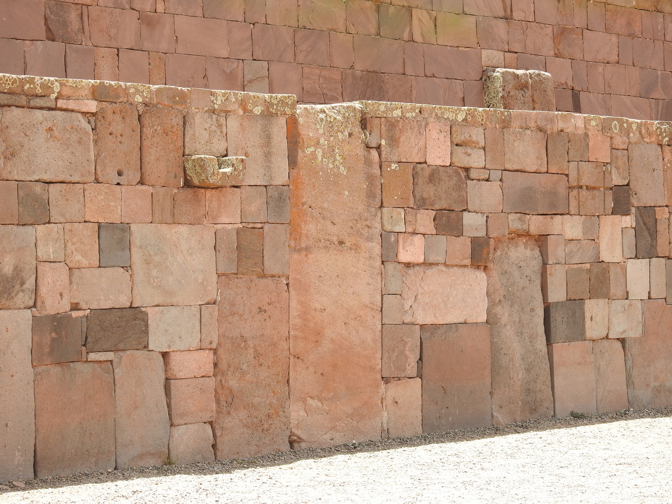
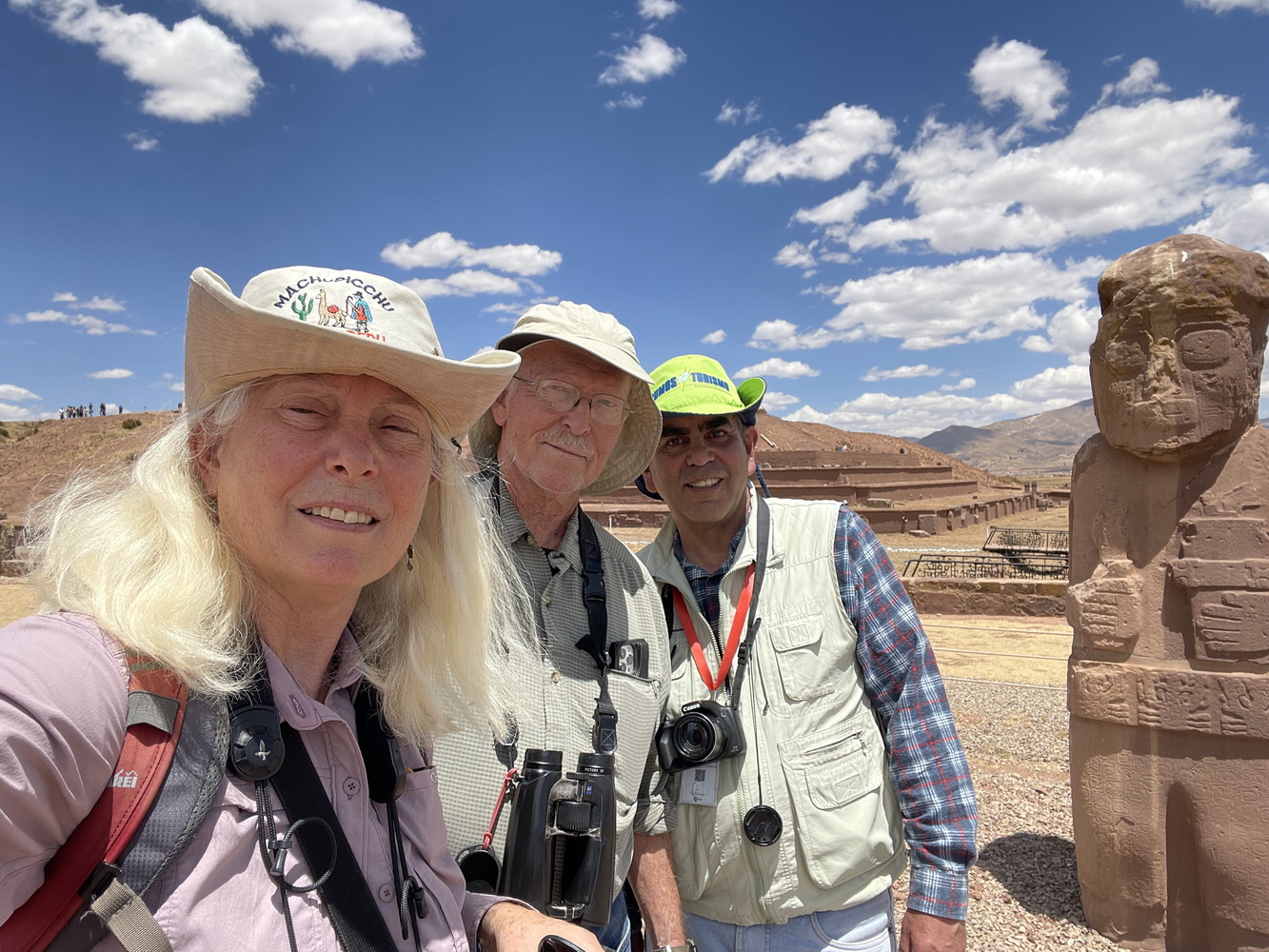
Ancient Tiwanaku
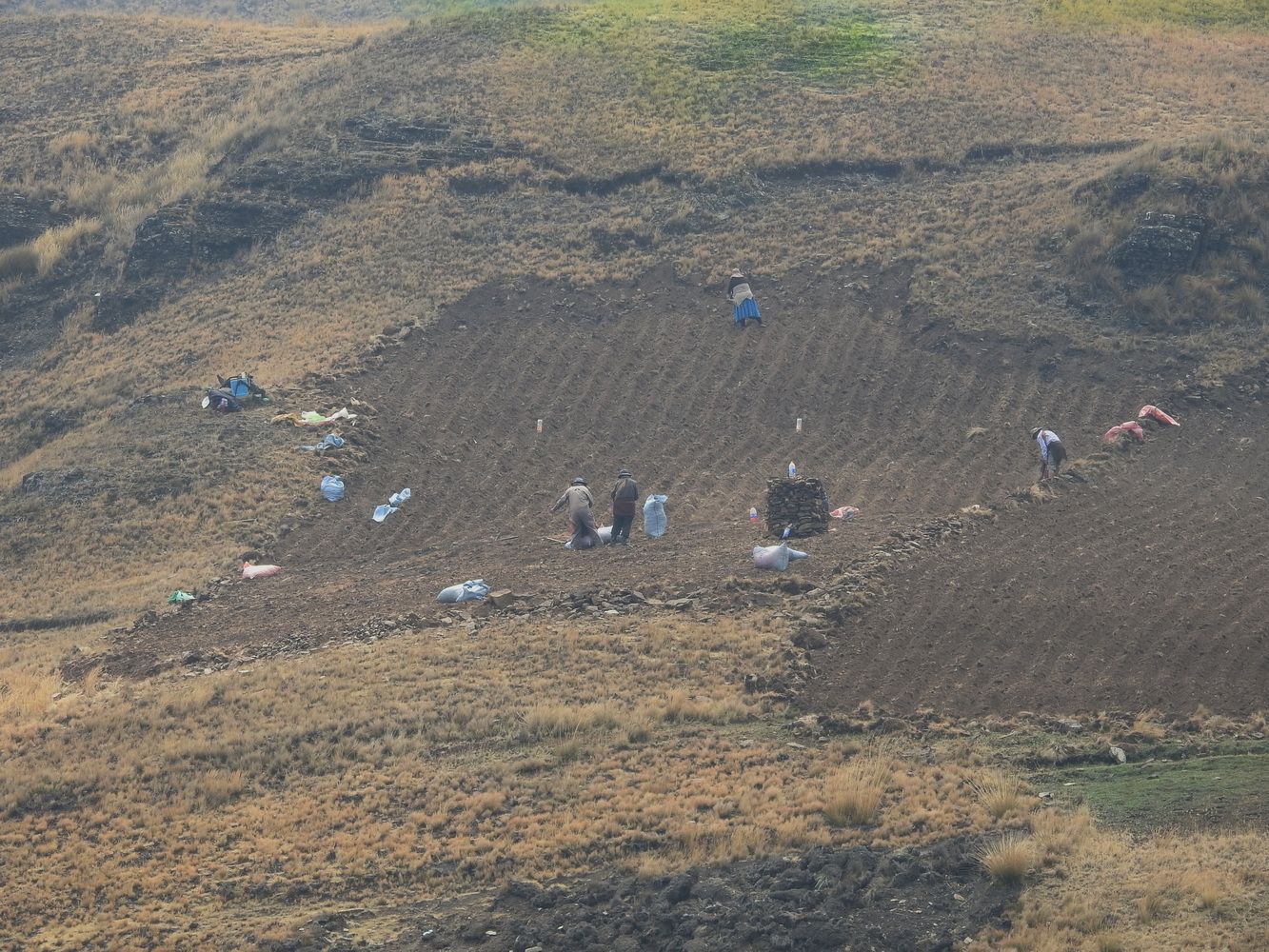
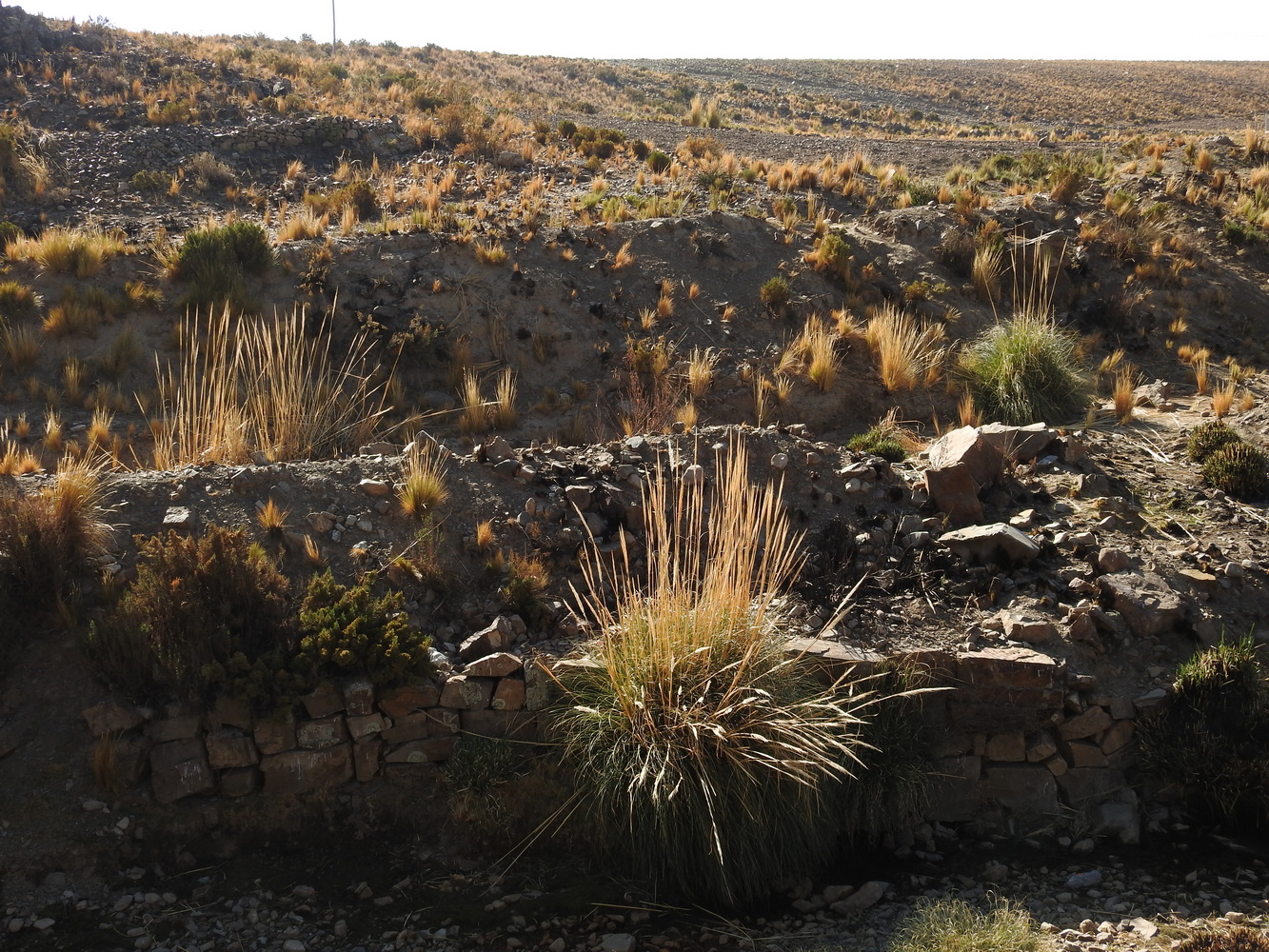
We took a day trip to the ruins of Tiwanaku. This community was the center of the Andean empires that came before the Inca. It was founded in about 1500 B.C. and the empire lasted about 1,000 years! They had a unique system of agriculture using ‘sukakullo’ irrigation; it’s thought to have supported about 1 million people in this valley at the peak of the civilization. The collapse of the civilization was due to drought and is believed to have happened in as little as 50 years.

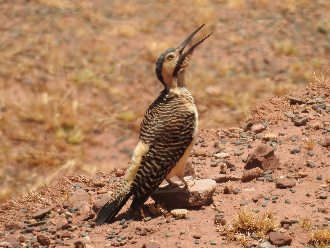


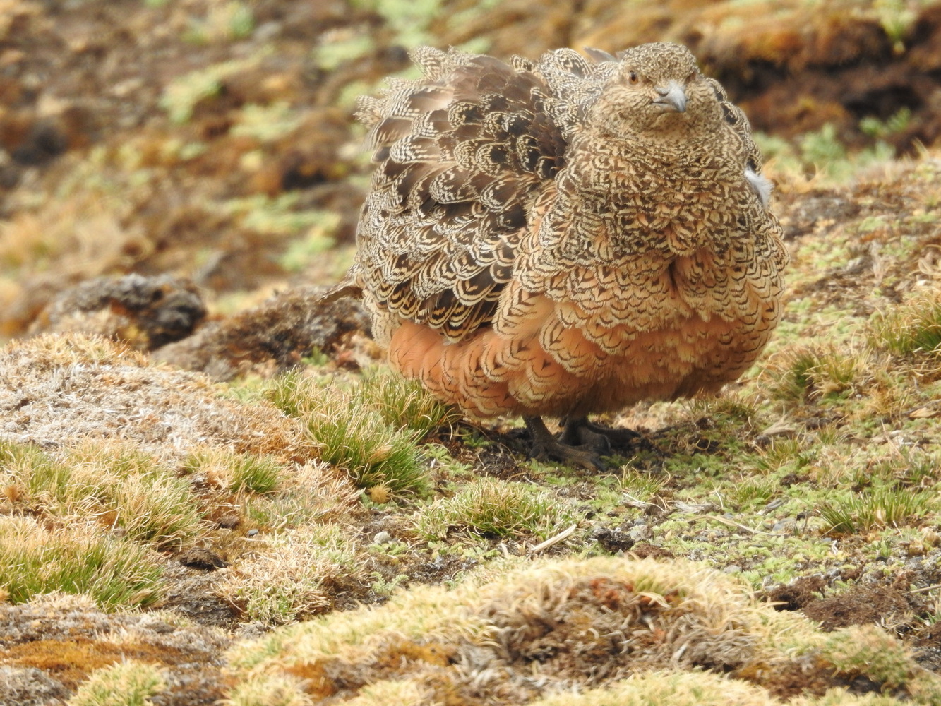
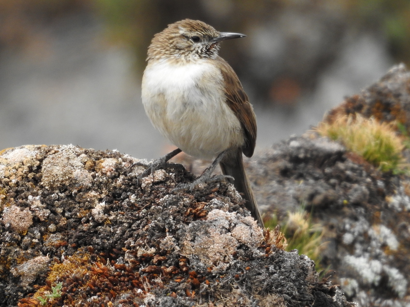
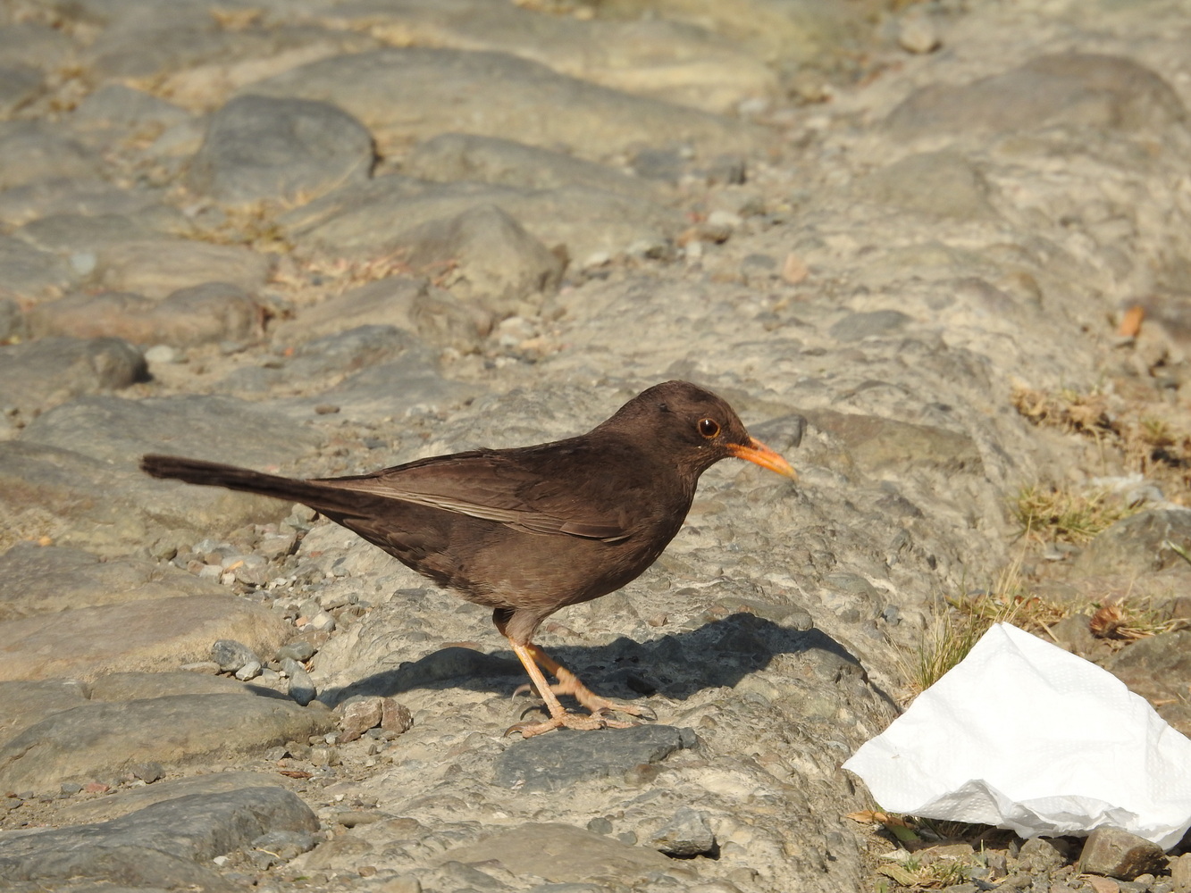
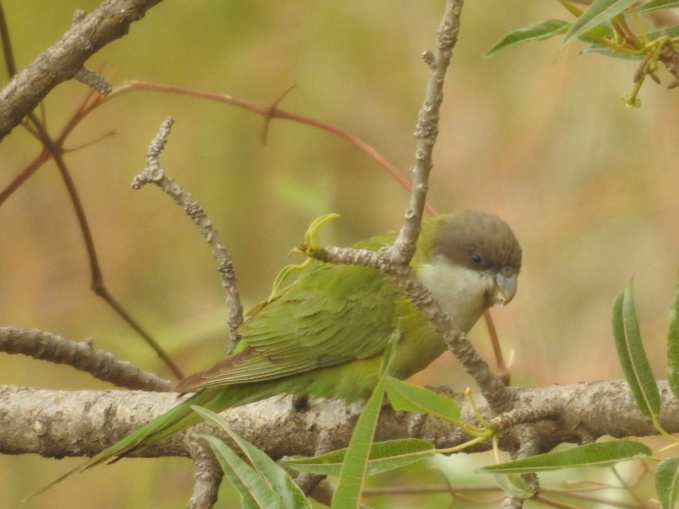
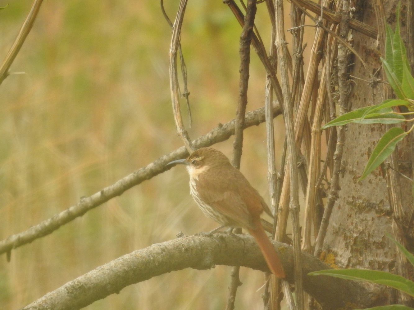
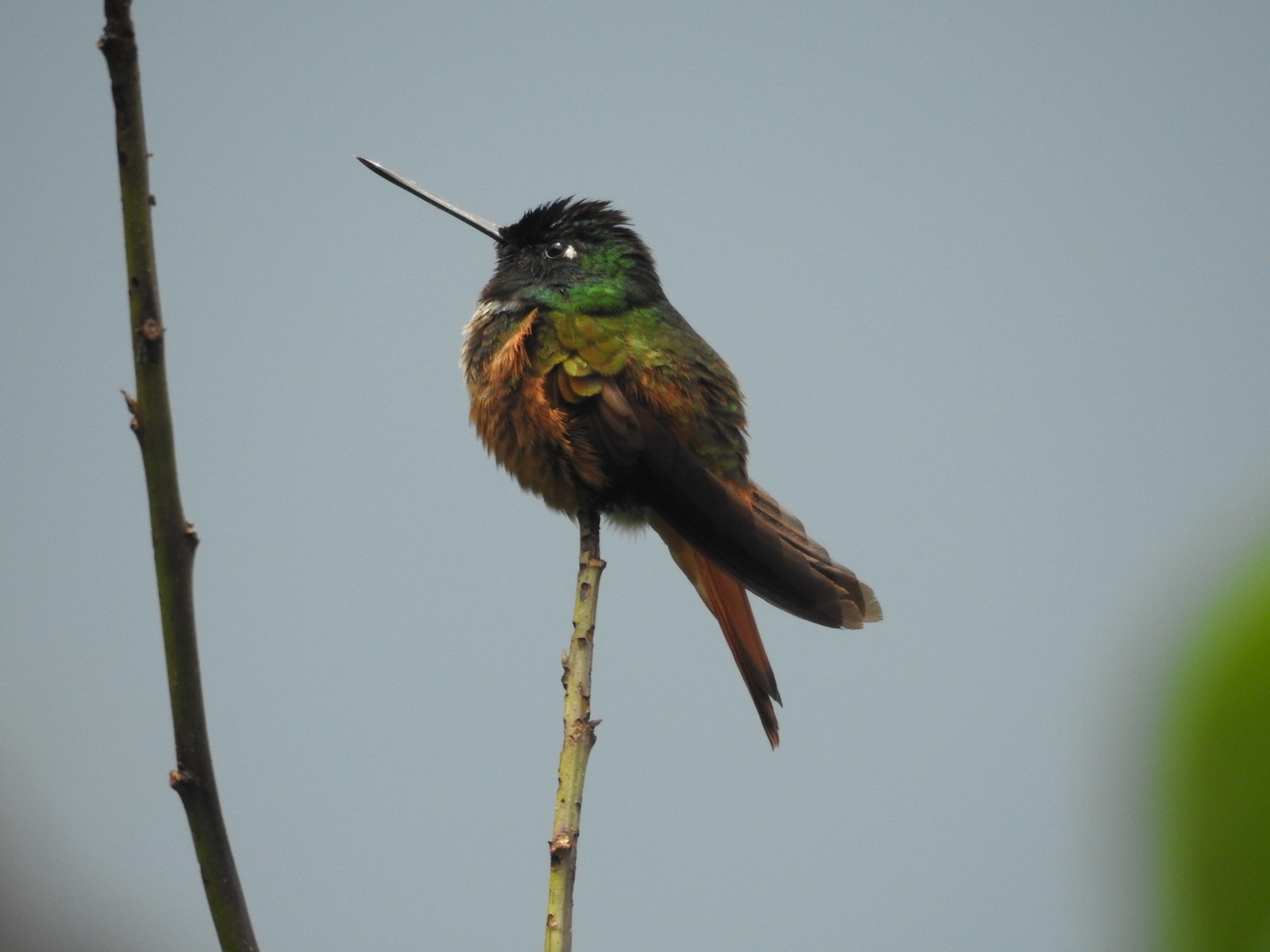
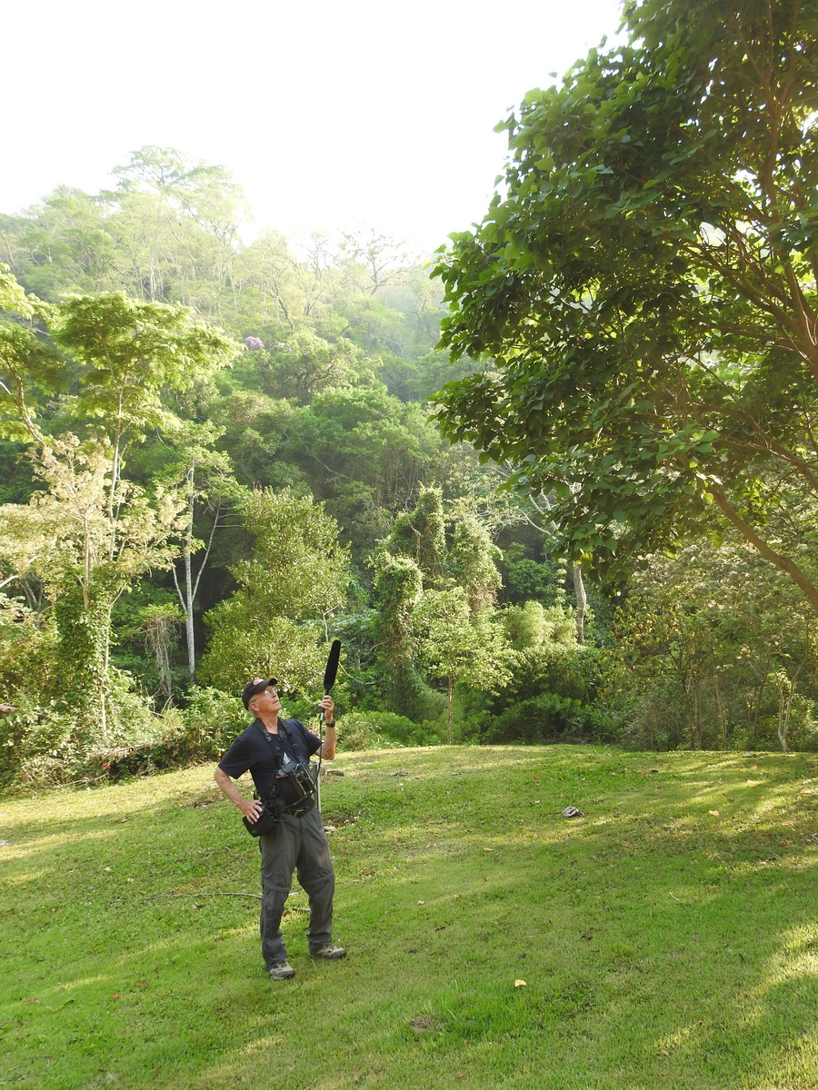
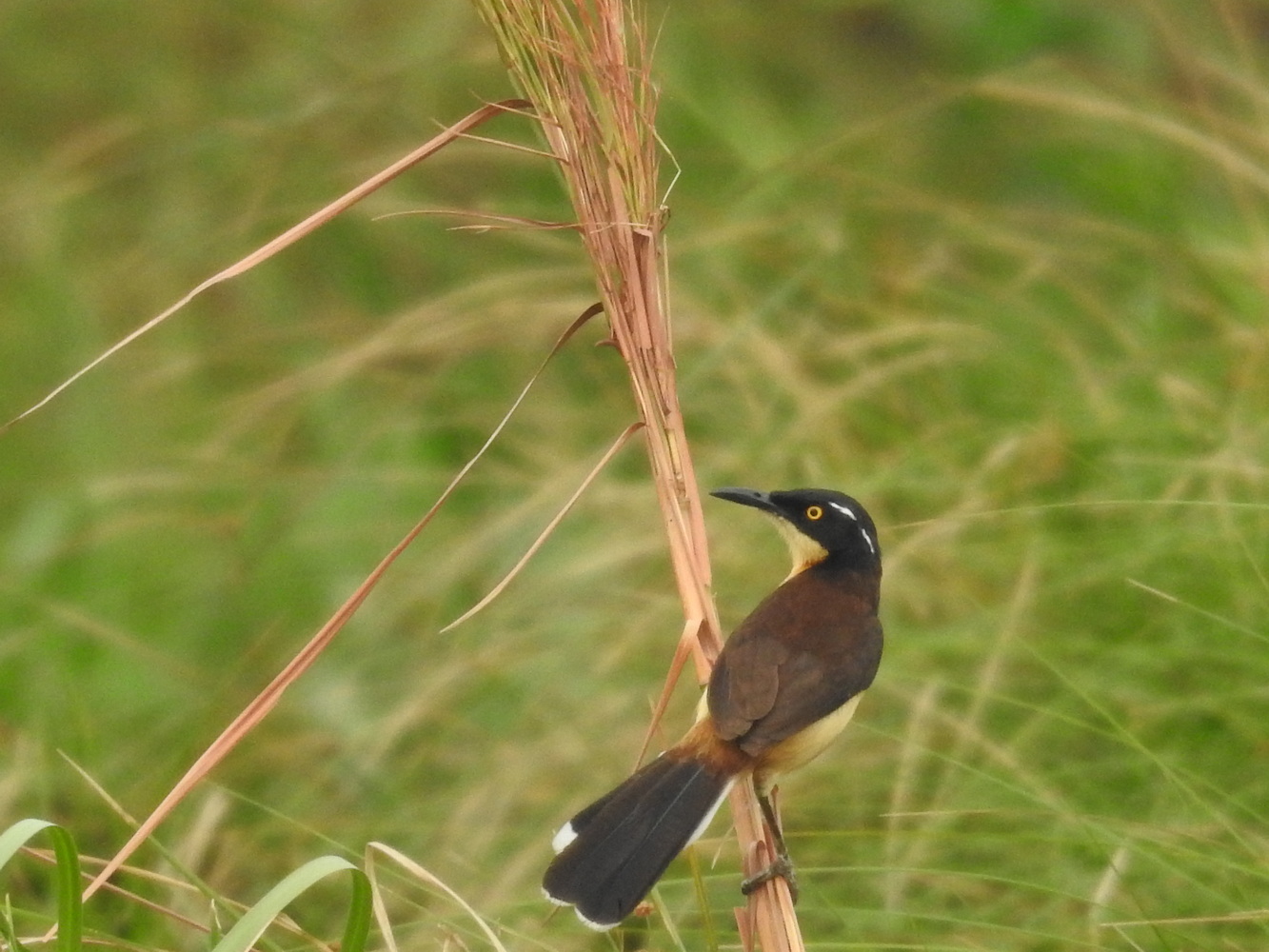
Birding the High Andes
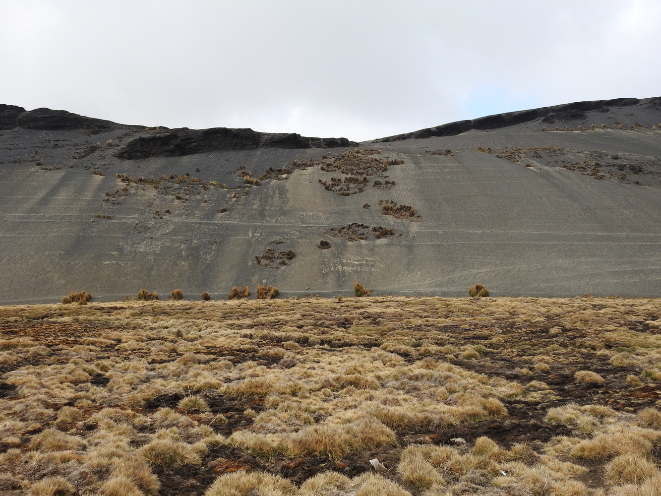
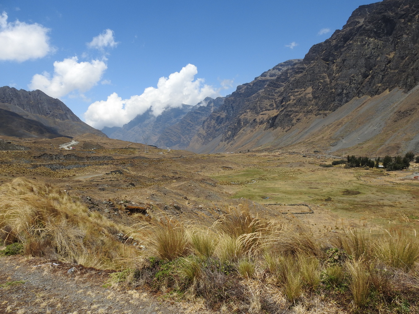
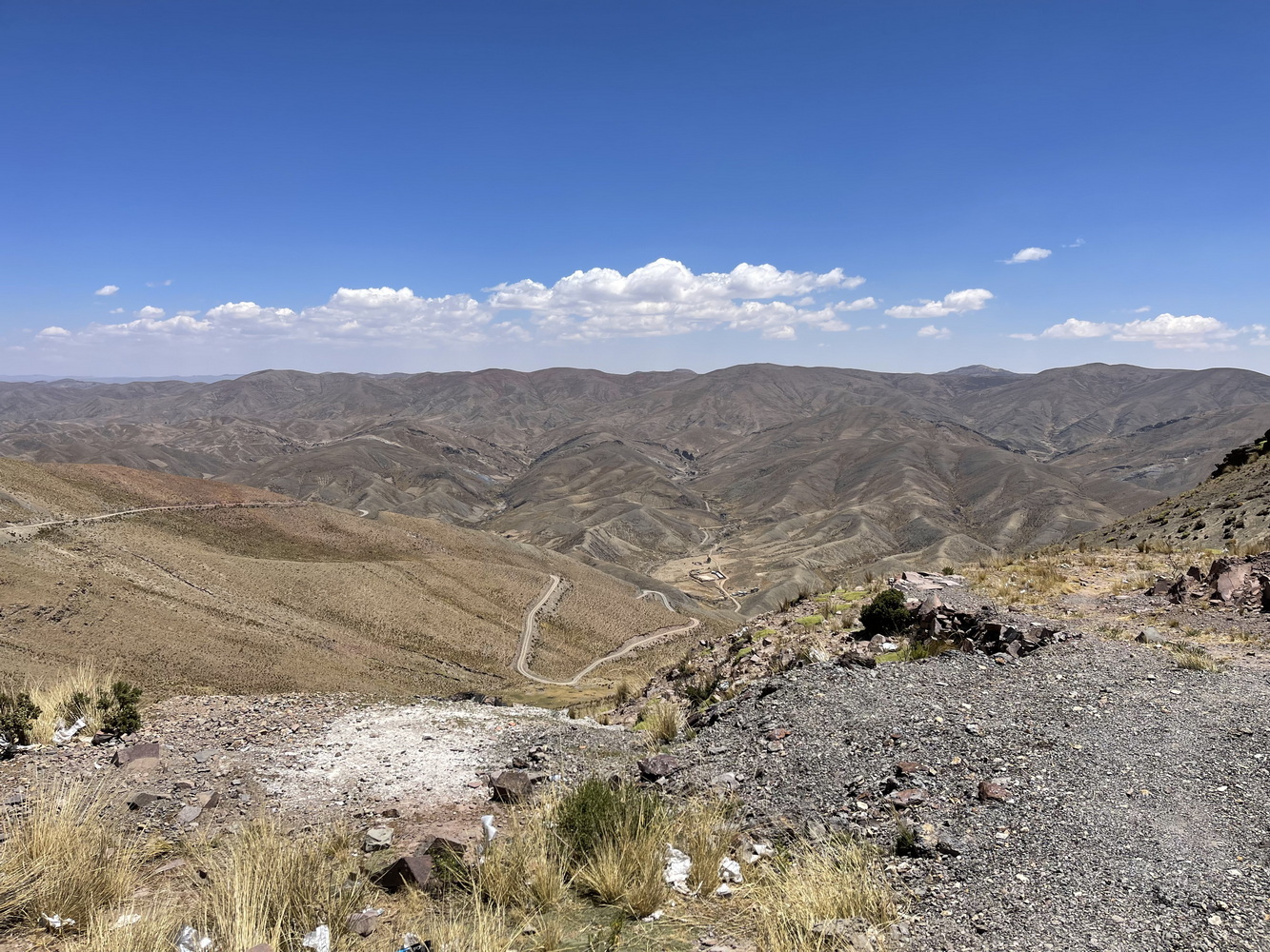
We left La Paz and began the birding part of our trip by traveling north (through El Alto again!) to the high Andes. We were at about 16,000 feet elevation at La Cumbre (the summit) in Cotapata National Park. You walk slowly there!


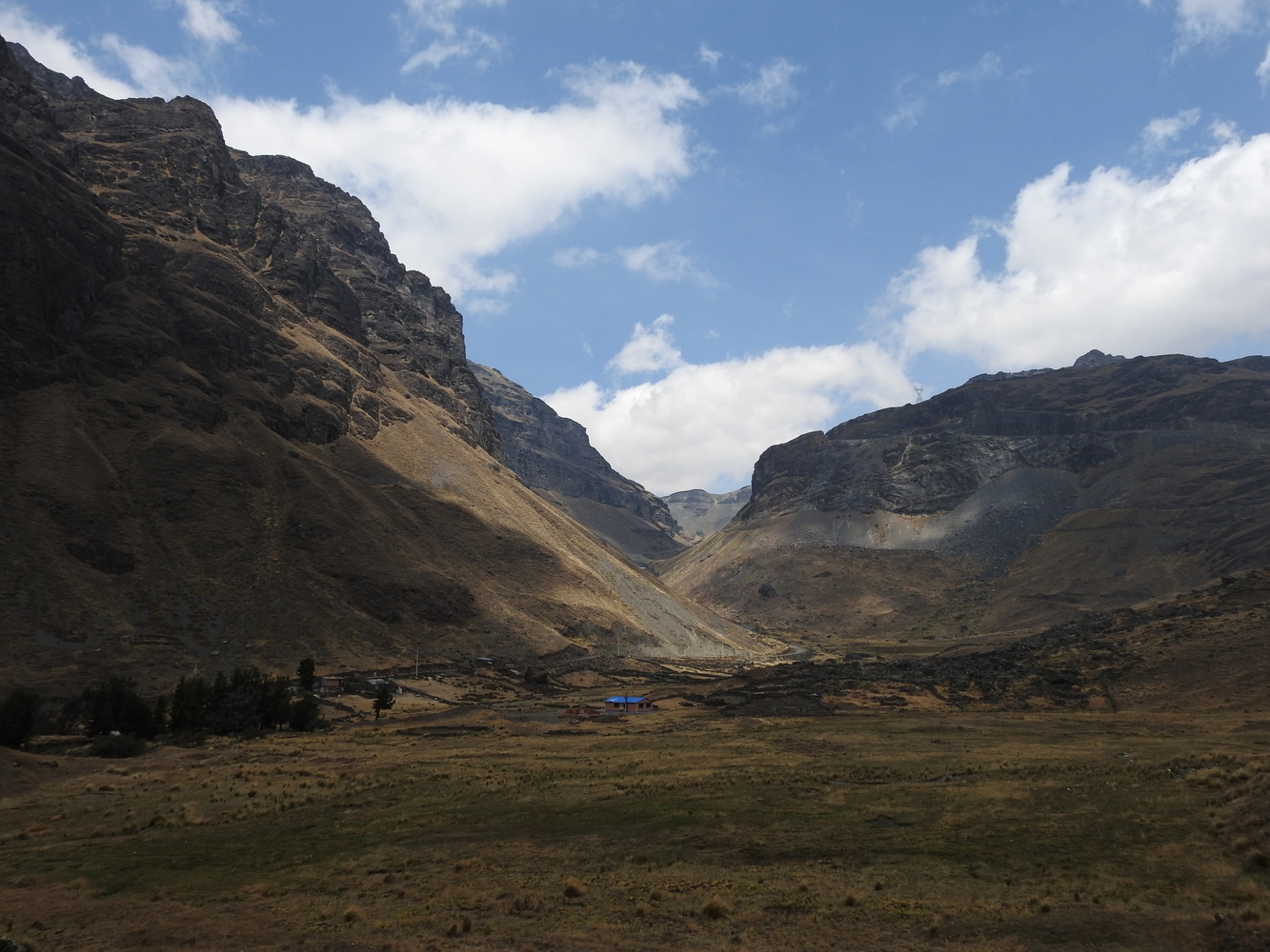

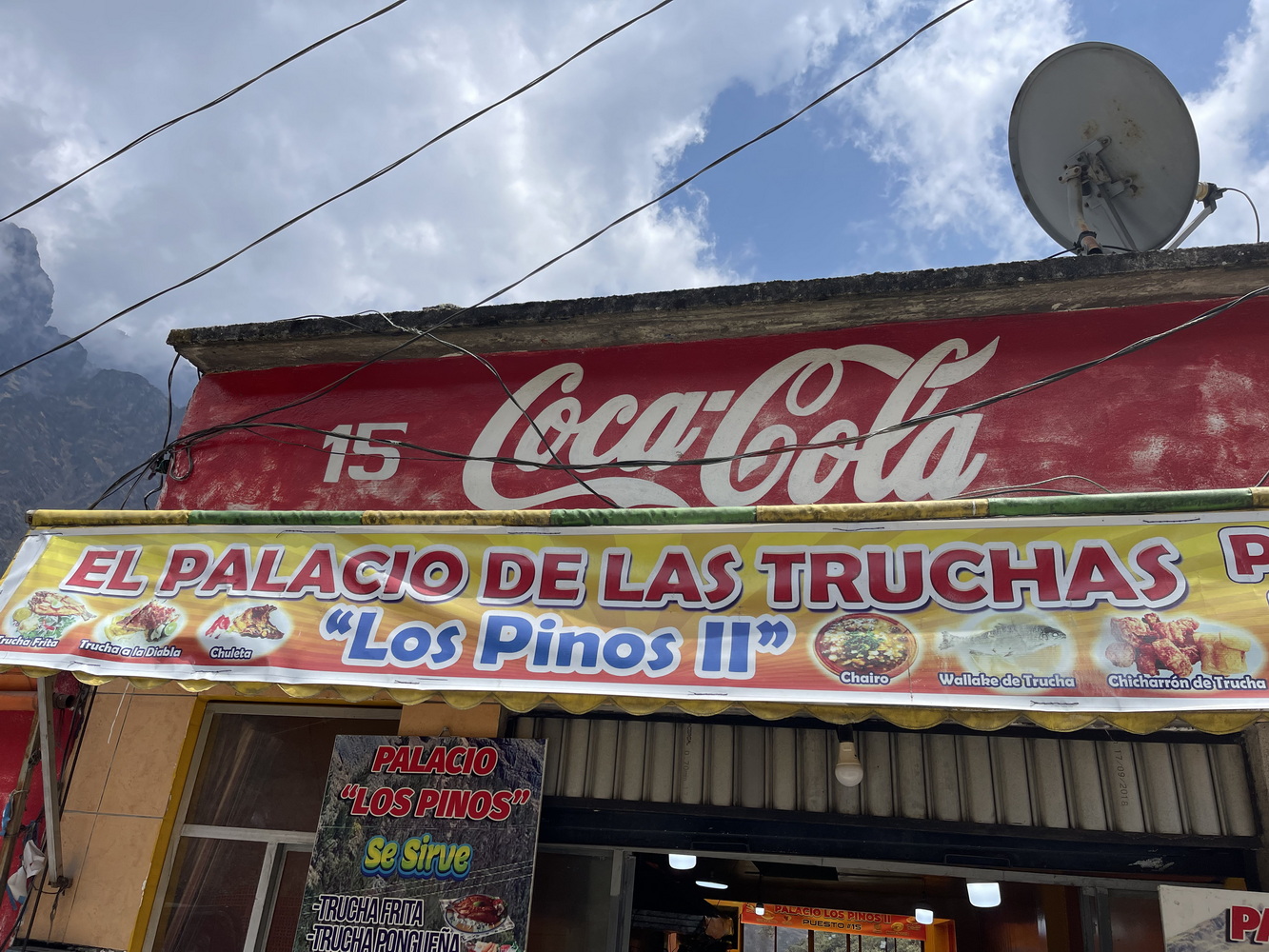
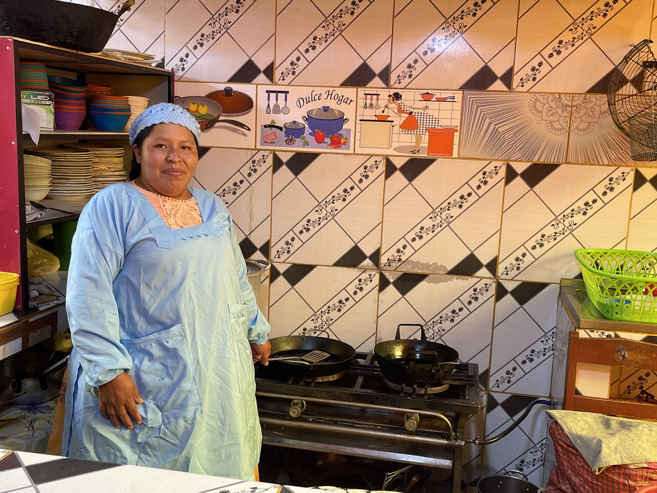
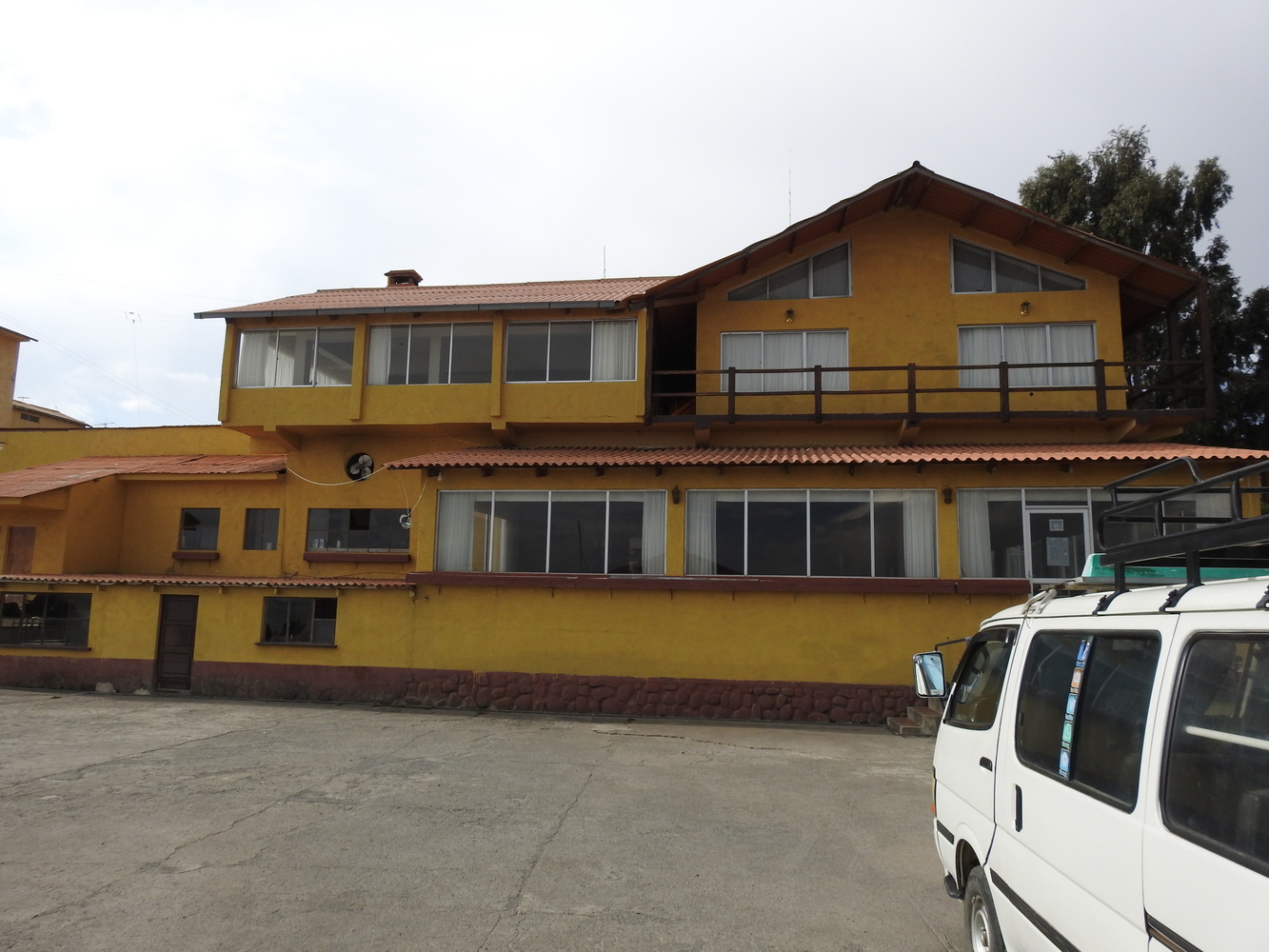
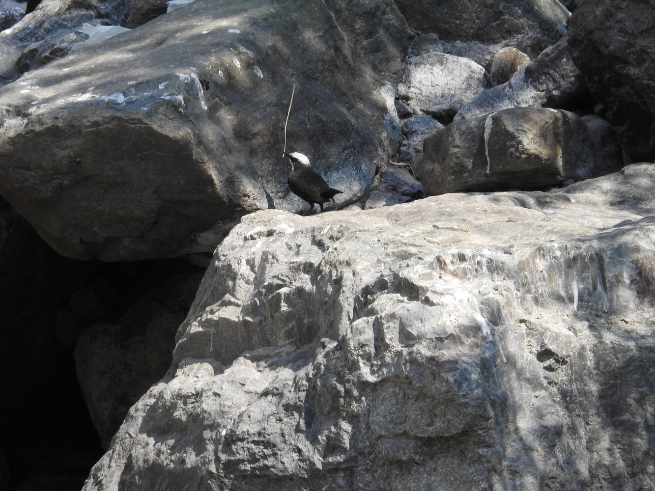
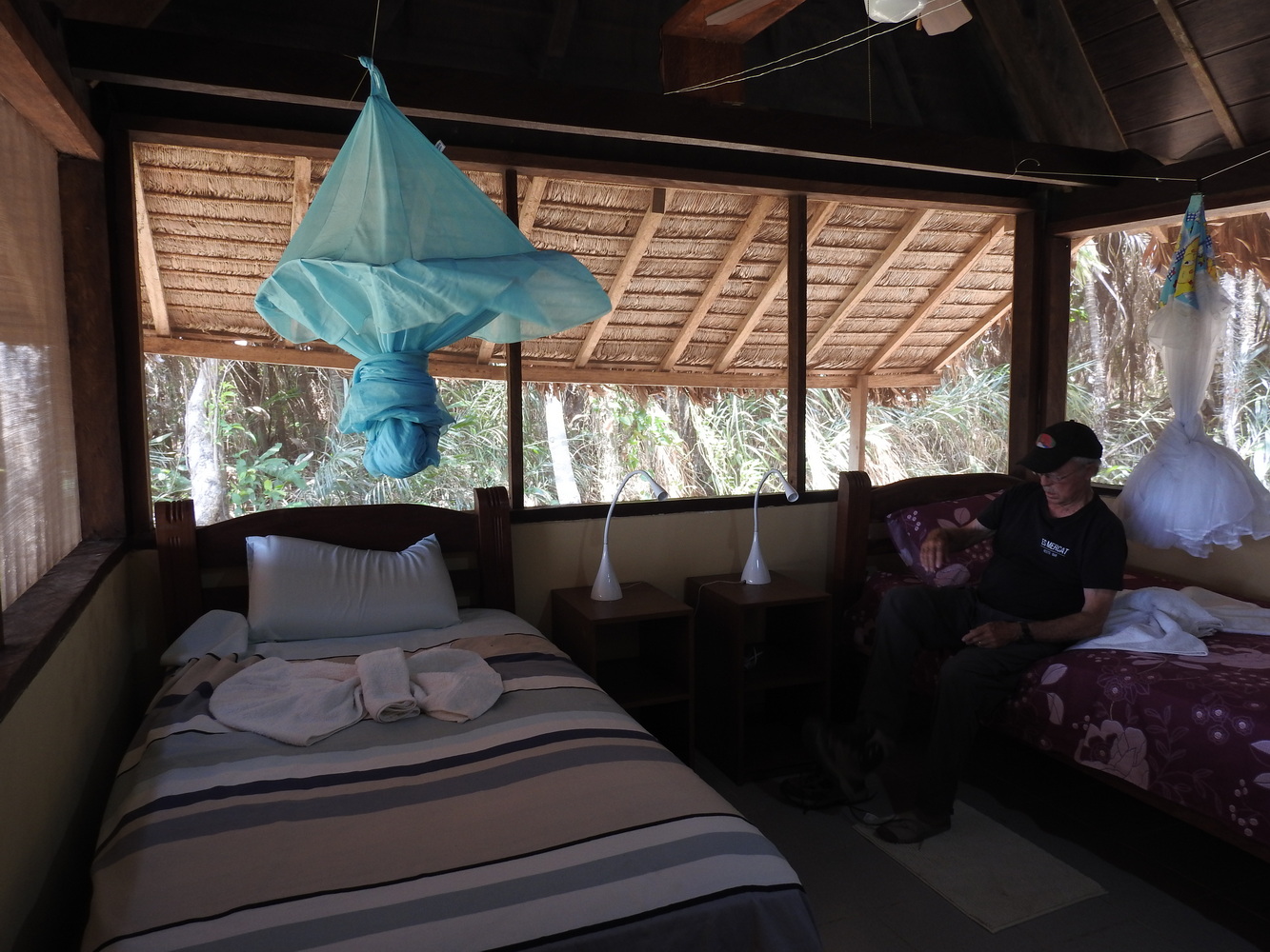
We stopped for lunch at one of many roadside restaurants, El Palacio de las Truchas (The Trout Palace) for deliciously fresh trout cooked by Julisa. More intense driving brought us to Coroico, where we stayed at the Hotel El Viejo Molino (The Old Windmill).
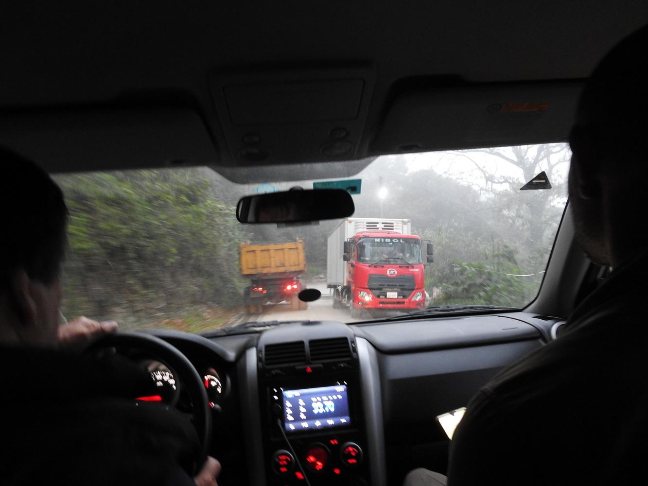


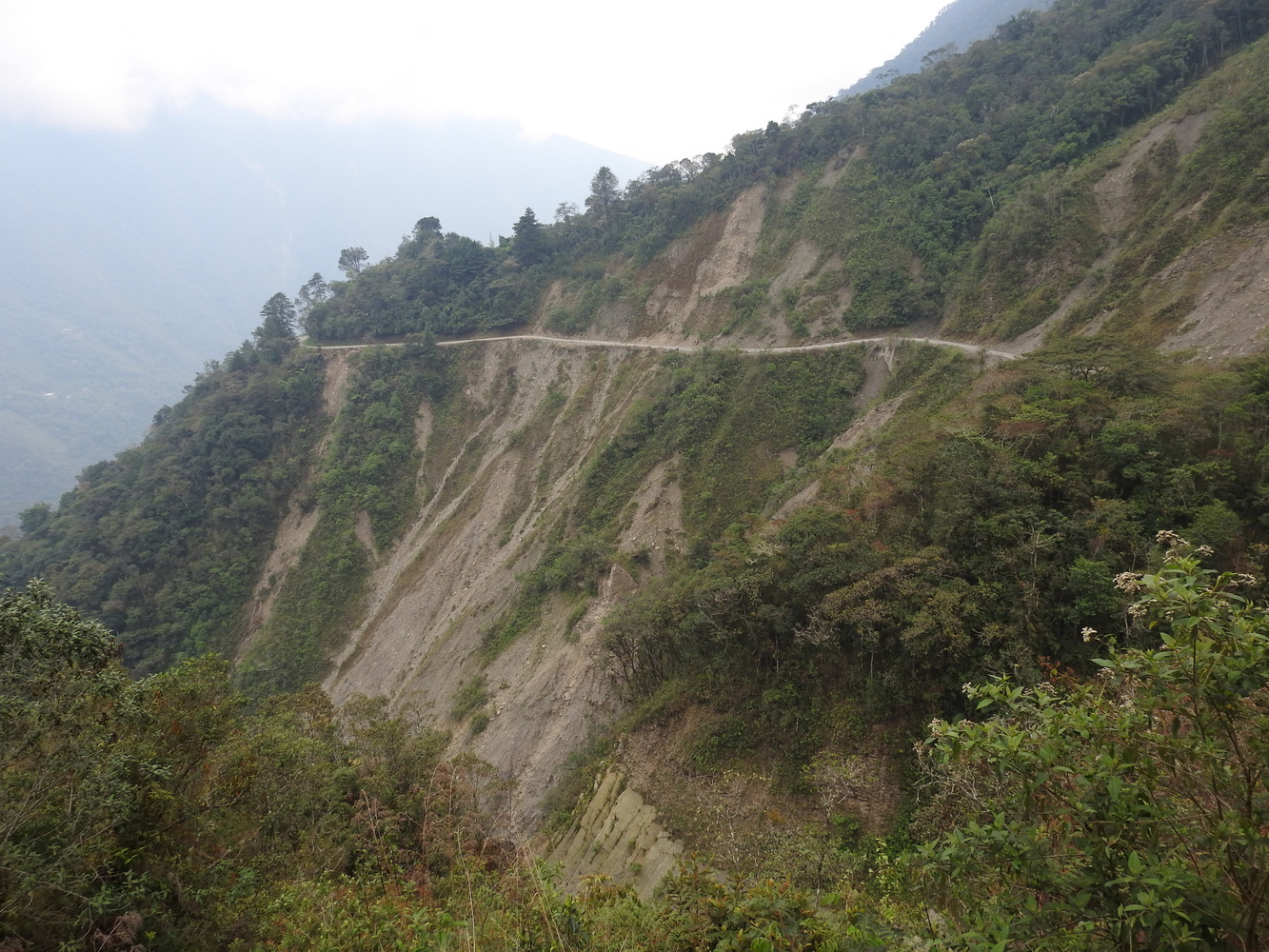
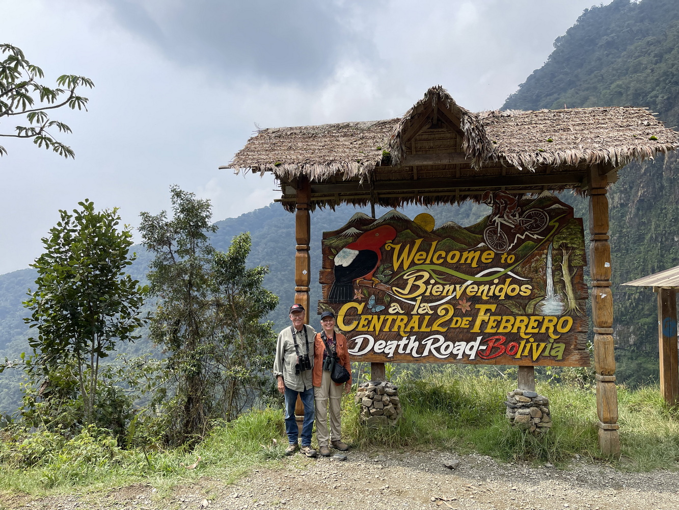
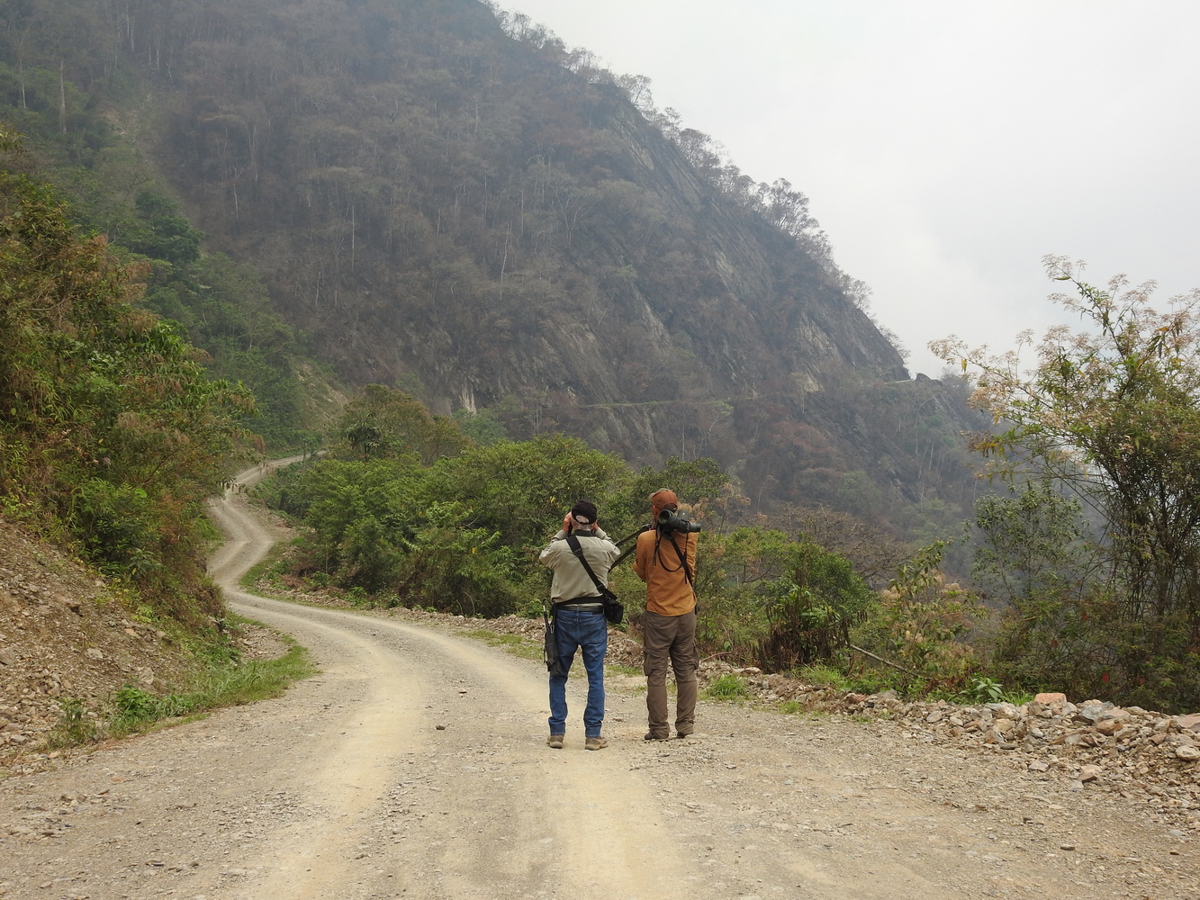
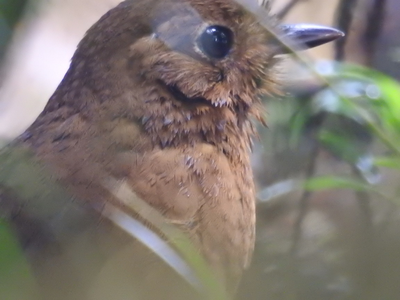
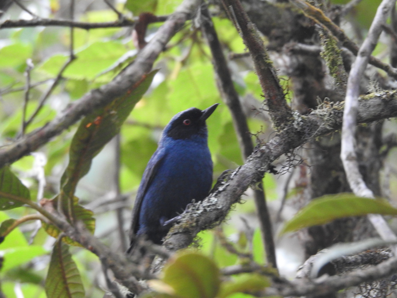
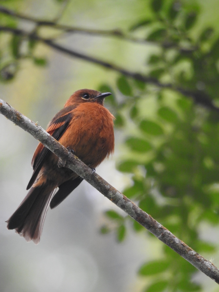
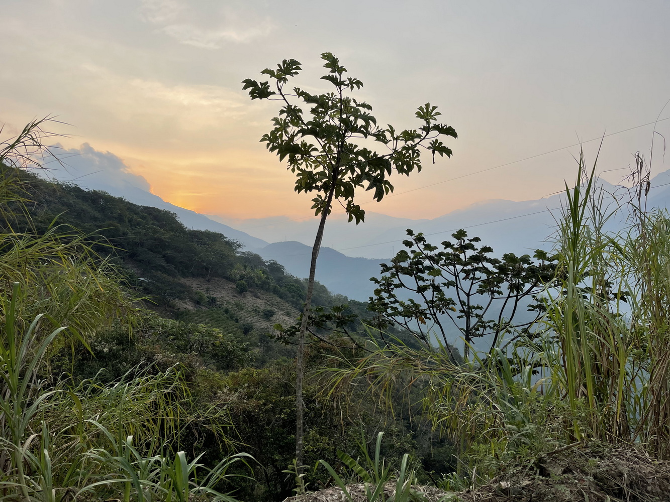
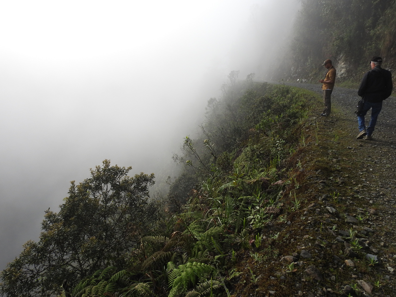
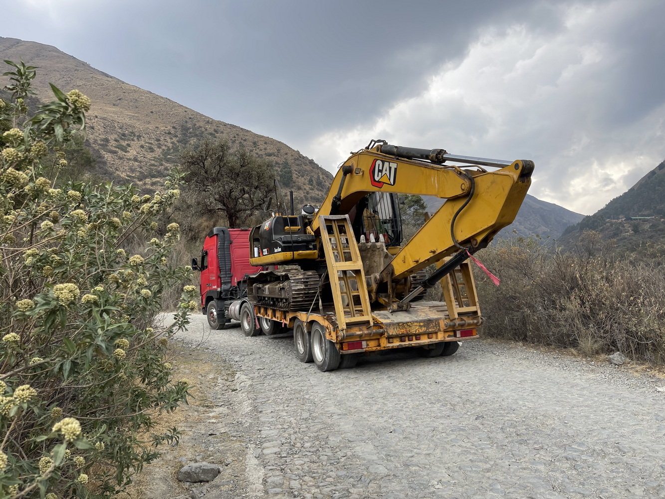
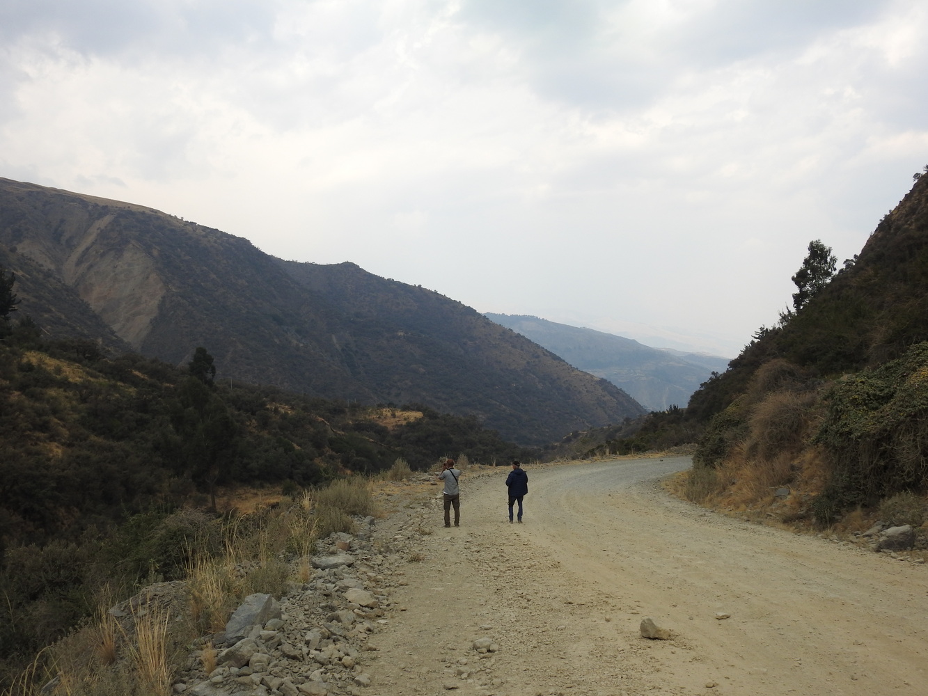
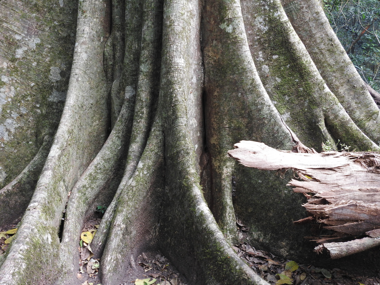
We spent parts of three days on different sections of the Old Coroico Road, also know as “The Death Road” or “the world’s most dangerous road”. It was the main route from La Paz to Coroico until 2006 so all the huge trucks, buses, cars, cyclists and pedestrians had to use it. It loses over 11,400 feet of elevation in under 40 miles! The steep slopes, narrow roadbed and hairpin turns leave no room for error. There is now a bypass highway, so this road is mainly used by mountain bikers — and birders who want to see the forest and rare birds here.


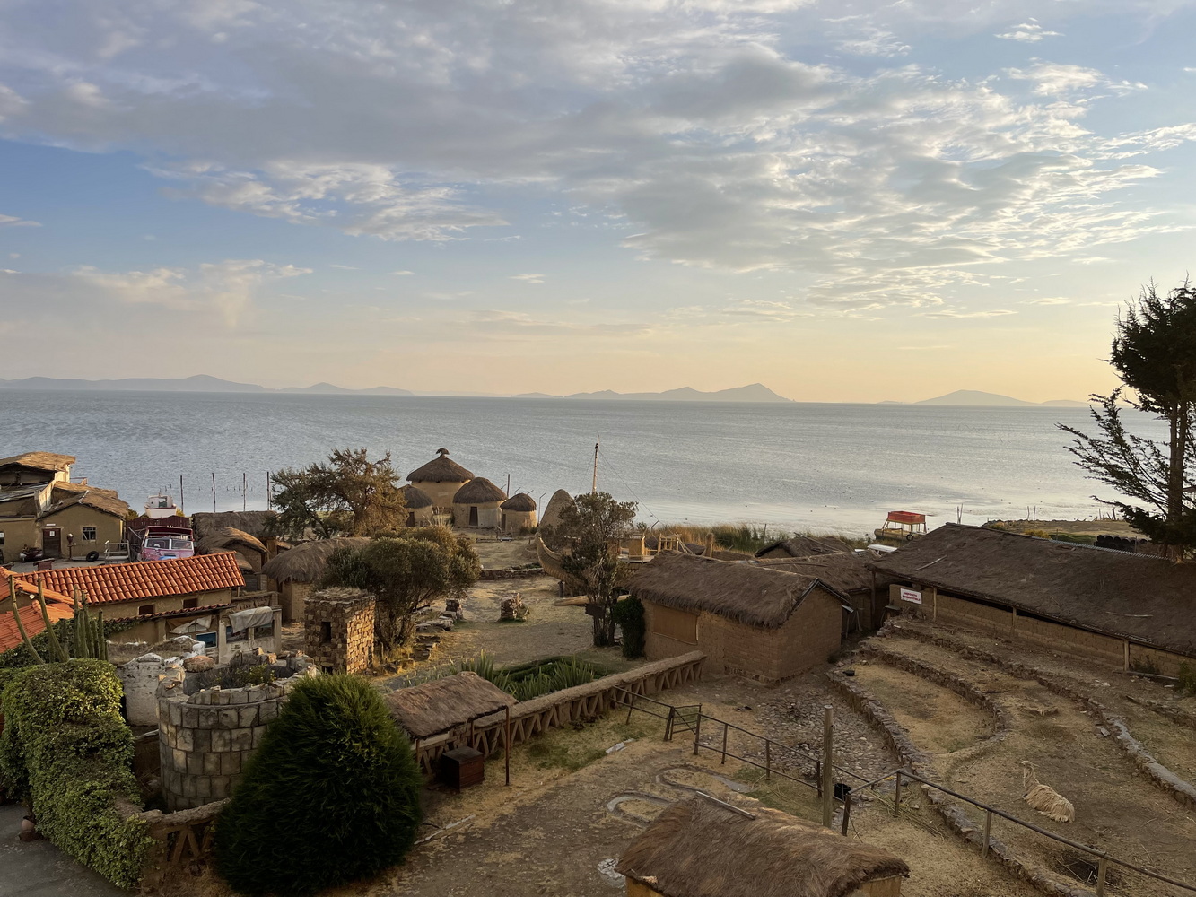
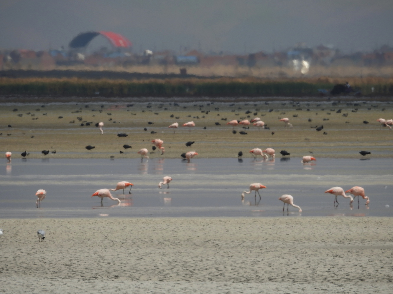
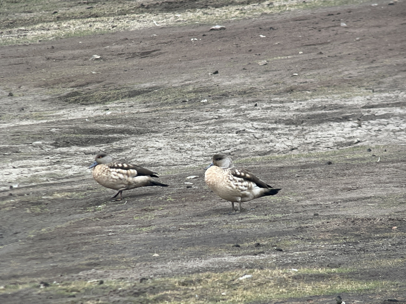
Lake Titicaca
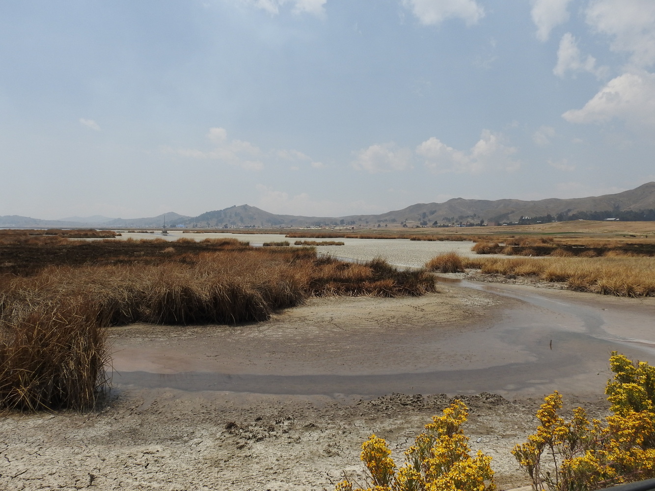
Straddling the border of Bolivia and Peru, Lake Titicaca is considered the highest large lake in the world (12,500 feet elevation and a surface area of around 3,200 square miles). It was considered sacred by the Inca, who believed the universe and people were created here. Today, it is struggling with a severe drought and a major decline in tourism due to political problems between Bolivia and Peru.


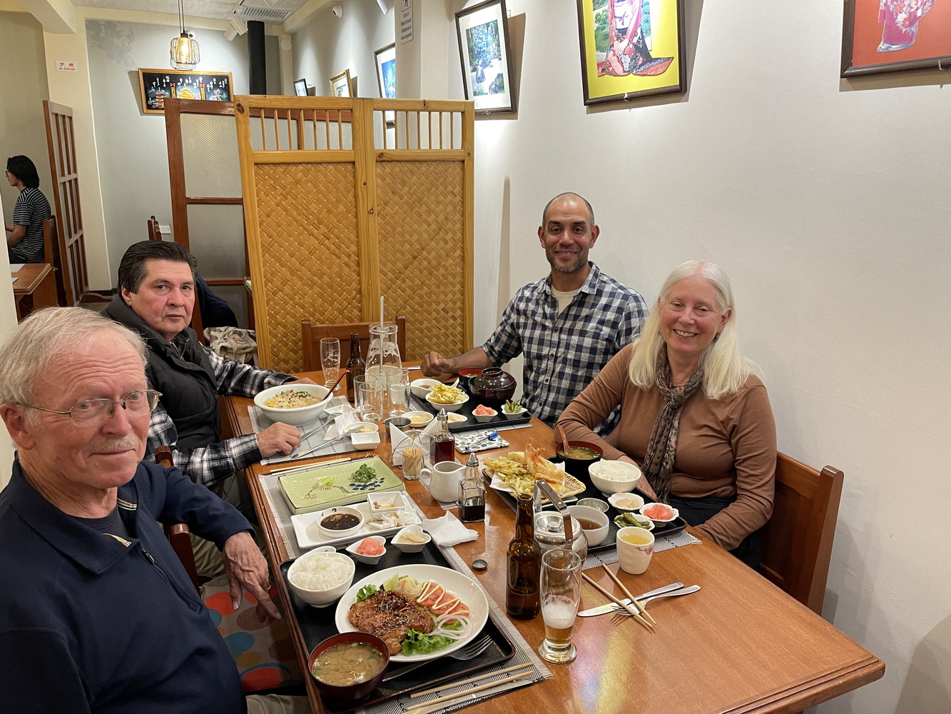
After leaving Lake Titicaca, we traveled back to La Paz. We found political protests in El Alto, a calmer Ritz in La Paz, and a wonderful Japanese meal at Restaurant Japonés Kenchan!


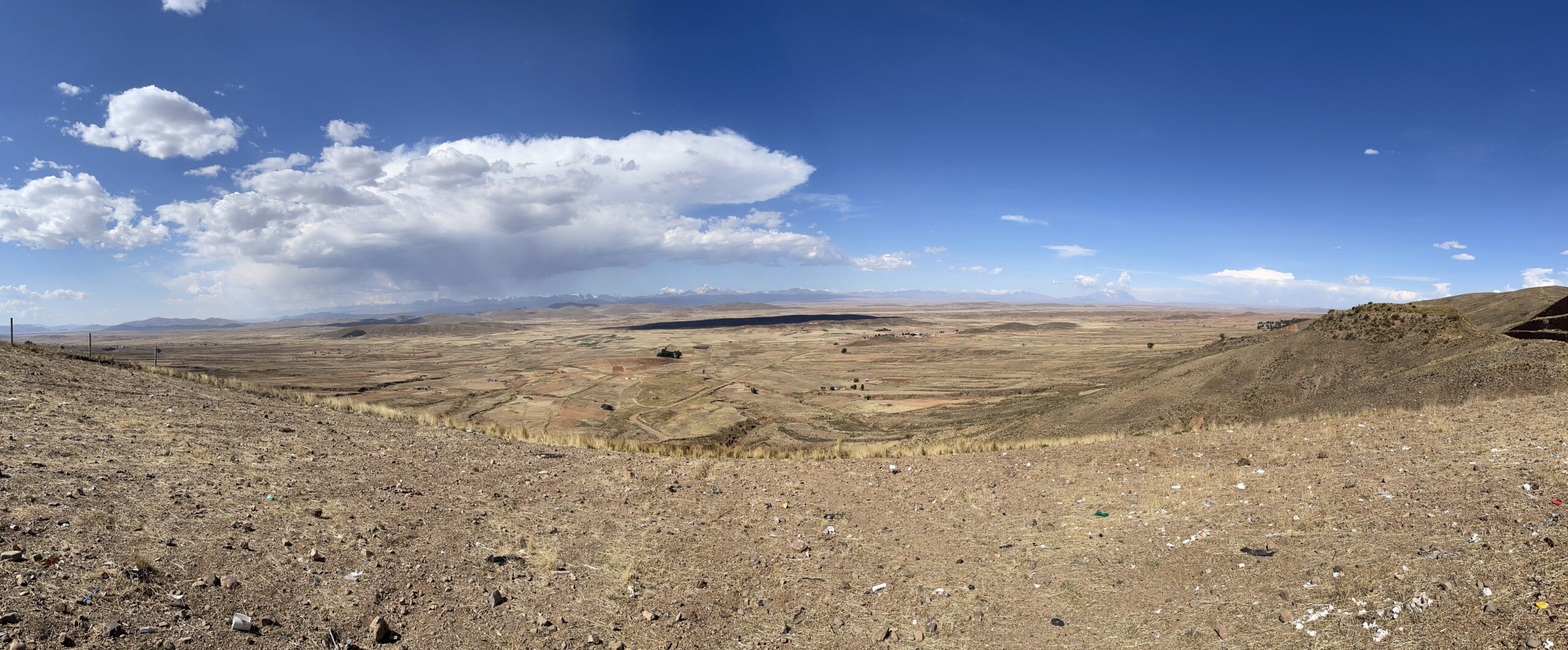
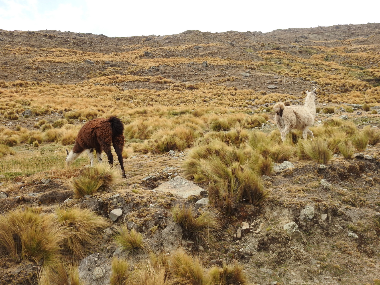
Cochabamba
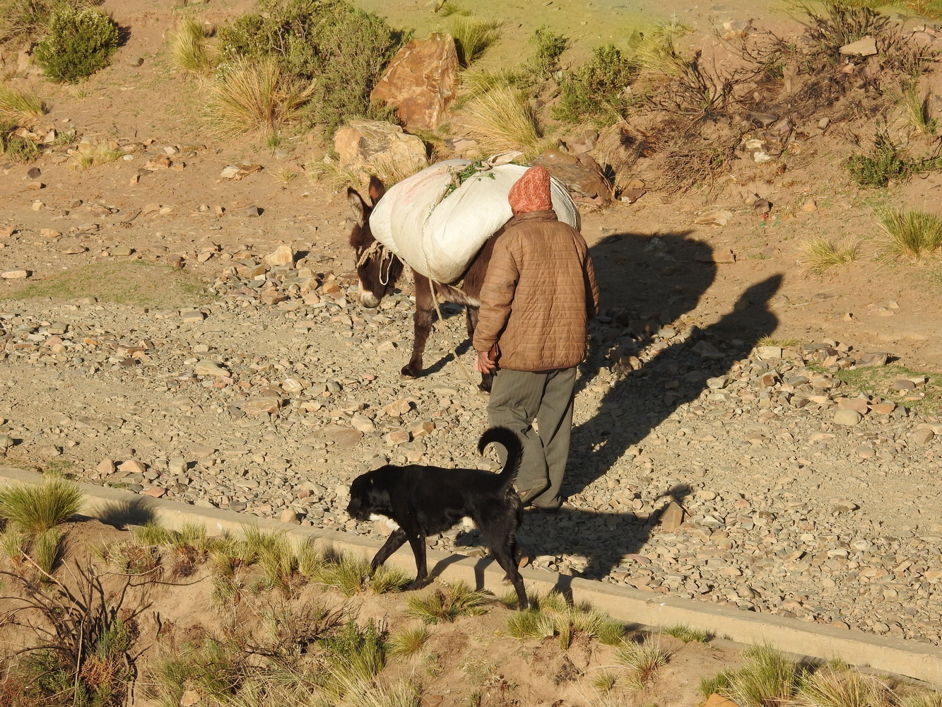
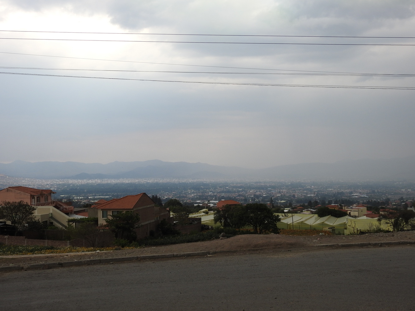
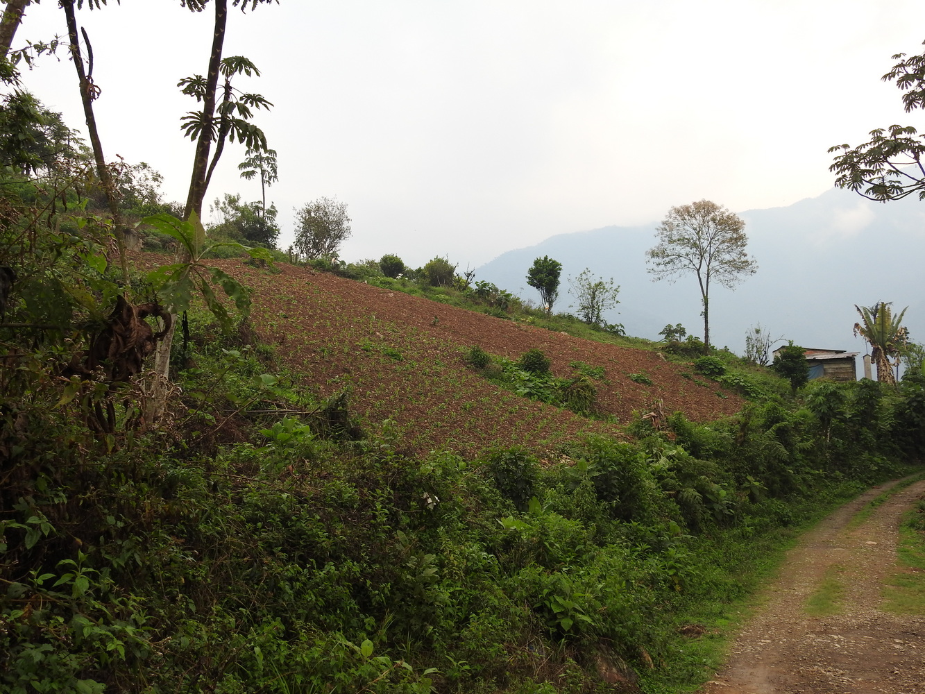
Our next base was in Cochabamba, a region (city and suburbs) of about 1.4 million people. It’s located in a fertile valley that has been settled for thousands of years. Its nickname is the “City of Eternal Spring” because of its mild climate. But … at the time we were there, the average temperature should have been 72 degrees Fahrenheit. Instead, it was 86 degrees Fahrenheit. The drought this year, plus the higher temperatures, put additional strain on the ecosystems and people.
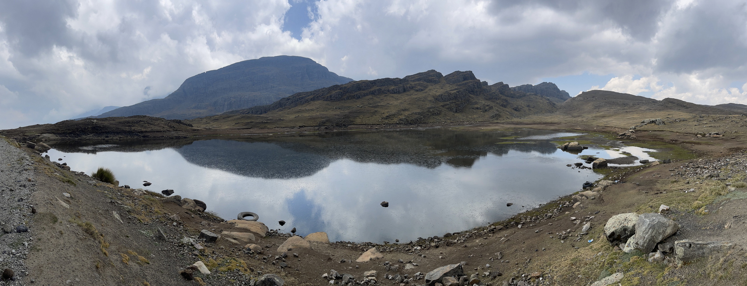
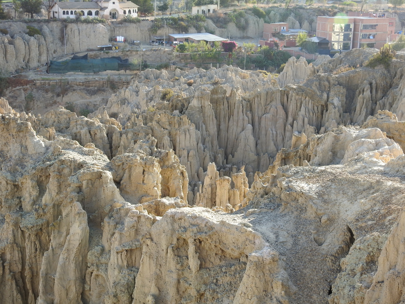
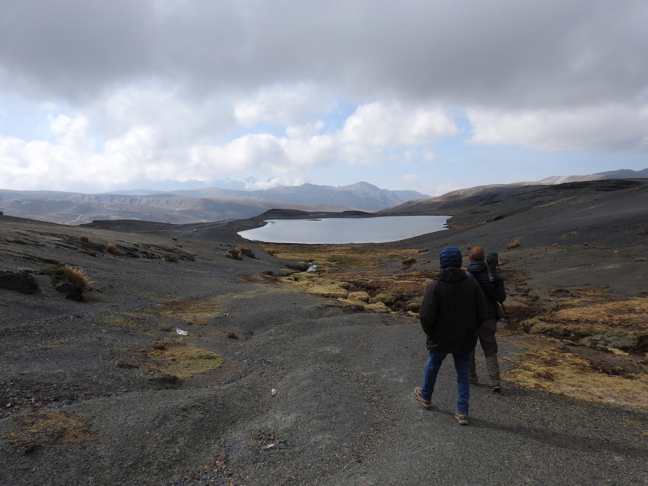
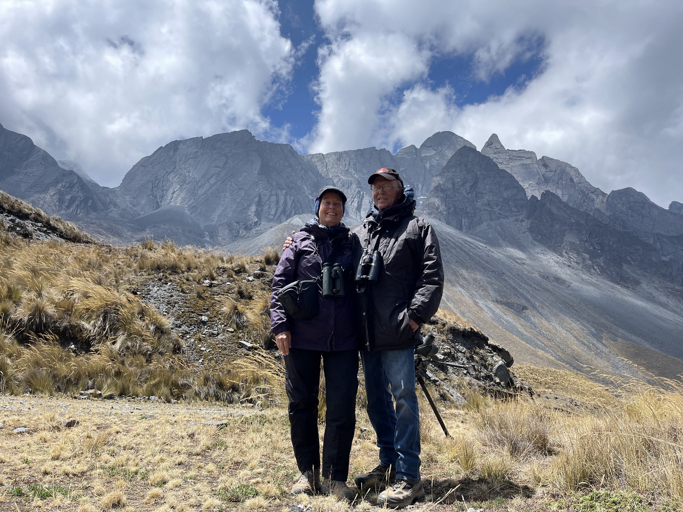
The lake at yet another “La Cumbre”, this time at 14,636 feet. The last glaciation was recent (about 20,000 years) so the rocks and mountains are still sharp-edged.
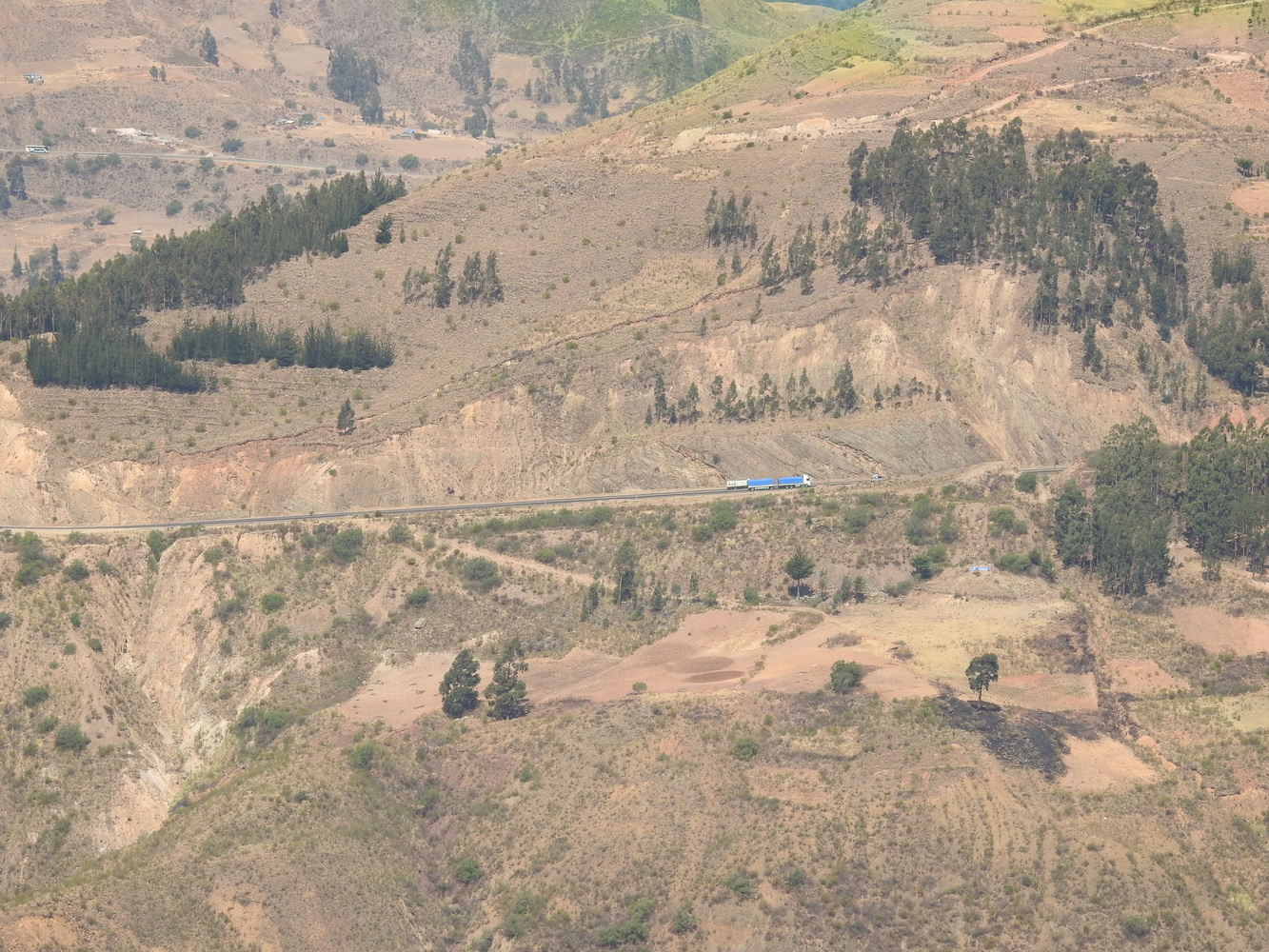
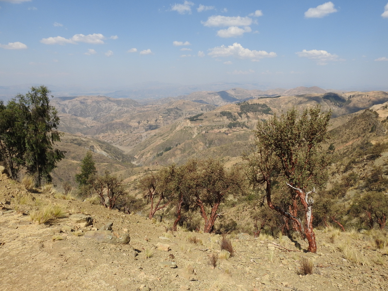
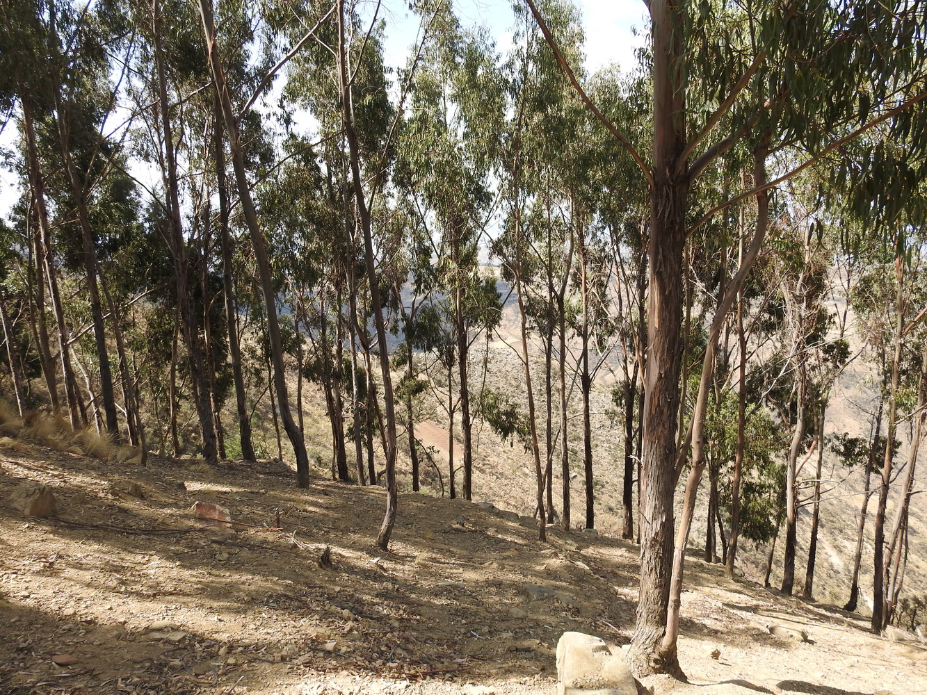
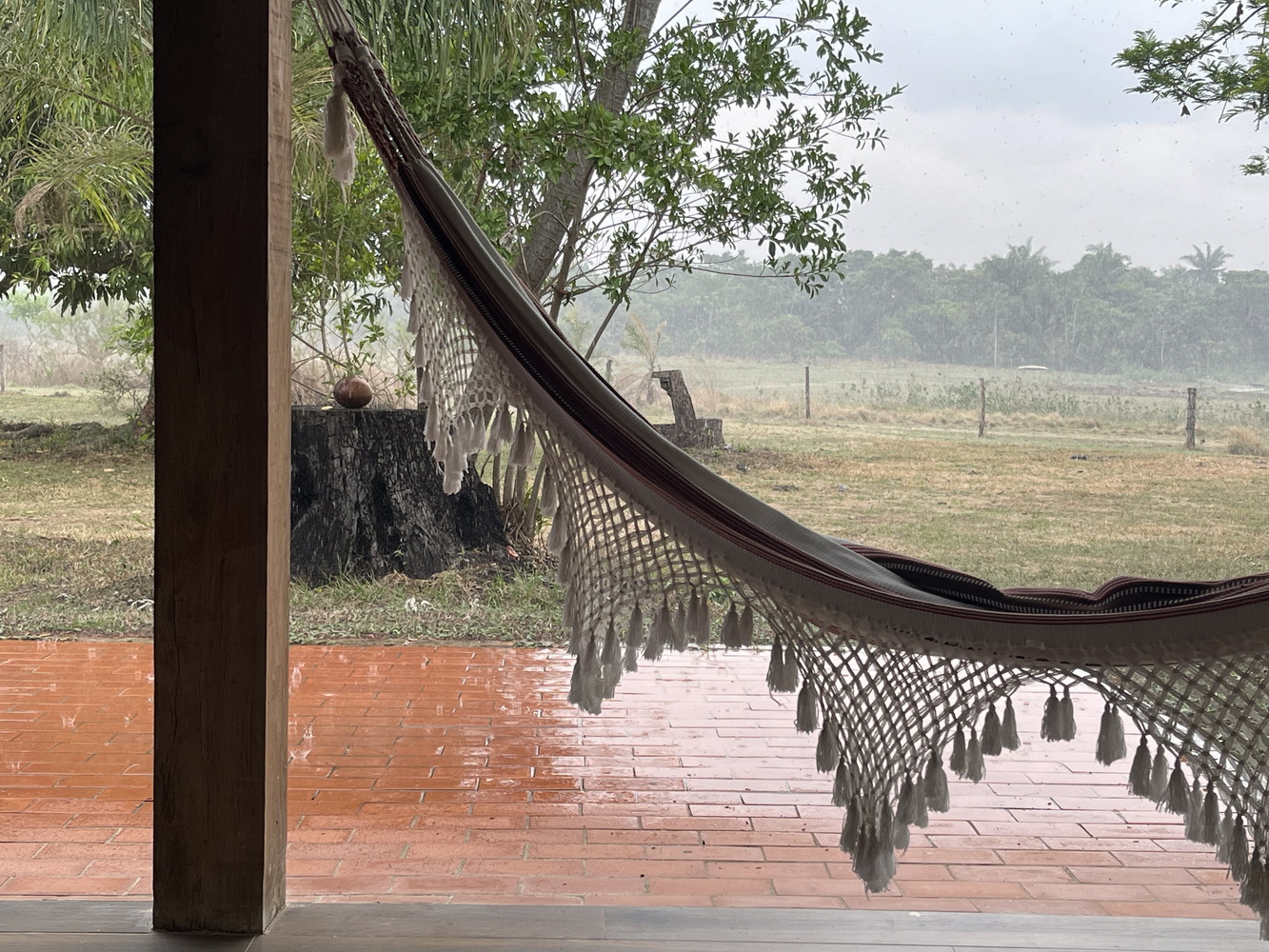
Here are shots from other areas in the mountains around Cochabamba, ending with our hotel, the Toloma.


On To Tambo and Refugio Frenteroja!
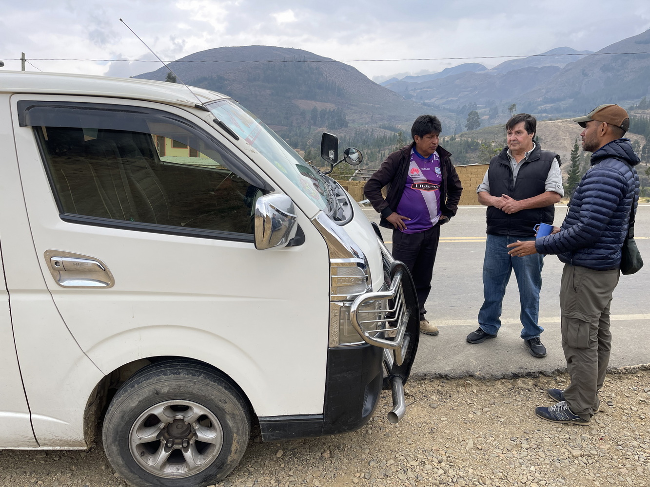
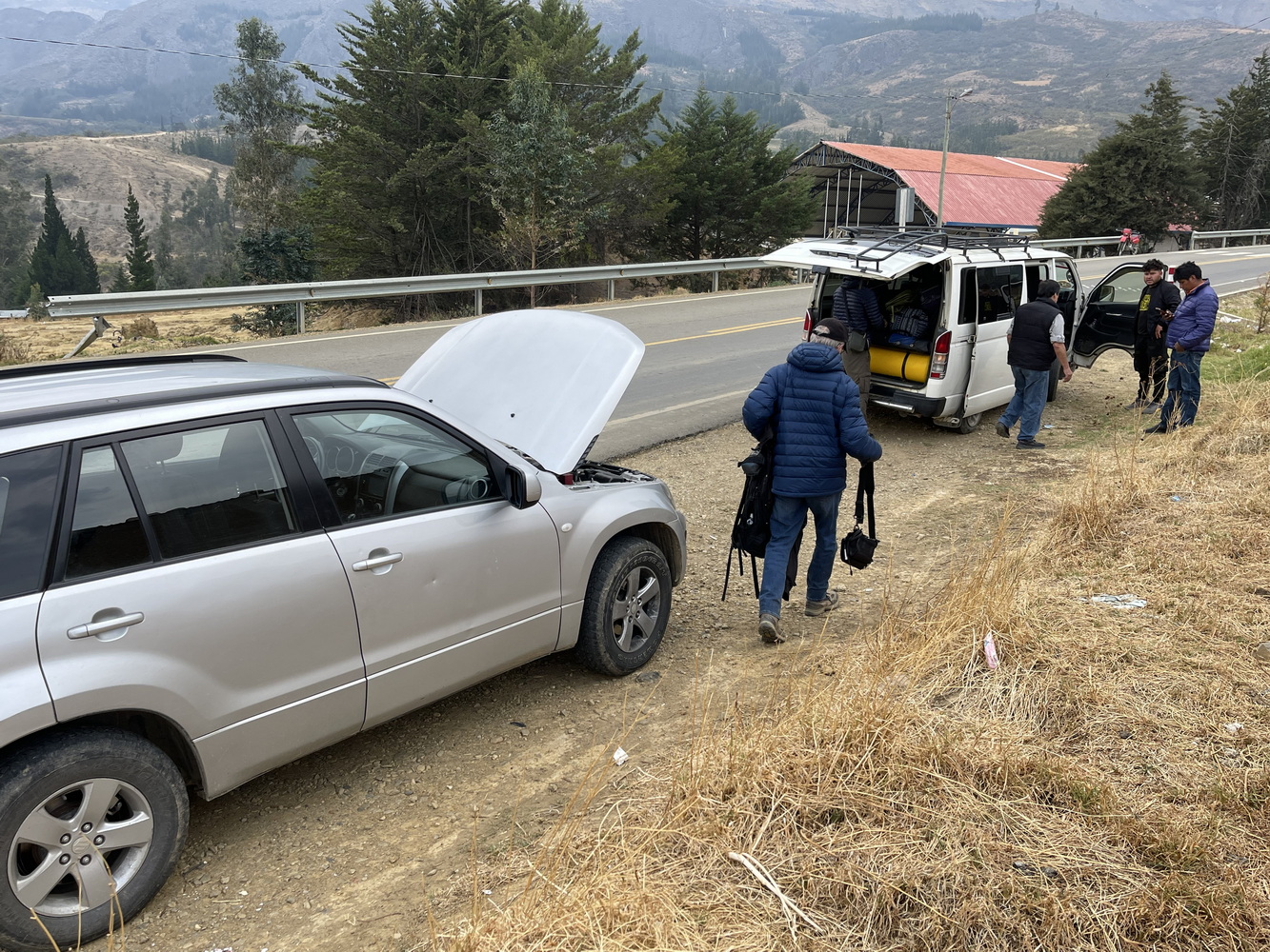
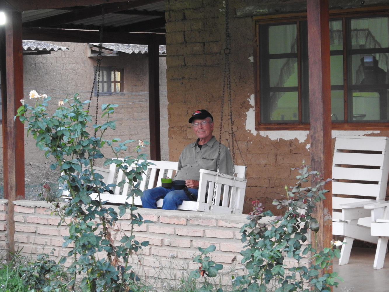
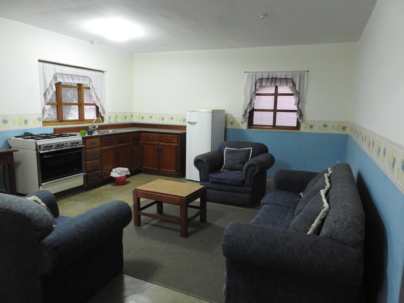
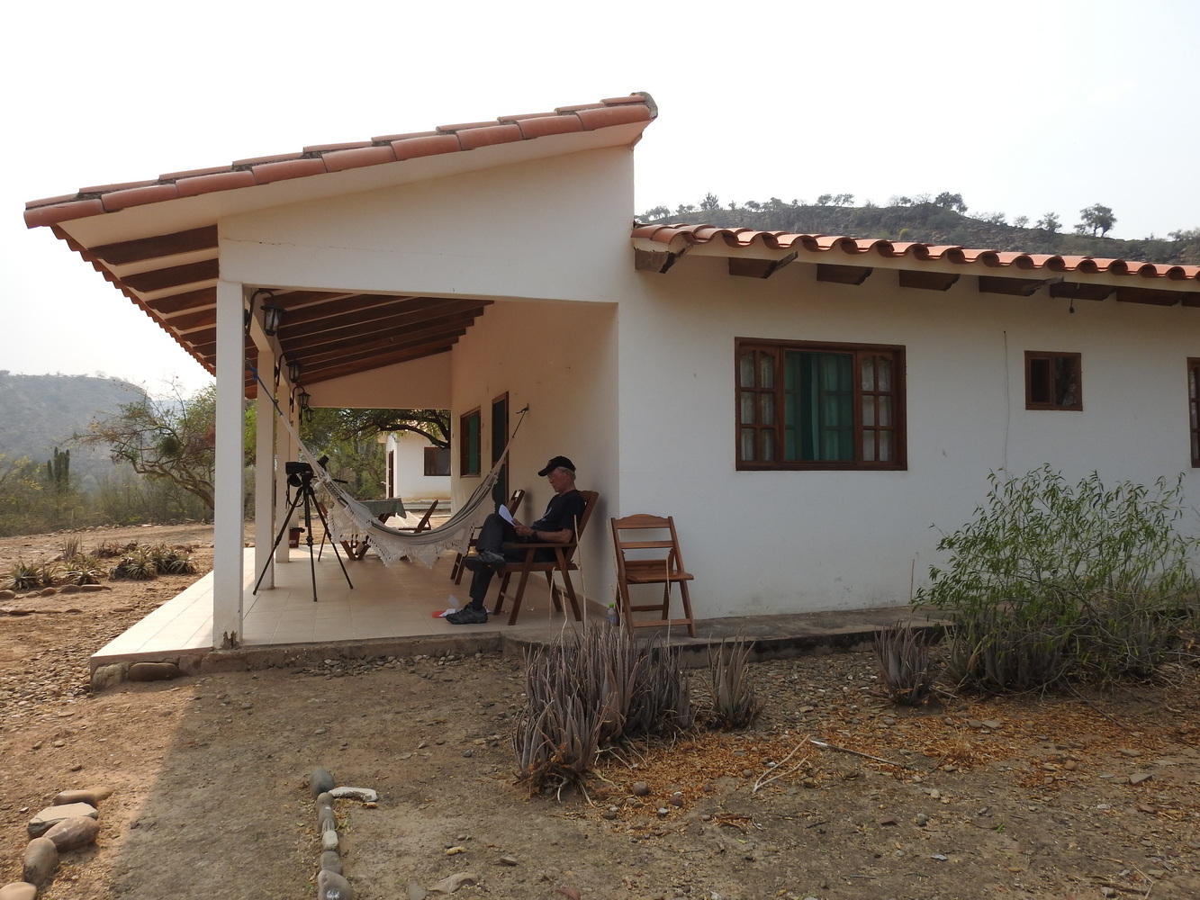
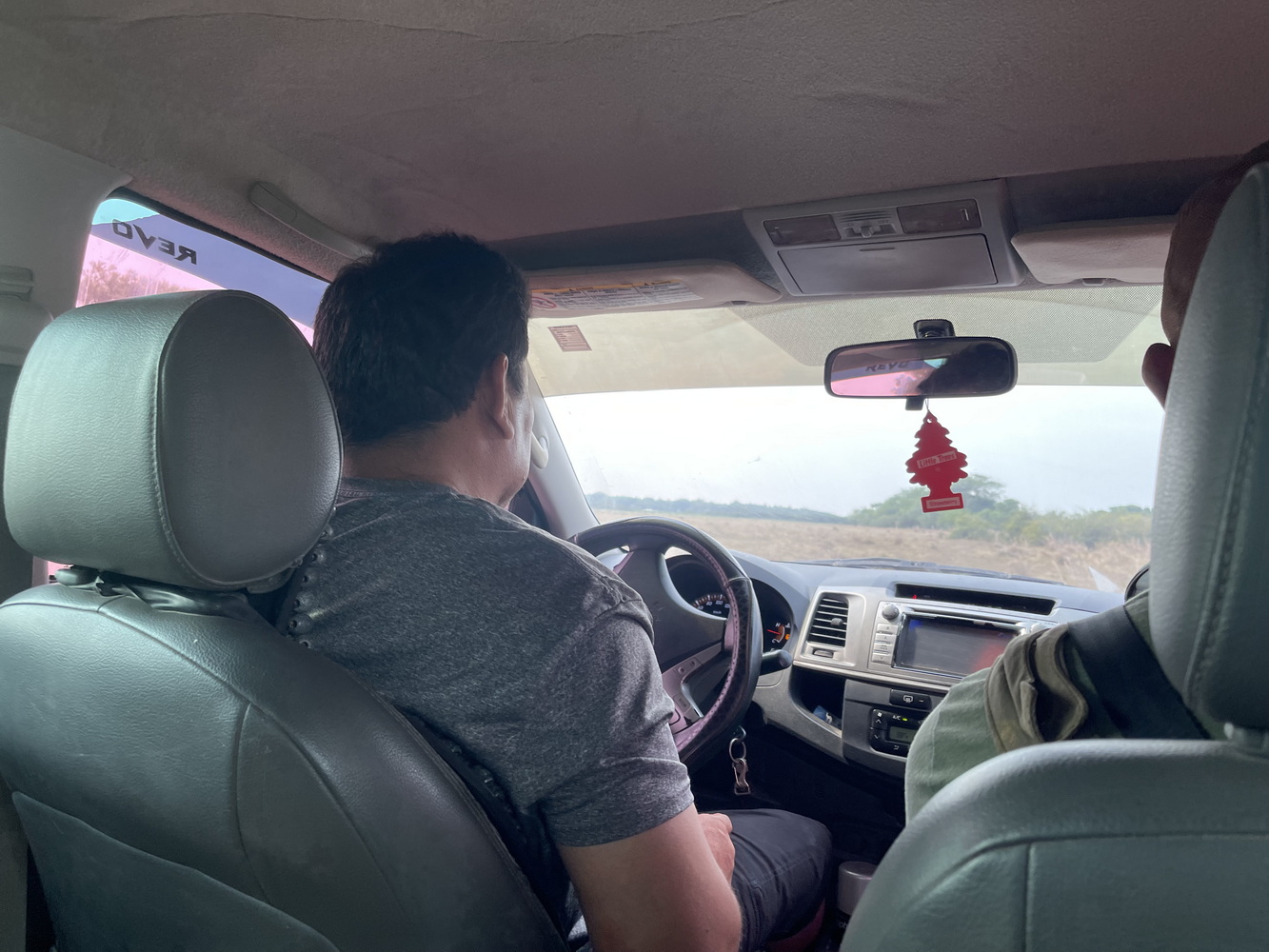
After leaving Cochabamba, we had car trouble in a little mountain town. Amazingly enough, within about 1/2 hour we had a substitute vehicle and a plan to get parts and a repair person to the original car! By mid-afternoon, we were back in business. We spent one night at Centro de Desarrollo Humano Monteblanco in Tambo. It seems like a church camp or school, though with a non-denominational approach (‘desarrollo humano’ means roughly ‘human development’). The main part of the camp was taken up by high schoolers. We had a whole house to ourselves!
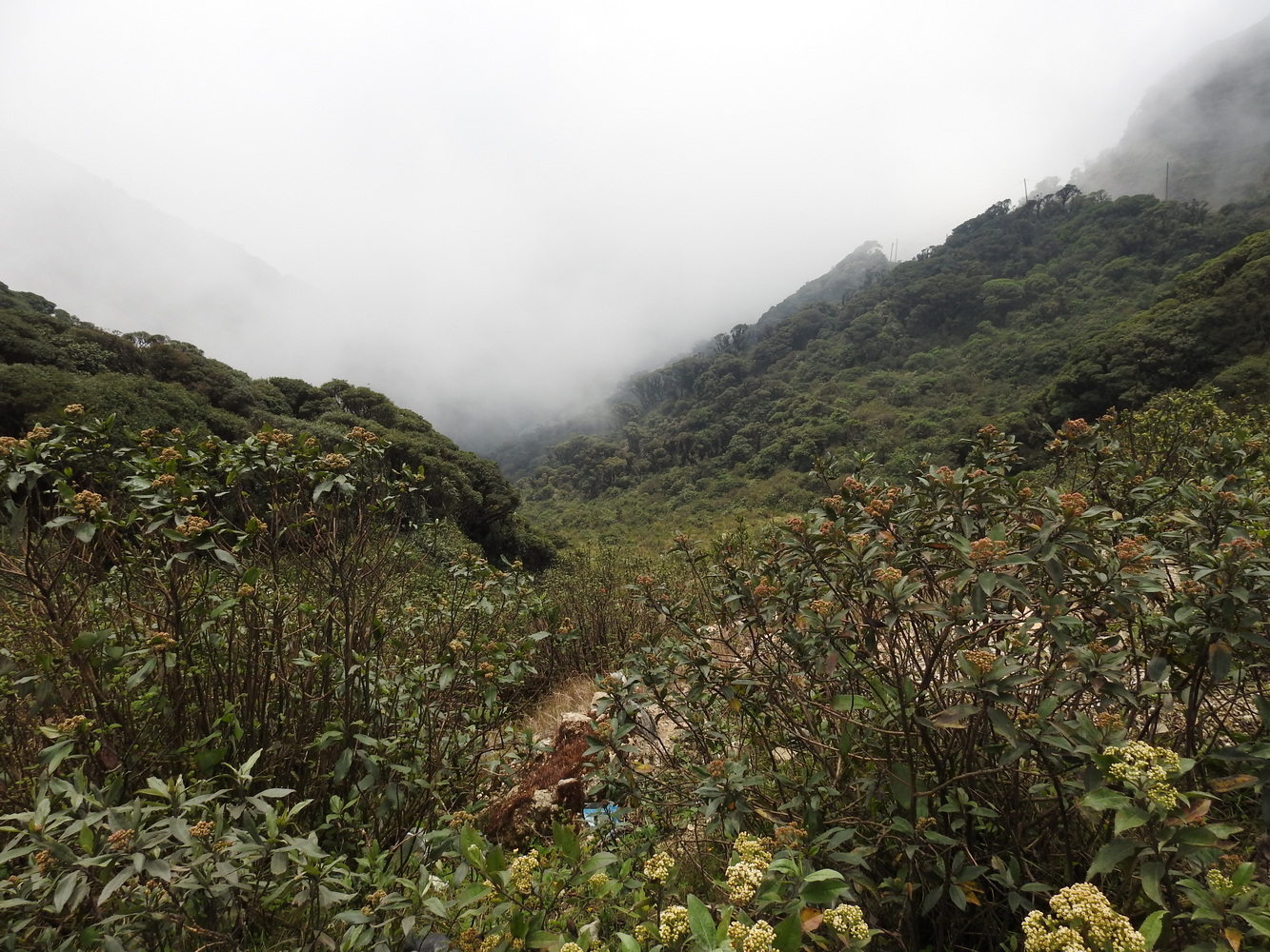
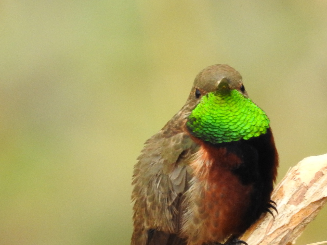
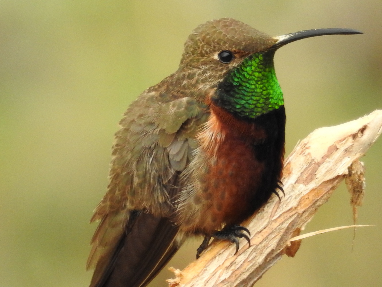


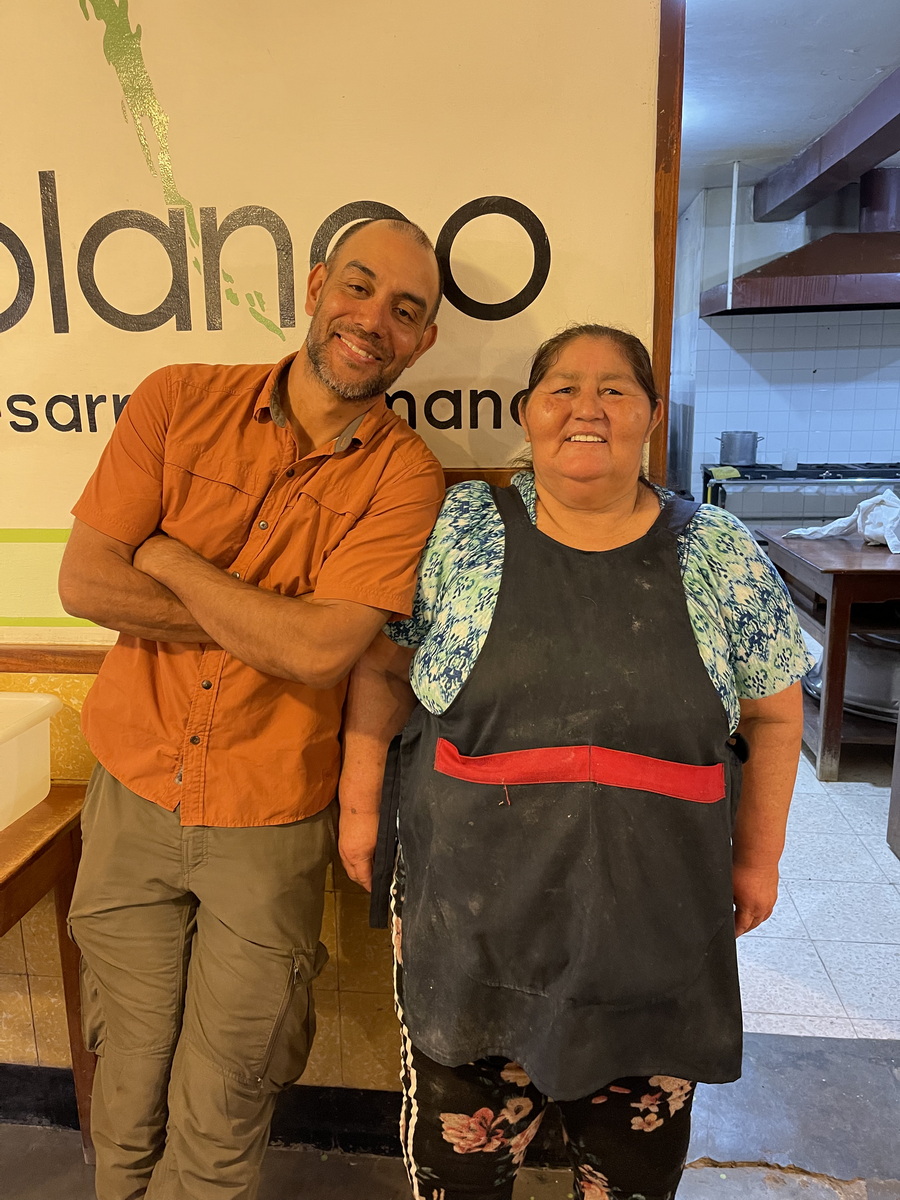
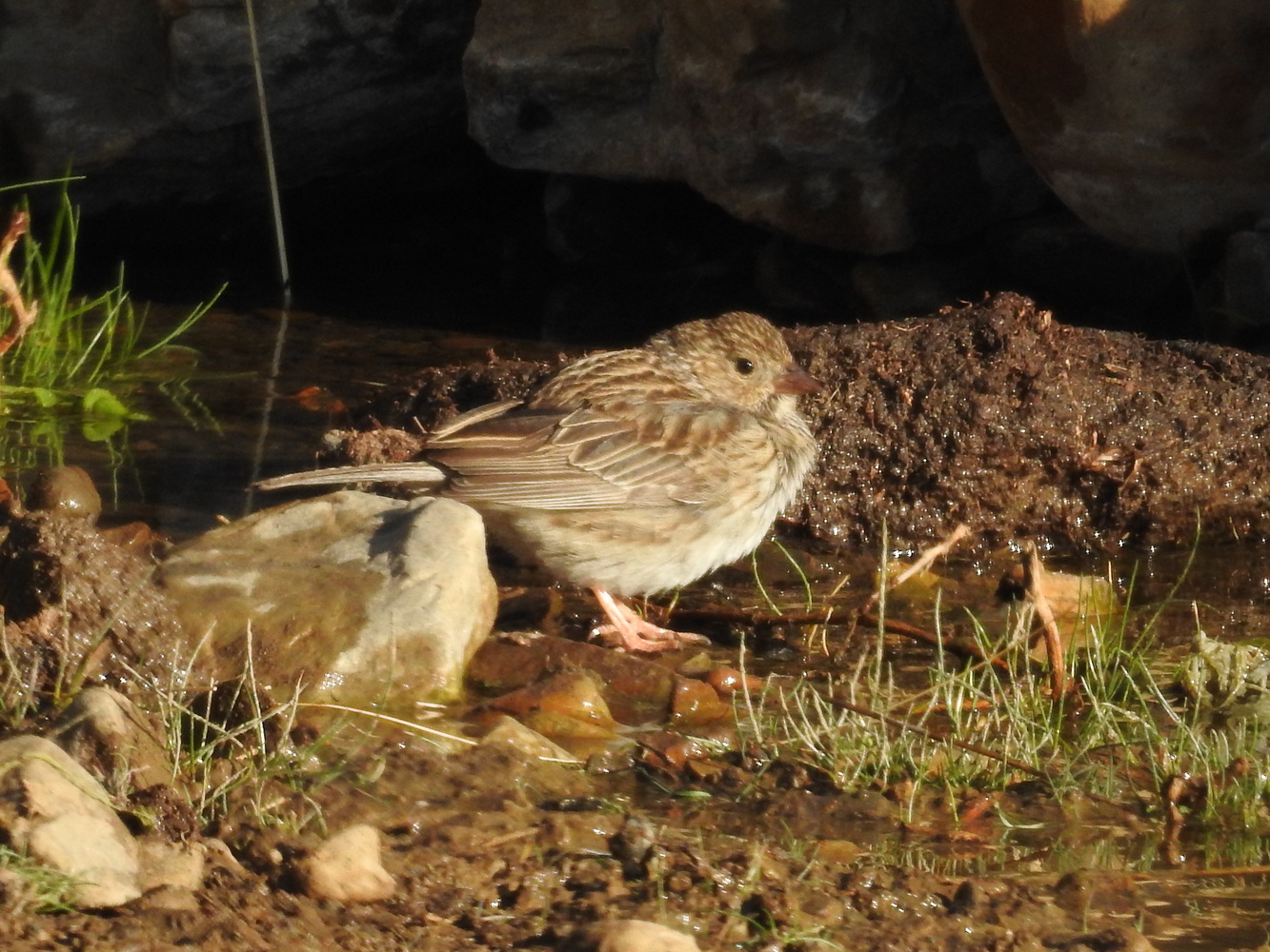
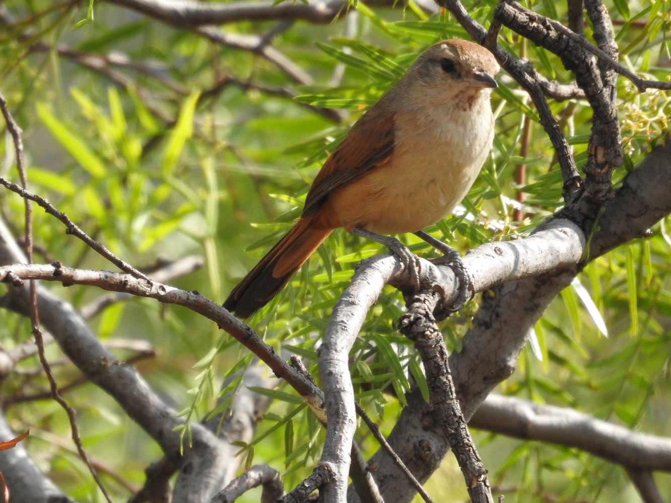
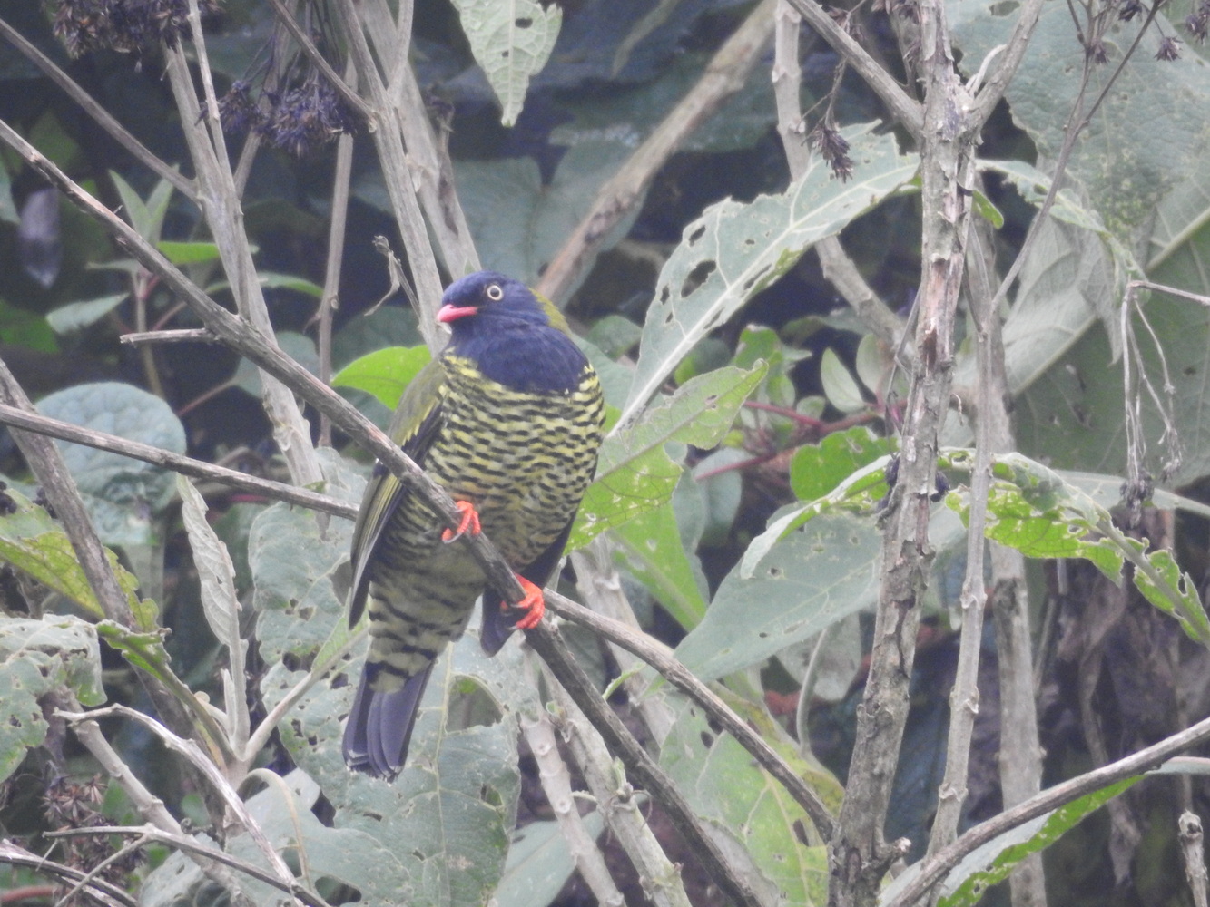
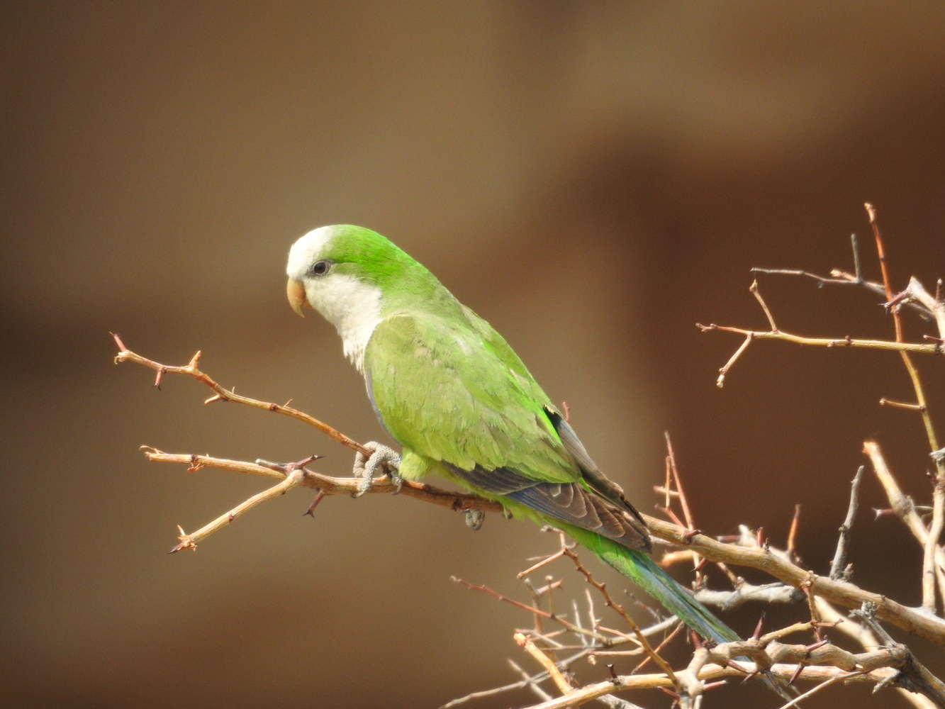
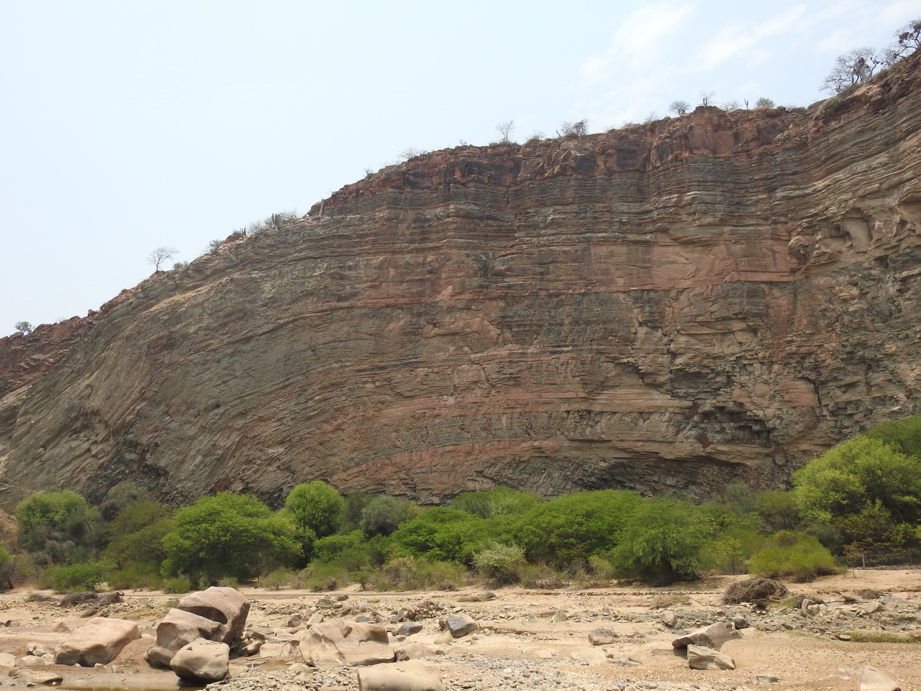
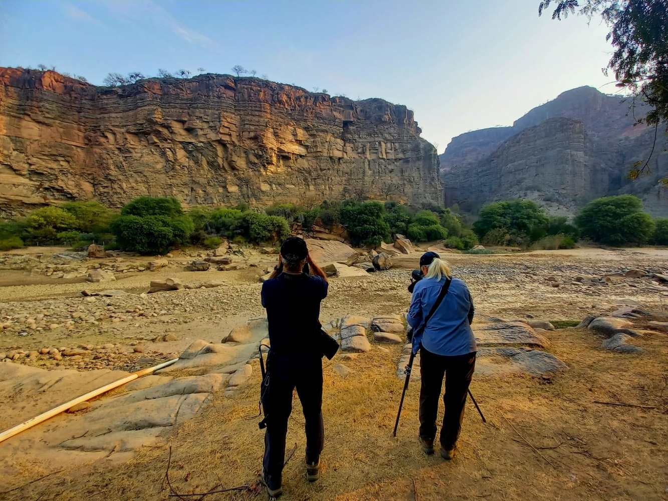
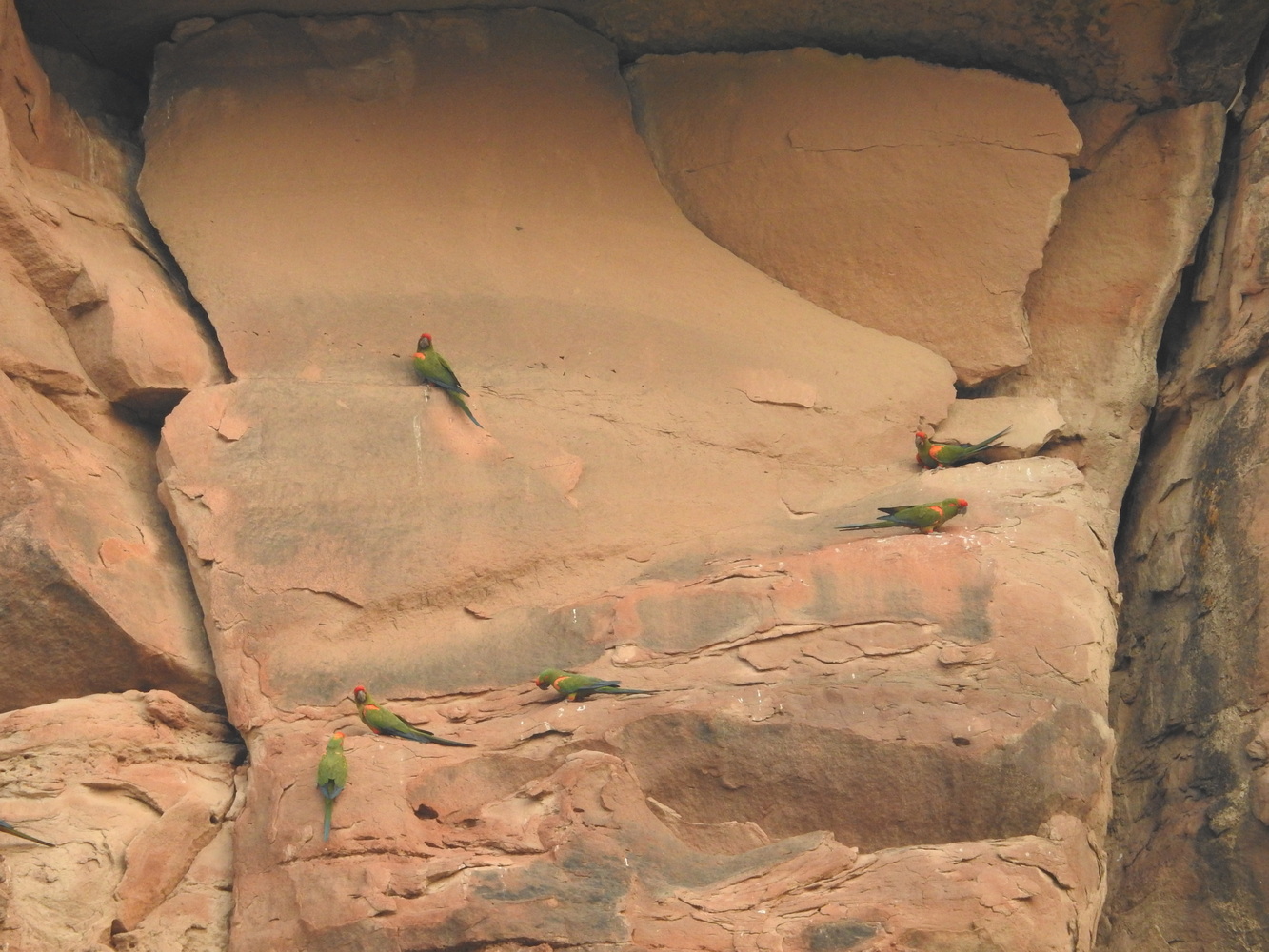
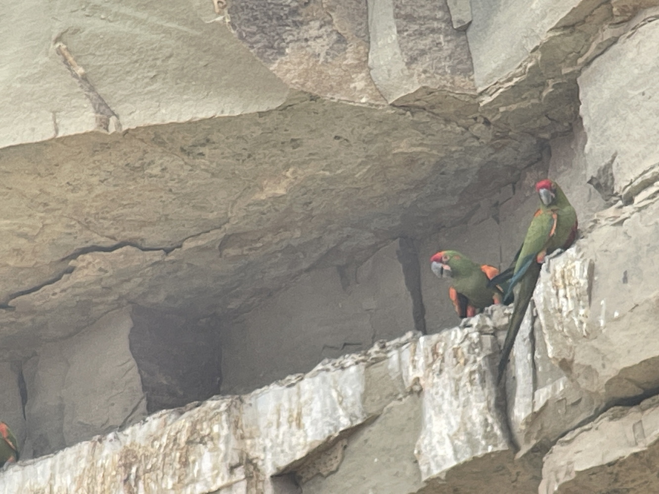
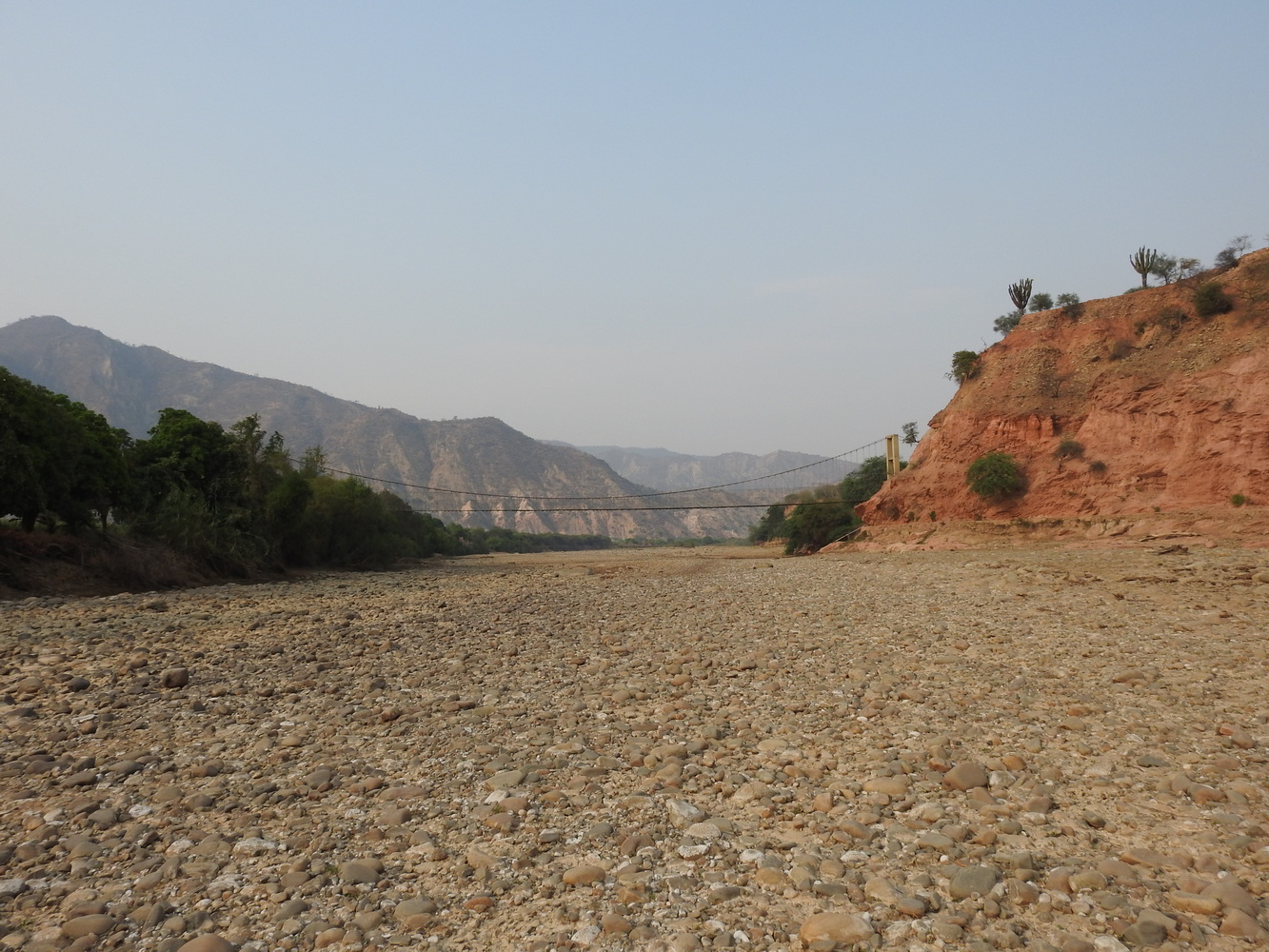
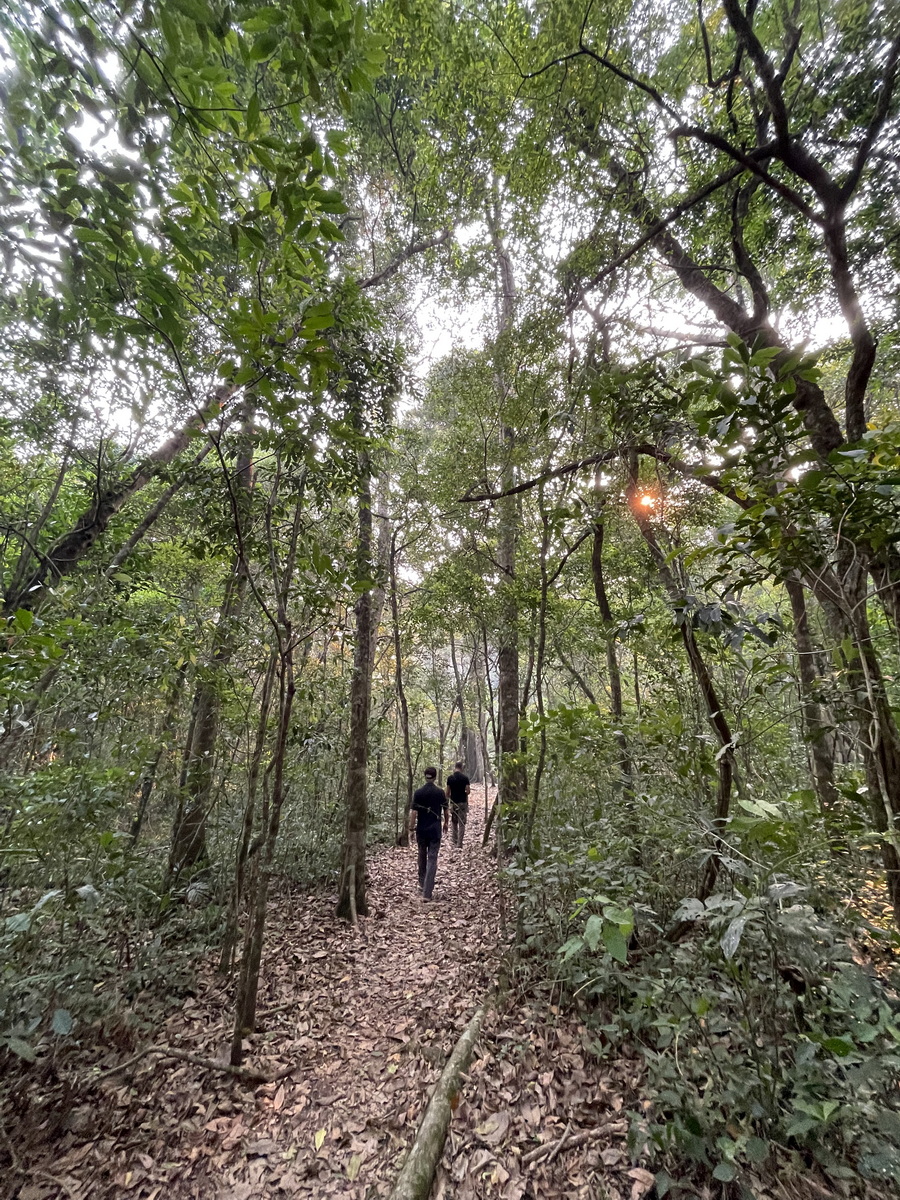
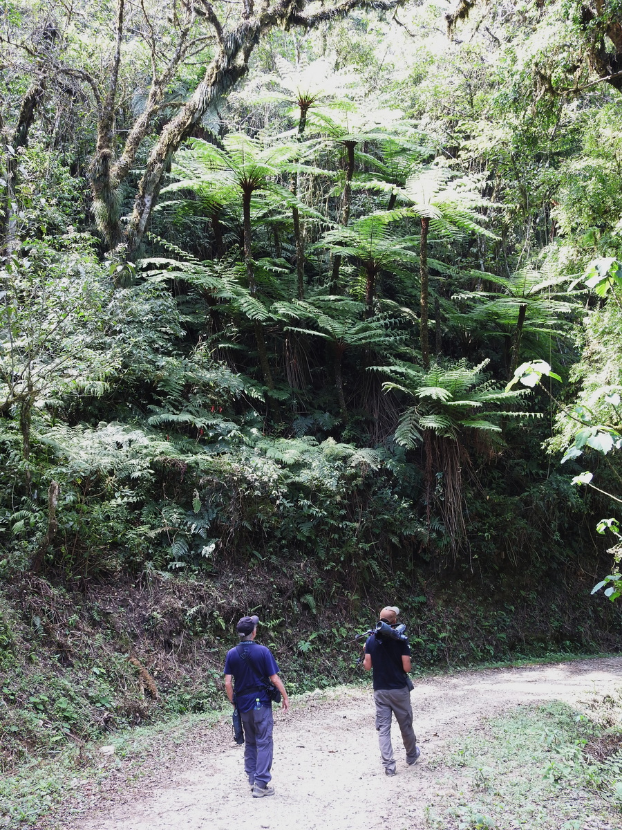
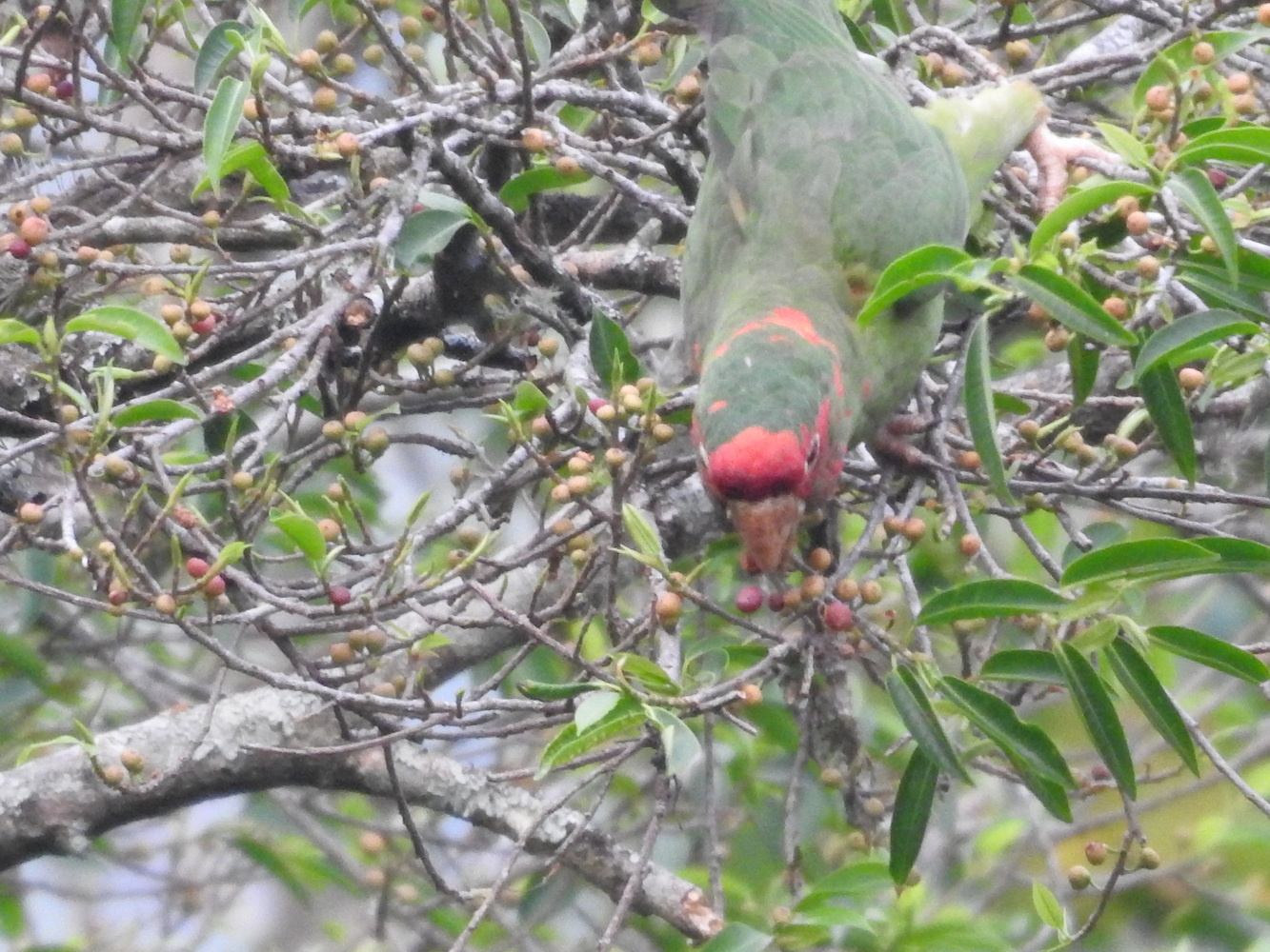
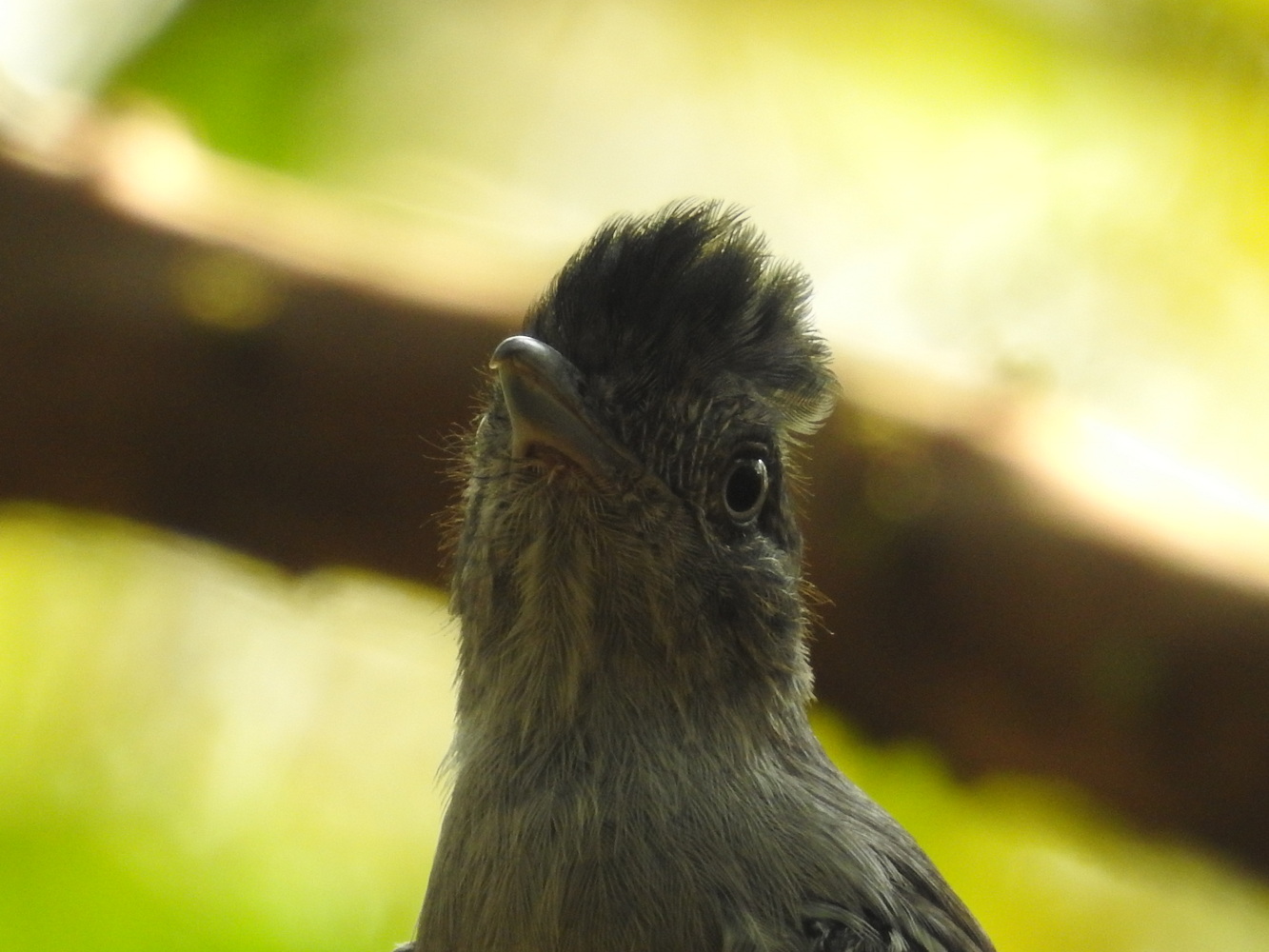
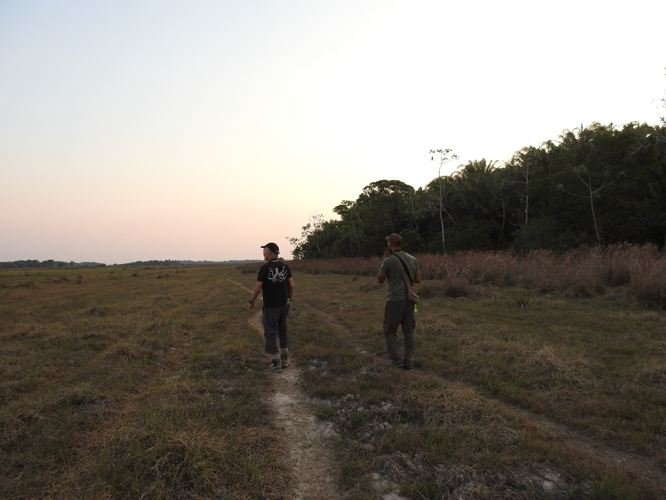
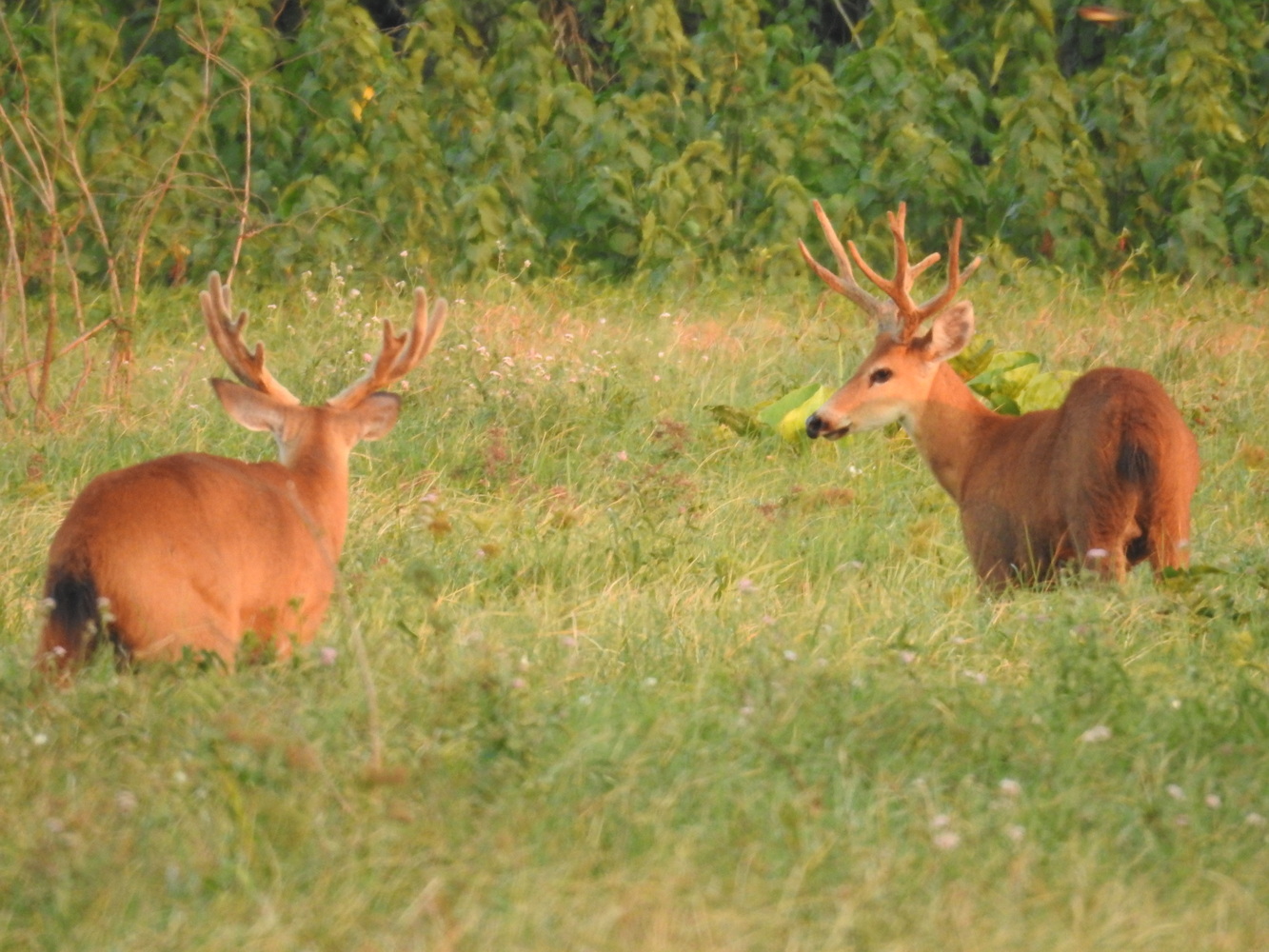
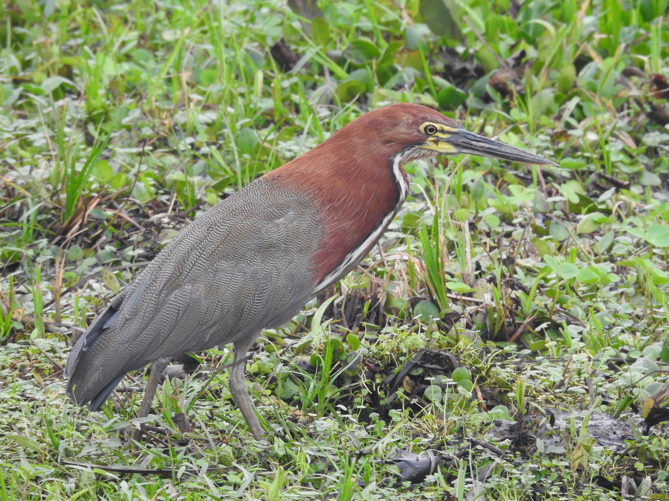
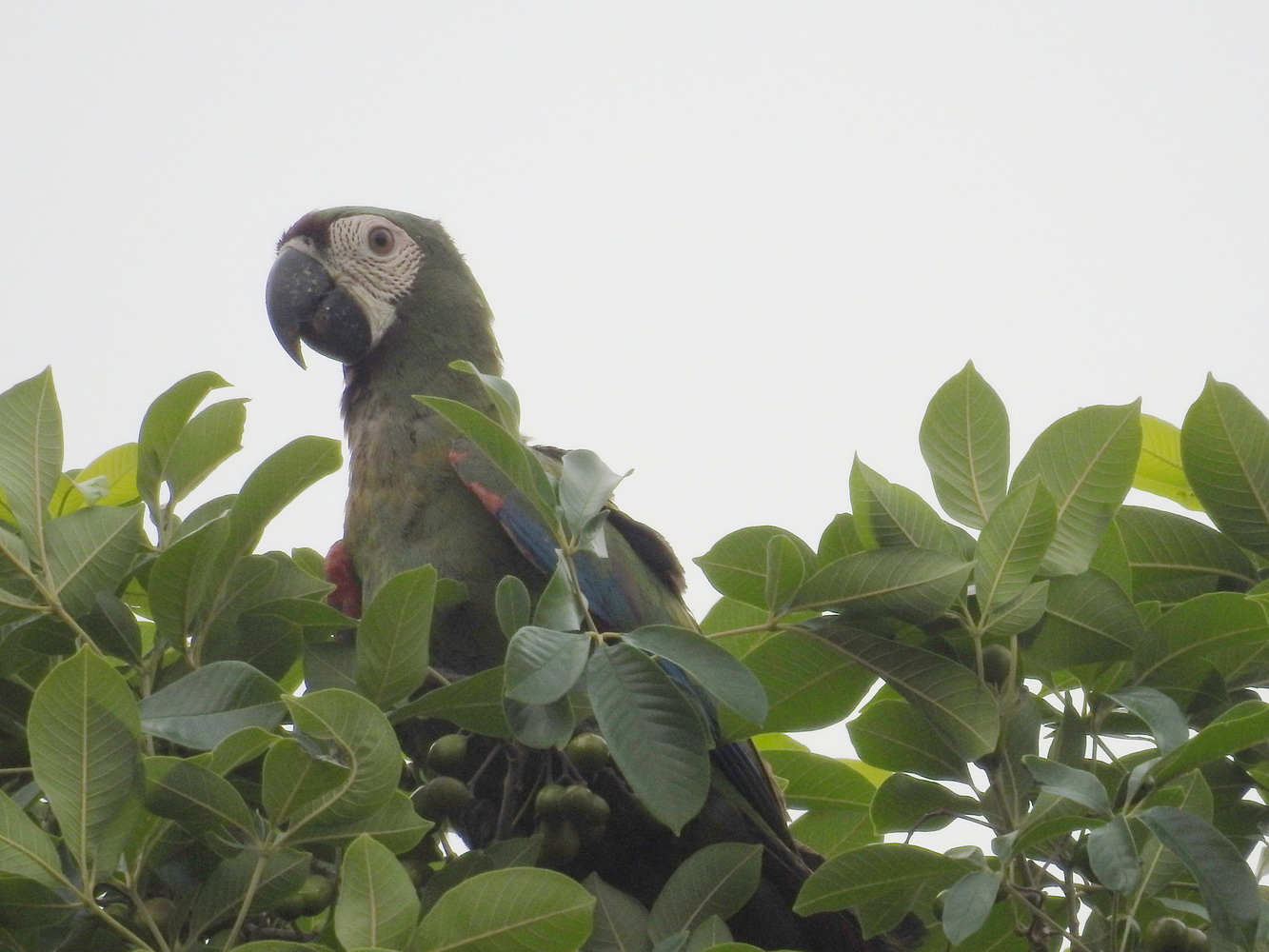
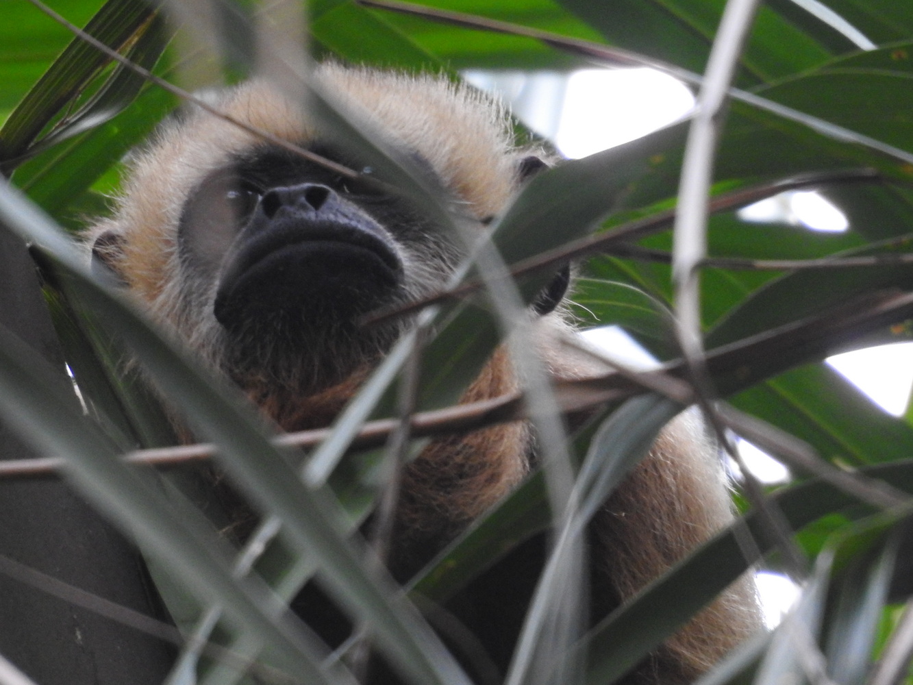
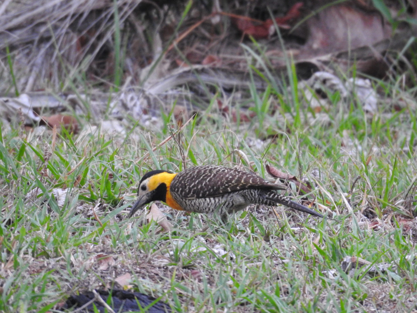
We continued birding and driving to reach Refugio Frenteroja. This is a reserve owned and run by Asociacion Armonia, a non-profit leading Bolivian efforts on habitat and species protection. This reserve protects the endangered Red-fronted Macaws (‘frenteroja’ in Spanish); it is operated by indigenous people from the local community. What fantastic sightings of these amazing birds in their cliffside homes!


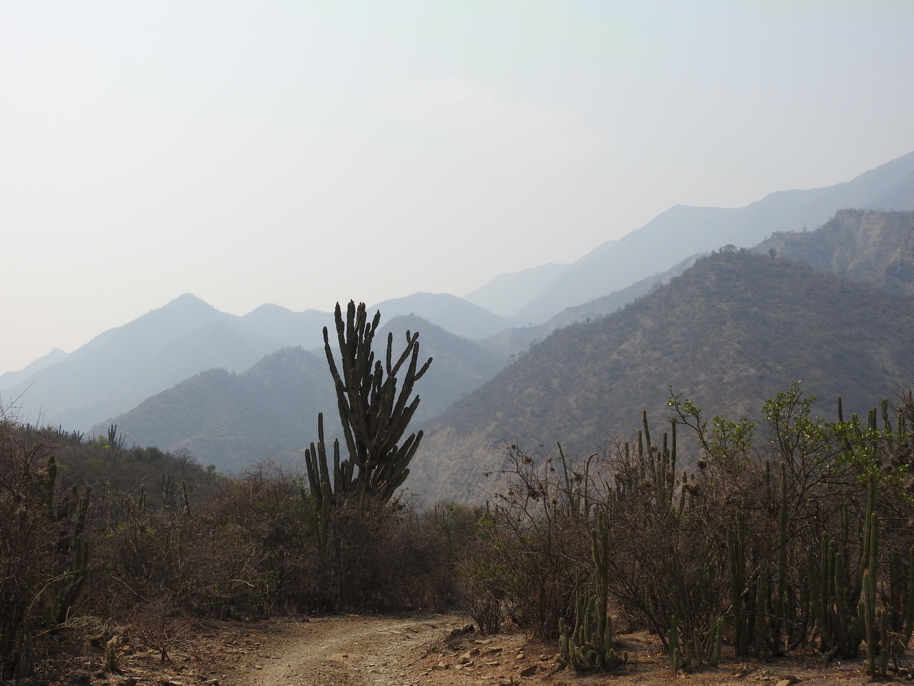


This area was also impacted by unusual weather. As with most of Bolivia, it has struggled with a long-term drought. But when Indio was here a few weeks earlier, the river was flowing well. Soon after that, an abnormally heavy and intense rain washed silt downstream, taking away the food and habitat for the Little Ground-tyrant – it would have been a lifer!


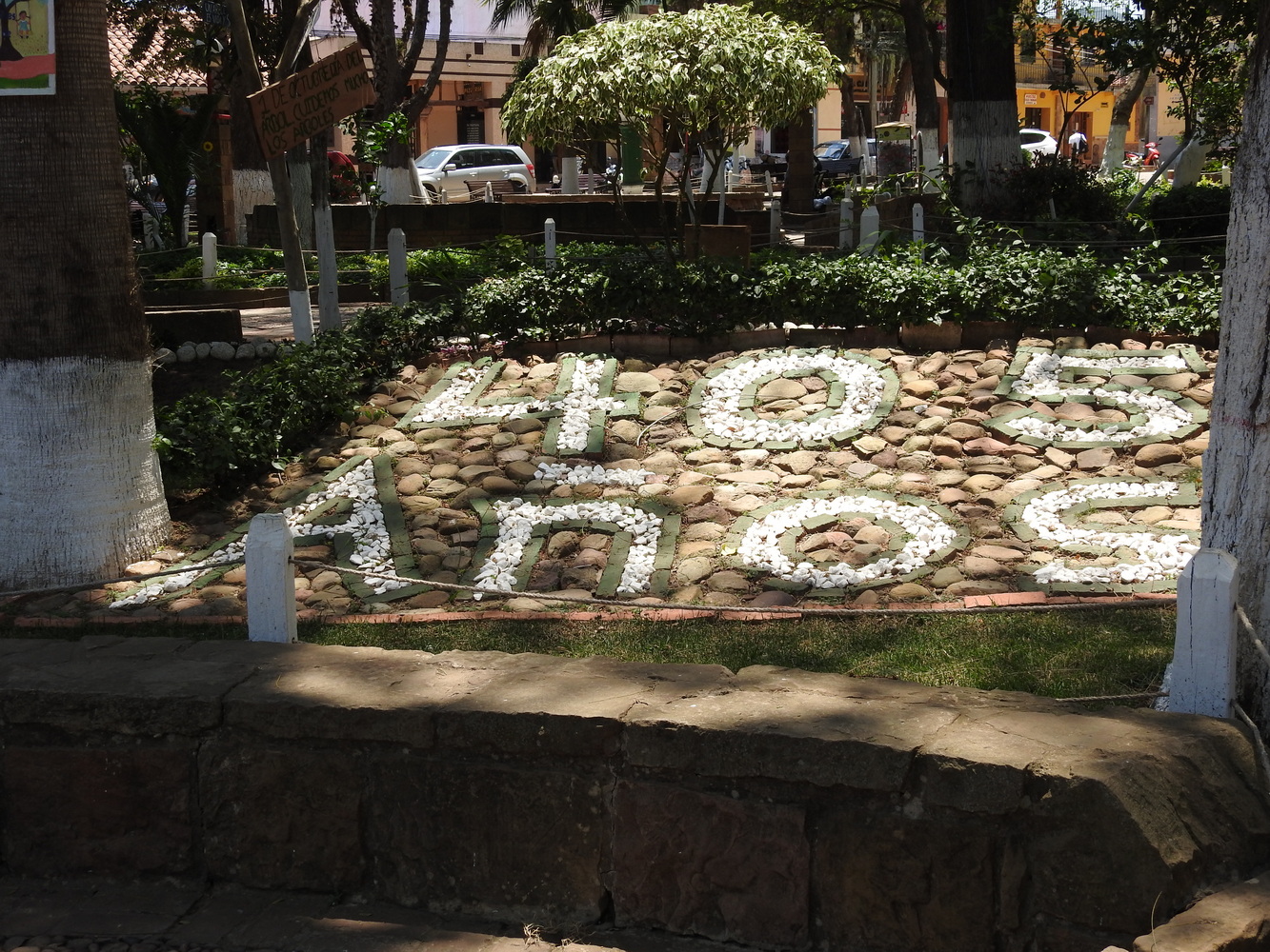
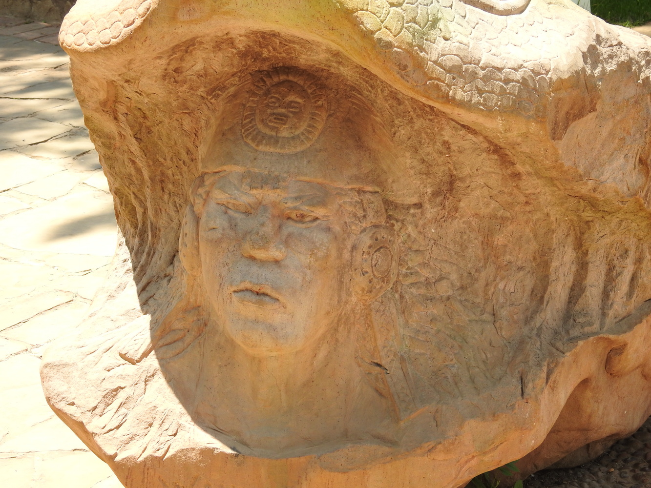
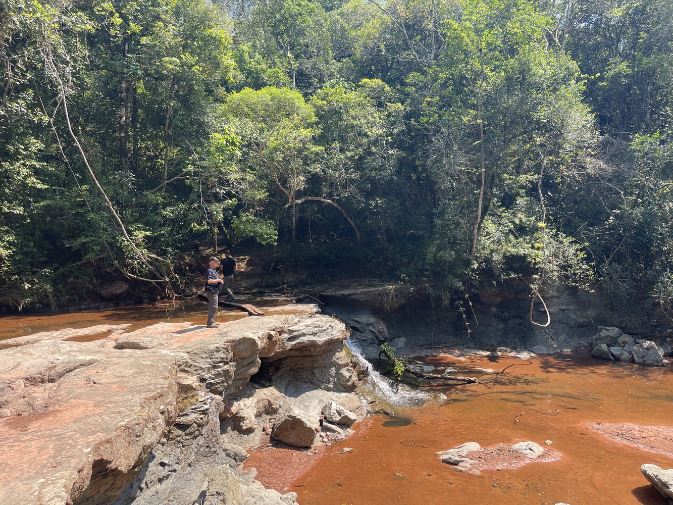
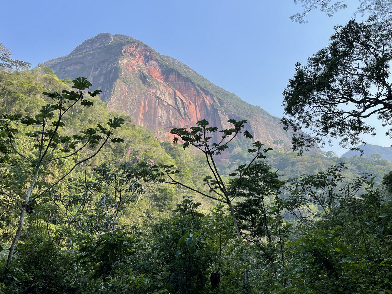
Samaipata, Amboro National Park and Refugio los Volcanes
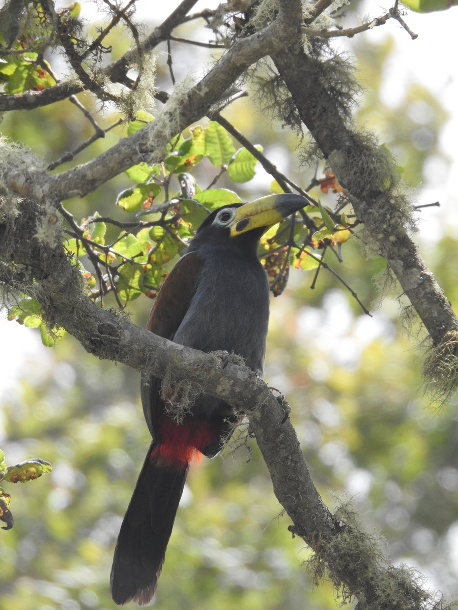
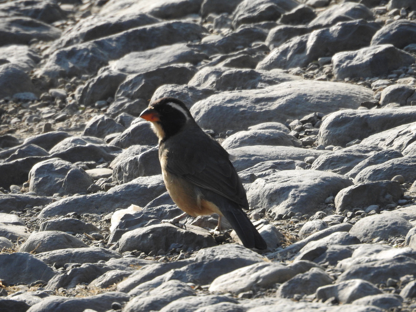
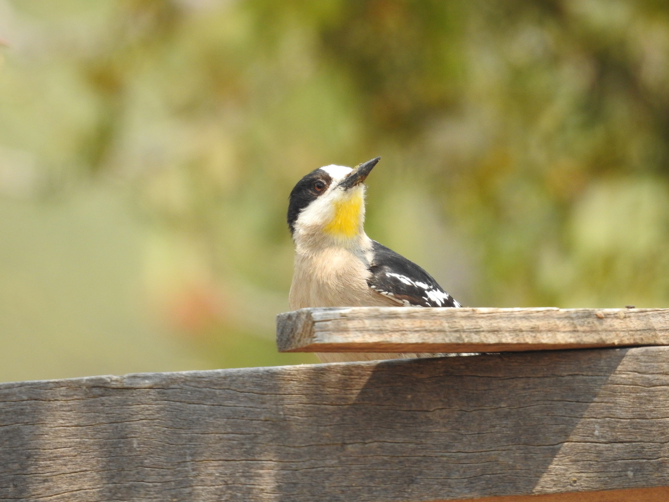
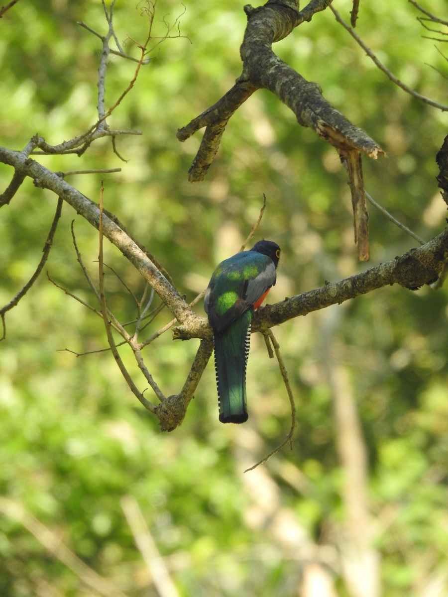
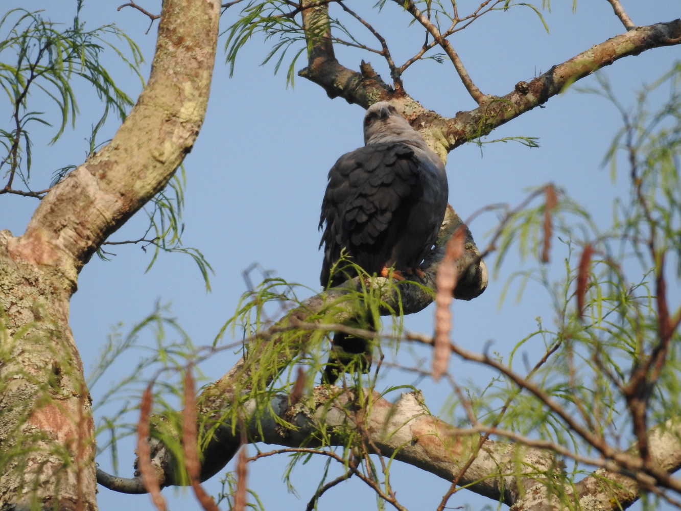
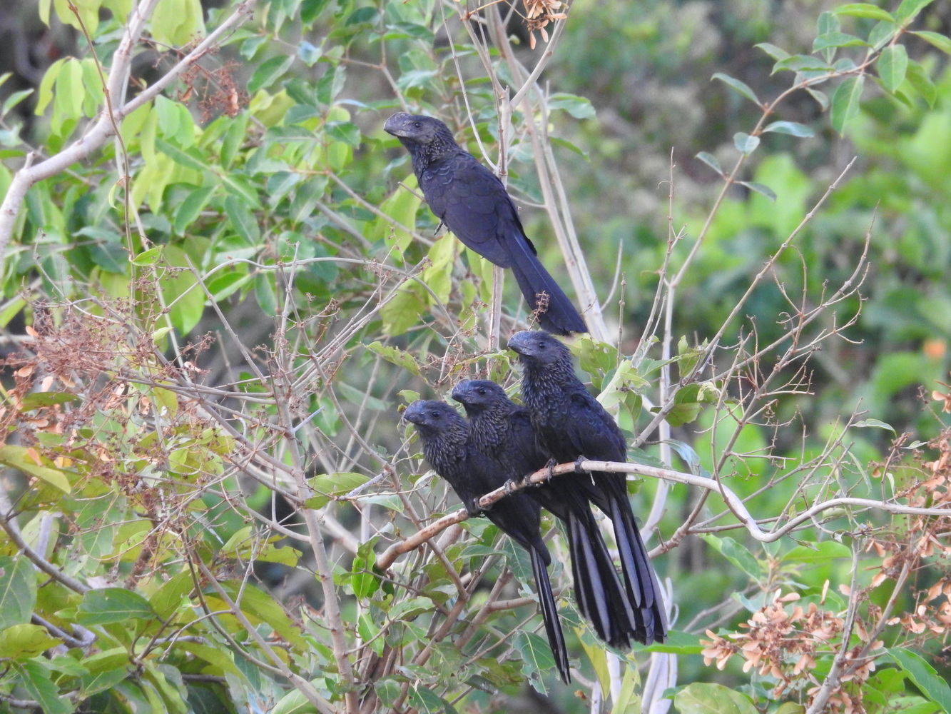
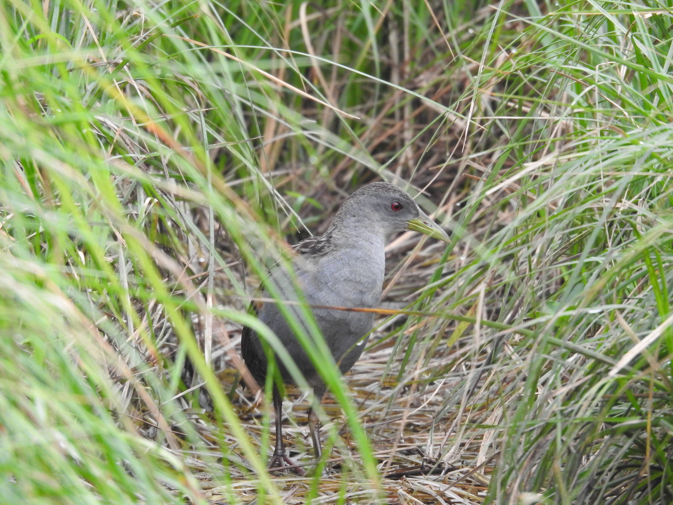
Road construction delayed our arrival in Samaipata, so we missed a leisurely lunch in this charming and ancient community. We did, however, visit the main square. In Amboro, we saw several nice birds, including the Black-and-Chestnut Eagle hidden in the photo below.

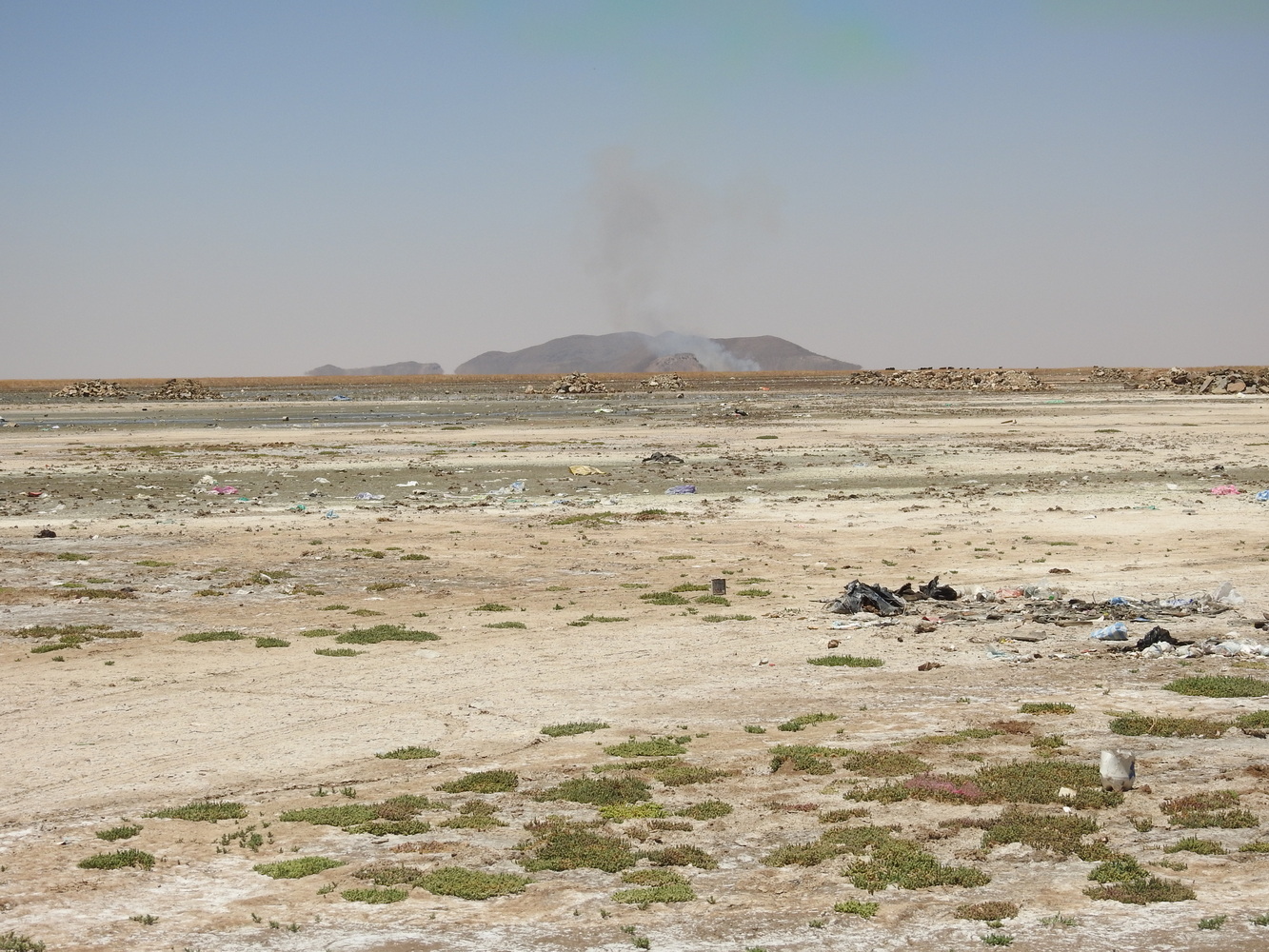
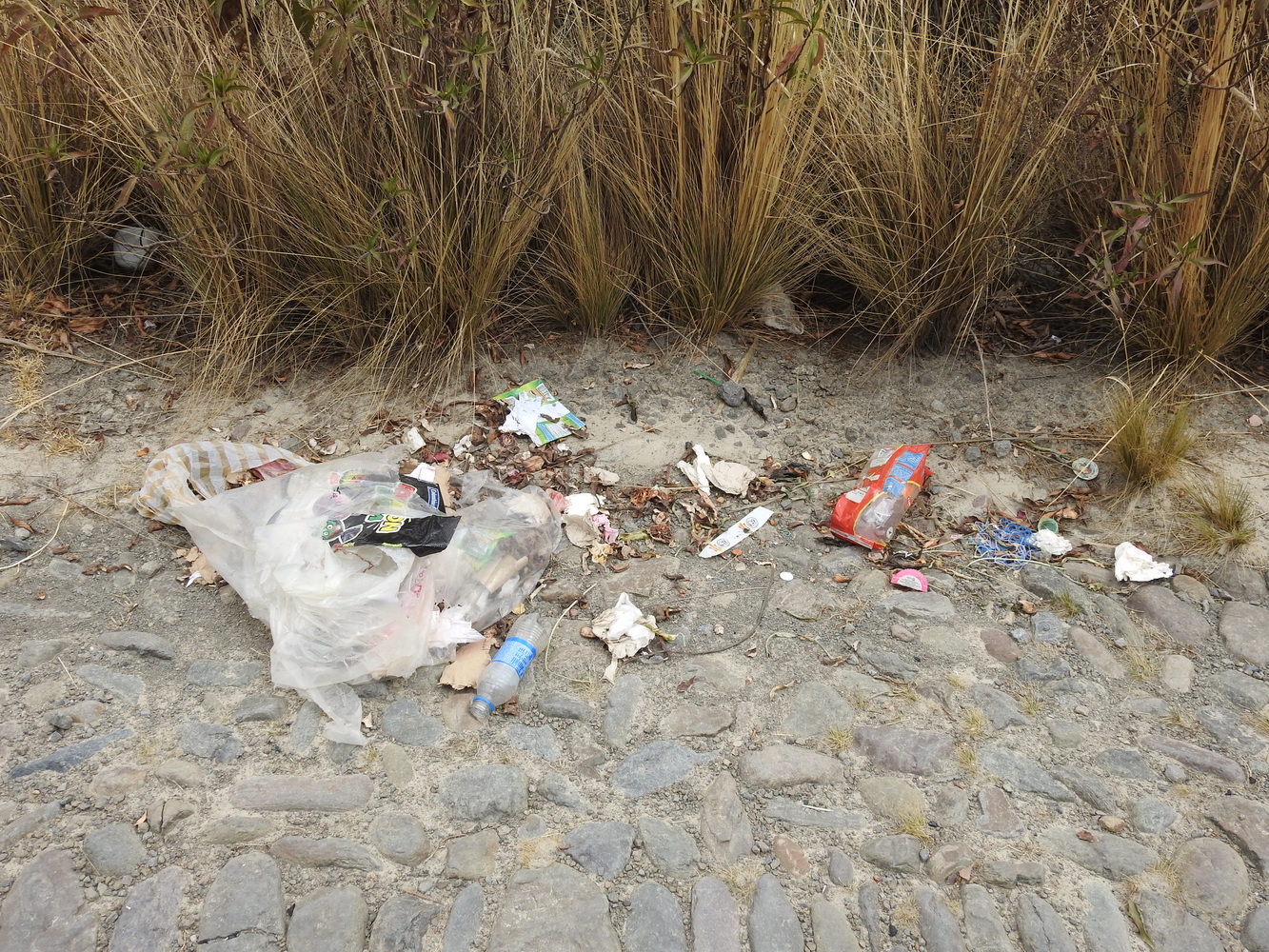
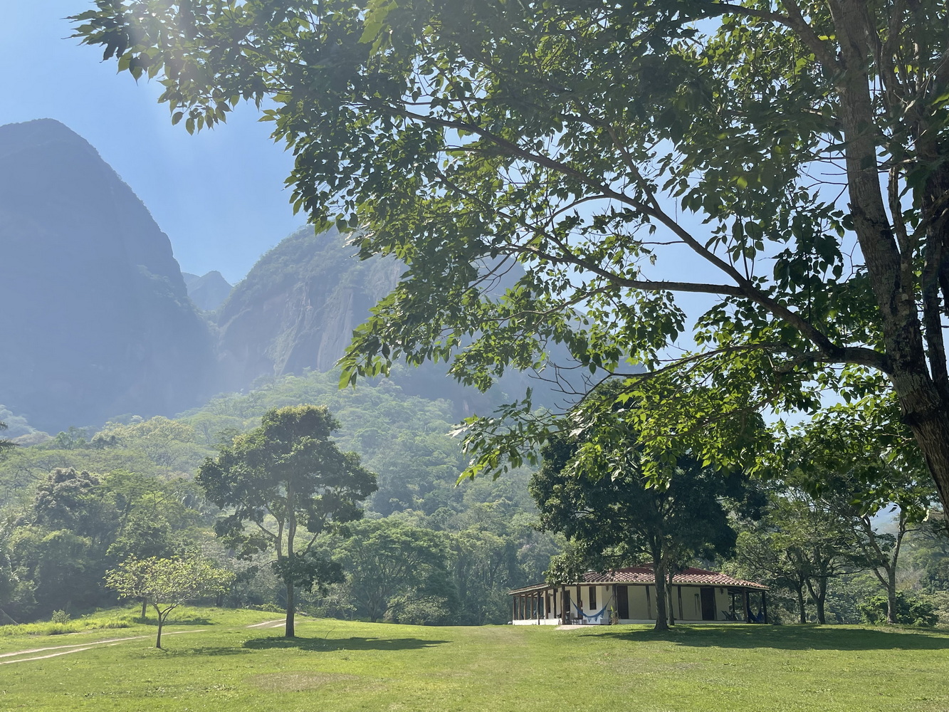
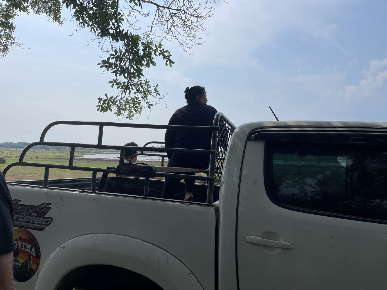
We continued on rocky dirt roads to the entrance of Refugio los Volcanes, a lodge in a valley with mountains that look volcanic but aren’t. The drive from there to the lodge had to be done in 4WD trucks. In addition to the unseasonably hot weather, smoke obscured the area while we were there. We thought this was from the lowlands, where farmers burn the fields. But it was instead from indigenous people burning rainforest in a national park to make illegal settlements there.


Back to Santa Cruz
Hugo was waiting for us when we returned to the Los Volcanes entrance, and we then drove back to Santa Cruz (which turns out to be Hugo’s home town). He found us a great place for lunch, which was followed by a good time at the Santa Cruz Botanical Garden and a return to our Swissotel.


The Amazonian Lowlands
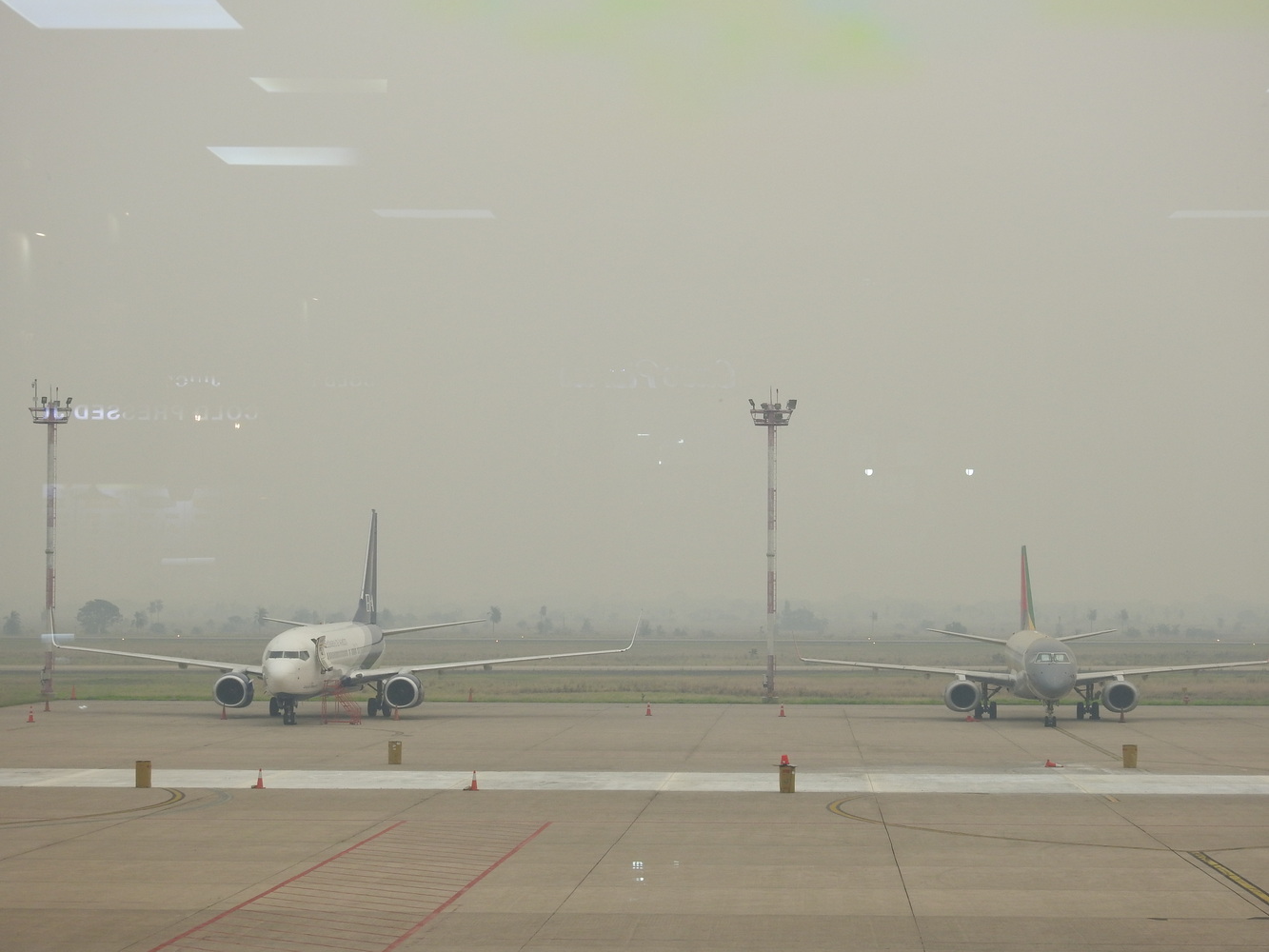
The next morning, smoke from the fires continued to obscure views. It also caused the closure of all schools in Santa Cruz for four days! We were able to catch our flight to Trinidad (officially “La Santissima Trinidad”), a small community in the Beni Department (similar to a state). It’s the jumping-off point for the parts of the Bolivian Amazon that are accessible — other areas are off-limits because of coca-growing and safety issues.
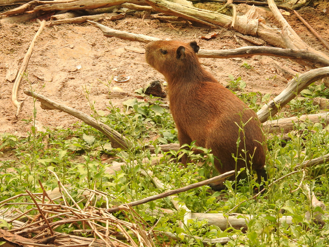
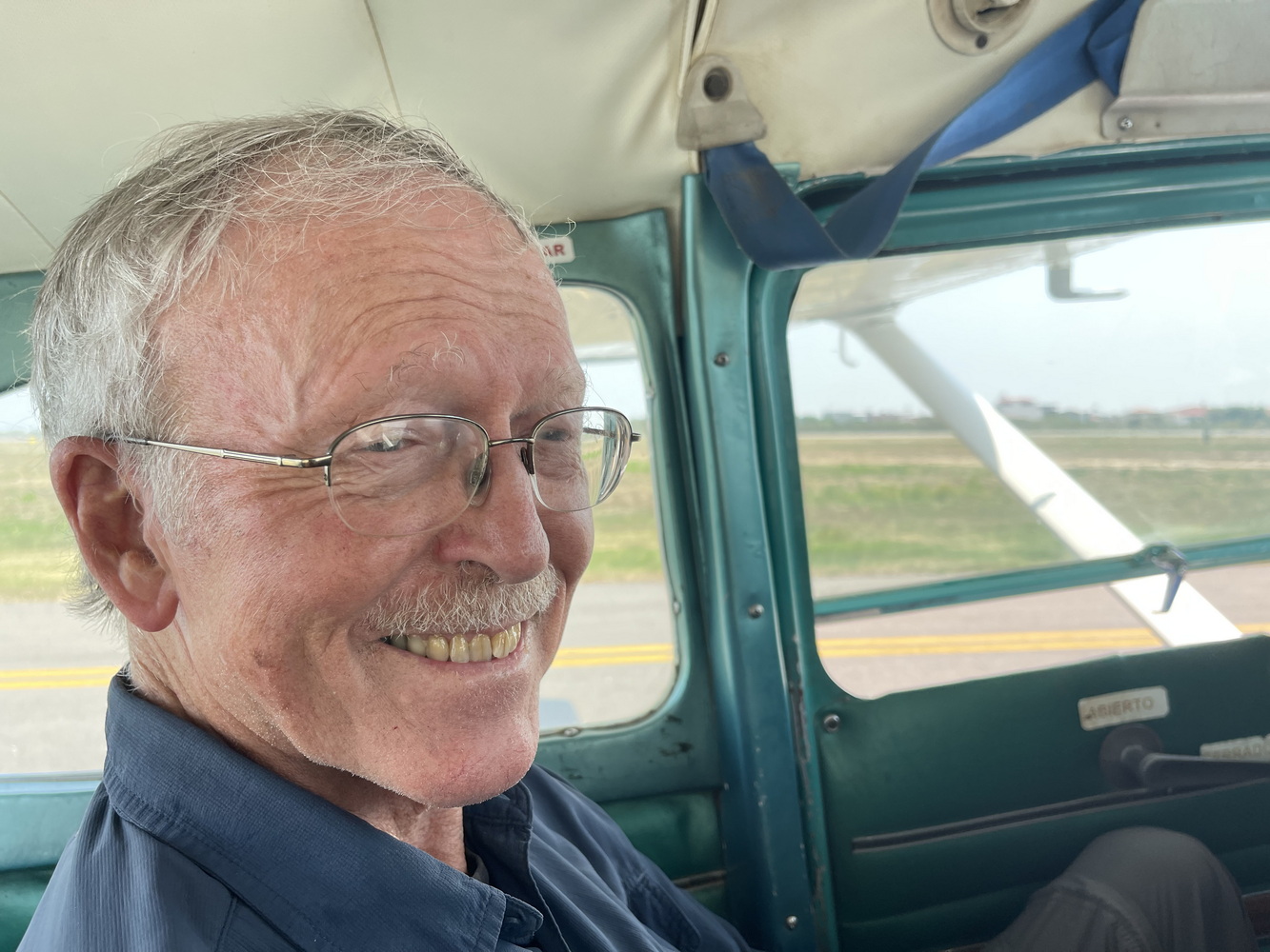
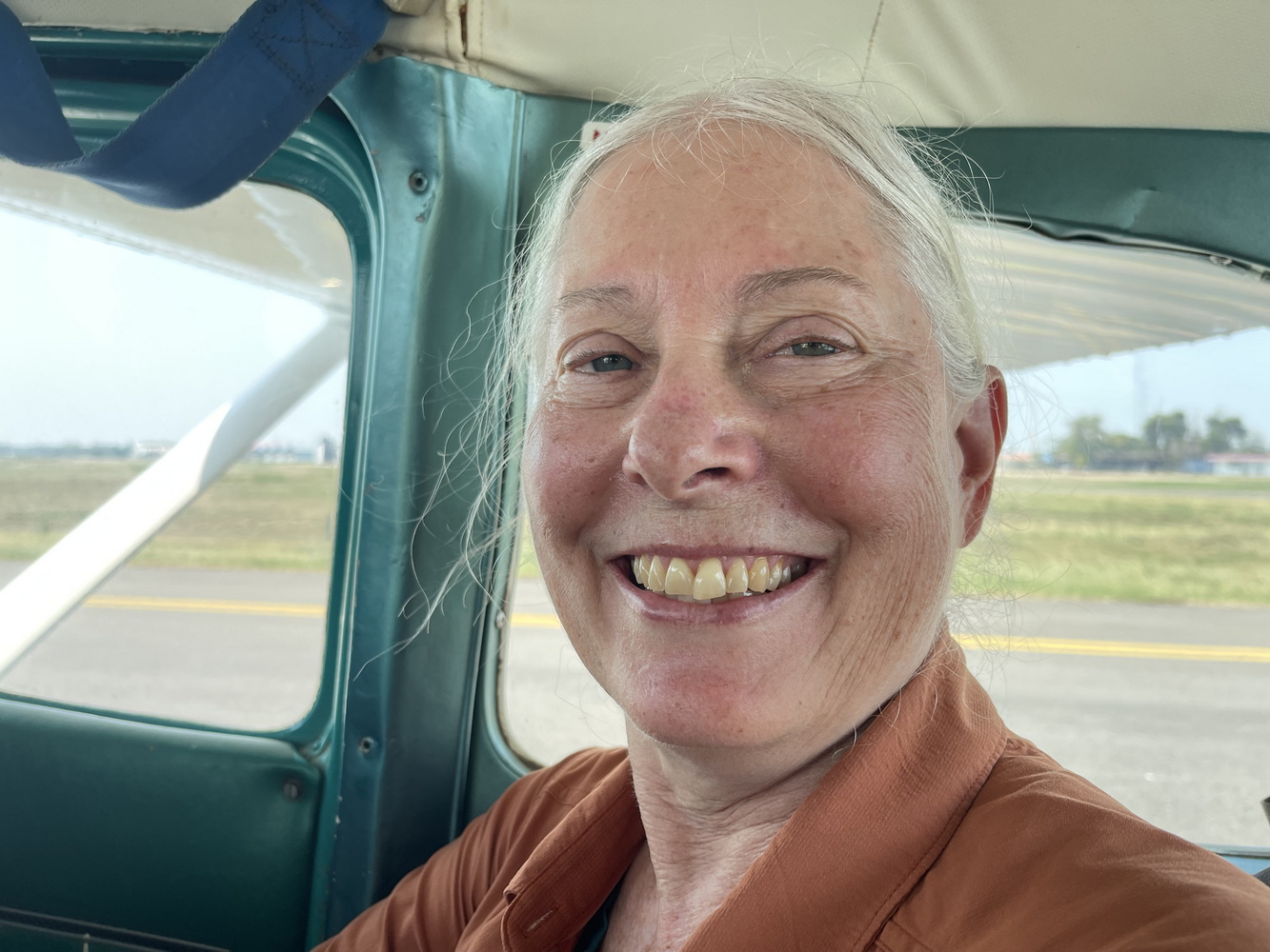
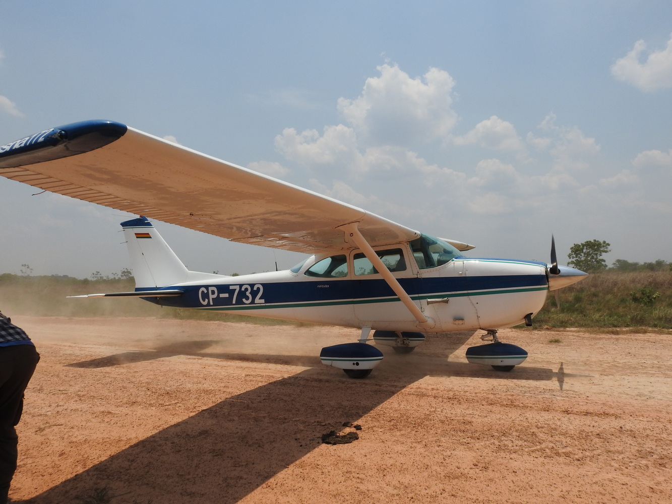
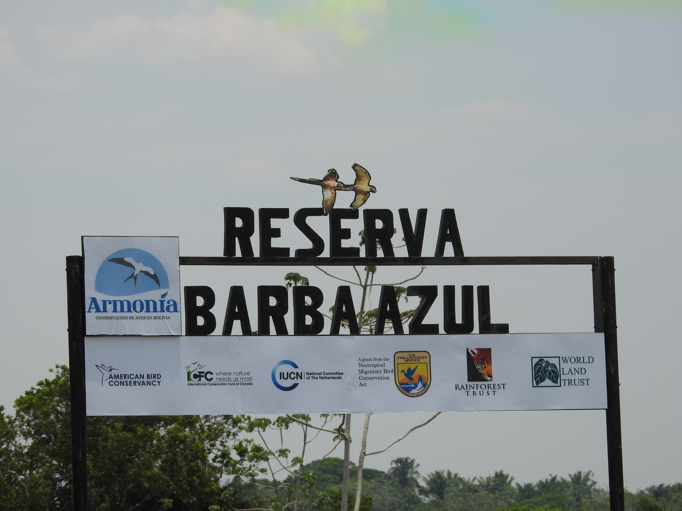
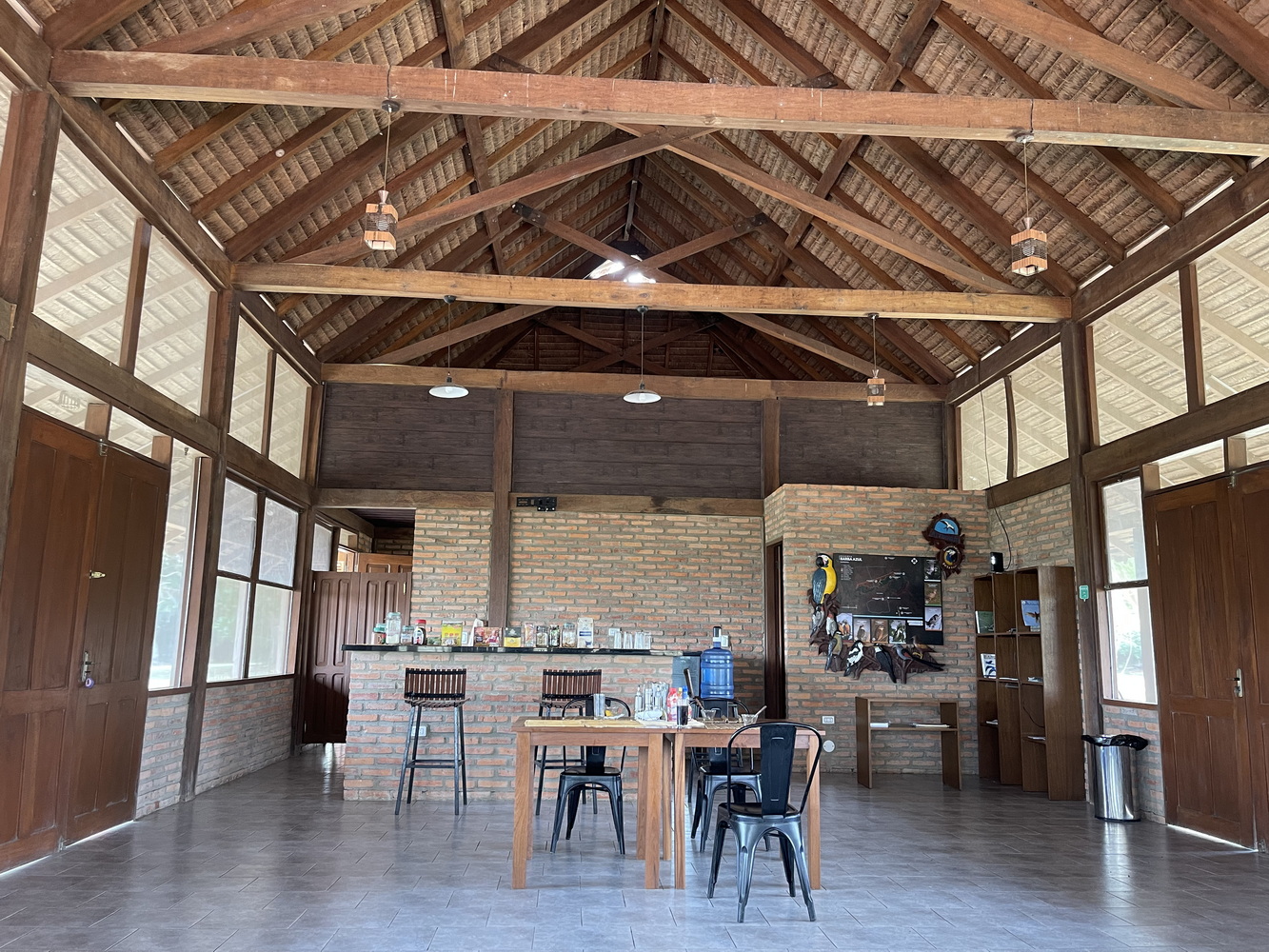
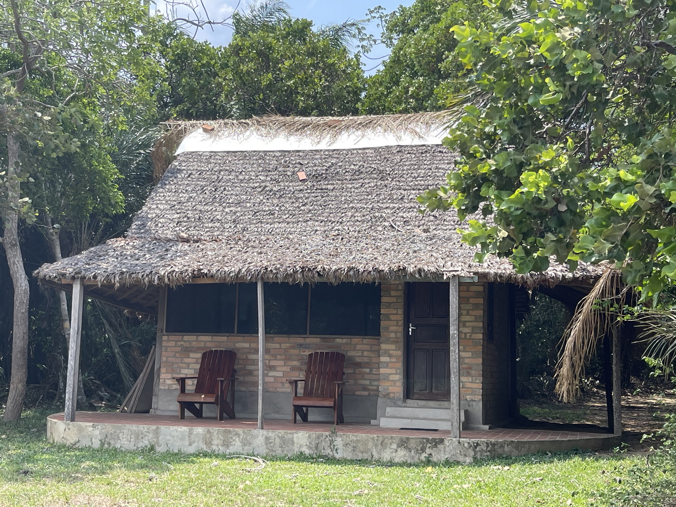
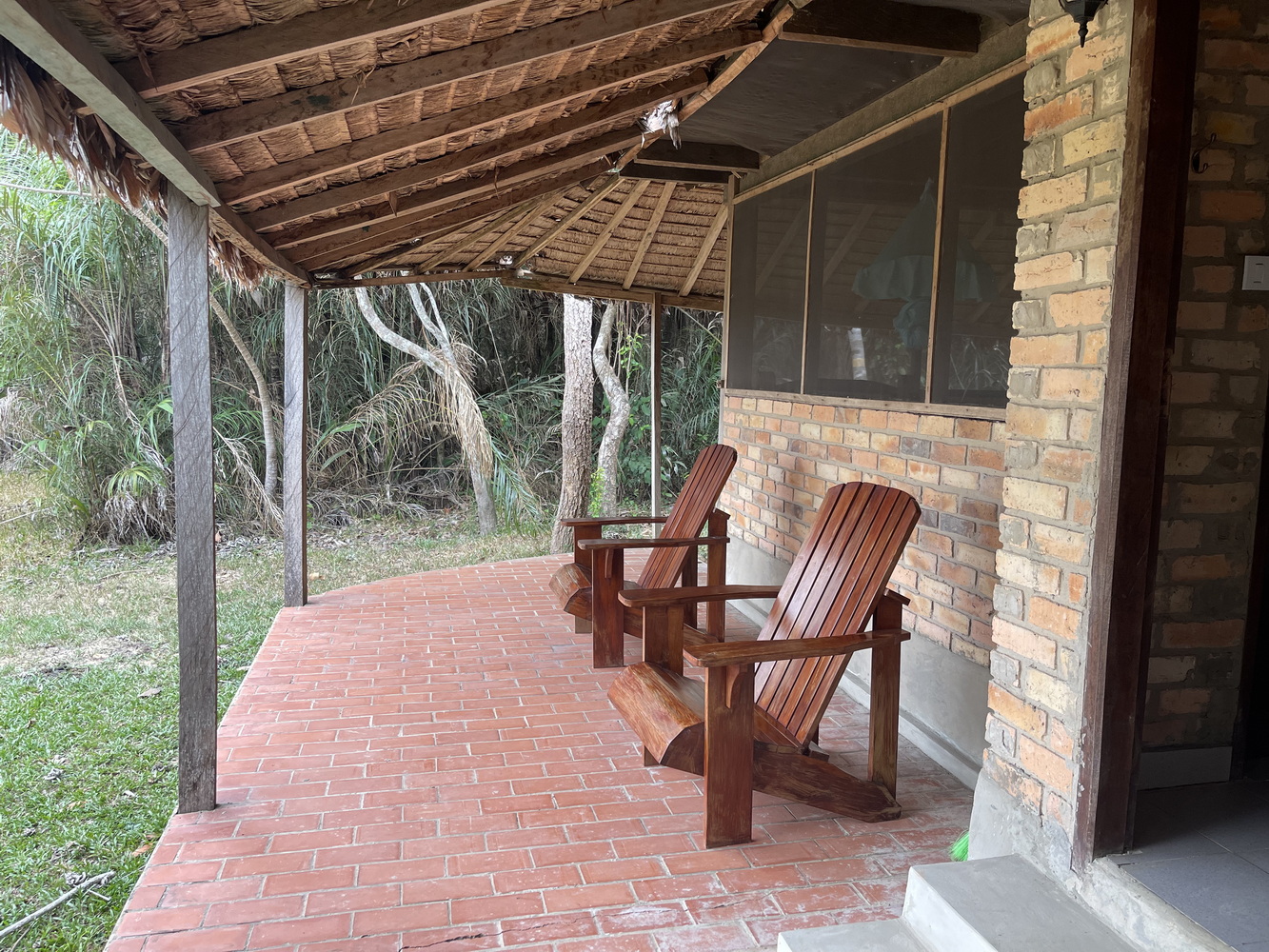
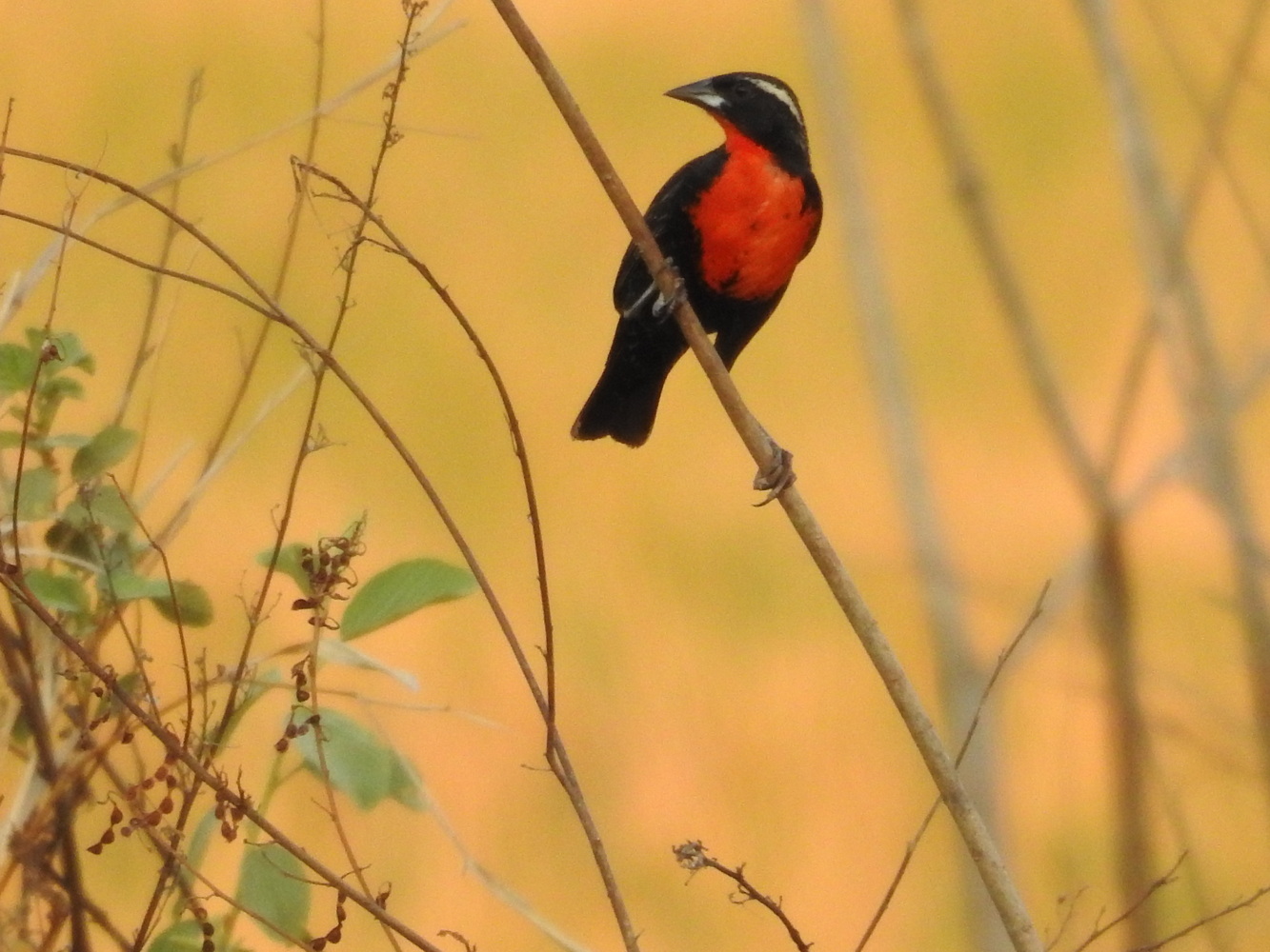
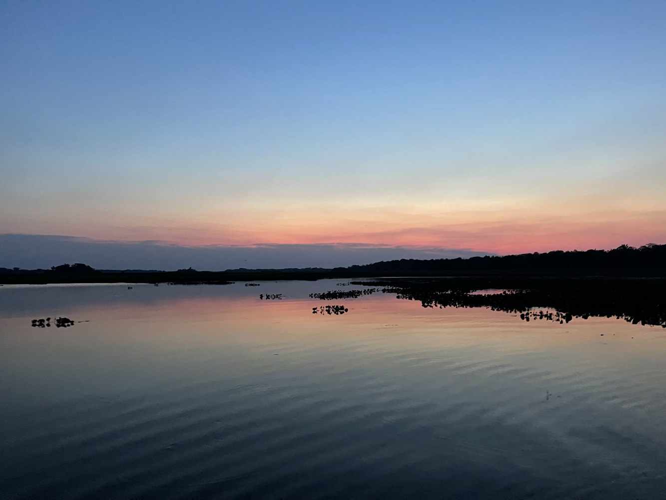
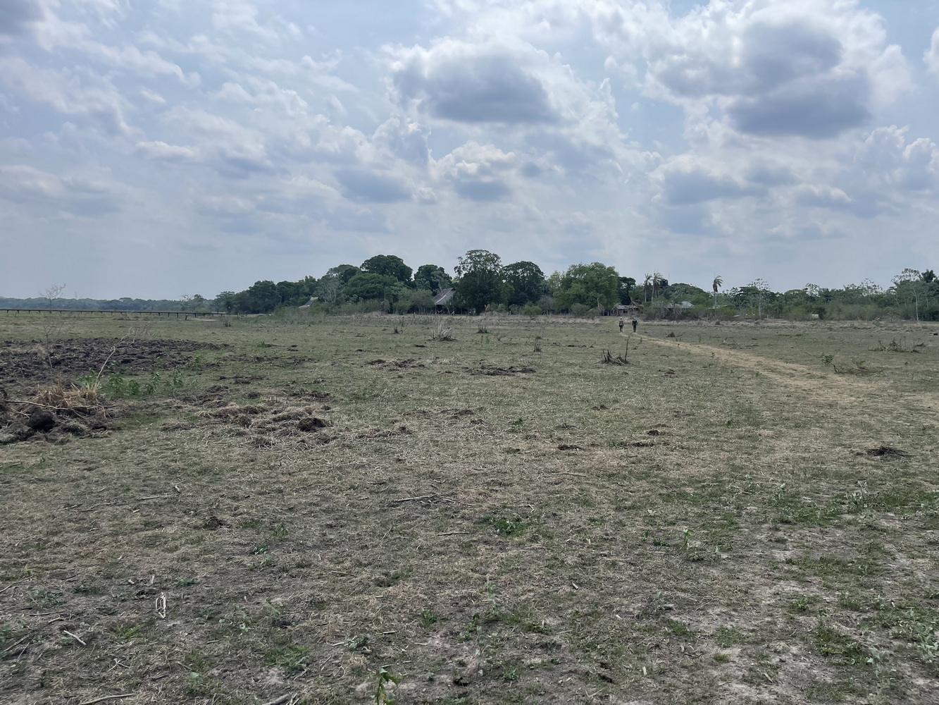
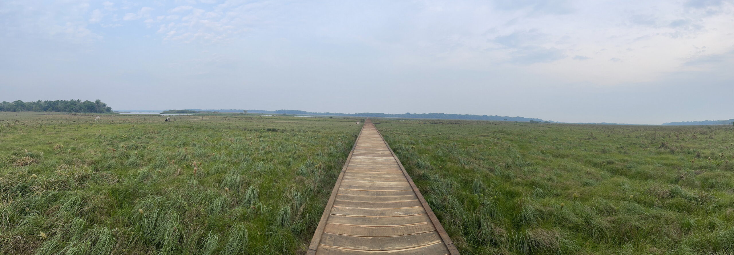
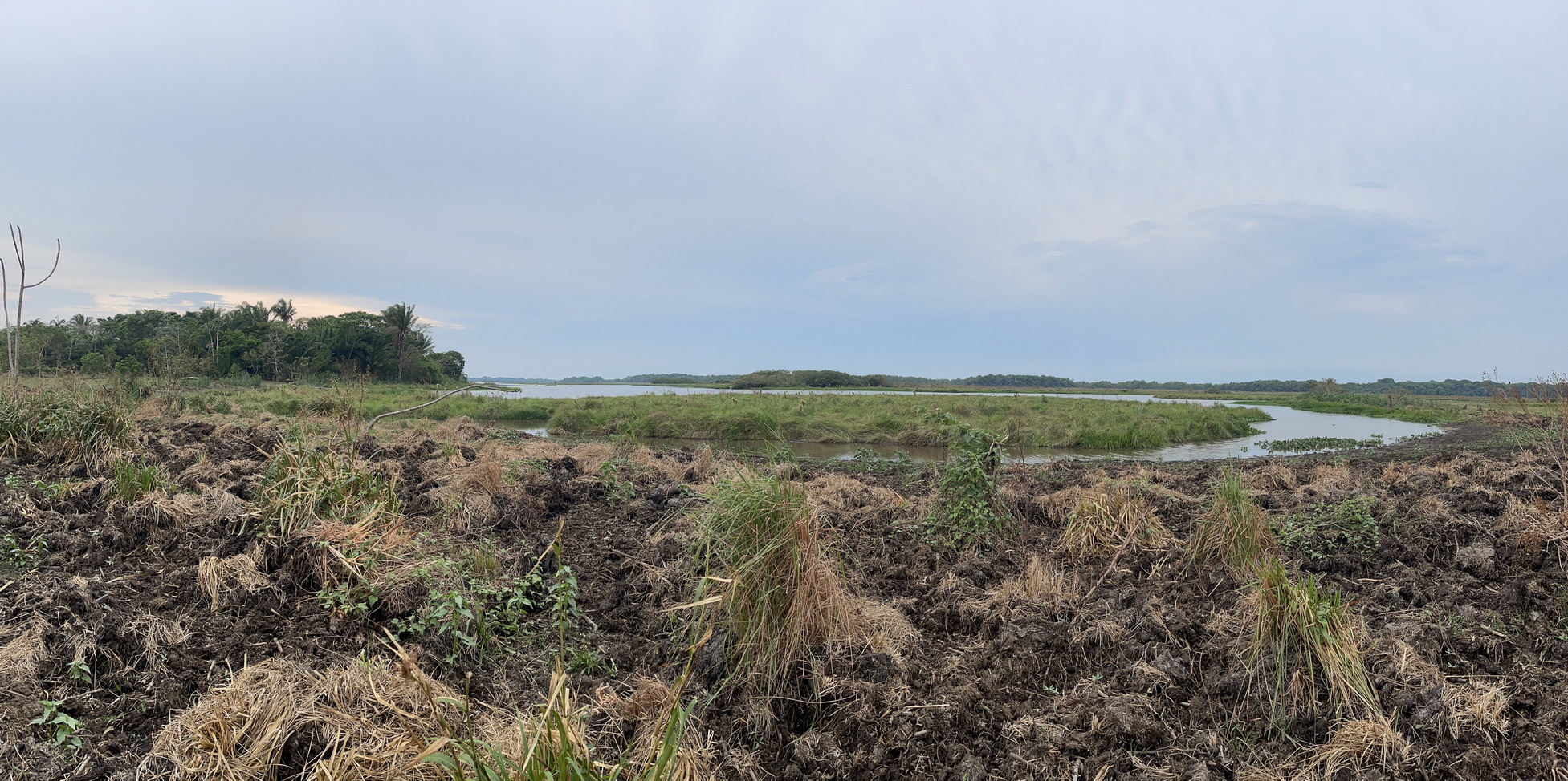
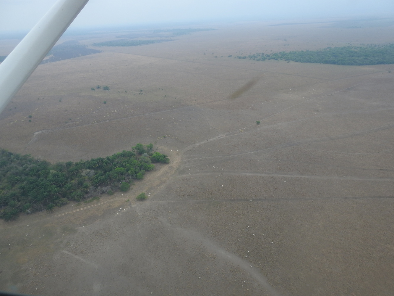
At the Trinidad Airport, we met Captain Arias, who piloted one of the smallest planes we’ve been on in years! The four of us (Karen and Terry, Indio and the pilot) and our small bags barely fit. We flew over forest and meandering rivers to arrive at another Armonia property, Reserva Barba Azul. Named for the Blue-throated Macaws which it protects (and which are called ‘Barba Azul’ or ‘Bluebeard’ in Spanish), we found that we were the only guests and the last ones of the season. Indio’s negotiating skills made the best of some logistical difficulties here, and we ended up seeing several extremely rare birds.


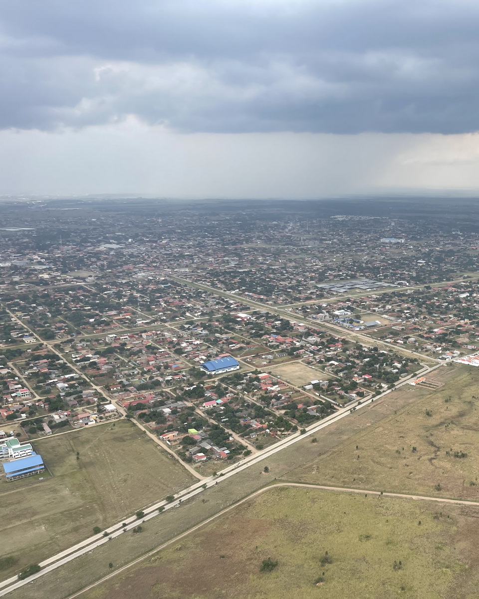
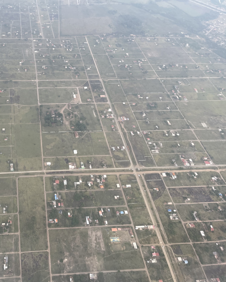
Once More, Back to Santa Cruz
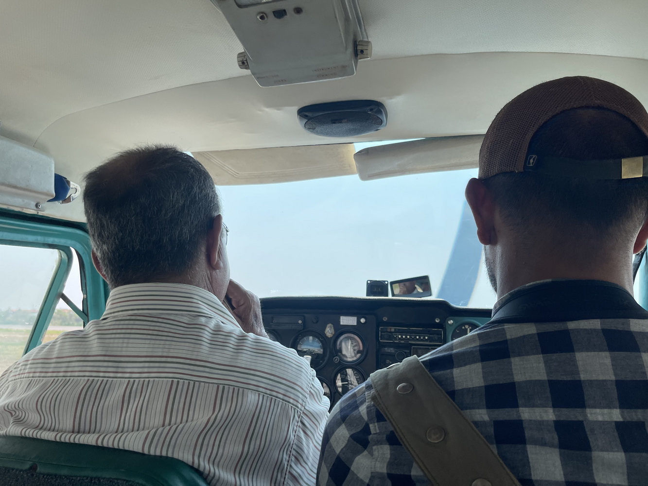
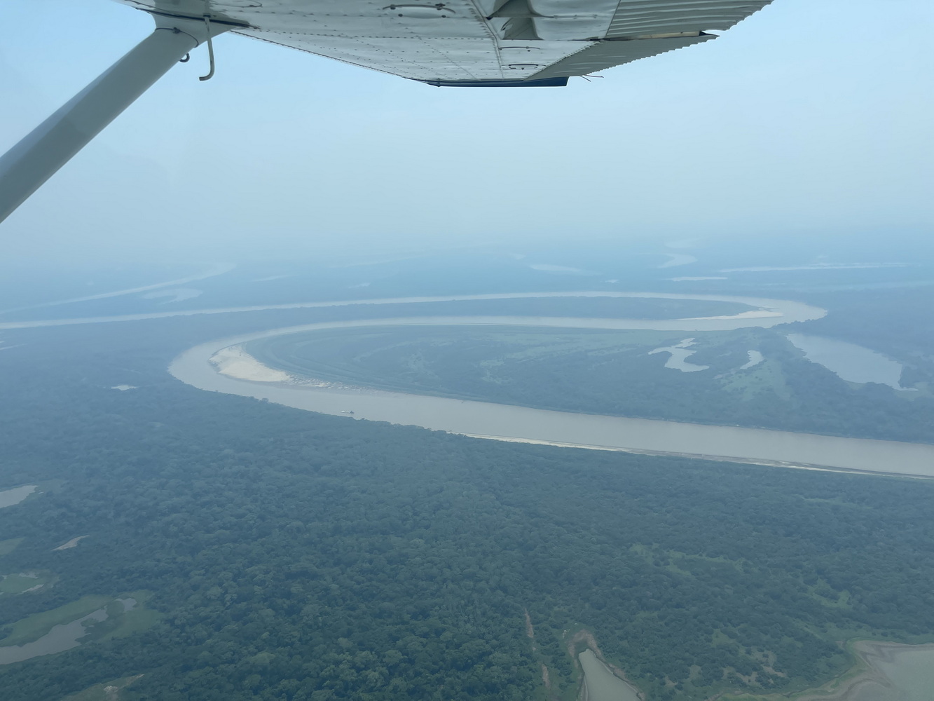
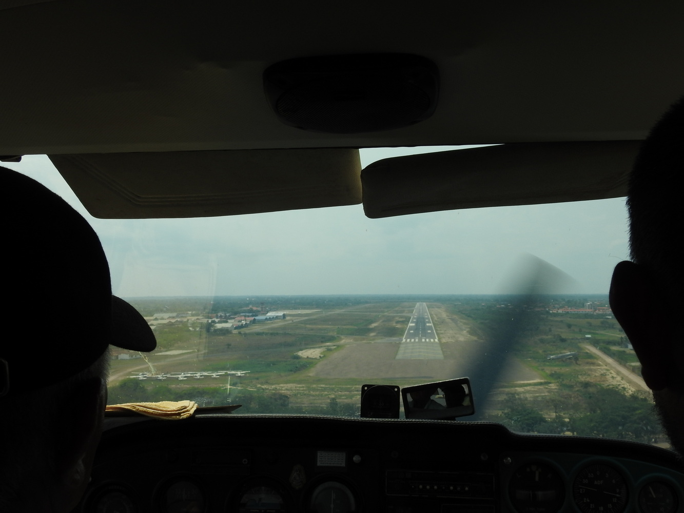
At the end of our stay at Barba Azul, we again took the little plane to Trinidad and a larger one back to Santa Cruz. Here are views from the flights. That night on the TV in the bar, we were amazed to find the first game of the World Series was being played in the Dallas Metroplex — with ‘our’ Texas Rangers playing ‘our’ (sort of) Arizona Diamondbacks!


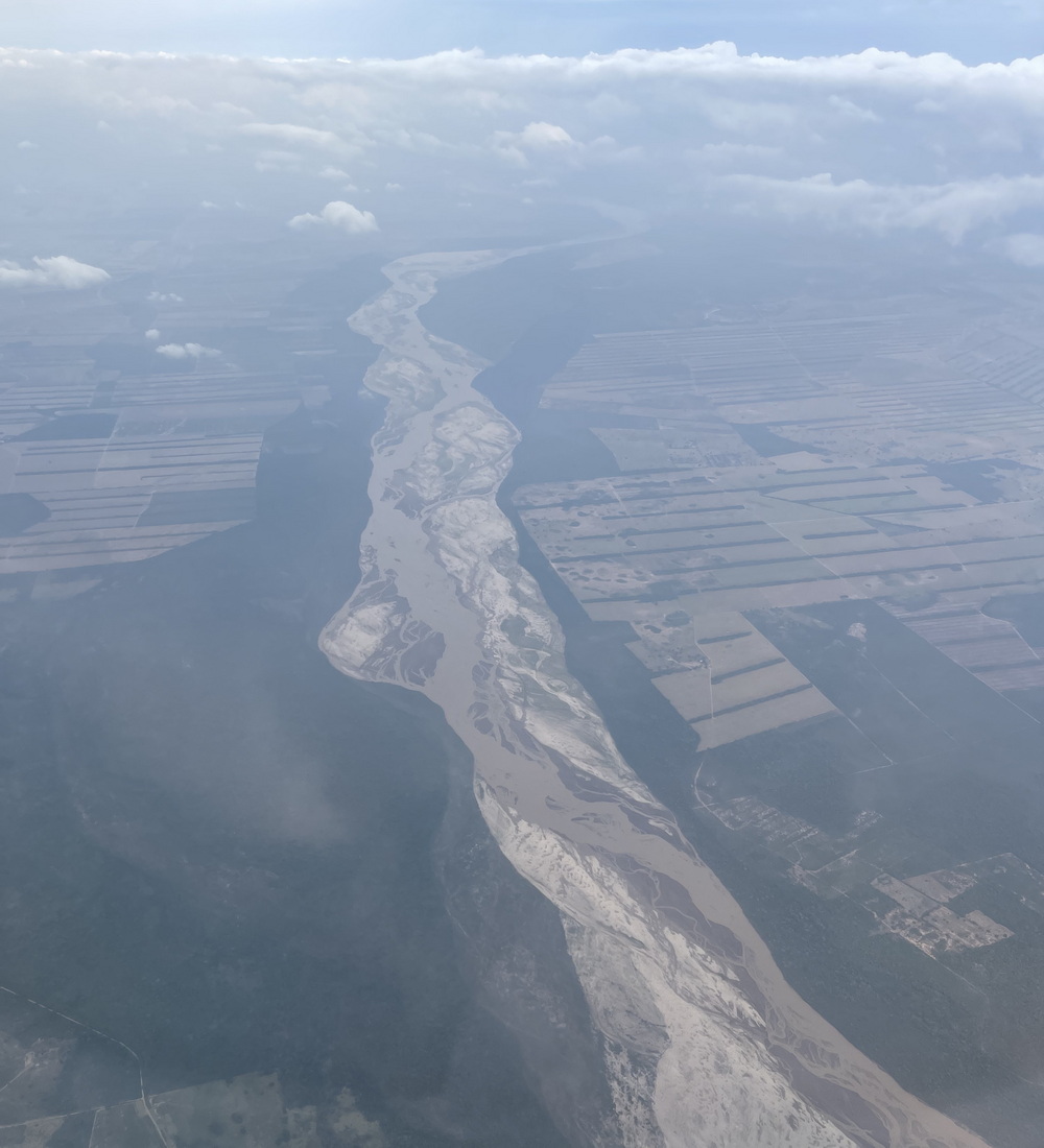
Heading Home
These views, on the way from Santa Cruz to São Paulo, show development patterns leaving the city and the Rio Purai.