Project Description

Trails are connections. But who—and what—they connect can surprise you.
A trail, at its most basic, is a route from an origin to a destination.
But every trail has a different set of stories to tell…
They tell us who created them, why they were created, where they began and why people wanted to move from one place to another. Their connections aren’t always geographic, either. A trail can connect events across time. It can connect cultures. It can connect infrastructure with nature. And sometimes, it can connect a community with an entirely different future.
In this article, we’re exploring six trails in six very different urban areas that connect to their natural settings and cultural histories.
Along the way, we will find the cool places linked by these trails.
See if you can figure out where each one is before you reach the end.
Then go experience the cool places they connect.

How can nature reclaim infrastructure and create a new kind of connection? Read how this trail answers the question.
Can you figure out which trail this is? Keep reading—the answer is at the end.
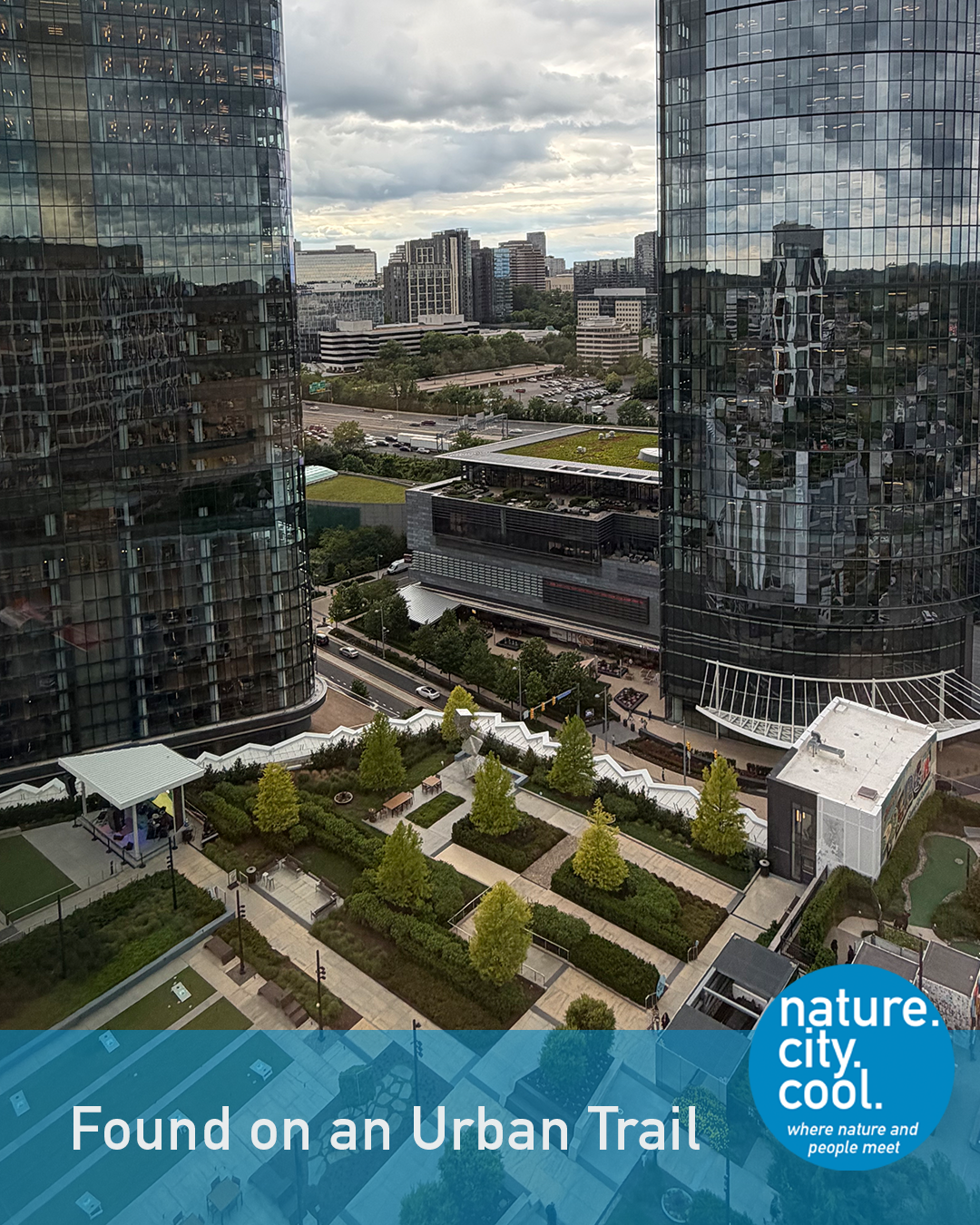
Rooftop urban park with trees, pathways and seating nestled between two reflective glass skyscrapers.
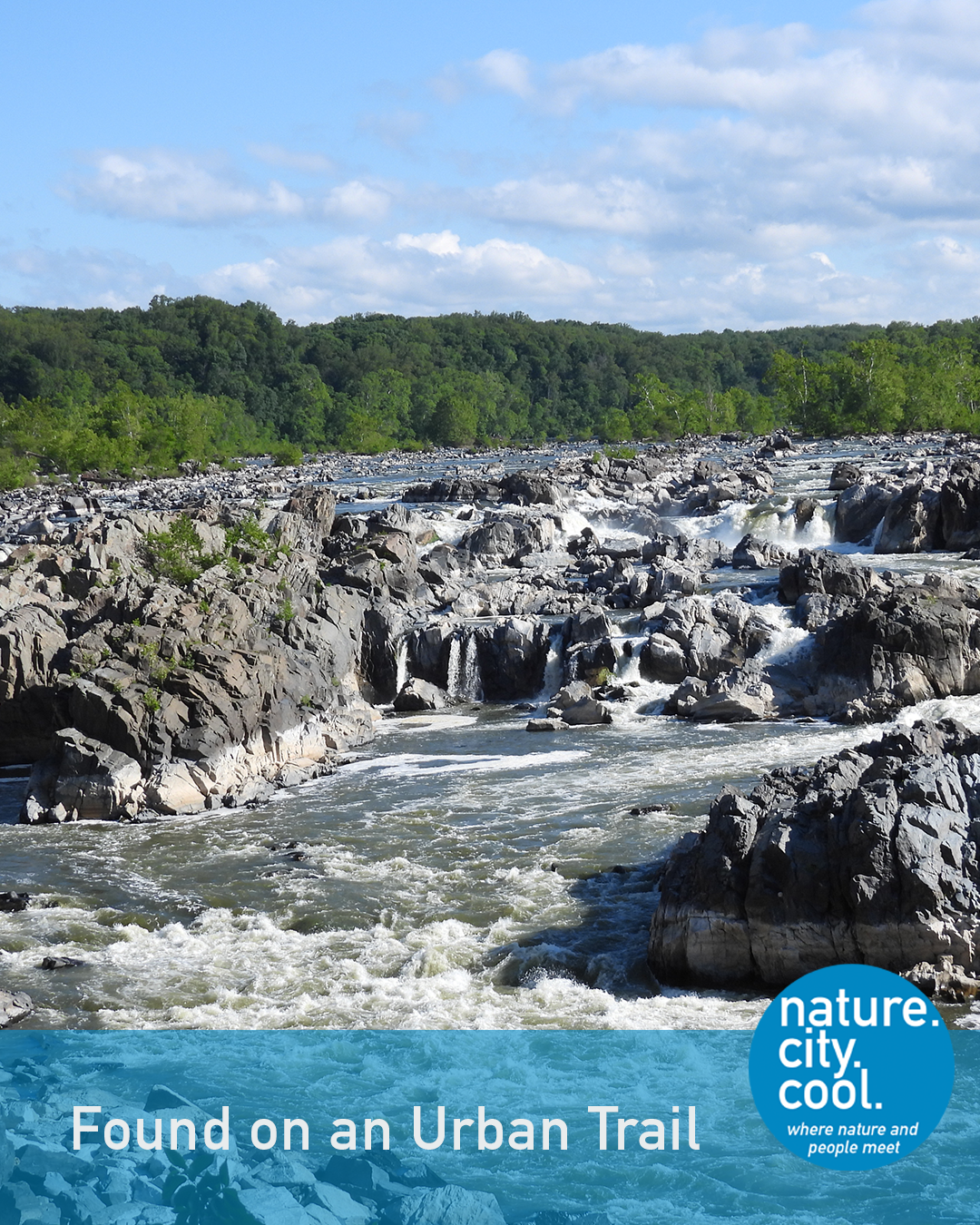
Rugged river rapids cascading through rocky channels with tree-lined banks under a blue sky.
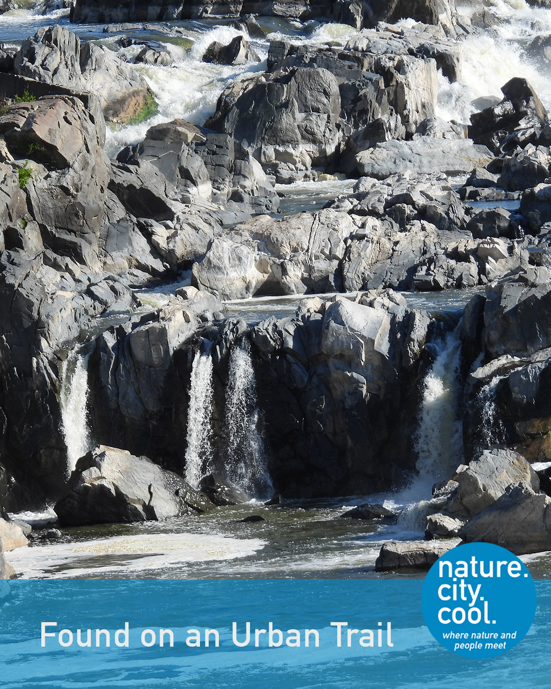
Rugged river gorge with several narrow waterfalls cascading over dark gray boulders.
To find this trail, start at the U.S. Capital and drive for about 45 minutes (or take the Metro Silver Line to Spring Hill station, then bike or rideshare). You will still be in the midst of a major metropolitan area. But you will be at a location with a history that extends back over 700 million years.
The Great Falls on the Potomac River are found where the hard, Precambrian rock of the Piedmont Plateau (about 730 million years old) meets softer and much younger rock of the Coastal Plain. The river cut these falls during the last Ice Age about 2 million years ago, when sea level fell nearly 500 feet as water from the oceans was frozen into giant ice sheets. These falls drop about 75 feet in roughly 2/3 of a mile. While not as massive as falls in other parts of the world, they are impressive for the ever-changing cascades and seasonal variety. It’s hard to believe that a place this wild is surrounded by the urban fabric of the region.
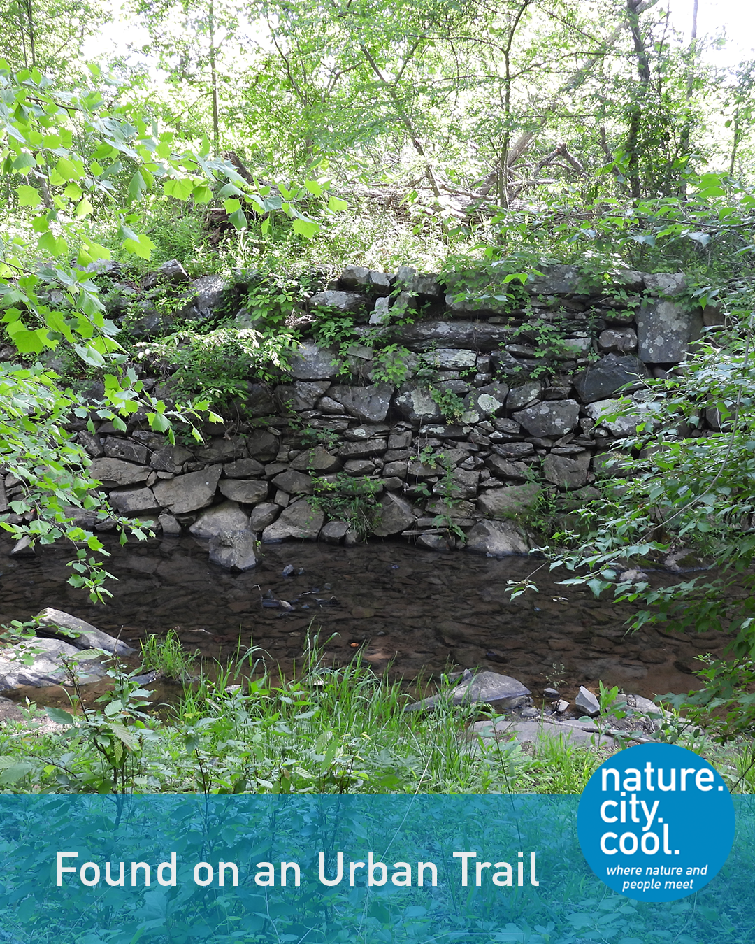
Stone retaining wall and shallow creek framed by dense green foliage along an urban trail.
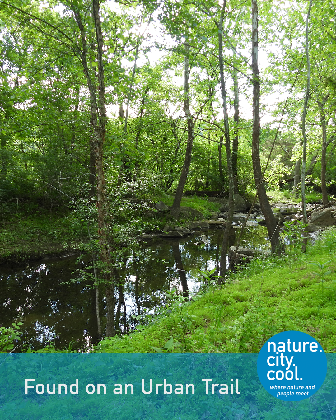
Shady creek winding through a green, tree-lined urban trail.
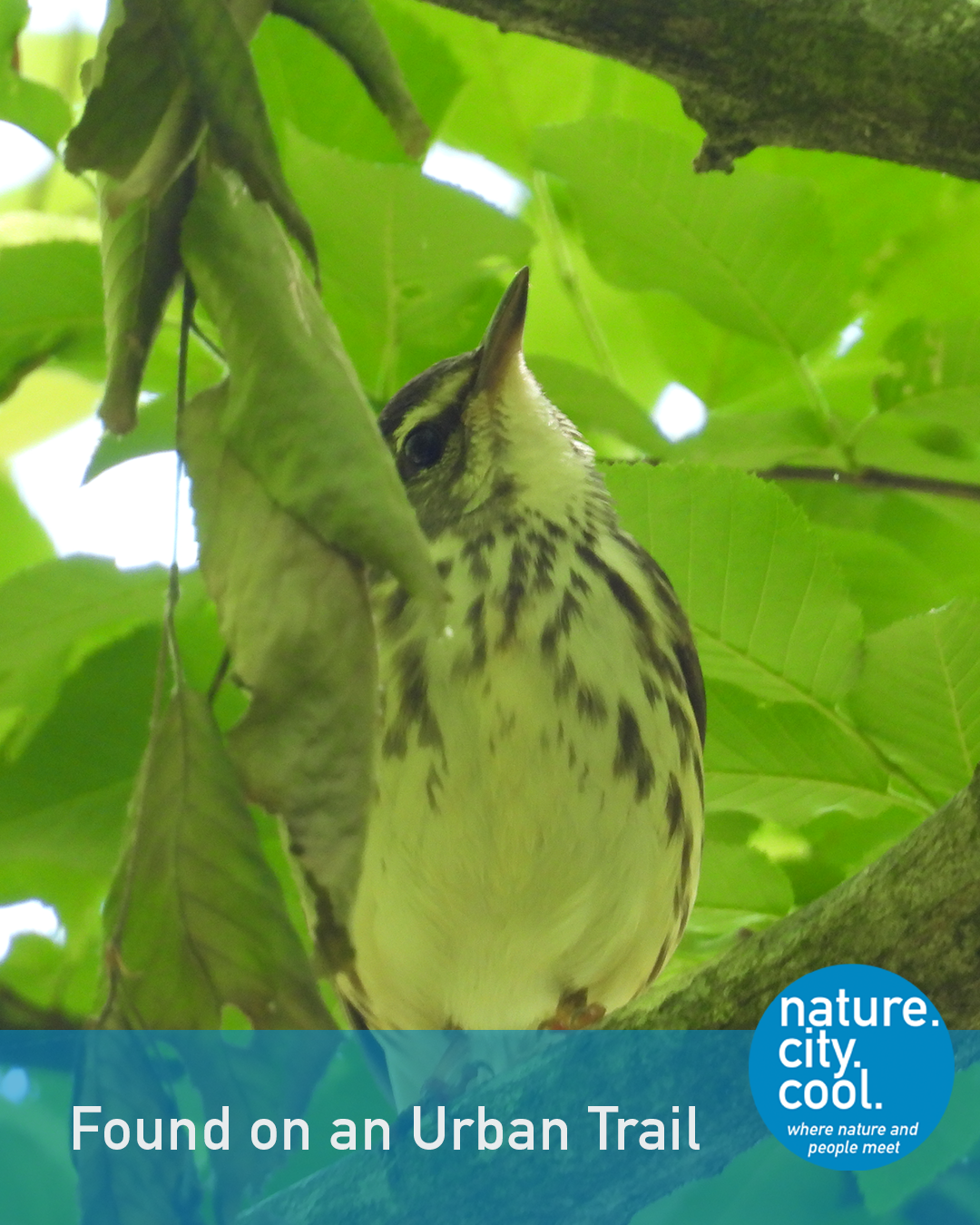
Northern Waterthrush perched on a shaded branch amid bright green leaves.
For Indigenous peoples, this was a place for ceremonies to honor the spirit of the “Roaring Waters.” Trade and transport have long been part of the story as well, both for Indigenous peoples and the Europeans who began arriving in the early 1600’s.
The site also shows the connection of political leadership and commerce in the expansion of the early United States. Boats could not traverse these falls. Beginning as a young surveyor, a future U.S. leader imagined a canal to allow travel around them. He became the President of the canal company in 1784 and led the construction of canals, locks and dams that allowed river boats to transport goods from the Appalachian valleys of Virginia to the cities and towns of Maryland and the coast. While canals were later overtaken by railroads as the preferred method for shipments, they played an important initial role in connecting commerce from the frontier to the eastern Seaboard and from there to international markets.

Check out the water pouring over these falls and the wildlife in the middle of a major metropolitan area.

Today’s series of parks and trails along the Potomac have replaced the transportation and industrial activity of the 1800’s with a restored natural corridor providing a habitat for nature and recreation to nearly a half million visitors per year.
This is the Patowmack Canal Trail.
Location: Great Falls National Park, Washington, D.C.
The Patowmack Canal Trail connects geologic history, indigenous history, early American commerce, and today’s natural corridor.
Can a trail change property values? Read how this trail made a difference.
Do you know which trail this is? Keep reading—the answer is at the end.
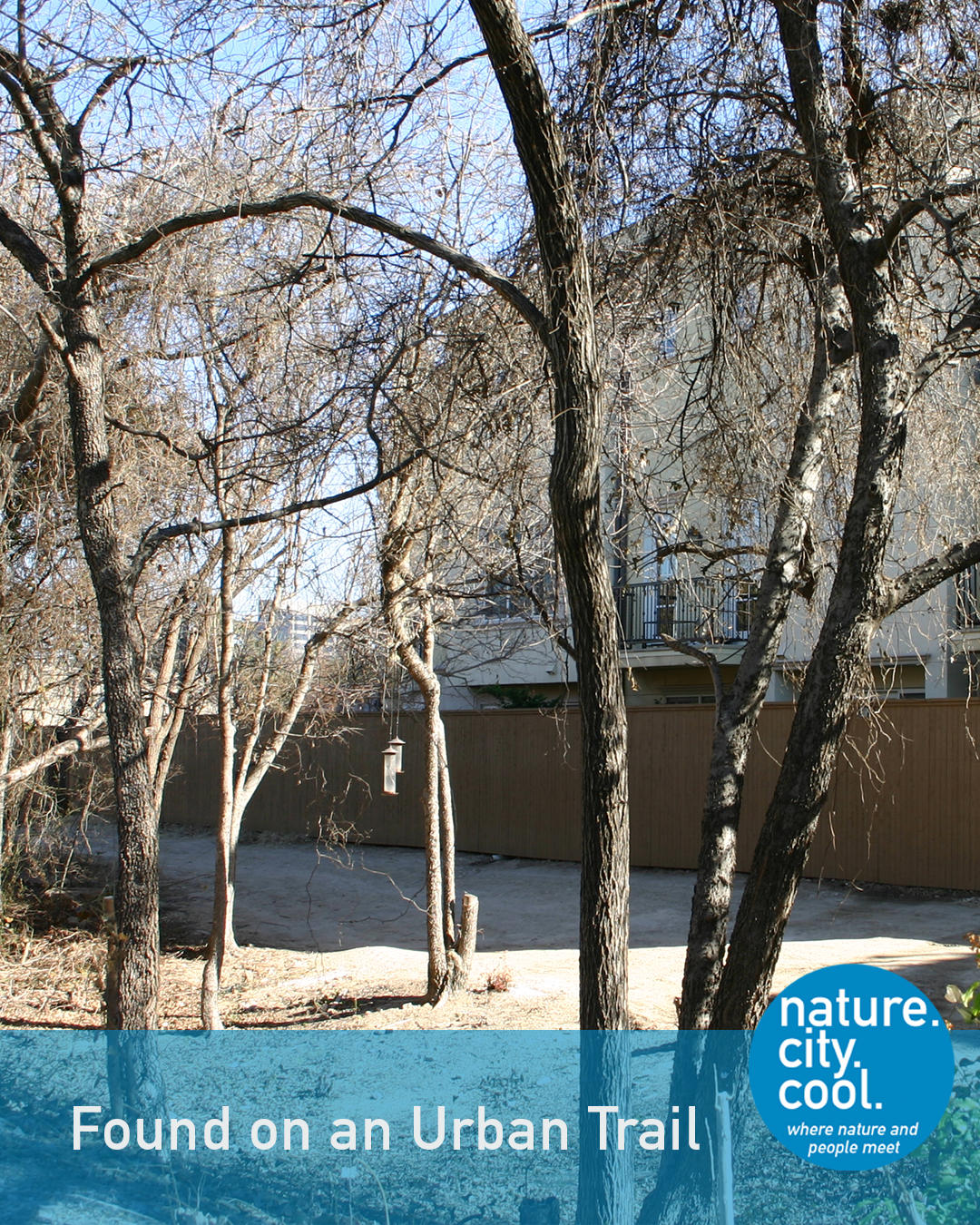
Overgrown and forgotten.
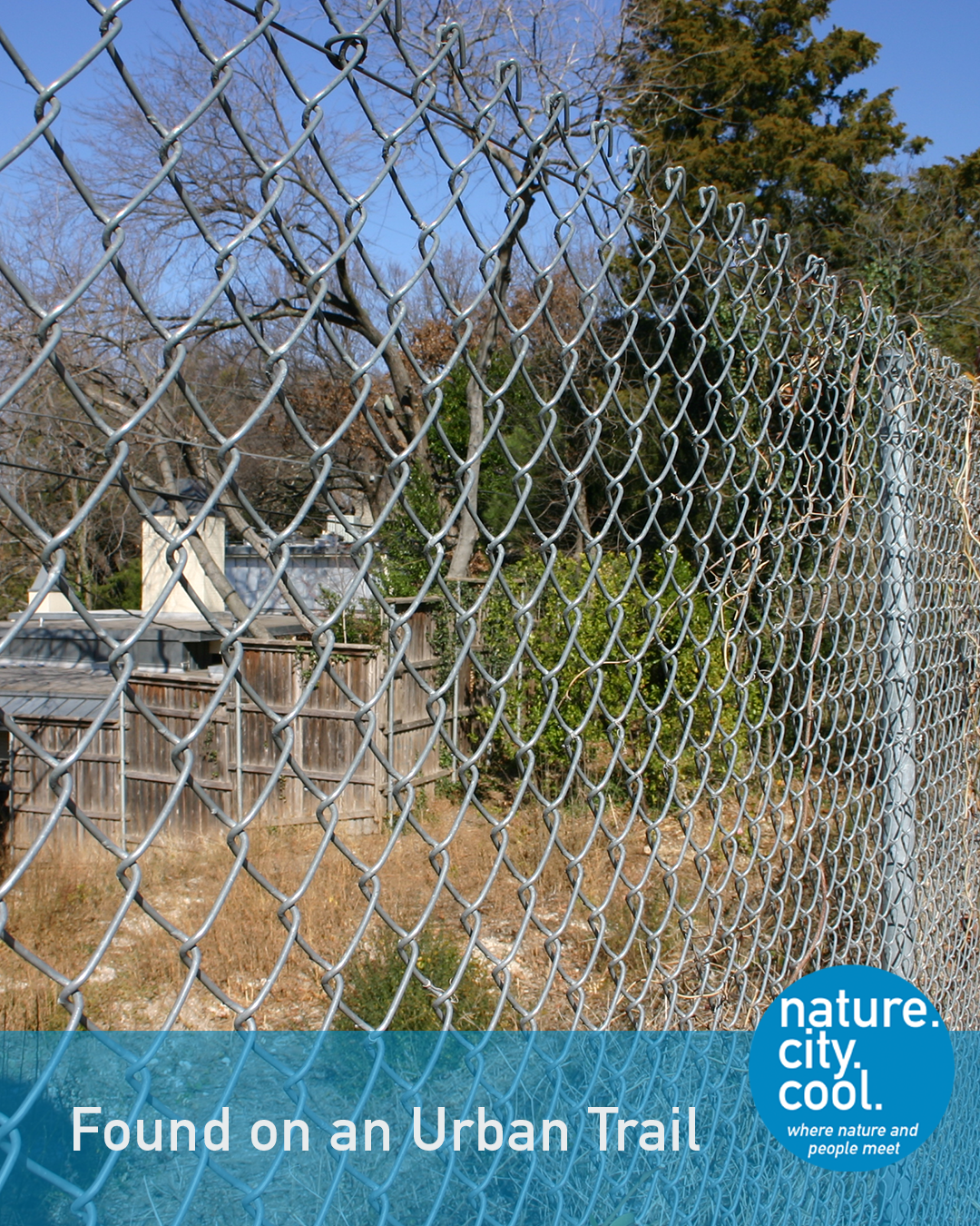
Disconnected.
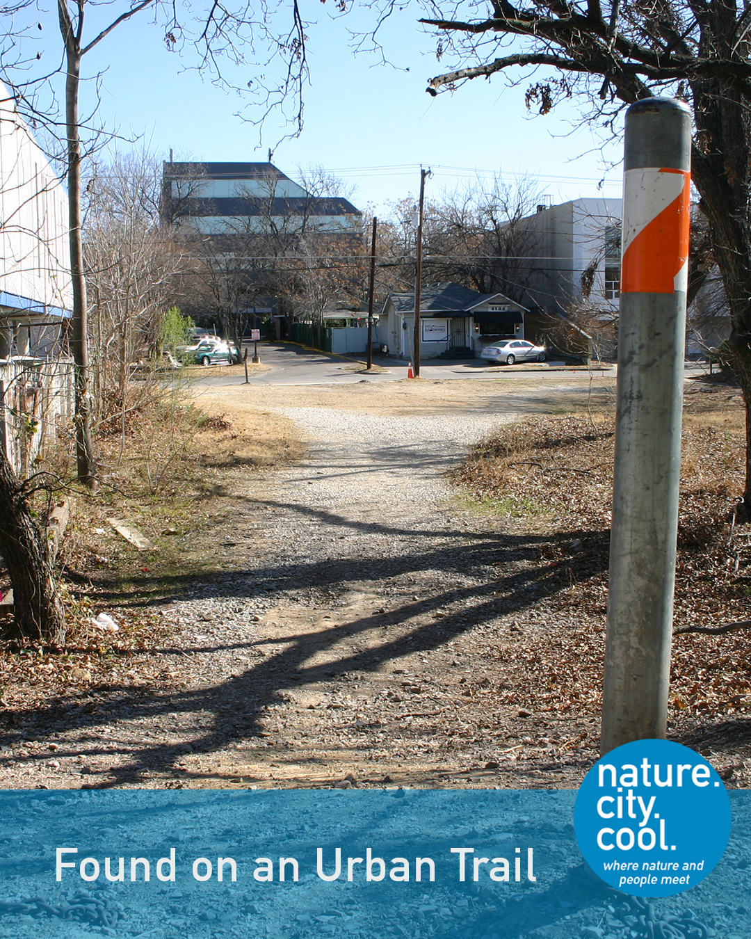
A right-of-way.
The Missouri, Kansas & Texas Railway (MKT) was incorporated in May 1870 in Junction City, Kansas. Among its lines was one that reached a major Texas city in 1886. This line connected the city to a transportation and trading network stretching to Houston, San Antonio, Fort Worth, Kansas City and St. Louis. It became known by a nickname that would later be associated with the trail.
After highways replaced rail as the dominant cargo carrier, many of these lines were abandoned. The abandoned right-of-way in Missouri became one of the first “rails-to-trails” conversions in the late 1980’s and early 1990’s.
When Strategic Community Solutions LLC became involved in planning in the area, there was discussion about using the abandoned tracks for a similar trail. Having experienced the success of the rails-to-trails conversion in Missouri, we championed the idea.
But there were different dynamics at work. In the community, most of the people along the route strongly opposed the idea. Residents of apartments that backed up to the right-of-way worried that a trail would lead to break-ins and crime. Commercial and residential property owners believed the trail would reduce their property values. Within the City’s organization, there were concerns too. Would this be a route for people to travel (on foot or by bike) to work? If so, it should be managed by the Transportation Department. Or was it just for families to enjoy on the weekends? In that case, the Parks Department should be in control.
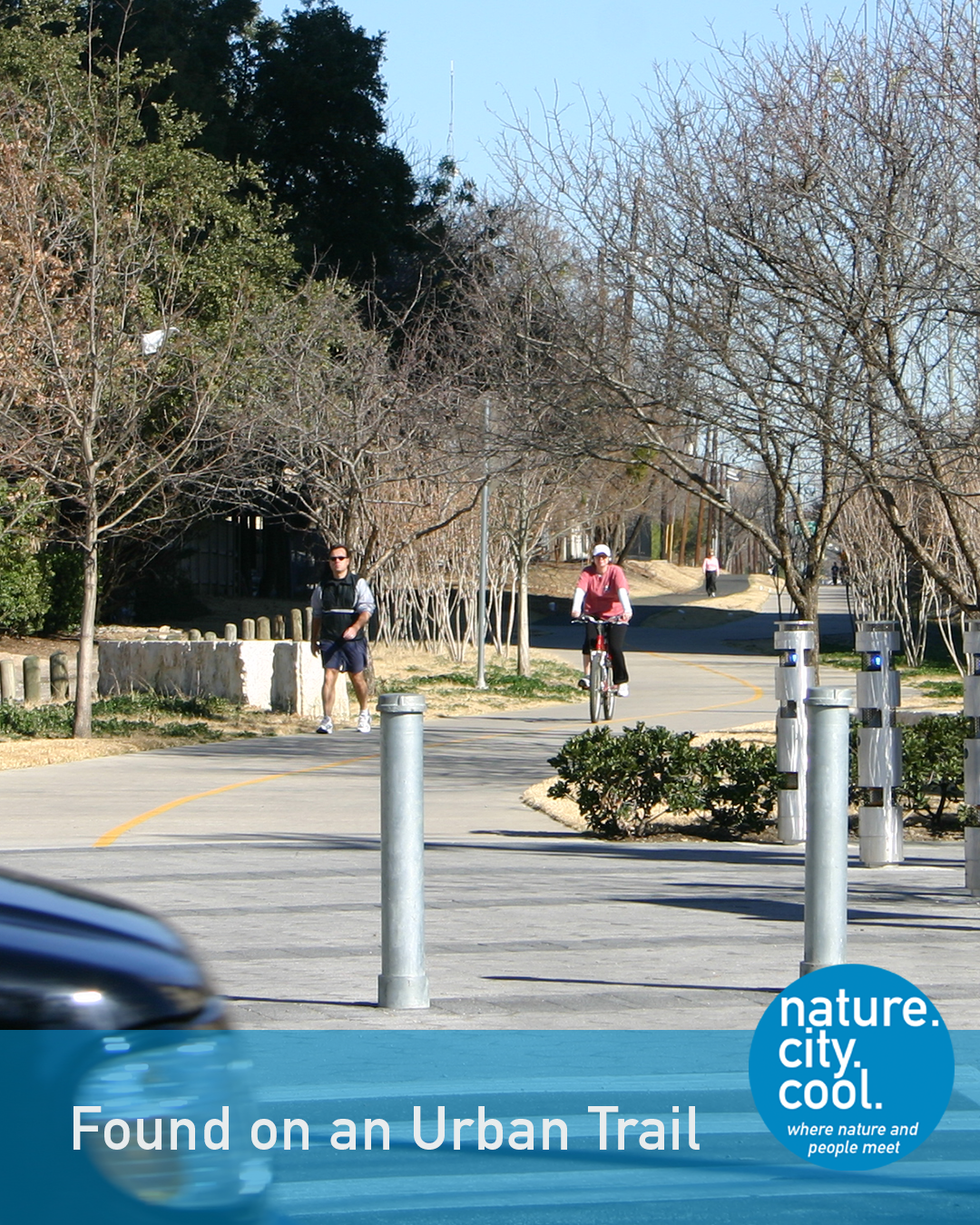
Reimagined.
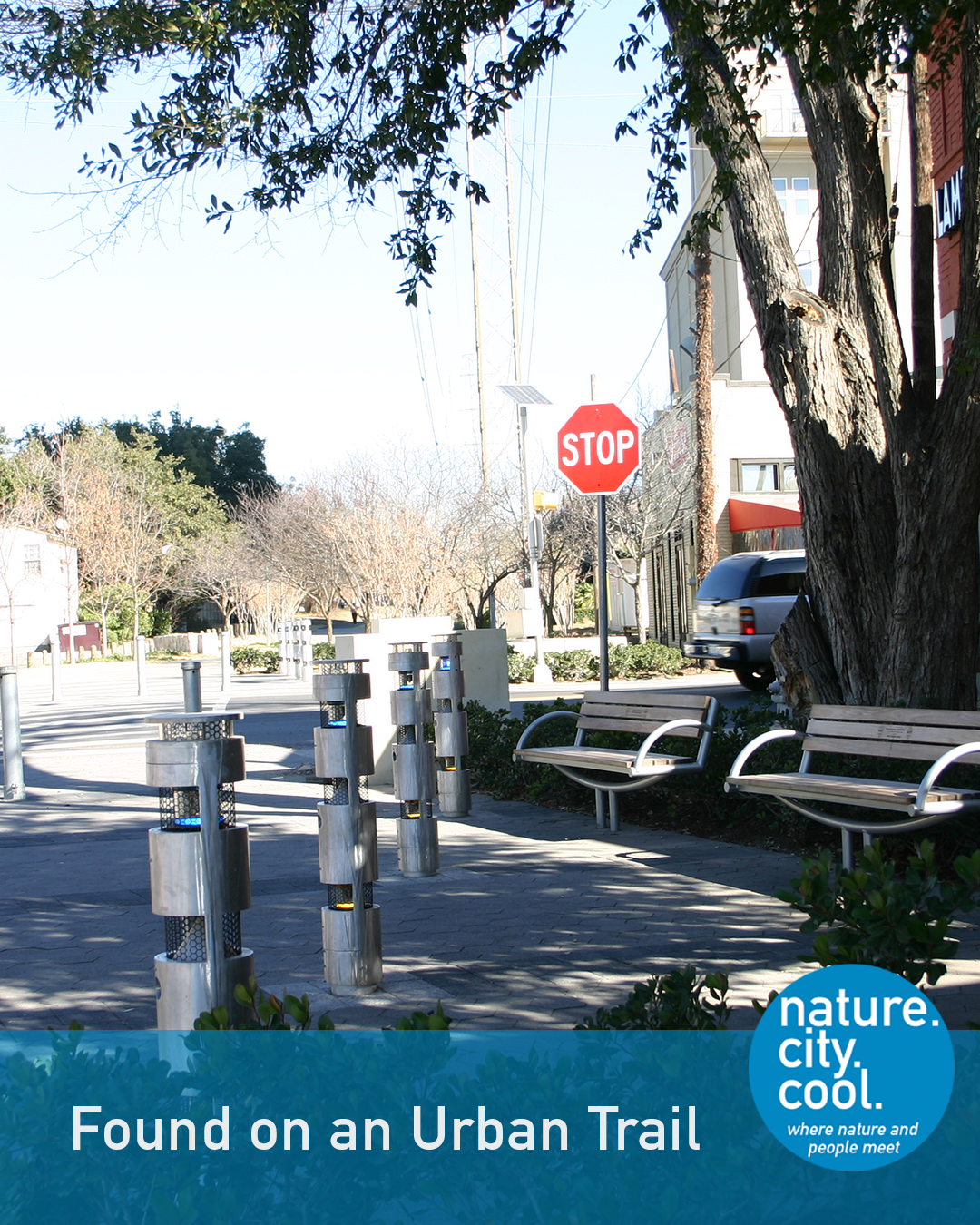
A new connection.
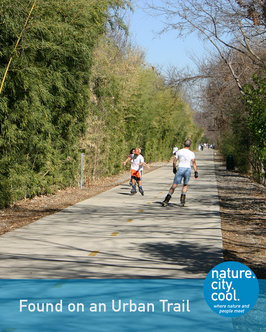
A community asset.
Luckily, community leaders and action found a way through the concern and confusion. Thanks in large part to a visionary architect, Philip Henderson FAIA, the Friends of the trail was created in 1997. With this non-profit leading private fund-raising and operations, the initial stretch of the trail was opened in 2000. The trail is operated as a City park and the Friends continue to provide operational and fund-raising support.
Today, the worries about declining real estate values and crime are laughable. Marketing for residential units trumpets their proximity to the trail and adjacent properties often have pedestrian gates for quick access. The route includes some of the most intensive and valuable mixed use developments in the city. It anchors more recent visions for much larger trail networks throughout the city and the region.
Among the many cool places and experiences along the trail, enjoy food and drink at the Katy Trail Ice House, 3127 Routh St, Dallas, TX 75201.

If a sustainable community provides access to nature and healthy exercise close to home, this trail has been a huge boon to a part of Dallas where few other open spaces existed. There are about 4 million visitors to the trail annually. The Trust for Public Land estimates that almost 44,000 people live within a 10-minute walk of the trail.
Sustainability can also mean that a developed community remains thriving, desirable and vital over time. Before this trail opened, much of the surrounding area was characterized by aging commercial and apartment uses. The changes in real estate values and community perception since the trail opened make it clear that this part of Dallas has enhanced its appeal over the past two decades. This trail has been instrumental in this transformation, which helps keep a critical central part of the North Texas urban region thriving and sustainable.
This is the Katy Trail.
Location: Dallas, Texas

Can a park solve an infrastructure problem? Did this trail succeed?
Can you figure out which trail this is? Keep reading—the answer is at the end.
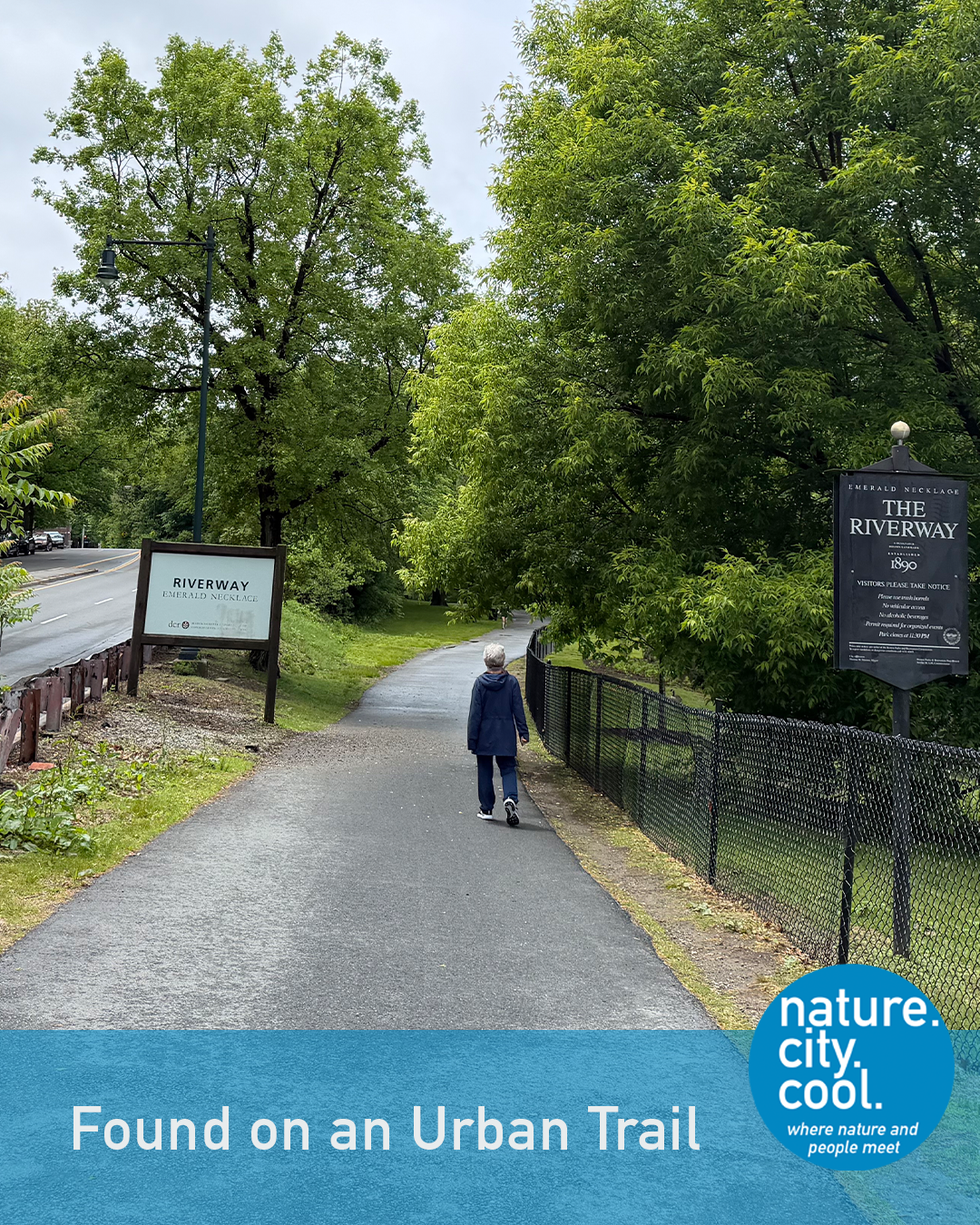
A green corridor woven into the city.
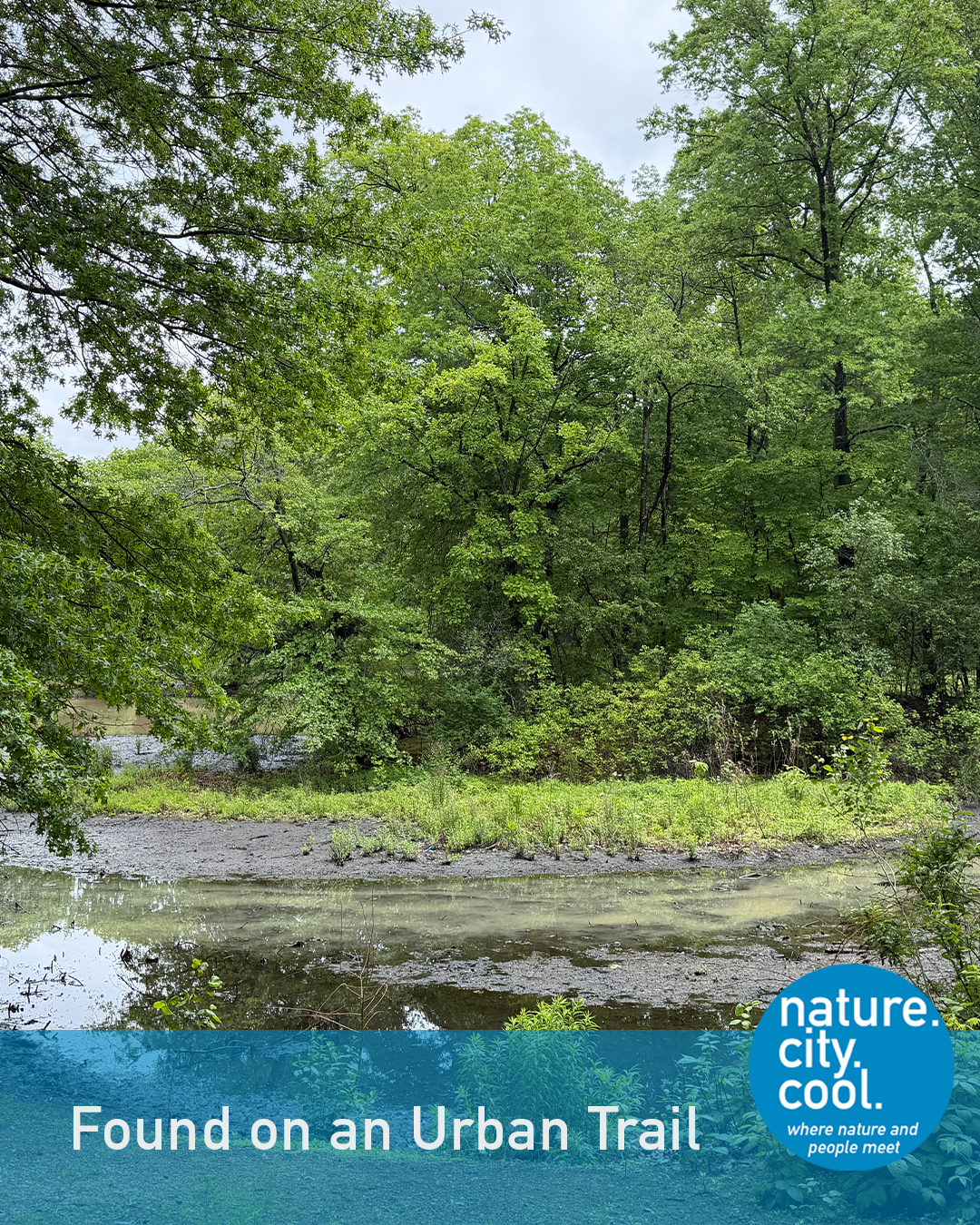
Waterways can be infrastructure, too.
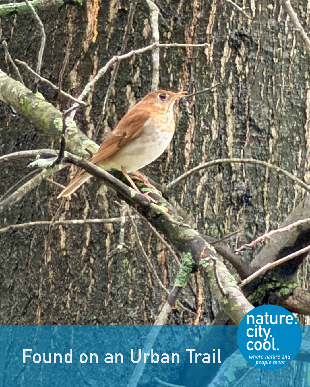
Nature returns where water finds its way.
Frederick Law Olmsted is widely recognized as the first landscape architect to design parks that embrace nature. Today this beloved park and trail system he created is known as the Emerald Necklace. It includes nine parks and over 1,100 acres of land – over half of city’s park acreage.
The trail we’re exploring is located in an area that was salt marsh before colonists began filling in portions of the bay for development. When Olmsted became involved, in the late 1870’s, the area included tidal marshes, streams and drainage discharge basins (which in those days also meant sewage discharge). Olmsted and his firm developed a design that placed a priority on solving the sanitation, drainage and flood control issues, restored the salt marsh and then also included parkland and paths for people, horses and vehicles. It was established as a park in 1879.
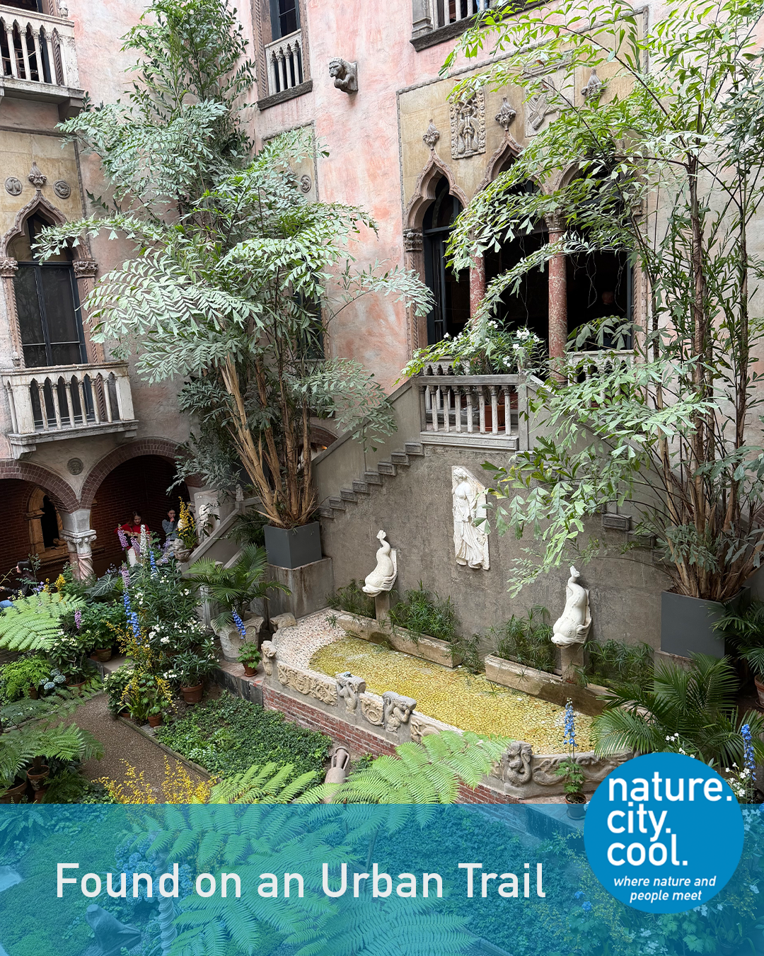
Art, culture and nature meet here.
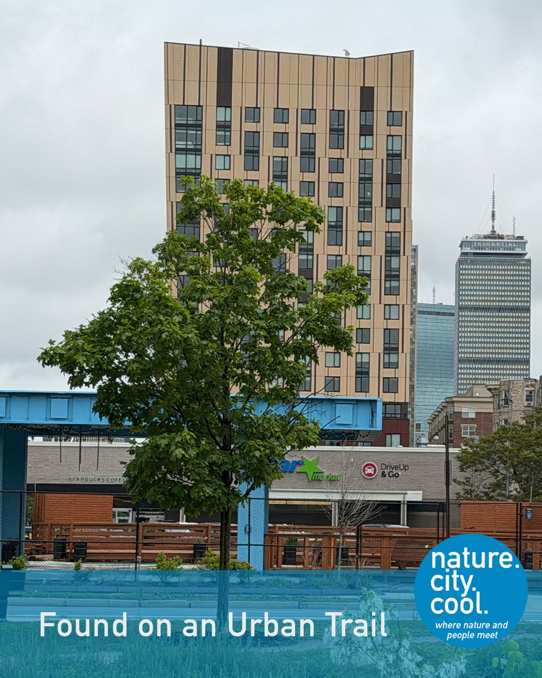
A park connects people to the city around it.
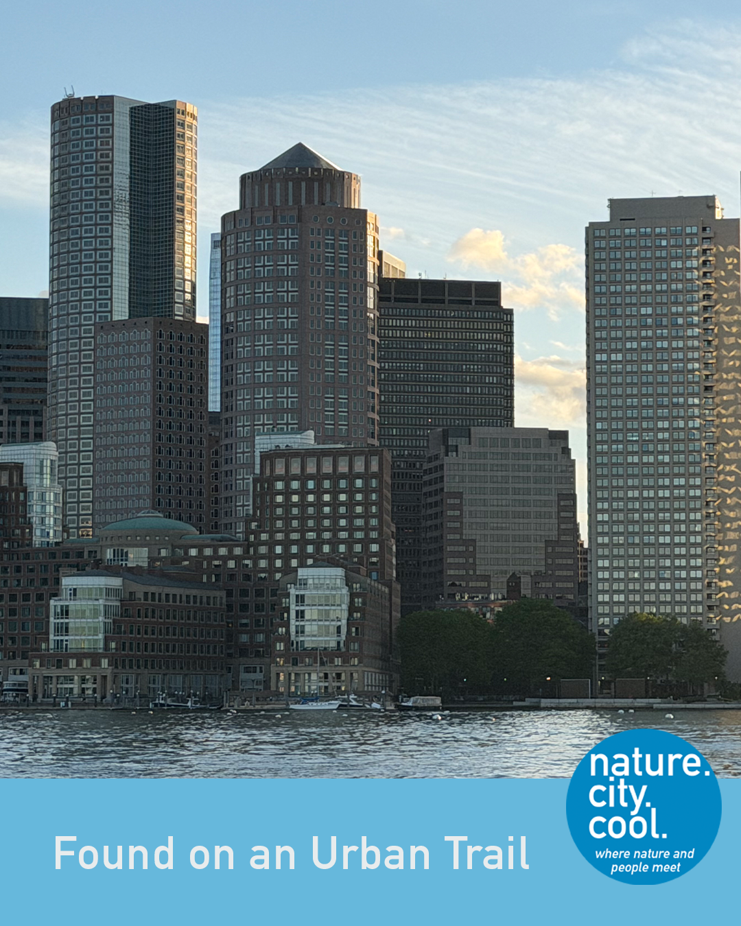
A green landscape within a dense urban setting.
Many things have changed these original designs over time, including damming of the Charles River in 1910. Today the park includes waterways, trails and a variety of recreational amenities. It winds through an area with many major cultural institutions, notable universities and a famous baseball stadium. More than one million people visit this and the other Emerald Necklace parks each year.
A favorite institution here is the Isabella Stewart Gardner Museum. It houses the amazing art collection of a woman who was a leading collector and philanthropist in the late 19th and early 20th centuries. She collected pieces worldwide and they are still displayed according to her unique instructions.
And the famous baseball stadium? Fenway Park.
As the Olmsted Network explains on its website, “The Emerald Necklace is one of the nation’s earliest examples of green infrastructure— using organic materials such as stone, earth and plants to help absorb water and filter pollutants. This innovative, interconnected system of waterways and parkland not only improved the sanitation of a rapidly-expanding Boston but also formed a linked series of parks, allowing residents to enjoy a once-polluted and unwelcoming part of their city.”
Today, the City of Boston works to manage its environment in response to climate change and other concerns. A new Boston Wetlands Ordinance was passed in 2019 that gives the City’s Conservation Commission the ability to review plans in waterfront and riverfront areas for impacts on public health and safety, the environment and climate change.
This is the Back Bay Fens Trail.
Location: Boston, Massachusetts

Can environmental restoration become a community asset? Read how this trail answers the question.
Can you figure out which trail this is? Keep reading—the answer is at the end.
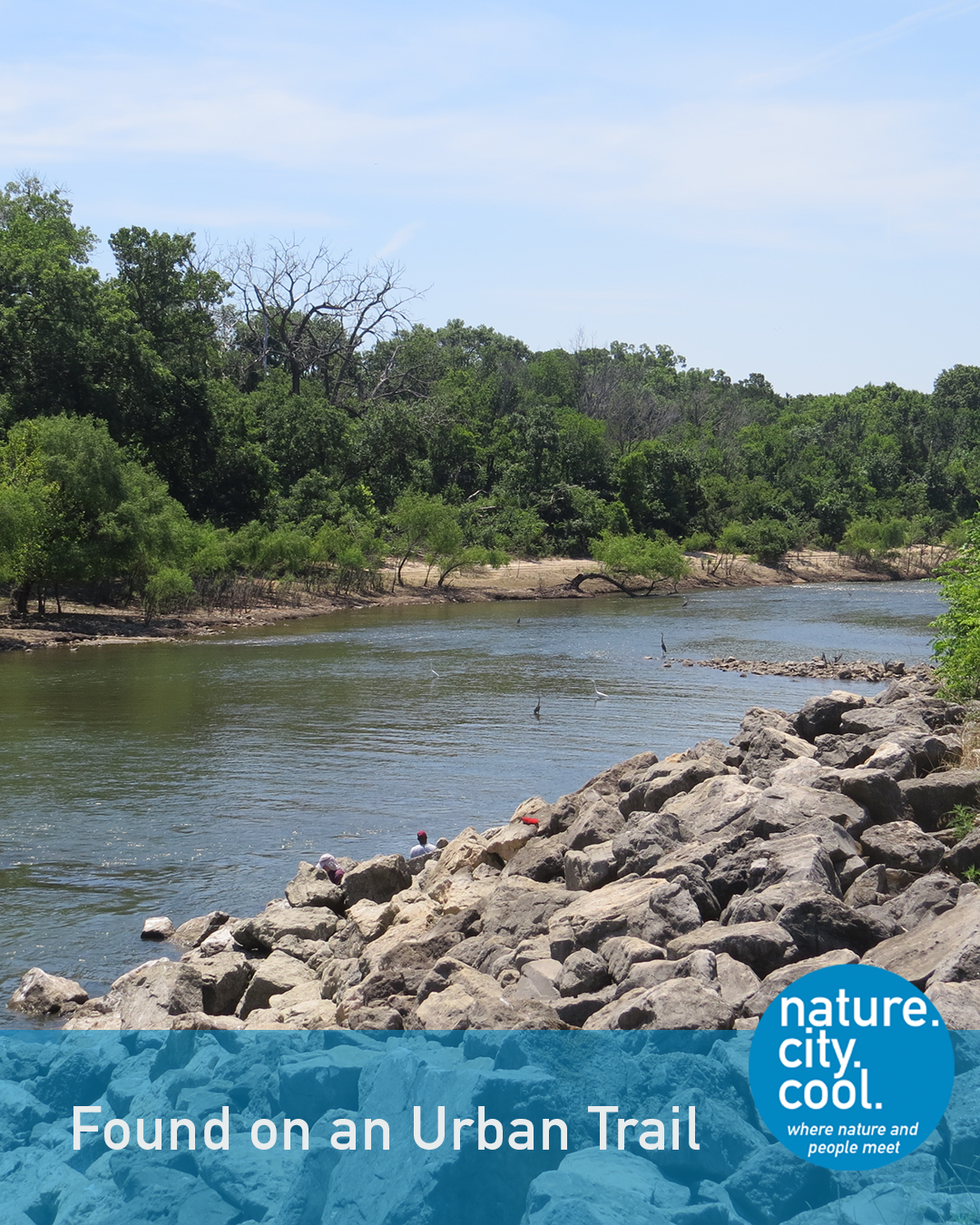
A river corridor reclaimed by nature.
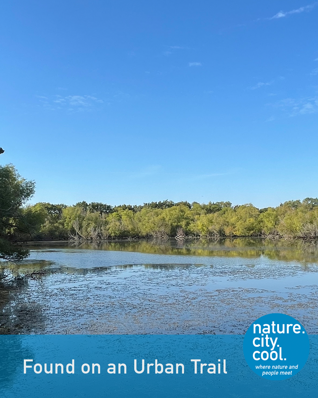
Dam across the Elm Fork of the Trinity River.
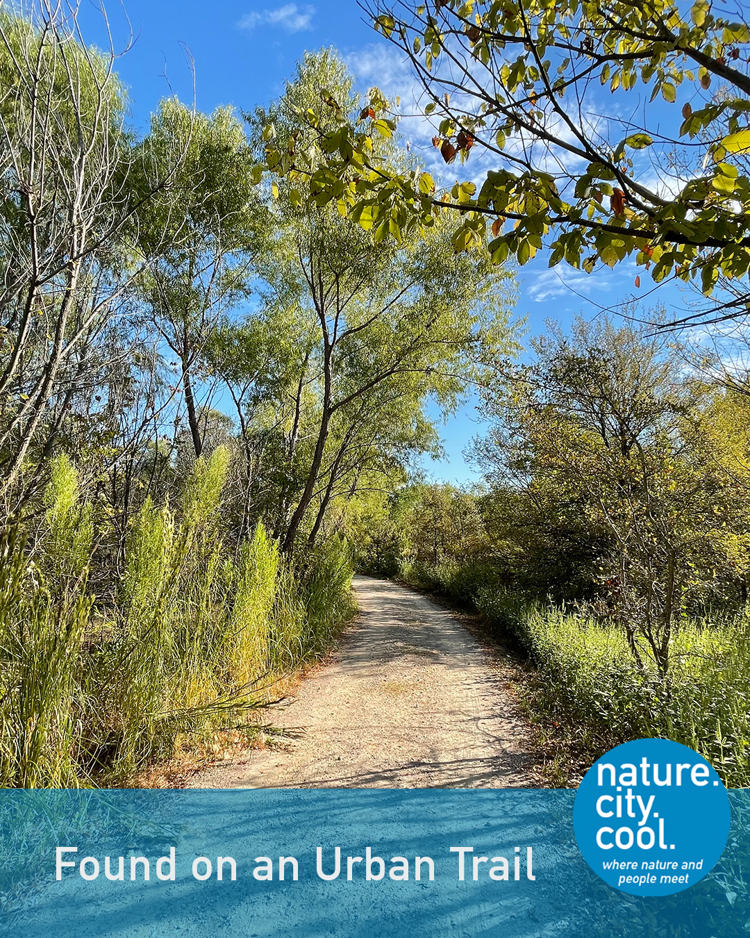
A trail through an urban wilderness.
The area of this trail, lake, and environmental learning area has been greatly modified by human action. It is located where the Blackland Prairie and the Eastern Cross Timbers (two major ecological regions) intersect.
When the U.S. Army Corps of Engineers created the lake in 1955, they built a large dam across the Elm Fork of the Trinity River. An area of about 2,600 acres below the dam was designated for flood control, acquired and left open. As natural systems reclaimed the area, people recognized its value for both recreation and research. In the 1990’s a partnership established this environmental learning area as a site for education and research.
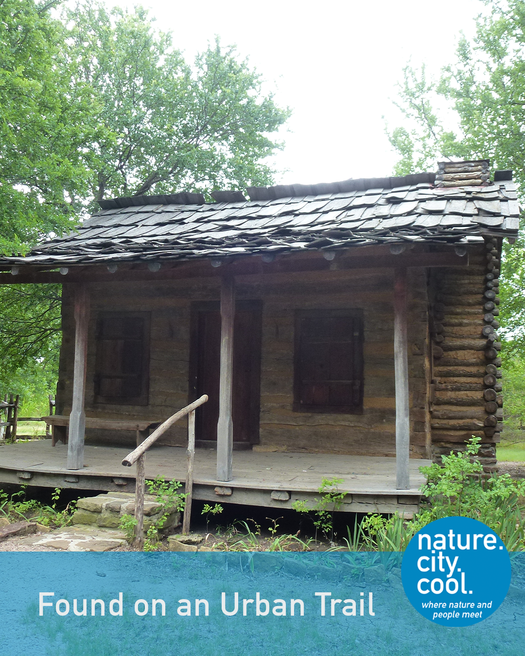
History preserved within a natural setting.
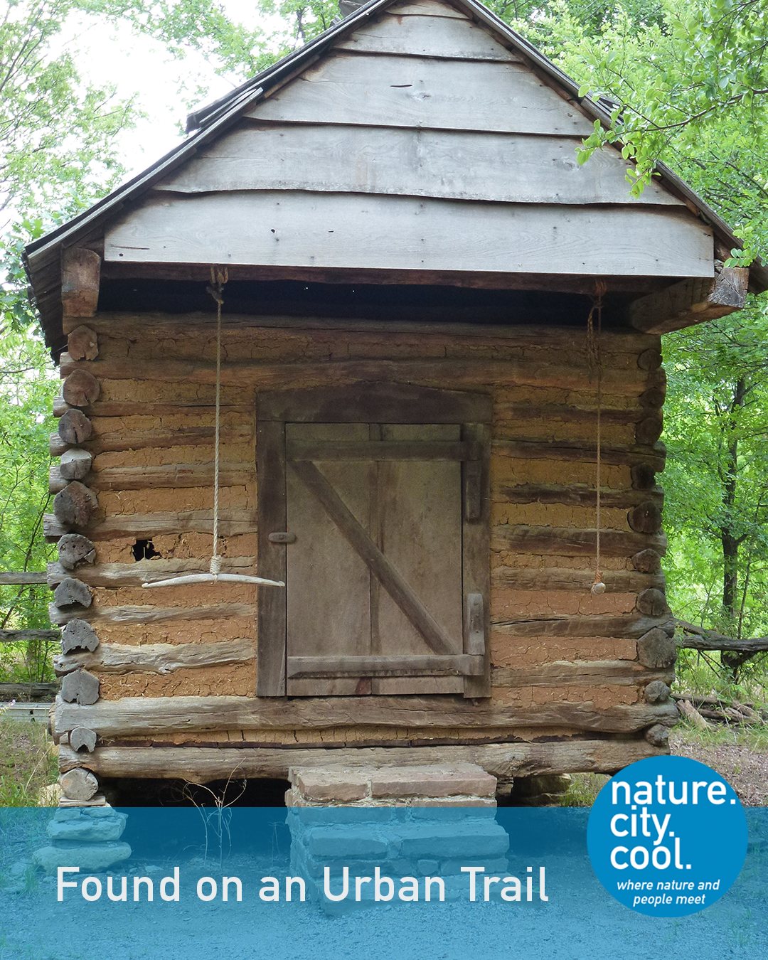
A historic place becomes a trail destination.
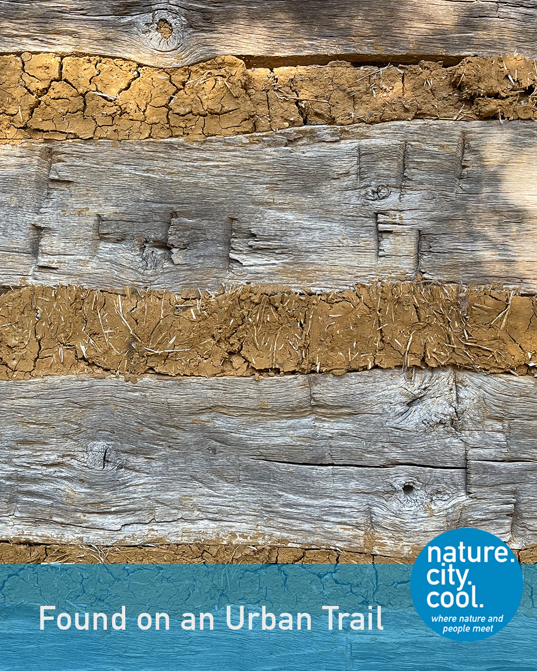
Hand-built history, preserved for today.
With the adoption of the City’s 2025 Vision Plan in 2014, the environmental learning area became the central part of that plan’s “Green Centerpiece” and a major priority for the City. The partnership was updated and a new Master Strategy was adopted by the partners (the City, the university, and the independent school district with approval from and in cooperation with the U.S. Army Corps of Engineers).
Today, the environmental learning area is managed as part of the City’s parks system and is supported by a non-profit Friends organization. There are over eight miles of trails at the site, including paddling trails. The local independent school district operates its Outdoor Learning Area on 84 adjacent acres. The university has expanded and enhanced its activities through a new Advanced Environmental Research Institute.
This trail leads visitors to the Pioneer Homestead area. Its central building is the Minor-Porter Log House. Built in 1869, it was donated to the City and relocated to LLELA in 2005. It is an excellent example of a log cabin home in Texas in the 1800’s and is furnished in period style. The Log House and other structures are a cool destination on this trail.
The City of Lewisville’s Green Centerpiece has changed the way this community views its natural areas. As an urban wilderness, the area offers opportunities for connection with nature close to home. Educational programs and projects like the pocket prairie/pollinator garden support native plants, animals and ecosystems.
The University of North Texas’s AERI is an “Institute of Research Excellence” focused on finding solutions to pressing environmental problems. Research topics are as varied as biodiversity and aquatic toxicology, addressing many issues that are key to sustainability.
This is the Cottonwood Trail.
Location: Lewisville Lake Environmental Learning Area (LLELA), Lewisville, Texas

Can a forest become part of a city’s infrastructure? Read how this trail connects people with an urban hardwood forest.
Do you know which trail this is? Keep reading—the answer is at the end.
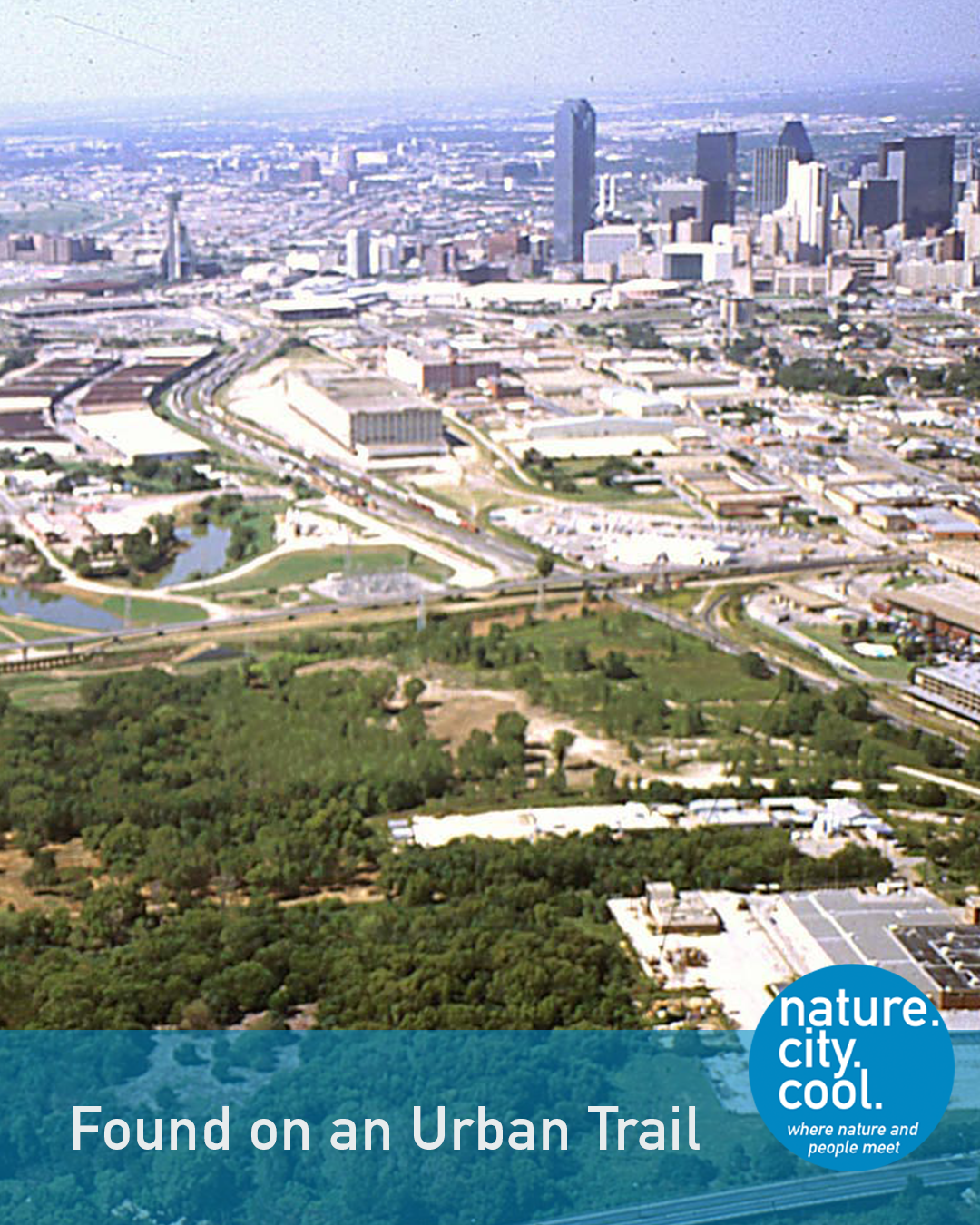
A forest grows alongside a major city.
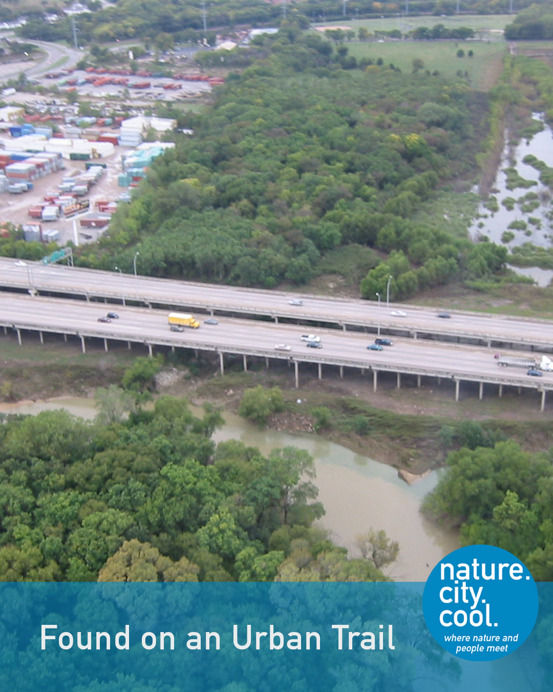
Where river, forest and infrastructure meet.
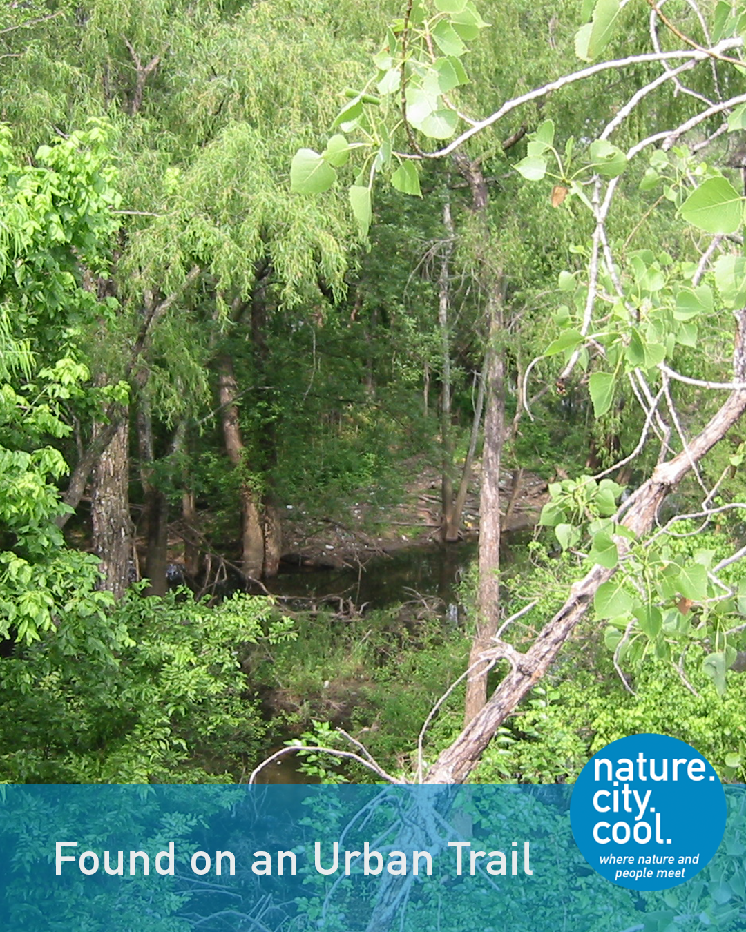
An urban forest shaped by nature.
The Trinity River is the longest river with a basin completely within the state of Texas. It has been a route for trading, fishing and traveling since the days of the Caddo and other Indigenous nations. In the 1700’s and 1800’s, the nomadic Penatuhkah Comanche lived in the northern and central areas of current-day Texas. Their marker trees, showing travel routes, have been identified along its course. The Trinity basin was farmed extensively in the early 20th century, with cotton a major agricultural product.
In response to flooding, levees were constructed beginning in the 1930’s. These levees protected the industrial, downtown and neighborhood areas of a major Texas city. The largely minority neighborhoods in the southern part of the city were not protected. Where the levees ended, the river flooded neighborhoods and former cotton fields. Over time, natural vegetation took hold in those fields. By the 1990’s an extensive forest had grown in the floodplain downstream from the levees.
Environmentalists recognized its value and began advocating for its preservation. They were opposed by others in the community who were more concerned about flood control, transportation and industrial growth.
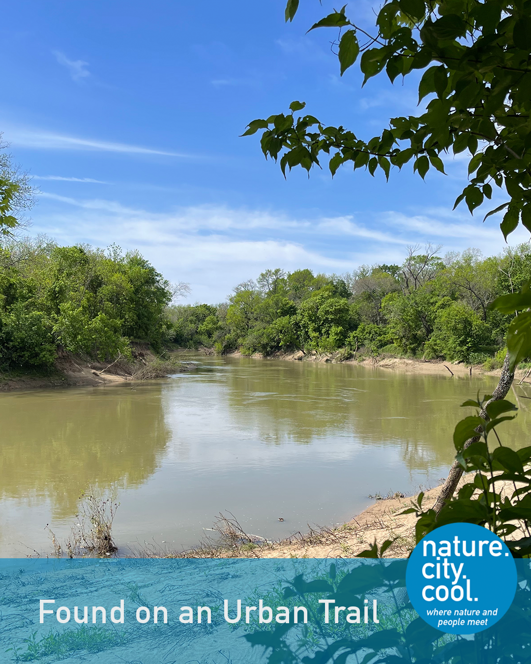
Nature along the river’s edge.
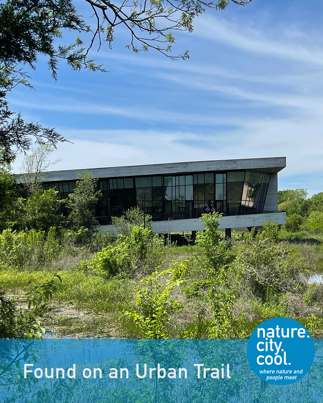
A place for learning, conservation and connection.
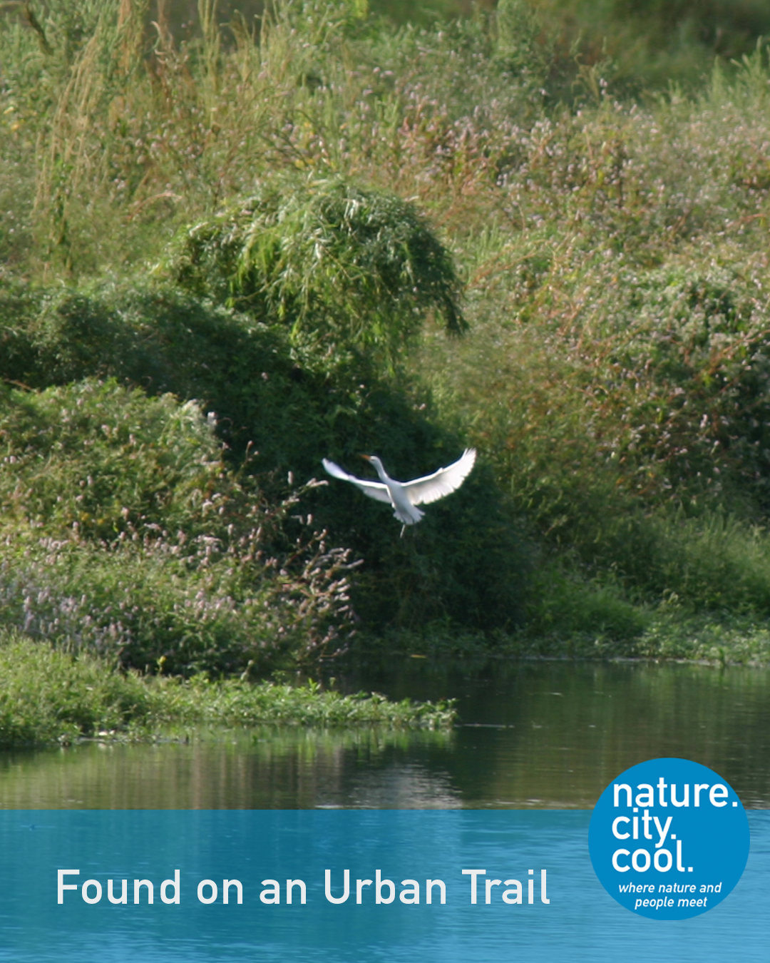
Wildlife finds habitat in the urban forest.
When the city adopted its comprehensive plan in 1994, the Trinity River Corridor was identified as one of the six major Strategic Initiatives. The plan envisioned a future where the interests of multiple competing perspectives could be balanced. Following the plan’s adoption, a large citizens’ committee was formed to recommend action for the Trinity. Among those recommendations was the designation of this area as the “Great Trinity Forest.” After much debate, this name was adopted and the forest became one of the central concerns of the environmental aspects of planning for the Trinity River Corridor Project.
The term recognizes that this is a 6,000 acre area of urban hardwood forest, the largest in the country. Trails now extend through this forested area and to other destinations along the Trinity River, totaling over 15 miles.
One trailhead for the trail is near the Trinity River Audubon Center. This building, designed by famed architect Antoine Predock and built on a reclaimed illegal landfill, serves as the main educational and interpretive center for the Trinity River in Dallas. Owned by the City of Dallas and managed by Audubon Texas, it has educational activities year-round as well as fund-raisers such as the annual “Songbird Supper” served in the restored prairie.
The Trinity River Audubon Center is certified LEED Gold. The trails bring nature, recreation and fitness to the daily lives of people in nearby neighborhoods and around the region. The Audubon Center and management of the forest reflect an increased appreciation and understanding of the role of nature and sustainability in a major urban area.
This is the Trinity Forest Trail.
Location: Dallas, Texas

Can a trail repair a city divided by infrastructure? Read how this trail reconnects people with places that infrastructure once separated.
Do you know which trail this is? Keep reading—the answer is at the end.
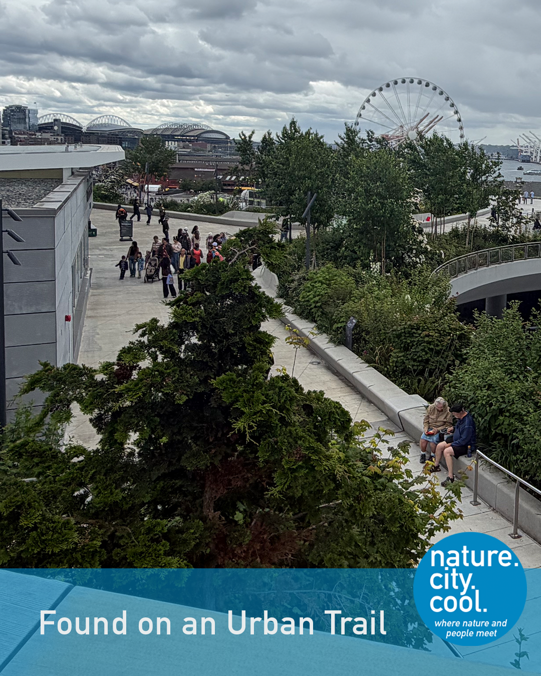
A new connection between city and water.
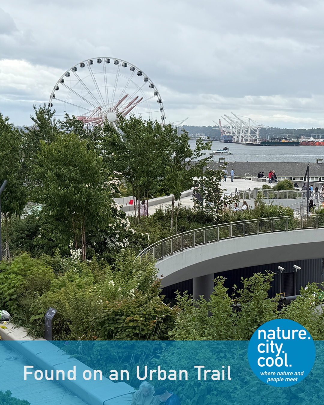
Infrastructure reconnects people with the waterfront.
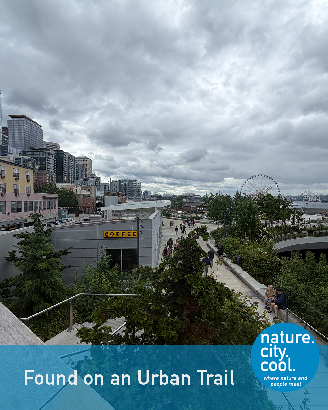
A walkable connection across changing elevations.
Founded in 1907, Pike Place Market is the oldest continuously operating farmers market in the U.S. About 10 million people visit it annually.
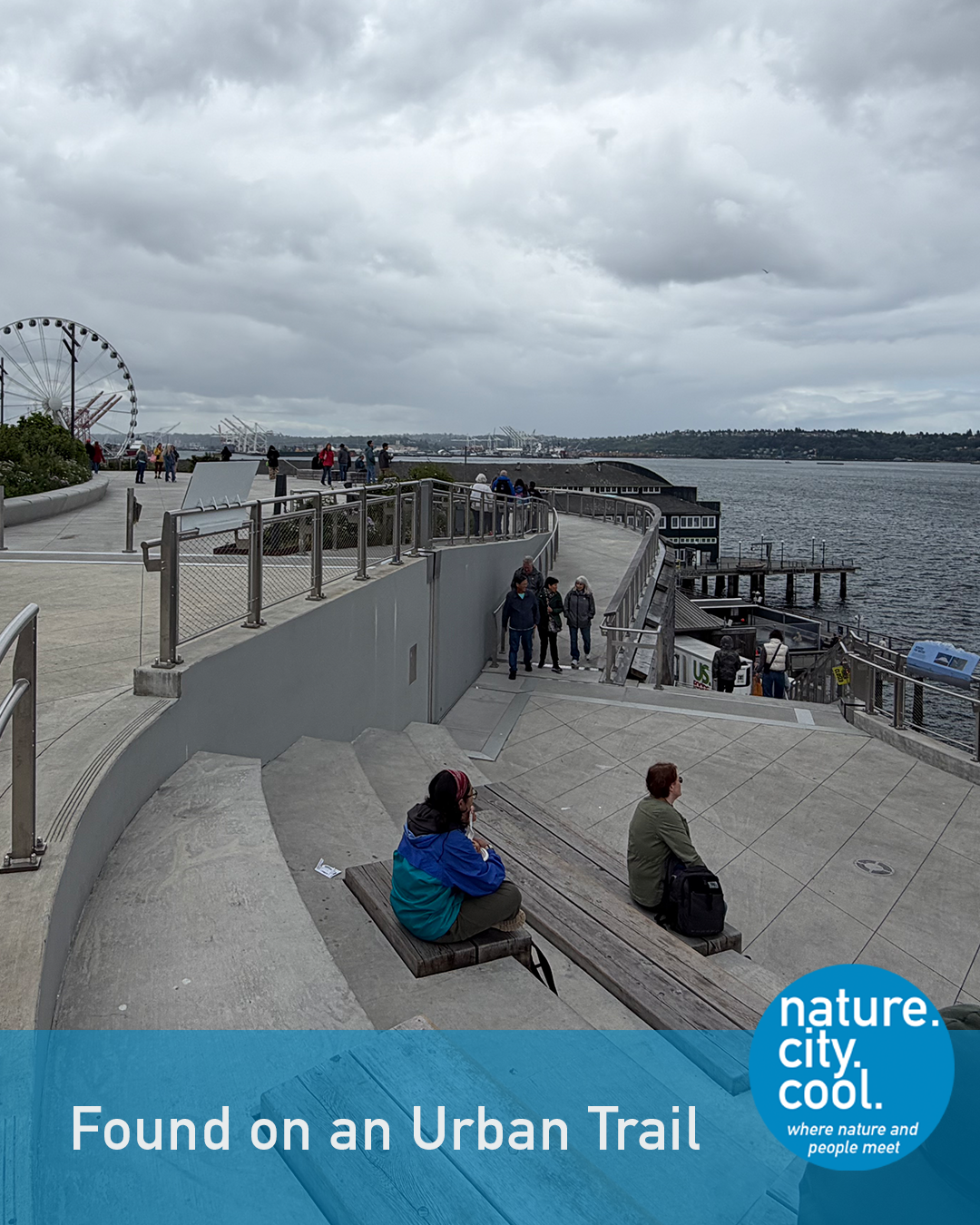
Public space opens toward the water.
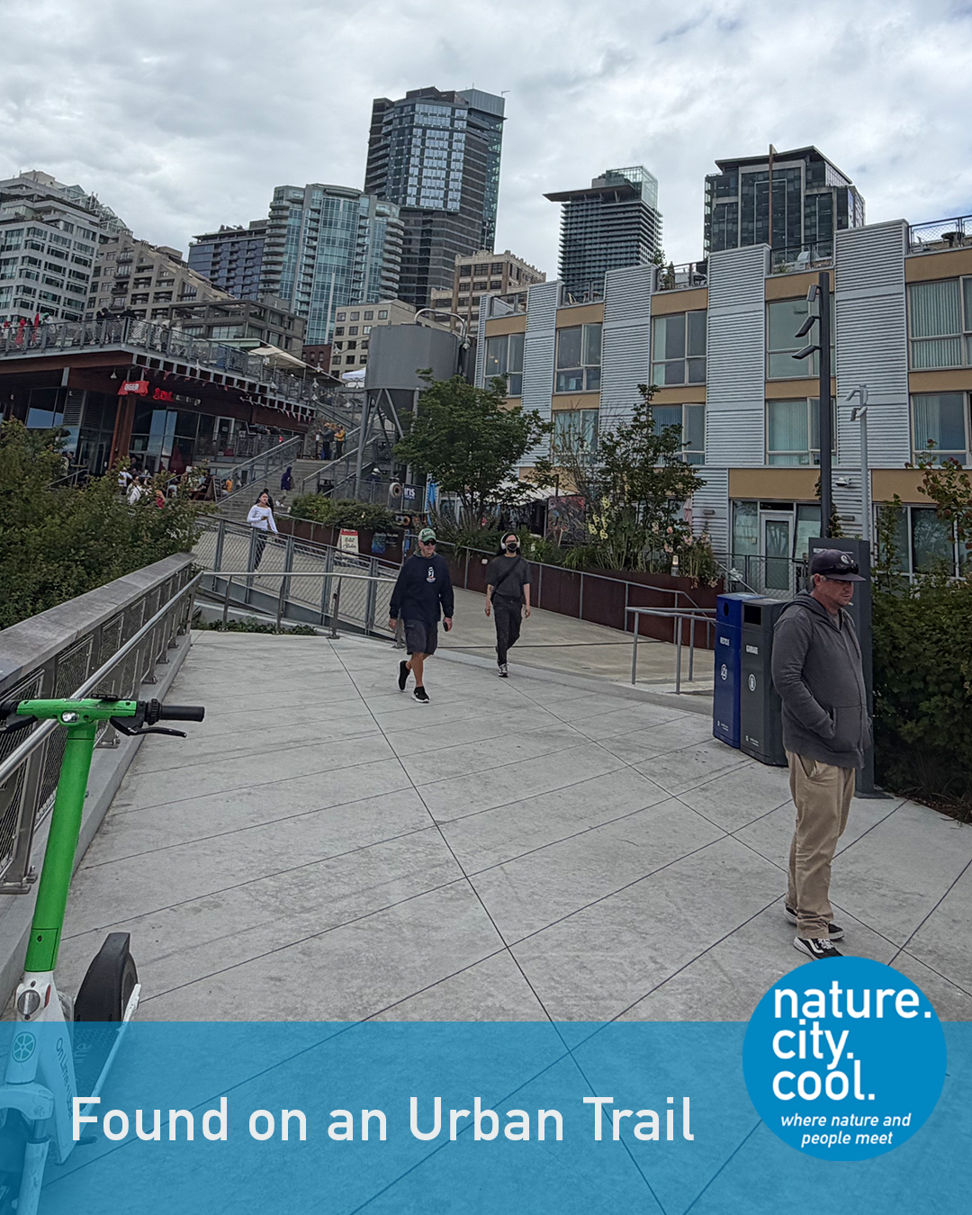
A path reconnecting people, places and activity.
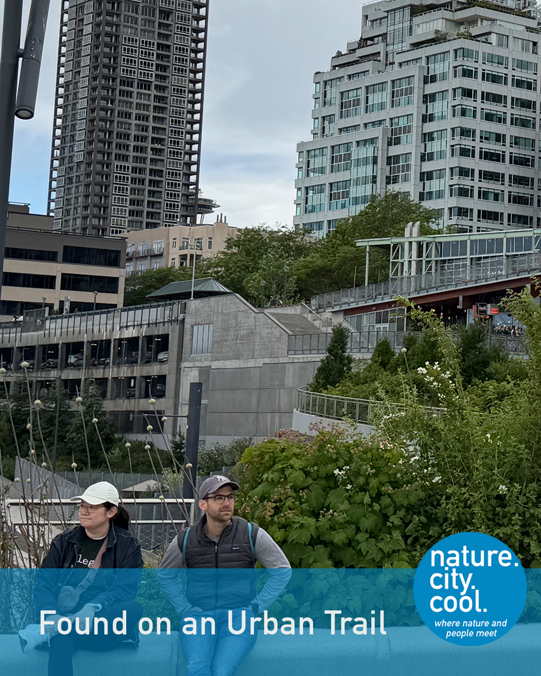
Nature and the city meet along the new waterfront.
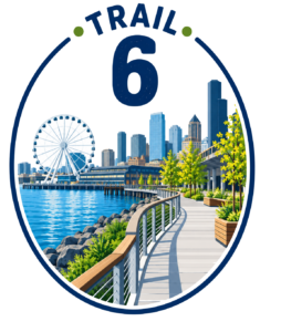
Go behind the market towards Elliot Bay and you will find the latest addition to the waterfront in the Emerald City. Part of the project to reconnect the city and its waterfront following the removal of an elevated highway, the trail makes the connection from the level of the market down to the lower elevation of the piers and an aquarium.
It connects people, businesses, entertainment and nature in a way that is beautiful, practical and engaging. Additional trails, walkways and public spaces continue south to a historic neighborhood and north to another downtown neighborhood.
The design and art of the Overlook Walk (and the other Waterfront projects) build on the area’s traditions and history. One example is the landscape design, which is based on plants used by Indigenous communities for food, shelter, art and medicine. Interpretive signage explains the significance of the plants. A second piece of art and its interpretation show where the original waterfront shoreline and Flounder Lagoon once were.
The many entities involved with this project were focused on making the project sustainable and that attention is found in large and small ways. The waterfront’s design uses a variety of green infrastructure design techniques to manage stormwater. An estimated 7.5 million gallons of stormwater annually are treated through biofiltration.
On a smaller scale, changes to the aging seawall near the Aquarium help young salmon to successfully navigate their journey from the Duwamish River through Puget Sound and to the ocean.
This is the Overlook Walk.
Location: Seattle, Washington

We hope you have enjoyed learning about these six trails that connect people to nature, history, culture and community—and that you’ll look at the trails in your own community with new eyes. After all, trails are connections. But who and what they connect can surprise you.
Keep following us on Linkedin as we continue to explore cool places and the projects that make them sustainable. Share a trail you’ve encountered that taught you something unexpected about a place.
Resources
Back Bay Fens Trail
Back Bay Fens (City of Boston)
Emerald Necklace (Olmsted Network)
Cottonwood Trail
Lewisville Lake Environmental Learning Area
Trinity Forest Trail
Trinity River, Texas (Wikipedia)
Great Trinity Forest (City of Dallas)
Trinity River Audubon Center (City of Dallas)
Trinity River Audubon Center (Audubon)
Trinity Forest Trails (City of Dallas)
Overlook Walk
Alaskan Way Viaduct and Transportation Planning History
Waterfront Park (City of Seattle)
Waterfront Park Program Overview (City of Seattle)
Waterfront Seattle Map (City of Seattle)


Tell us about that favorite spot. What’s the vibe that makes it so awesome? What’s fueling all that good energy?

Share insights from your experiences of designing, enhancing and transforming cool sustainable places.

Join the conversation. Keep up with the latest new stories, ideas and discussions.